
Menu
Popular Walks
-
Mt Ngungun
(1151 ticks) -
Mount Coolum
(869 ticks) -
Mt Cordeaux
(665 ticks) -
Twin Falls Circuit
(635 ticks) -
Purling Brook Falls Circuit
(610 ticks)
Parent Regions
Sub-Regions
- Amamoor State Forest
- Bellthorpe National Park
- Brisbane City Council Local Walks
- Brisbane Forest park D'Aguilar National Park
- Brisbane Valley Rail Trail
- Coombabah Lakelands Conservation Area
- Daisy Hill Conservation Park
- Eumundi Conservation Park
- Glass House Mountains National Park
- Glen Rock Regional Park
- Gold Coast
- Ipswich
- Jimna State Forest
- Karawatha Forest
- Kondalilla National Park
- Lamington National Park
- Main Range National Park
- Mapleton National Park
- Moggill Conservation Park
- Moogerah Peaks National Park
- Moreton Island National Park
- Mt Barney National Park
- North Stradbroke Island - Minjeeribah
- Parklands Conservation Park
- Springbrook National Park
- Sunshine Coast
- Tamborine National Park
- White Rock - Spring Mountain Conservation Estate
Summary
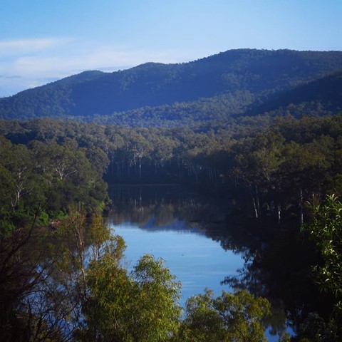
Boarding NSW and the pacific Ocean, it is not uncommon for hikes to have views of both worlds (ocean and hinterland). Hikes here are typically on the great dividing range.
Popular Walks
-
Mt Ngungun
(1151 ticks) -
Mount Coolum
(869 ticks) -
Mt Cordeaux
(665 ticks) -
Twin Falls Circuit
(635 ticks) -
Purling Brook Falls Circuit
(610 ticks)
Parent Regions
Sub-Regions
- Amamoor State Forest
- Bellthorpe National Park
- Brisbane City Council Local Walks
- Brisbane Forest park D'Aguilar National Park
- Brisbane Valley Rail Trail
- Coombabah Lakelands Conservation Area
- Daisy Hill Conservation Park
- Eumundi Conservation Park
- Glass House Mountains National Park
- Glen Rock Regional Park
- Gold Coast
- Ipswich
- Jimna State Forest
- Karawatha Forest
- Kondalilla National Park
- Lamington National Park
- Main Range National Park
- Mapleton National Park
- Moggill Conservation Park
- Moogerah Peaks National Park
- Moreton Island National Park
- Mt Barney National Park
- North Stradbroke Island - Minjeeribah
- Parklands Conservation Park
- Springbrook National Park
- Sunshine Coast
- Tamborine National Park
- White Rock - Spring Mountain Conservation Estate
History
Any interesting history for the region?
Features
What are the standout bushwalking features?
Access
How do you get there? Include all access points if there are many?
Maps
Which maps cover the region?
Accommodation
Where can I stay there? or near there?
Camping
Council Areas:
- Scenic Rim Regional
- Gold Coast City
- Logan City
- Redland City
- Ipswich City
- Lockyer Valley Regional
- Brisbane City
- Somerset Regional
- Moreton Bay Regional
- Sunshine Coast Regional
- Noosa Shire
Contact details
See Qld National parks website
Walks in Amamoor State Forest

 8.8
m
return
8.8
m
return
 2
hrs
2
hrs
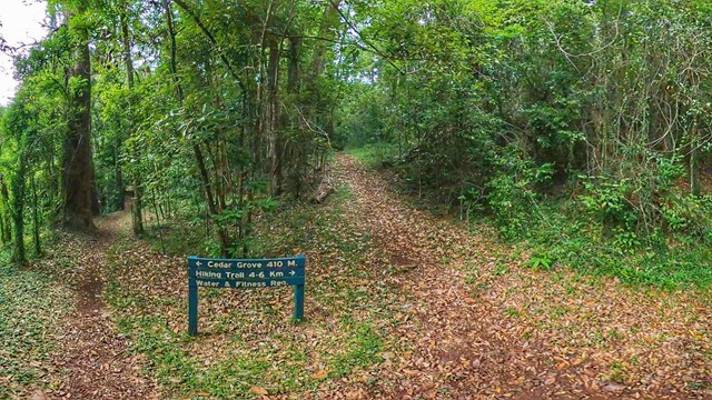
Mt Little Baldy
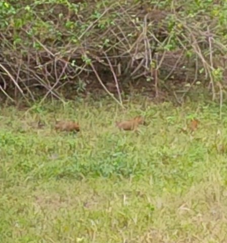
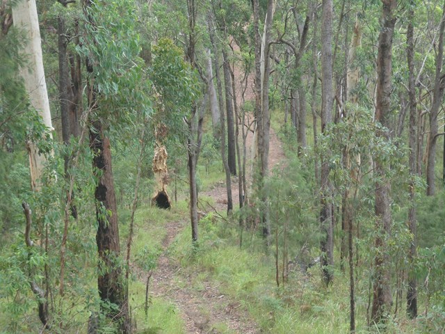
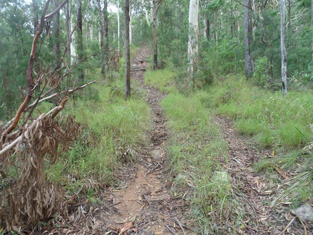
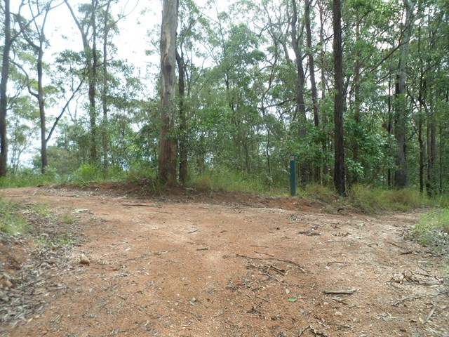
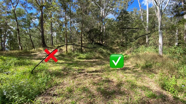
Long winding overgrown ( lantana )and seems unused forestry track leading to top of mountain which has limited views due to trees and growth yet a very peaceful walk in the State Forest.
When you get at the beginning of the Amamoor State Forest , where the sign is located right had side of road , you will find 2 tracks , facing them take the right one. Go through barbwire gate and simply follow the track up. Decent footwear required !
 1.2
km
return
30
mins
1.2
km
return
30
mins
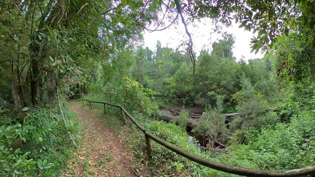
Rainforest Walk
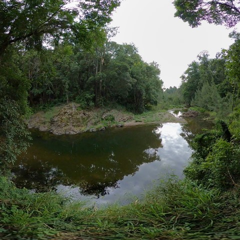
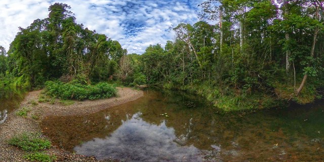
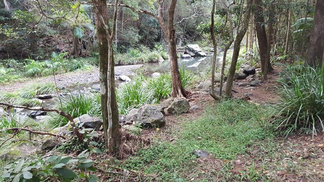
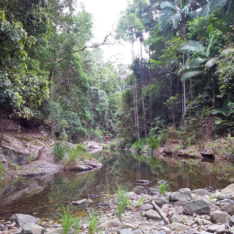
A short rainforest walk around Cedar Grove Camping Area with two intrepid crossings of Amamoor Creek.
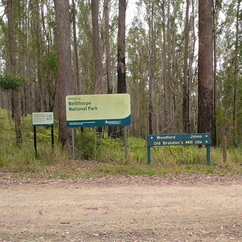
Walks in Bellthorpe National Park
 4
km
return
78
mins
4
km
return
78
mins
Beacon View Walk
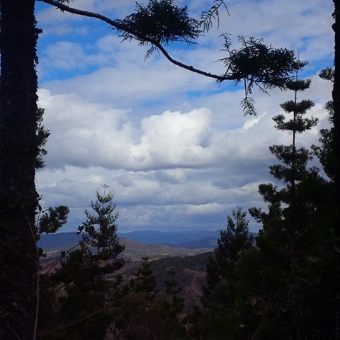
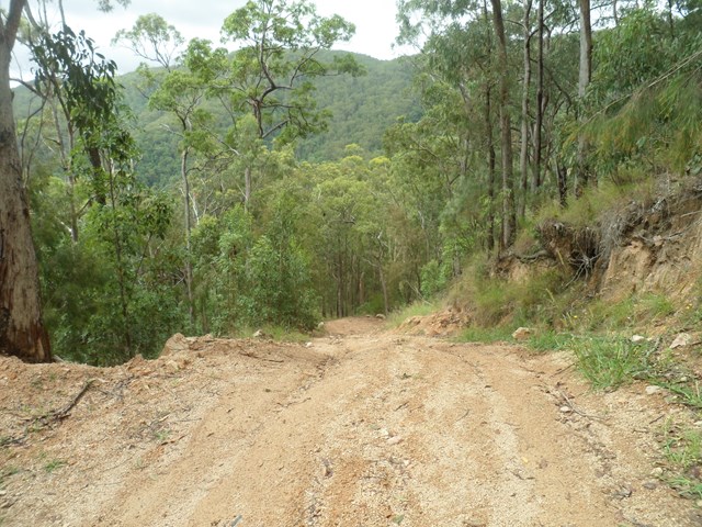
This rugged national park features open eucalypt forest, rainforest and cascades along picturesque Stony Creek. Remnants of Brandon’s Timber Sawmill can still be seen on West Bellthorpe Road. Branch Creek Road offers a moderately challenging and picturesque 4WD opportunity as it winds up through the middle of the park.
Although this is predominantly a 4wd and horse riding park , there’s nothing stopping you parking your car at a gate or side of road and walk to the destinations.
 4.42
km
return
5
hrs
4.42
km
return
5
hrs
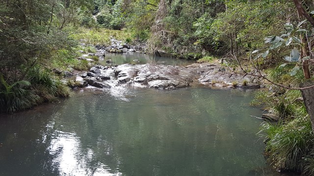
Branch Creek
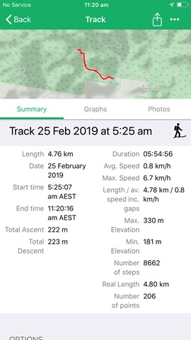
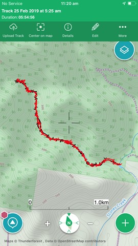
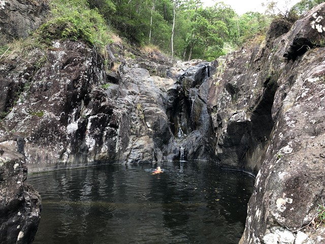
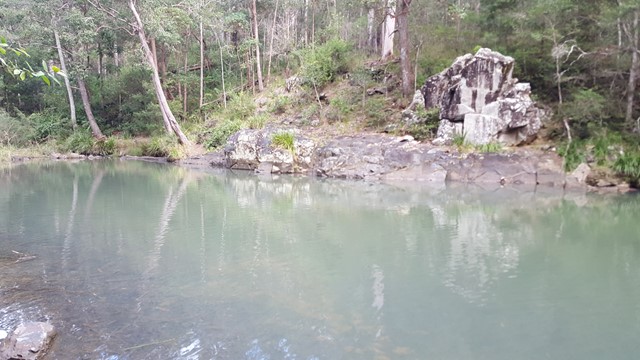
From the Stony Creek day use area, the junction of Branch Creek with Stony Creek is at the main swimming hole. Branch Creek goes west from here. Can be very slippery after wet weather. Lots of rock hopping, and a few places to climb waterfalls.
 1.5
km
return
45
mins
1.5
km
return
45
mins
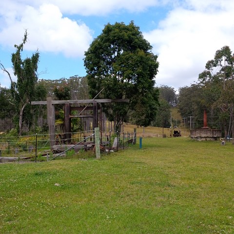
Brandson Saw Mill
This rugged national park features open eucalypt forest, rainforest and cascades along picturesque Stony Creek. Remnants of Brandon’s Timber Sawmill can still be seen on West Bellthorpe Road. Branch Creek Road offers a moderately challenging and picturesque 4WD opportunity as it winds up through the middle of the park.
Although this is predominantly a 4wd and horse riding park , there’s nothing stopping you parking your car at a gate or side of road and walk to the destinations.
 3
km
return
1
hr
3
km
return
1
hr
Mt Peachester
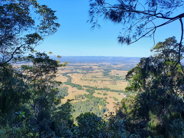
A short potentially overgrown trail (unless you time it for after the forestry trails slashing) to the top of Mt Peachester. There you can peer through the bushes to get some views over the surrounding countryside.
 600
m
return
30
mins
600
m
return
30
mins
Stony Creek
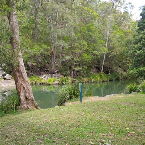
The rugged Bellthorpe National Park features open eucalypt forest, rainforest and cascades along picturesque Stony Creek. An easy stroll along the creek to the lake and a beautiful place to stop and picnic.
Walks in Brisbane City Council Local Walks
 2
km
return
1
hr
2
km
return
1
hr
Anstead Bushland Reserve
Mostly flat, very easy walking tracks, well signposted. Lots of local wildlife information along the walk and quiet a nice view out over the old quarry and Brisbane River.
 4.5
km
return
90
mins
4.5
km
return
90
mins
Banks Street Reserve
34 hectare bushland, leftover of the "Three Mile Scrub" rainforest in Alderley Heights/ Newmarket. Network of trails for walkers and bikes.