
Menu
Popular Walks
-
Mt Ngungun
(1156 ticks) -
Mount Coolum
(872 ticks) -
Mt Cordeaux
(668 ticks) -
Twin Falls Circuit
(636 ticks) -
Purling Brook Falls Circuit
(611 ticks)
Summary
The Sunshine State
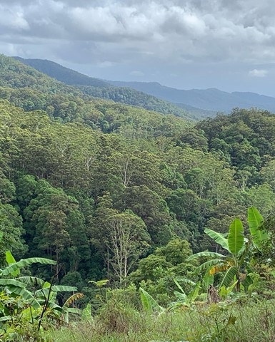
Queensland has a wealth of bushwalking opportunities including multiple World Heritage Listed rainforests such as the Daintree and Lamington National Park, great coastal and island parks like Fraser Island and Hinchinbrook Island.
Popular Walks
-
Mt Ngungun
(1156 ticks) -
Mount Coolum
(872 ticks) -
Mt Cordeaux
(668 ticks) -
Twin Falls Circuit
(636 ticks) -
Purling Brook Falls Circuit
(611 ticks)
Sub-Regions
Other Information
World Heritage Areas
- Fraser Island
- Gondwana Rainforests of Australia (Lamington NP, Springbrook NP, Mount Chinghee NP, Mount Barney NP, Main Range NP)
- Great Barrier Reef
- Riversleigh
- Wet Tropics (Daintree NP, Barron Gorge NP, Cedar Bay NP, Girringun NP, Wooroonooran NP)
Contact details
Queensland Parks and Forest:
https://parks.des.qld.gov.au/
Regions
The link below provides a region map of QLD as a reference to what council zones are included in the 7 geographic regions of QLD.
https://en.wikipedia.org/wiki/Regions_of_Queensland#/media/File:Qld-regions-map.gif
- Far North Queensland
- North Queesnland
- Central Queensland
- Mackay, Isaac and Whitsunday
- Wide Bay Burnett
- Darling Downs South West
- South East Queensland
Walks in Springbrook National Park
(South East Queensland)
 8.7
km
return
8.7
km
return
 4
hrs
4
hrs
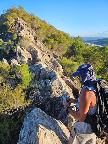
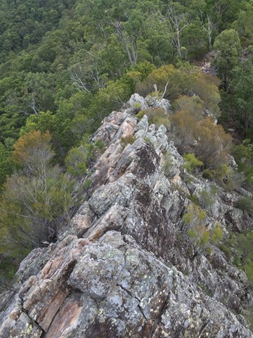
Pages Pinnacle Eastern Approach via Neranwood Break
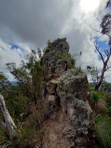
A steep ascent of 368 meters over the first two kilometers up Neranwood Break before following Pinnacle Break to the Pages Pinnacle footpad on the right where The Razorback Ridge is then traversed to the summit.
 4
km
return
2
hrs
4
km
return
2
hrs
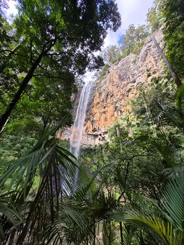
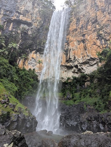
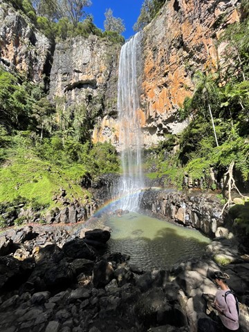
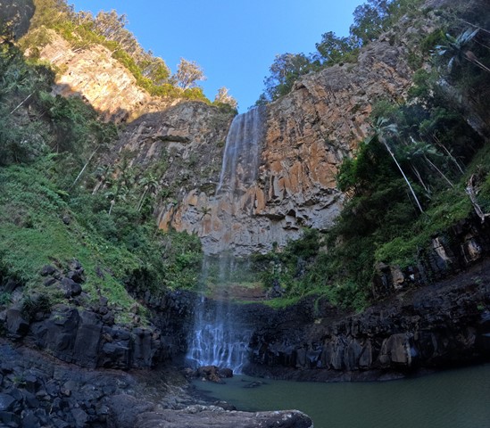
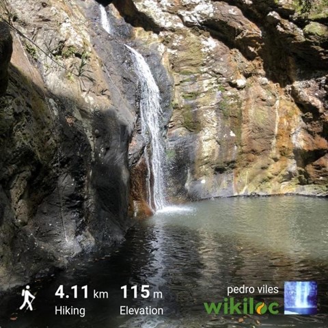
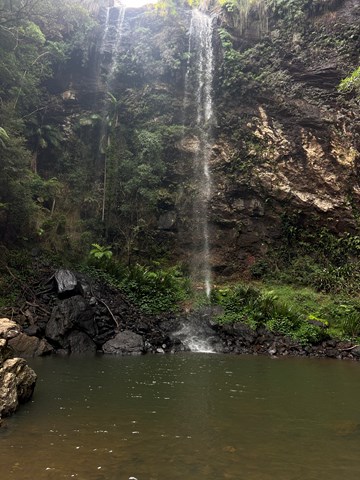
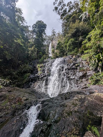
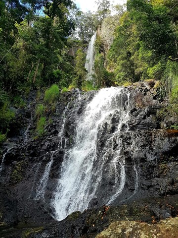
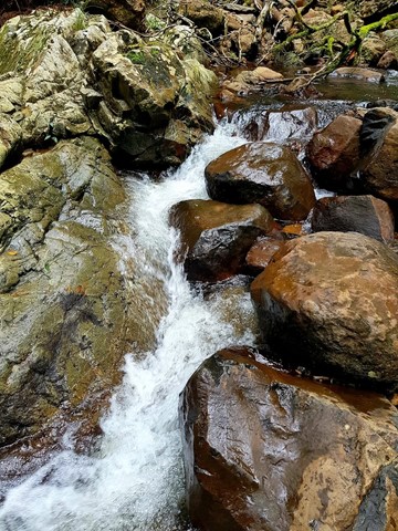
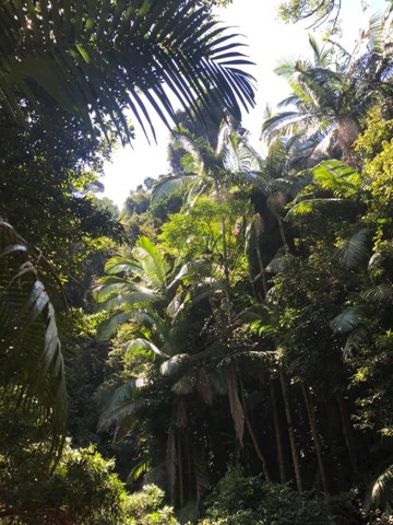
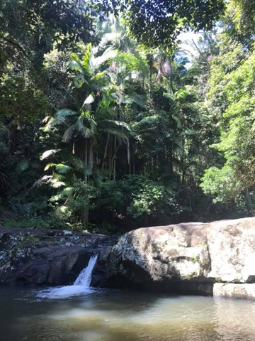
Purling Brook Falls Circuit
Together with Twin Falls Circuit, one of the must do's in this Park. Viewpoints, waterfalls, swimming holes, wildlife, name it, it is there! Optionally add an extra 2km to reach the lower Warringa pool. Follow path clockwise to avoid walking up 450 steps!
 20
km
return
7
hrs
20
km
return
7
hrs
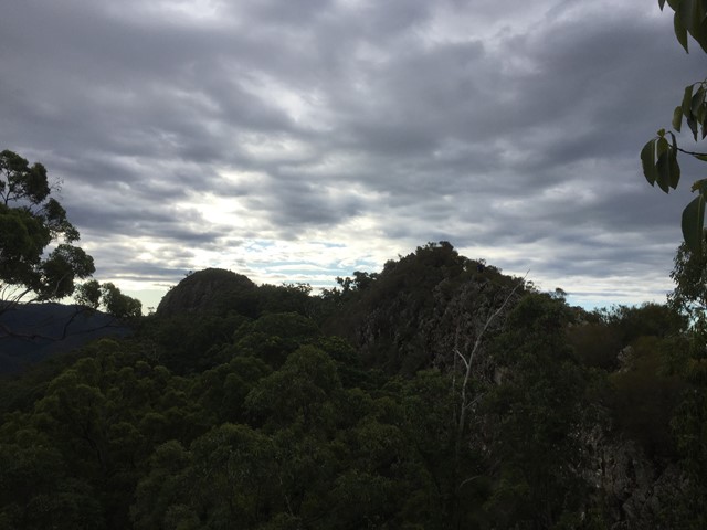
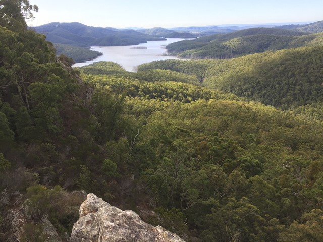
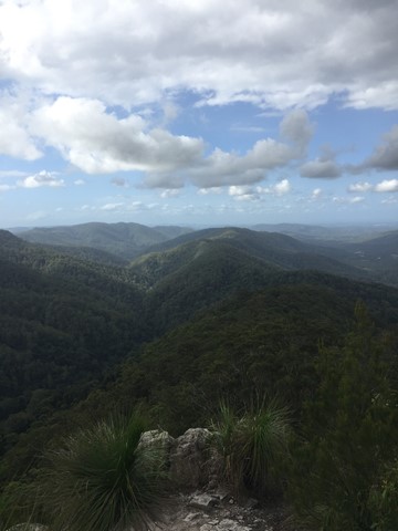
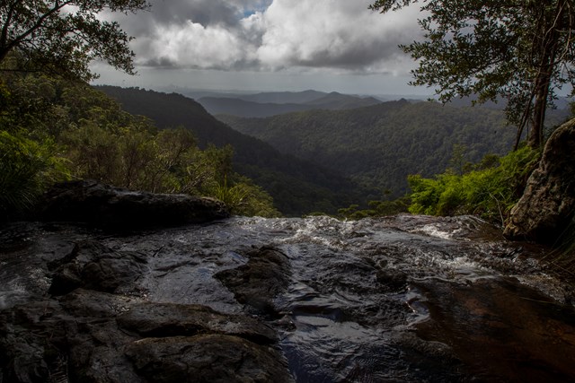
Springbrook Pinnacle
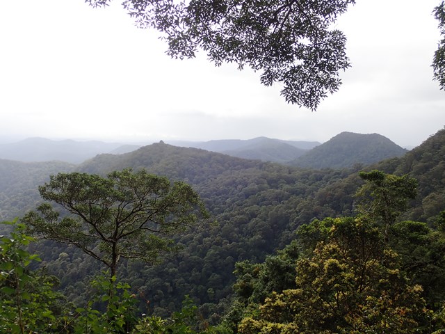
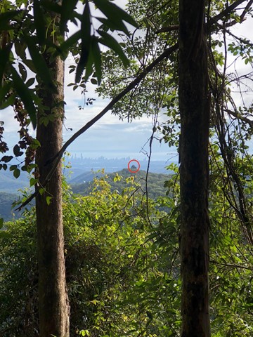
This walk takes you to the Springbrook Pinnacle via the Warrie Circuit. The Pinnacle requires scrambling but offers 360 panoramic views. The Warrie Circuit goes through rainforest with many waterfalls to see and go under.
 11.5
km
return
4.5
hrs
11.5
km
return
4.5
hrs
The Cream Track
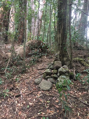
The Cream Track is the name given to a track from the Tallebudgera Valley, up to the Springbrook Plateau, following a route that early dairy farmers used to get their product down to the coast. It is a challenging track, because of its gradient, and especially challenging after rain.
 6
km
return
2.5
hrs
6
km
return
2.5
hrs
The Pinnacle and Fairview Mountain via Valley Break
From the end of Austinville rd follow the 4wd track of Valley Break to Fairview Mountain and then turn left onto a at times overgrown single track till The Pinnacle (Springbrook Pinnacle) which is contoured around to the right where the route up becomes apparent (on the opposite side of the pinnacle as of that you approached (Southern side)). A scramble to the summit which offers 360 views.
 4.6
km
return
90
mins
4.6
km
return
90
mins
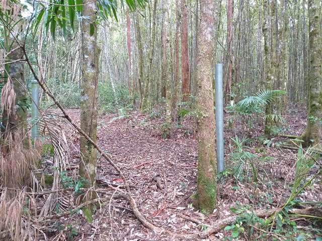
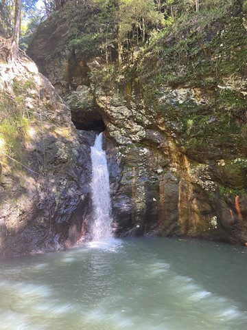
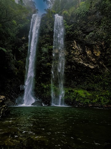
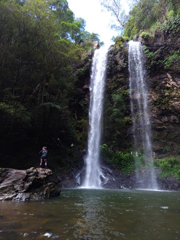
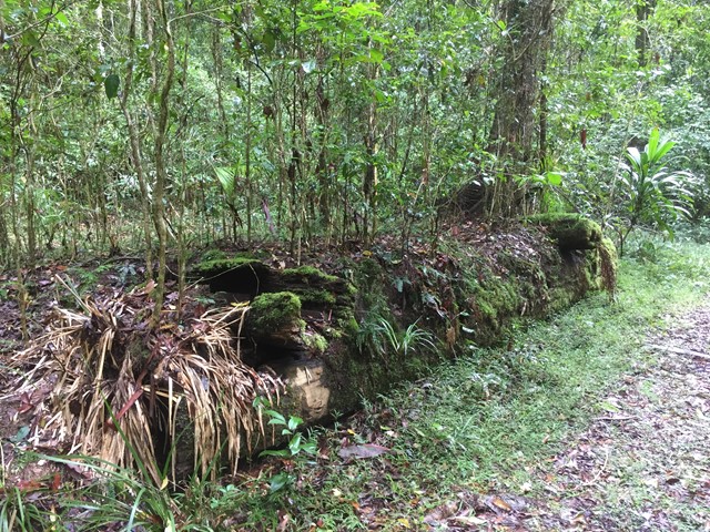
Twin Falls Circuit
A rewarding sheltered walk through rainforest rock clefts and behind the twin falls.
 17
km
return
5
hrs
17
km
return
5
hrs
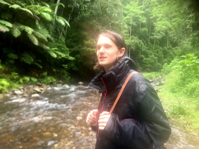
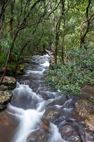
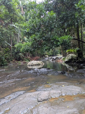
Warrie Circuit
Beautiful walk through the valley. Pass and go through lots of waterfalls and rainforest.
Stop at Apple Tree Park for toilet stop on way. Circuit is another 5-10min drive from there.
Public toilets are also located at Tallanbana Picnic Area approximately 300m on the right before Canyon Lookout where Warrie Circuit begins - toilets are set back off the road and can't be seen from the road, but, they're there just behind the picnic tables.
Cuts across the Ngarri-dhum Falls a few times in one half, and the Little Nerang Creek in the other half. The half way point is the Meeting of the Waters where (as the name suggests) the two creeks meet.
 2
km
return
45
mins
2
km
return
45
mins
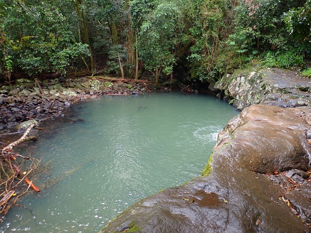
Warringa Pool Track
This is the additional park to Purlingbrook Falls that leads down to the rock pools. A nice cascade half way down and several cascades surrounding the pools. This is also part of the Gold Coast Hinterland Great Walk.
 13
km
return
5
hrs
13
km
return
5
hrs
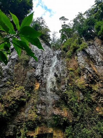
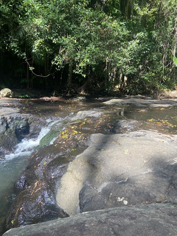
Waterfall Creek Trail
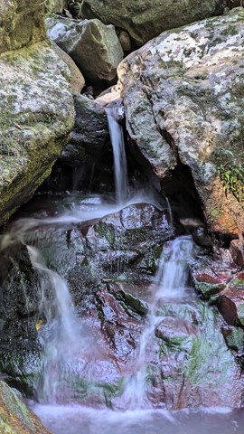
What starts out as ordinary walk leads to some great rock hopping, swimming and gorge exploring
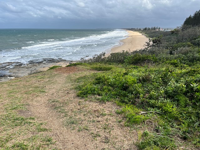
Walks in Sunshine Coast
(South East Queensland)
10
km
one-way
2.5
hrs
Bokarina to Pt Cartwright (SCCP 6)
Coastal walk that is part of the Sunshine Coast Coastal Path.