
The Cream Track
Springbrook National Park


Menu
GPS Tracks


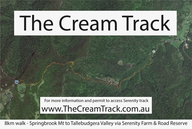
The Cream Track is the name given to a track from the Tallebudgera Valley, up to the Springbrook Plateau, following a route that early dairy farmers used to get their product down to the coast. It is a challenging track, because of its gradient, and especially challenging after rain.

Getting there
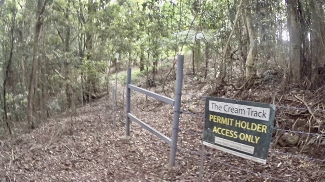
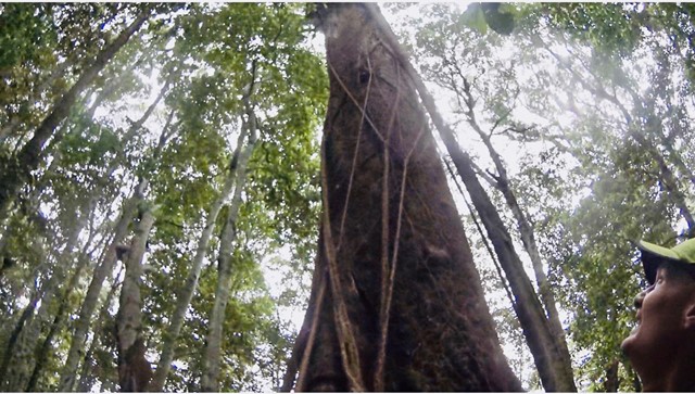
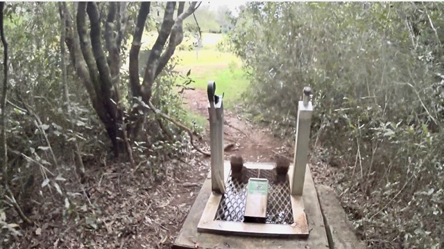
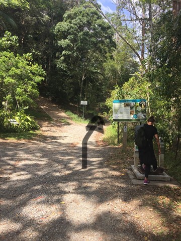
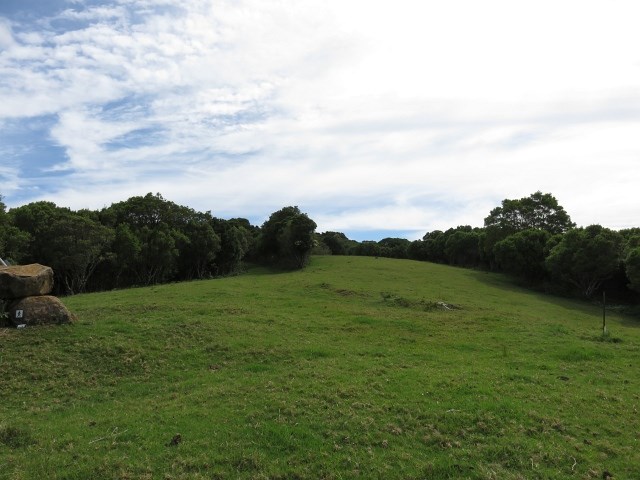
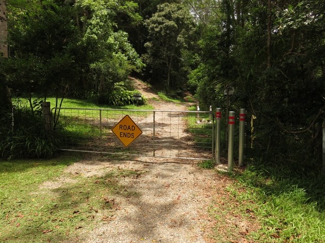
The track begins at the end of Tallebudgera Creek Road (sealed all the way), where there is a carpark and Gold Coast City Council signage describing the track. Notably, the sign describes going to a website in order to obtain a permit to cross some private property on the Springbrook end of the track, but the website no longer exists. There are now no signs prohibiting access on the way up the mountain, and the old signs a walker encounters on the way back down are, like the GCCC signage, clearly out of date. Walkers should keep to the path (which is, on the whole, quite well-formed), and respect the multiple "private property" notices that are passed.
Walk Details
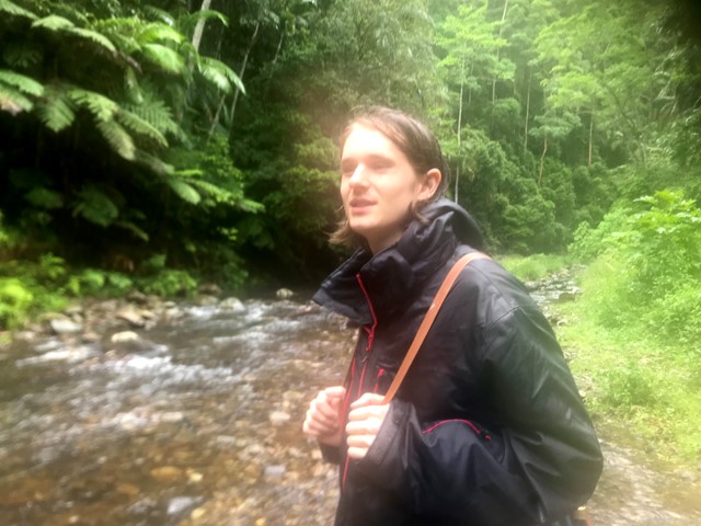
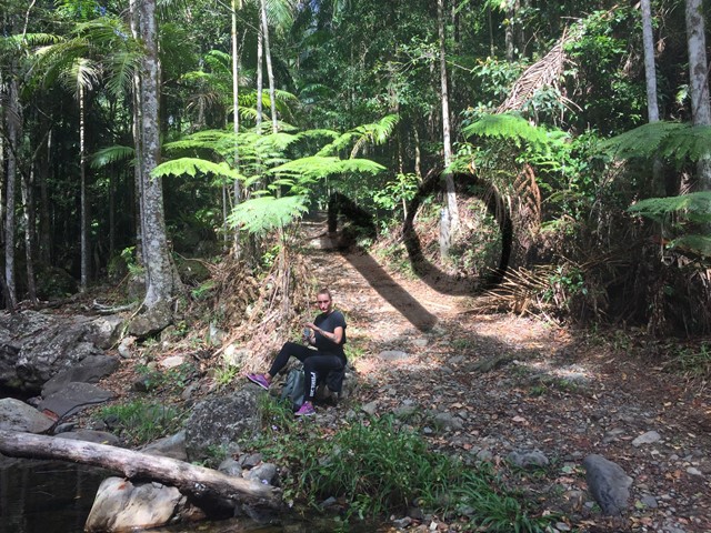
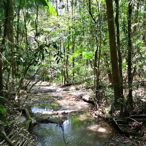
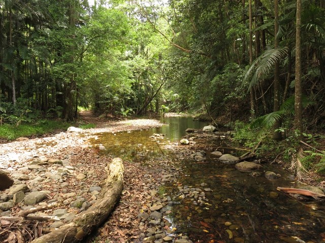
Cross through a gate at the start of the track and travel about 800m following the creek. There are three creek crossings which may require getting your feet wet, depending on whether there's been recent rain. Soon after the third crossing the track diverges, with the right hand track clearly signed as the Cream Track (the left follows the creek to various swimming holes; handy for the end of your walk).
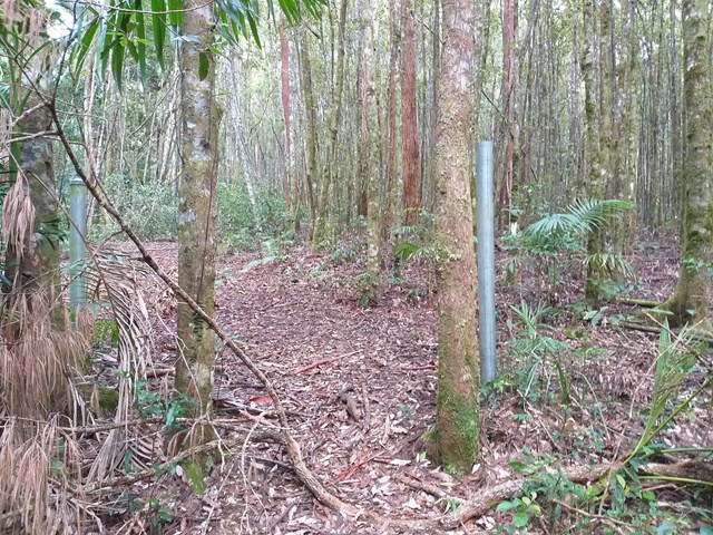
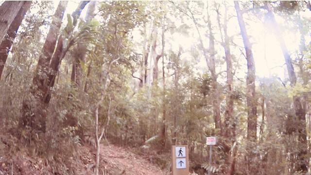
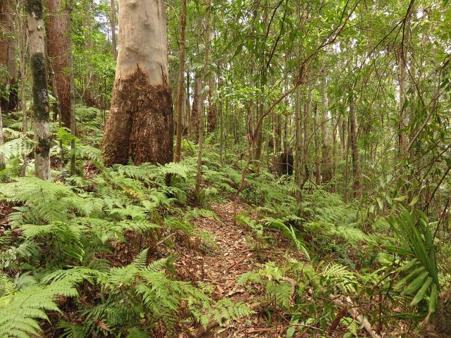
From this point, the next few kilometres are almost relentlessly upward, with some sections being quite steep. At times you walk on a clear footpad, and at other times you walk along the old 4WD track. The GCCC trail markers are pretty clear, especially around the bottom half of the walk.
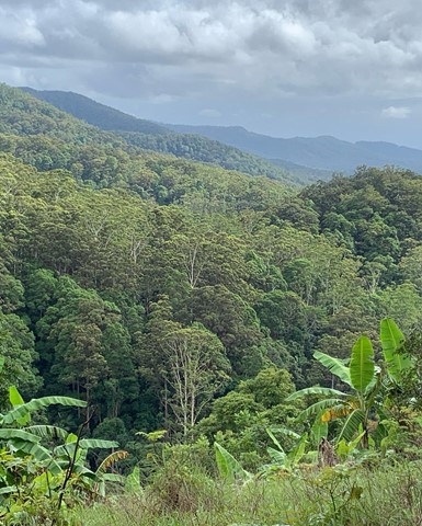
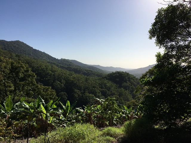
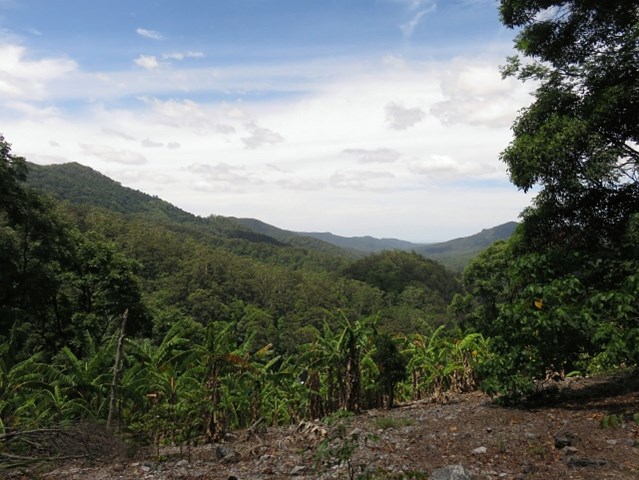
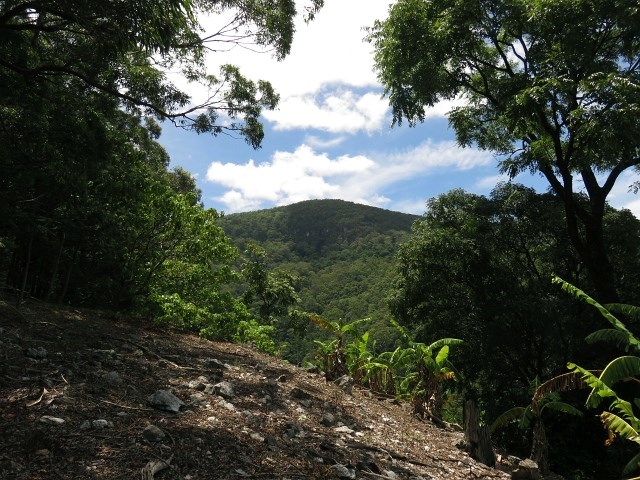
About 2km in, you'll come across a viewpoint, near a banana plantation, with views north towards Mt Gannon and Tallebudgera Mountain. The next 2km or so are the steepest part of the track, though there are still a few short inclines to negotiate towards the top. There aren't any significant navigational difficulties.
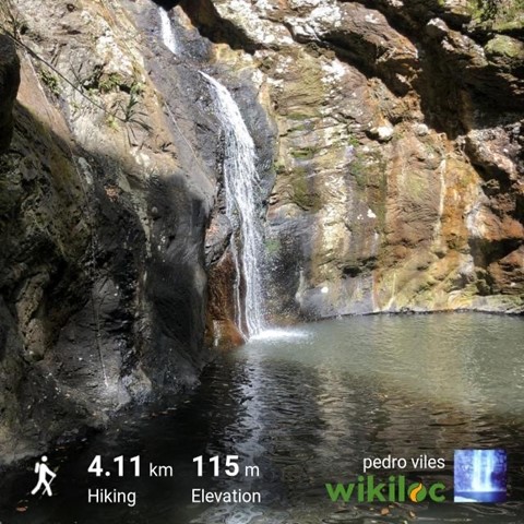
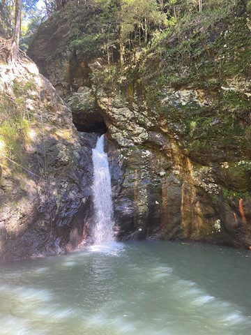
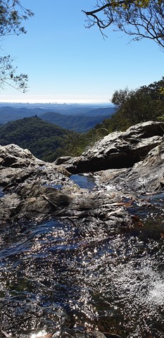
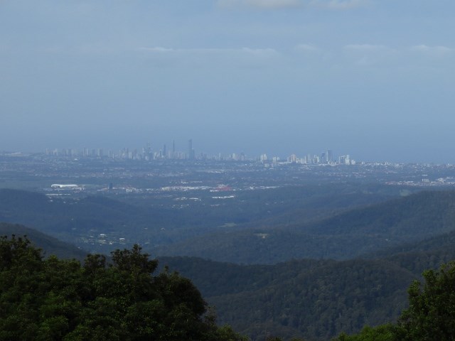
Towards the end of the track, it opens out onto a gravel road that leads to the Goomoolahra Picnic Area and Lookout, with good views towards the coast and a waterfall (weather dependent). Retrace your steps to return to the start, and keep your eye out for views of the Cougals on your way back down.
Maps
QTopo: Mount Cougal 9541-132 and Springbrook 9541-133
 The Cream Track - Springbrook Mountain to Tallebudgera Valley (KML)
 11.5
11.5 4.5
4.5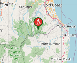
Comments