The Cream Track

Springbrook National Park

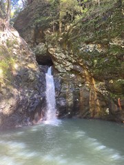
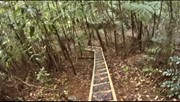
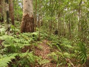
The Cream Track is the name given to a track which generally follows Road Reserve from Springbrook Mountain to Tallebudgera Valley, including some sections of private property and National Park.

Waterfalls
Lookouts
Bird Watching
Picnic Facilities
BBQ
Toilets
No Dogs Permitted
No Camping Permitted
Rainforest
828m
Maximum Elevation
708m
Total Climb

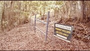
The website www.thecreamtrack.com.au was created by the owner's of Serenity - a 100 year old farm and Highland Cattle Stud located on 200 acres at 2940 - 3000 Springbrook Road, bordering the Road Reserve and National Park on the Springbrook Plateau.  In order to avoid prosecution for trespass on this property and better secure your safety from the dangers of farm machinery and livestock on this working farm, the following online permit and disclaimer has been created to provide legal permission for you to walk upon sections of the cream track which are contained on that private land forming part of The Cream Track experience.

Originally little more than a single track sufficient to support a pack horse during the days when cream was produced on Springbrook Mountain over 90 years ago, the old track was relocated in places and developed by Timber Getters in the 1930s and again during World War Two by the Australian & American Army to allow passage to military jeeps, soldiers and other equipment stationed on the farm for observation and strategic purposes. 

In the 1980s, National Parks and the Rural Fire Authority conducted significant maintenance works upon Springbrook Mountain sections of the track using a D6 bulldozer to ensure continuing access during times of emergency, thus contributing to the diversion of the original track and establishment of the current track to its  present location.

The owners of Serenity are proud to celebrate the cultural and natural heritage of this track by maintaining access for emergency services, National Parks personnel and keen bush walkers from around the world who regularly use the track to explore the World Heritage listed Springbrook National Park and environs.

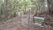
Remember that trespass applies to all walkers on the Serenity Farm sections of the track who enter without a valid permit and that walkers wishing to remain on the Road Reserve without entering the property must stay on the Northern side of the established fences line at all times to avoid prosecution.

Your assistance in completing the online indemnity form and permit at www.thecreamtrack.com.au will ensure the continued support of the property owners and trouble free access to the Serenity track on the day of your walk. 

Getting there

2940 Springbrook Road, Springbrook QLD 4213 or the end of Tallebudgera Creek Rd, Tallebudgera Valley, QLD 4228.  If you do not want to walk return a car shuffle will take an hour between the start and end. You can start from either end.

Maps

Springbrook NP

Route/Trail notes

Springbrook Mountain to Tallebudgera Valley via Serenity Farm (private property) and State Government Road Reserve

Permits/Costs

A free permit is required and accessible via www.thecreamtrack.com.au

Other References

www.thecreamtrack.com.au

Comments

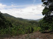
A good walk, although if you haven't got a car waiting at the other end it's a two-way trip; round trip about 5 hours (2 down, 3 up). Pretty steep, and as you're under the canopy most of the way there aren't many opportunities for views, tantalising as the bits you can see suggest it would be quite spectacular. Take lunch; there's nowhere to eat at the bottom, and the cafe's on Springbrook are open irregularly. Have fun!

John F on Sep, 2019

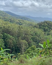
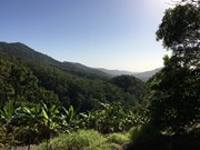
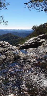
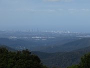
Good walk, took me about 3.5 hours. It's fairly well sign posted, but there's a few points that could use a tad more tape. Fantastic views of the Gold Coast from the top.

Bec on 11 May, 2019

Pretty hard track, but well worth it. You'll be we inside the bush! Quite steep! Very rewarding dip in the creek down below at Tallebudgera

Cesar on 4 Nov, 2018

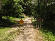
This was a really challenging walk. The first walk for both of us in a long while so can’t believe we chose this one! We started at the bottom. You drive right to the end of the road until you find a little car park a creek and a house and then there is a gate you enter. Don’t forget a permit which is free just in case. There are heaps of areas where you can easily veer off track so keep a watchful eye out for the surveyors tape. This track is so steep in some parts that I felt like it just wouldn’t end but once you get to the farm and turn around and sit on the benches there you realise why you just sweated and struggled up the mountain! The view is super amazing and honestly it’s worth the hike up...we didn’t bother finishing at the top and stayed just at the chairs and then made our way back down through the cow pats to the track again. The hike back down was just as hard and we slipped a lot on the way down especially at the end in the mud where there was no where to hold on to.
All in all this track was good and we will do again as a challenge.

Belindak77 on 27 May, 2018

So slippery in the wet coming down..good challenge going up!

Sally on 22 Apr, 2018

Nice trailed hike, pretty scenery, good view from the top. Workout going up makes it fun on the descent!

Lia Skye
www.livingahimsa.com.au

Lia Skye on 22 Jan, 2018

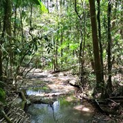
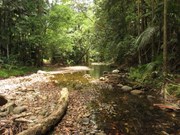
Fantastic track, we didn't come across any other walkers today which made it feel like a hidden gem. Initial start has gorgeous creek crossings (which could definitely be more difficult after rain), then the incline begins & continues pretty much all the way. Good views & beautiful bush, falling the pink tape isn't hard although we lost it twice, we found it quickly enough. The track did take us longer than expected, my trail app logged us at 11.5km return & 4.5hrs with a lunch break.

petalani on 1 Jul, 2017

A great but challenging walk. As this track is not used too much it's likely you'll get to see wildlife not seen around the more popular Springbrook tracks. There's a couple of decent views along the way too.

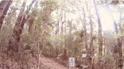
New guideposts have really improved track visibility but it still needs a bit of work. You'll still need to follow the pink tape in a number of sections. We accidentally went off track twice but it did not take too long to find our way back. I highly recommend to bring a GPS with you.

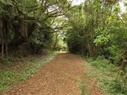
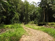
The main service track is in good condition however to avoid private property sometimes the track veers off into rougher and slightly overgrown areas, because of this you really should wear long pants. I received a few scratches and collected a tick. The track is steep is some sections but manageable.

Thank you to the land owner of Serenity Farm who allow walkers to access this track :-)

rob.bushman on 11 Dec, 2016

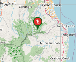
Where

Click here to load this map.

Nearby Walks

Done this walk?

This walk has been ticked 56 times

Aussie Bushwalking can keep track of your bushwalks.

Login/signup to tick this walk off.

Tick walks to keep track of where you've been. You must Login to tick walks. Accounts are 100% free so sign up if you don't have one.