
The Pinnacle and Fairview Mountain via Valley Break
Springbrook National Park


Menu
GPS Tracks
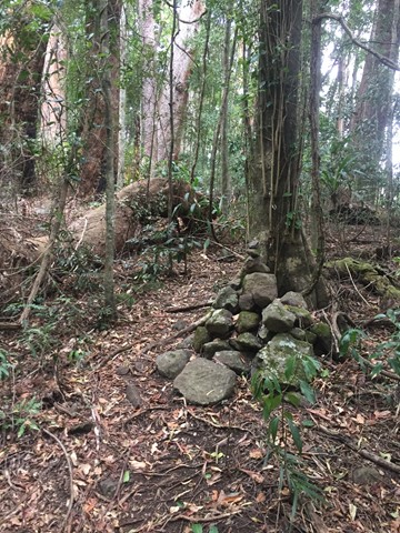


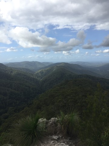

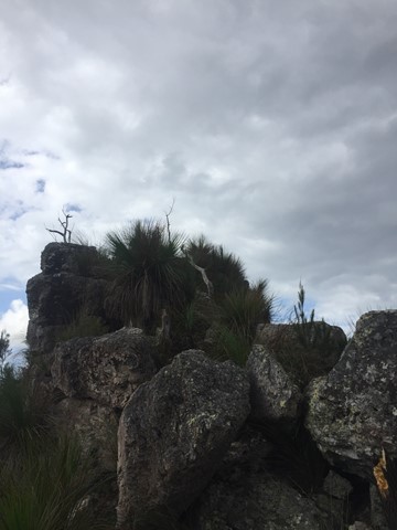
From the end of Austinville rd follow the 4wd track of Valley Break to Fairview Mountain and then turn left onto a at times overgrown single track till The Pinnacle (Springbrook Pinnacle) which is contoured around to the right where the route up becomes apparent (on the opposite side of the pinnacle as of that you approached (Southern side)). A scramble to the summit which offers 360 views.

Getting there
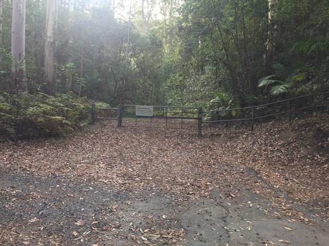
How do you get to the start of the walk?
End of Austinville Rd
Maps
Which maps cover the area?
Maps of Springbrook National Park
Route/Trail notes
A detailed description of the walk!
From the end of Austinville rd follow the 4wd track of Valley Break to Fairview Mountain and then turn left onto a at times overgrown single track till The Pinnacle (Springbrook Pinnacle) which is contoured around to the right where the route up becomes apparent (on the opposite side of the pinnacle as of that you approached (Southern side)).
Permits/Costs
Do you need any permits? What's the cost?
Free
Other References
How can I find more info? Any guide books?
 The Pinnacle and Fairview Mountain via Valley Break (GPX)
 6
6 2.5
2.5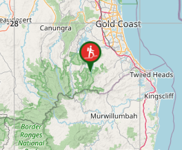
Comments