
Menu
Popular Walks
-
Mt Ngungun
(1155 ticks) -
Mount Coolum
(872 ticks) -
Mt Cordeaux
(668 ticks) -
Twin Falls Circuit
(636 ticks) -
Purling Brook Falls Circuit
(611 ticks)
Summary
The Sunshine State
Queensland has a wealth of bushwalking opportunities including multiple World Heritage Listed rainforests such as the Daintree and Lamington National Park, great coastal and island parks like Fraser Island and Hinchinbrook Island.
Popular Walks
-
Mt Ngungun
(1155 ticks) -
Mount Coolum
(872 ticks) -
Mt Cordeaux
(668 ticks) -
Twin Falls Circuit
(636 ticks) -
Purling Brook Falls Circuit
(611 ticks)
Sub-Regions
Other Information
World Heritage Areas
- Fraser Island
- Gondwana Rainforests of Australia (Lamington NP, Springbrook NP, Mount Chinghee NP, Mount Barney NP, Main Range NP)
- Great Barrier Reef
- Riversleigh
- Wet Tropics (Daintree NP, Barron Gorge NP, Cedar Bay NP, Girringun NP, Wooroonooran NP)
Contact details
Queensland Parks and Forest:
https://parks.des.qld.gov.au/
Regions
The link below provides a region map of QLD as a reference to what council zones are included in the 7 geographic regions of QLD.
https://en.wikipedia.org/wiki/Regions_of_Queensland#/media/File:Qld-regions-map.gif
- Far North Queensland
- North Queesnland
- Central Queensland
- Mackay, Isaac and Whitsunday
- Wide Bay Burnett
- Darling Downs South West
- South East Queensland

 1.7
km
1.7
km
 1
hr
1
hr
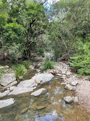
Turrbal Circuit
A walk through open bushland to the creek beds. Very enjoyable short walk.
 12.5
km
return
5
hrs
12.5
km
return
5
hrs
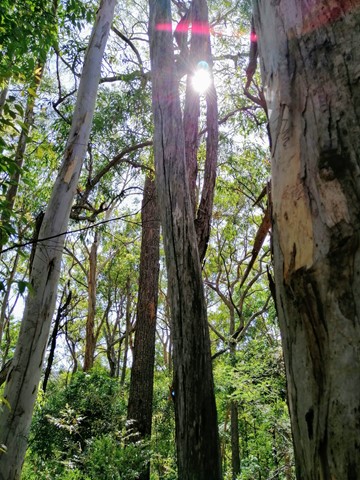
Upper Byron Creek
A lovely walk along the crest of the D'Aguilar Range with a creek to walk along.
 4.5
km
return
3
hrs
4.5
km
return
3
hrs
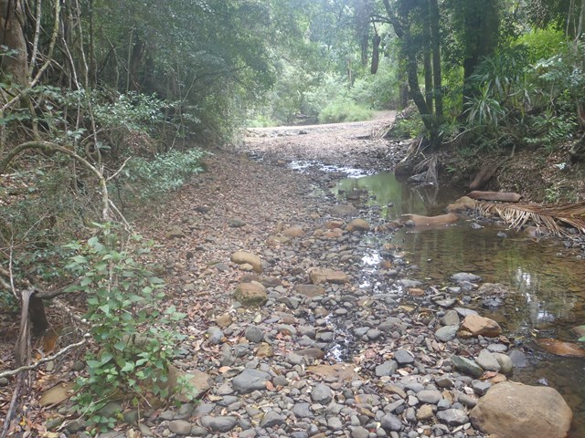
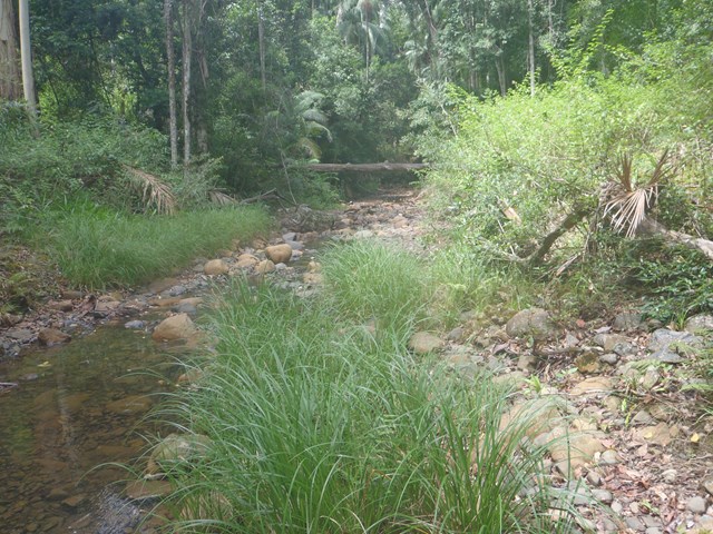
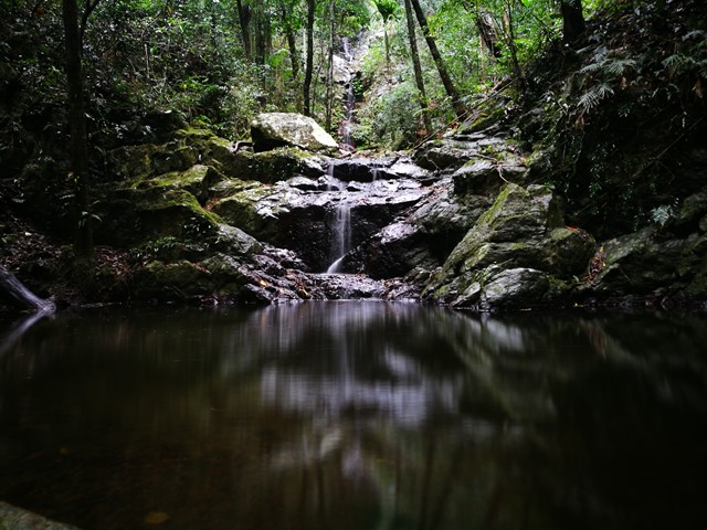
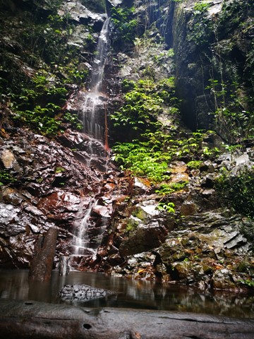
Upper Kobble Creek South Branch
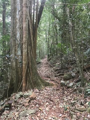
A nice rainforest walk that starts along and old logging trail then ends up going bush for the last stretch downhill to the creek and waterfall.
 1.2
km
return
30
mins
1.2
km
return
30
mins
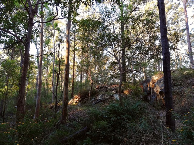
Western Window Track
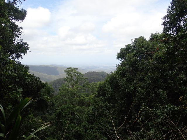
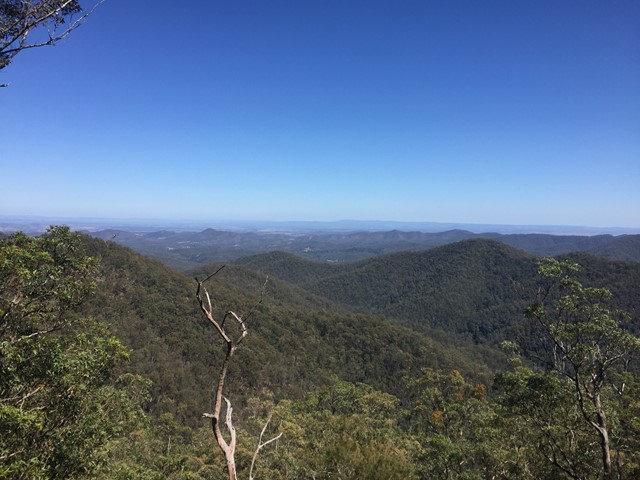
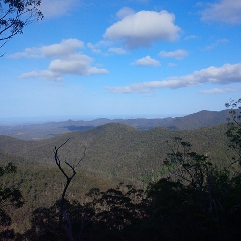
This track starts from the top of Maiala day-use area (the south side of Mount Glorious Road) and runs along the escarpment to the Western Window—an expansive undulating view to the west. Visit the window at sunset for an awe-inspiring day’s end.
 6
km
return
2.5
hrs
6
km
return
2.5
hrs
Westside Track
On the opposite side of the Maiala Picnic Area there is a small clearing. Some BBQ tables and chairs are there as well as a fire ring. At the entrance to the walking track there's an information board. Full great info and history.
 300
m
return
20
mins
300
m
return
20
mins
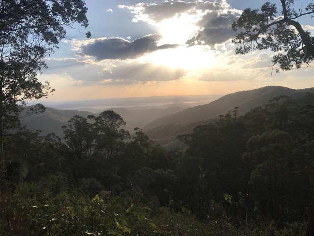
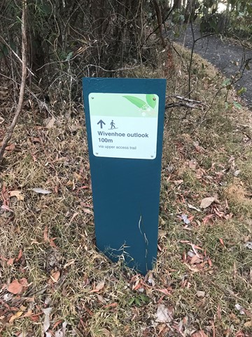
Wivenhoe Outlook
Visit the lookout for panoramic views of Northbrook Valley's green ridges and the reflective waters of Lake Wivenhoe.
Spy carpet pythons basking in the sun, or pink-tongued lizards carefully camouflaging themselves in the leaf litter. Listen for the unusual cat-like mewing cry of the catbird in the valley below.
 1.4
km
1
hr
1.4
km
1
hr
Aboriginal Artwork Track/ Hoop Pine Trail
The Aboriginal Artwork Trail was created in 1993, the international year of the World's Indigenous People. It has since been renamed the Hoop Pine Trail.
 200
m
return
30
mins
200
m
return
30
mins
Australian Rainforest Trail
Short walk with information about native Australian rainforest plants and Aboriginal uses.
 6
km
2
hrs
6
km
2
hrs
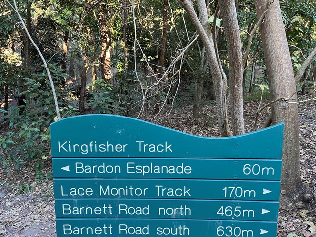
Bardon Bushland
Several short trails which link together through parts of Bardon/Ashgrove/The Gap. Entrances to the trails are the Bardon Esplanade (across the creek and bridge) north and south Barnett Rd and Trinder Rd The Gap. There is a goat track just off the Barnett Rd trails (before you reach the dead-end of the track at private property) which connects to the Quarry Trail - You need to walk along a steep ridge to get to it - and this will connect you to the rest of the Mt Coot-tha trails.