
Menu
Popular Walks
-
Mt Ngungun
(1155 ticks) -
Mount Coolum
(872 ticks) -
Mt Cordeaux
(668 ticks) -
Twin Falls Circuit
(636 ticks) -
Purling Brook Falls Circuit
(611 ticks)
Summary
The Sunshine State
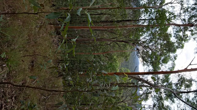
Queensland has a wealth of bushwalking opportunities including multiple World Heritage Listed rainforests such as the Daintree and Lamington National Park, great coastal and island parks like Fraser Island and Hinchinbrook Island.
Popular Walks
-
Mt Ngungun
(1155 ticks) -
Mount Coolum
(872 ticks) -
Mt Cordeaux
(668 ticks) -
Twin Falls Circuit
(636 ticks) -
Purling Brook Falls Circuit
(611 ticks)
Sub-Regions
Other Information
World Heritage Areas
- Fraser Island
- Gondwana Rainforests of Australia (Lamington NP, Springbrook NP, Mount Chinghee NP, Mount Barney NP, Main Range NP)
- Great Barrier Reef
- Riversleigh
- Wet Tropics (Daintree NP, Barron Gorge NP, Cedar Bay NP, Girringun NP, Wooroonooran NP)
Contact details
Queensland Parks and Forest:
https://parks.des.qld.gov.au/
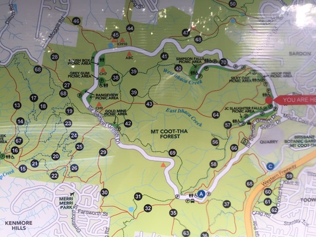
Regions
The link below provides a region map of QLD as a reference to what council zones are included in the 7 geographic regions of QLD.
https://en.wikipedia.org/wiki/Regions_of_Queensland#/media/File:Qld-regions-map.gif
- Far North Queensland
- North Queesnland
- Central Queensland
- Mackay, Isaac and Whitsunday
- Wide Bay Burnett
- Darling Downs South West
- South East Queensland

 6
km
return
6
km
return
 90
mins
90
mins
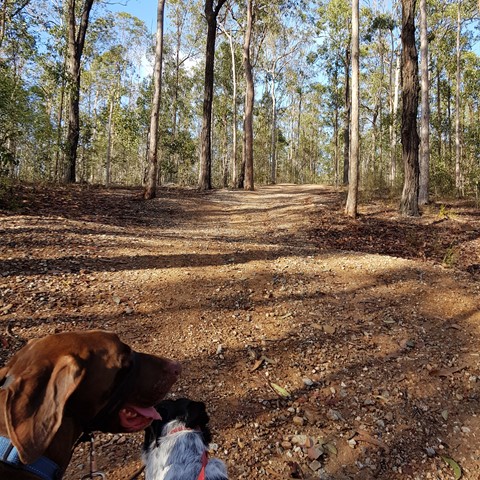
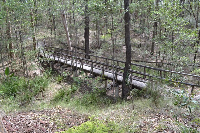
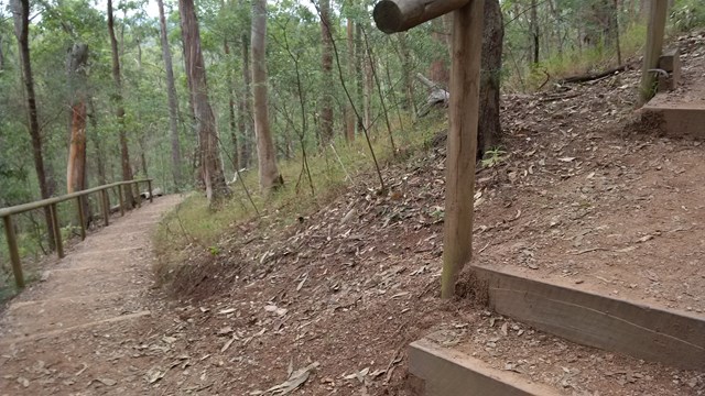
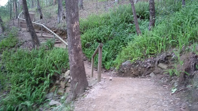
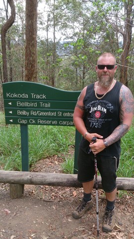
Bellbird trail, Kokoda trail, Jacksonia trail circuit from Gap Creek Reserve
Bellbird Trail, Kokoda Trail up to top of hill and then back down Jacksonia Track- steep climb up to top of Mt C
7.3
km
return
3
hrs
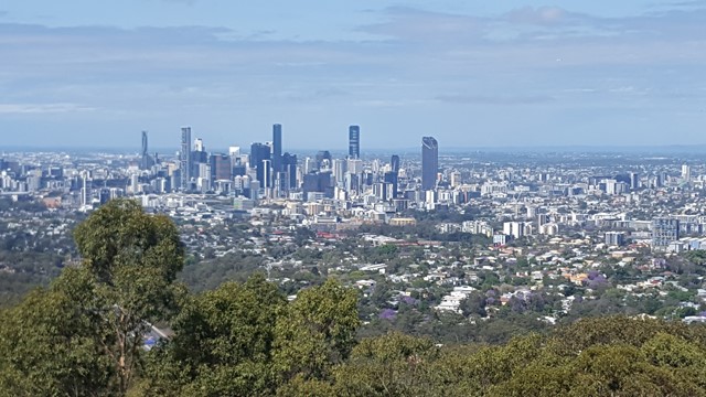
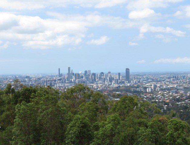
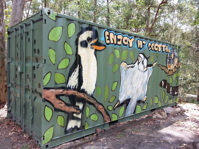
Botanic Gardens to Mt Coot-tha
An opportunity to enjoy a walk through the Botanic Gardens and continue on up through the Reserve to the summit lookout atop Mt Coot-tha.
 3
km
return
1
hr
3
km
return
1
hr
Curlew and Ironbark Circuit
Wide tracks but plenty of medium difficulty up and down as you criss cross ridges and creeks. Downhill can be a bit slippery on the gravel.
 10
km
one-way
3
hrs
10
km
one-way
3
hrs
Gap Creek to Mt Coot-tha Botanic Gardens
This walk will use several tracks in the Mount Coot-tha area to take you from Gap Creek to Mt Coot-tha Botanic Gardens
 1
km
return
30
mins
1
km
return
30
mins
Ghost Hole Track
Went for a walk here to look at the location of the old gold mines.
 4.2
km
return
90
mins
4.2
km
return
90
mins
Honeyeater Track
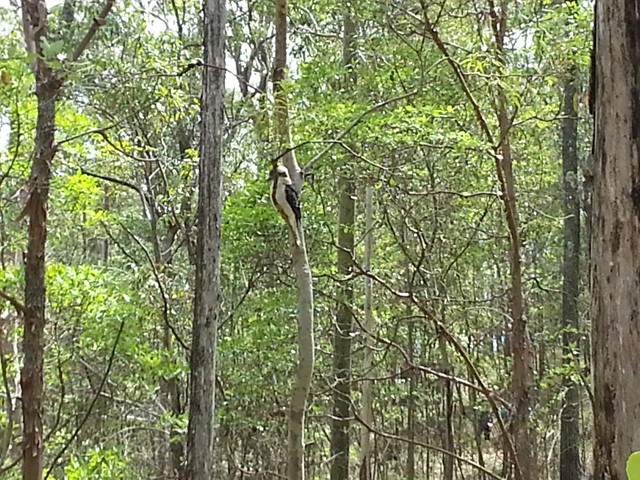
An interesting walk from near Mt Cootha summit down to Fleming Rd, the Environmental centre and back up to the start via Chapel Hill Rd Trail. You will see plenty of water dragons, butterflies and birdlife.
 4.6
km
90
mins
4.6
km
90
mins
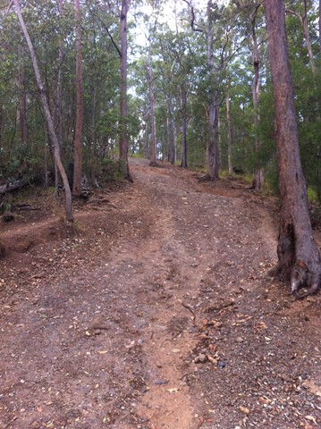
Jacksonia Trail, Bellbird Trail, and Kokoda Trail Circuit
This walk is a great workout training. A lot of people along this track are training for possibly Kokoda and carry large packs. It is very steep, you some times see mountain bikers ride up and down.
 1.2
km
return
30
mins
1.2
km
return
30
mins
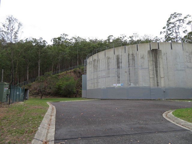
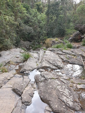
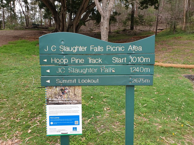
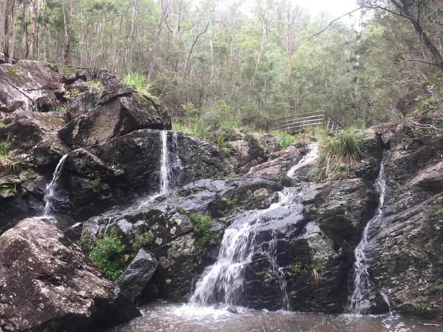
JC Slaughter Falls
The walk begins at the far end of the JC Slaughter Falls Picnic area and follows for about 600m way one. Only about 200m on the walk has a steep rocky incline but it isn't very difficult. The falls are non-existent unless there has been some rain.