
Menu
Popular Walks
-
Mt Ngungun
(1155 ticks) -
Mount Coolum
(872 ticks) -
Mt Cordeaux
(668 ticks) -
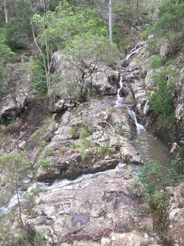
Twin Falls Circuit
(636 ticks) -
Purling Brook Falls Circuit
(611 ticks)
Summary
The Sunshine State
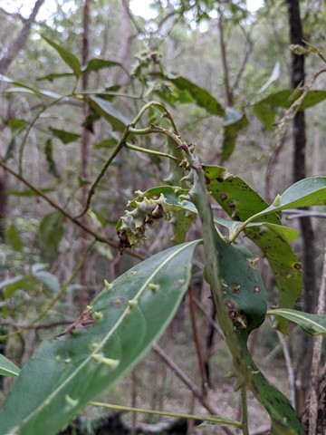
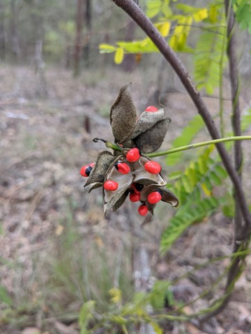
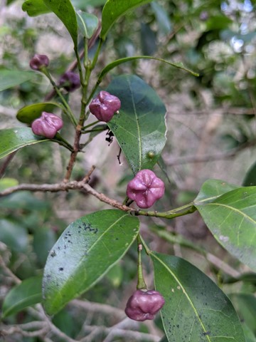
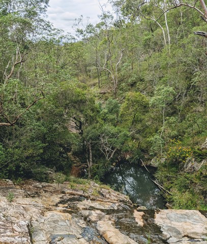
Queensland has a wealth of bushwalking opportunities including multiple World Heritage Listed rainforests such as the Daintree and Lamington National Park, great coastal and island parks like Fraser Island and Hinchinbrook Island.
Popular Walks
-
Mt Ngungun
(1155 ticks) -
Mount Coolum
(872 ticks) -
Mt Cordeaux
(668 ticks) -
Twin Falls Circuit
(636 ticks) -
Purling Brook Falls Circuit
(611 ticks)
Sub-Regions
Other Information
World Heritage Areas
- Fraser Island
- Gondwana Rainforests of Australia (Lamington NP, Springbrook NP, Mount Chinghee NP, Mount Barney NP, Main Range NP)
- Great Barrier Reef
- Riversleigh
- Wet Tropics (Daintree NP, Barron Gorge NP, Cedar Bay NP, Girringun NP, Wooroonooran NP)
Contact details
Queensland Parks and Forest:
https://parks.des.qld.gov.au/
Regions
The link below provides a region map of QLD as a reference to what council zones are included in the 7 geographic regions of QLD.
https://en.wikipedia.org/wiki/Regions_of_Queensland#/media/File:Qld-regions-map.gif
- Far North Queensland
- North Queesnland
- Central Queensland
- Mackay, Isaac and Whitsunday
- Wide Bay Burnett
- Darling Downs South West
- South East Queensland

 5.3
km
return
5.3
km
return
 1
hr
1
hr
Litchfield Track
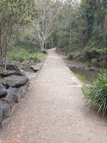
This track is 2.5km one way and is graded as moderate by Brisbane City Council and is well maintained but can have lose stones. The track winds through bushland parallel with the road and is easy to traverse. You will see a variety of Australian native plants and birds. A variety of people, at different stages of trail walking ability, use this track including trail runners.
 5.1
km
return
90
mins
5.1
km
return
90
mins
Maculata Track
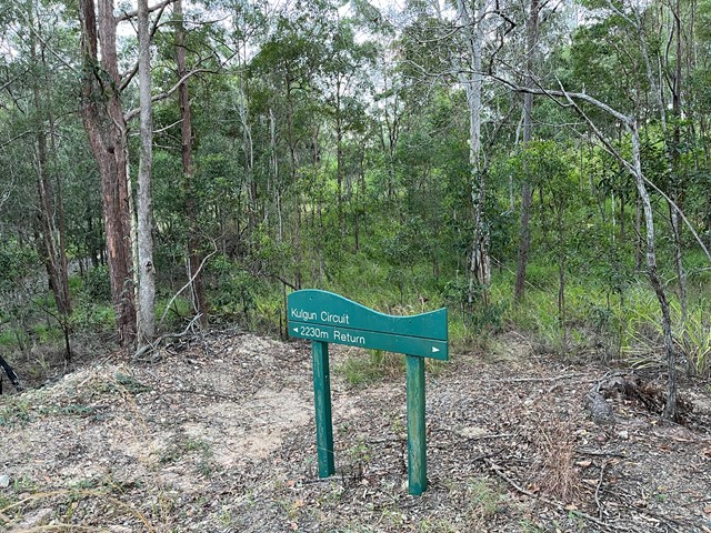
A pleasant walk to a part of Mt Cootha less travelled. It winds down to Bardon reservoir then around Kulgan Cct returning to the start by Bardon Track.
 2.6
km
one-way
40
mins
2.6
km
one-way
40
mins
Mahogany Trail
An alternate track to the Summit Trail at Mt Cootha Brisbane that is shared with bikes and horse riders
 5.3
km
return
75
mins
5.3
km
return
75
mins
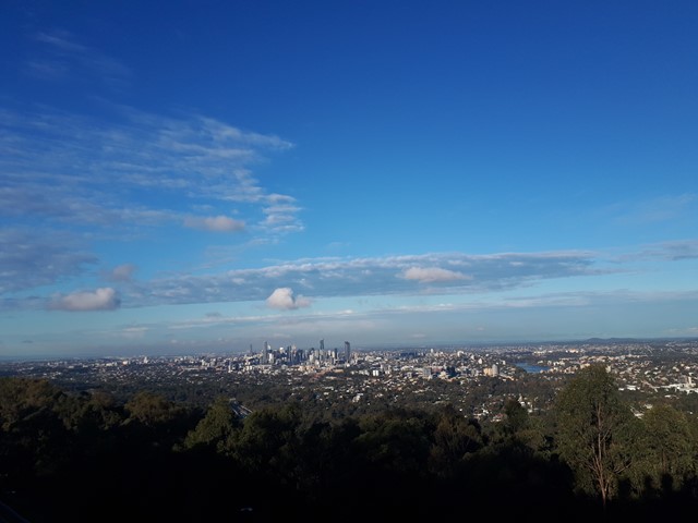
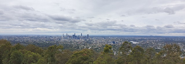
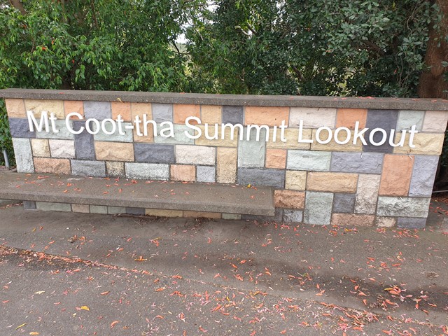
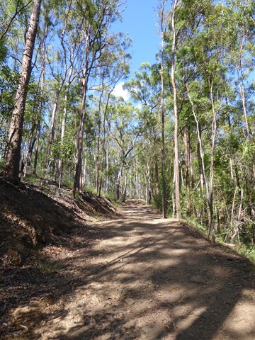
Mt. Coot-tha Summit Track
Mt Coot-tha Lookout has sweeping views of Brisbane City, Moreton Bay, and around to the Tweed Volcano, Main Range and Mount Barney and Flinders Peak. The walk to this lookout, from JC Slaughter Falls Picnic Area, is a potentially slightly testing but generally easy walk on a paved track that straddles a gully.
 5.6
km
return
90
mins
5.6
km
return
90
mins
Powerful Owl Trail
Start from either channel 9 or Silky Oaks picnic area. Well frequented wide trail.
 1.3
km
return
40
mins
1.3
km
return
40
mins
Simpson Falls Track
This track begins at Simpson Falls picnic area. It is excellent for wildflower viewing in late winter and spring when the golden wattles and purple hoveas of the open forest understorey burst into bloom. Walkers may catch a glimpse of the city from the Simpson Falls viewing deck.
 4
km
90
mins
4
km
90
mins
Simpsons Falls and Eugenia Circuit
This track begins at Simpson Falls Picnic Area. It is excellent for wildflower viewing in late winter and spring when the golden wattles and purple hoveas of the open forest understorey burst into bloom. Links with the Eugenia Circuit
 2.5
km
return
1
hr
2.5
km
return
1
hr
Themeda Track
A great starter walk for those looking to get into hiking. About 2.5kms in length.
Walks in Central Queensland
2.3
km
return
90
mins
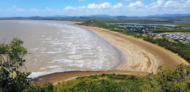
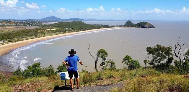
Bluff Point Walking Track
Good enjoyable walk, I'd say it a medium difficulty level for beginners. Use to run it everyday with incredible lookouts over to the islands and overall an enjoyable time.