
Menu
Popular Walks
-
Mt Ngungun
(1155 ticks) -
Mount Coolum
(872 ticks) -
Mt Cordeaux
(668 ticks) -
Twin Falls Circuit
(636 ticks) -
Purling Brook Falls Circuit
(611 ticks)
Summary
The Sunshine State
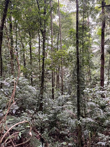
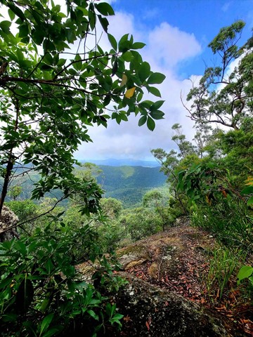
Queensland has a wealth of bushwalking opportunities including multiple World Heritage Listed rainforests such as the Daintree and Lamington National Park, great coastal and island parks like Fraser Island and Hinchinbrook Island.
Popular Walks
-
Mt Ngungun
(1155 ticks) -
Mount Coolum
(872 ticks) -
Mt Cordeaux
(668 ticks) -
Twin Falls Circuit
(636 ticks) -
Purling Brook Falls Circuit
(611 ticks)
Sub-Regions
Other Information
World Heritage Areas
- Fraser Island
- Gondwana Rainforests of Australia (Lamington NP, Springbrook NP, Mount Chinghee NP, Mount Barney NP, Main Range NP)
- Great Barrier Reef
- Riversleigh
- Wet Tropics (Daintree NP, Barron Gorge NP, Cedar Bay NP, Girringun NP, Wooroonooran NP)
Contact details
Queensland Parks and Forest:
https://parks.des.qld.gov.au/
Regions
The link below provides a region map of QLD as a reference to what council zones are included in the 7 geographic regions of QLD.
https://en.wikipedia.org/wiki/Regions_of_Queensland#/media/File:Qld-regions-map.gif
- Far North Queensland
- North Queesnland
- Central Queensland
- Mackay, Isaac and Whitsunday
- Wide Bay Burnett
- Darling Downs South West
- South East Queensland


 2
km
return
2
km
return
 1
hr
1
hr
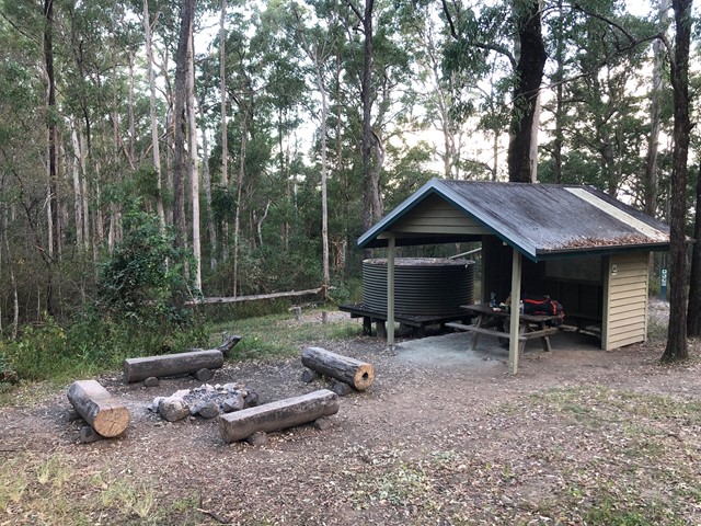
Post Office Track
Short walk between the Booroomba picnic area and the post office at Mount Nebo. A short walk with some fairly interesting features with some few steps up and down. Walk a little further and grab a coffee at the cafe.
 2
km
1
hr
2
km
1
hr
Rainforest Circuit
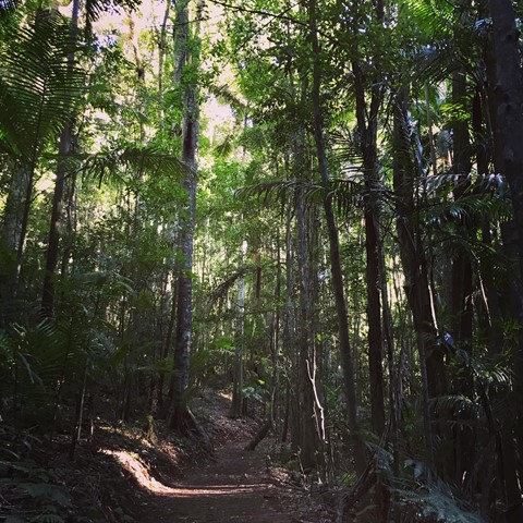
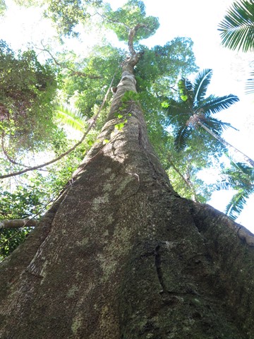
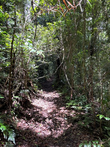
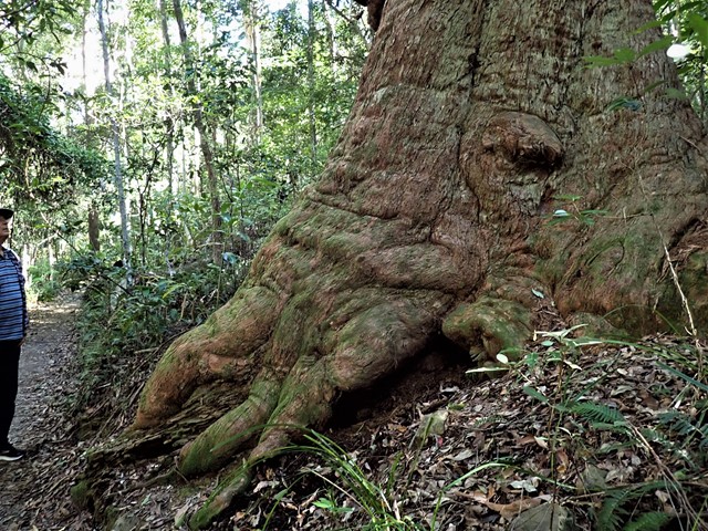
This walking track starts at Maiala day-use area and winds through stunning subtropical rainforest. Appreciate the majestic beauty of the old Sydney blue gum, a sole survivor of the eucalypt forest that was once the dominant vegetation here. This track joins Cypress Grove and a section of Greenes Falls walking tracks. Parking is available at Maiala car park. An easy walk for most fitness levels.
 600
m
return
30
mins
600
m
return
30
mins
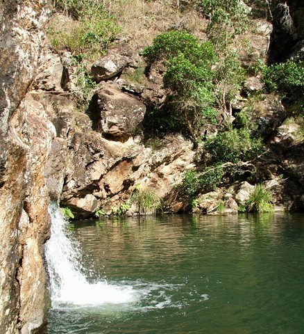
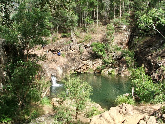
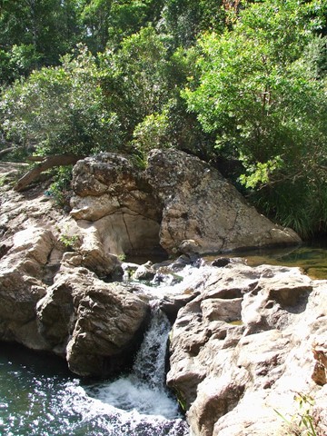
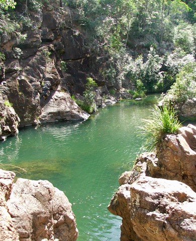
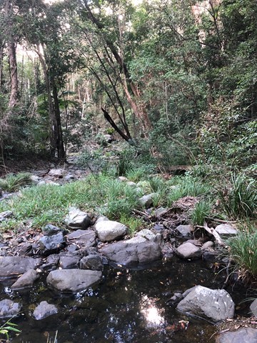
Rocky Hole
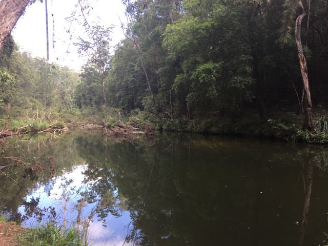
A short walk down to the crystal clear cooling waters of Rocky Hole for a very welcome swim on a hot day.
 8
km
2.5
hrs
8
km
2.5
hrs
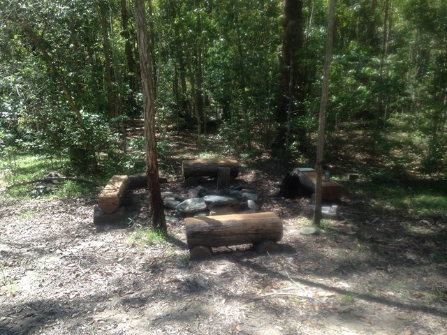
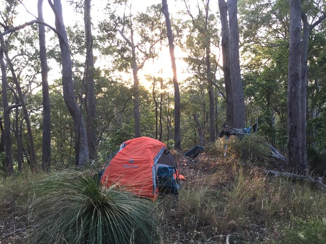
Scrub Road bush camp walk
Remote bush camping in open eucalypt woodland among magnificent spotted gums, ironbarks and grey gums.
 13
km
return
3
hrs
13
km
return
3
hrs
Somerset Trail
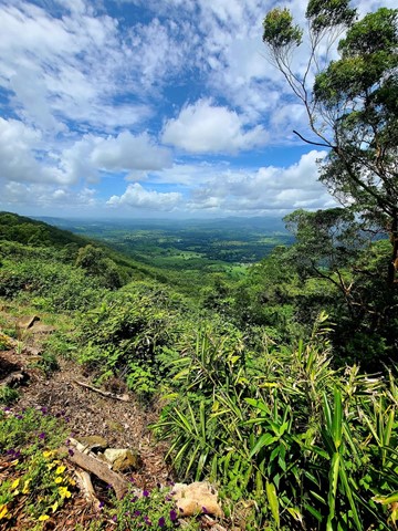
A pleasant circular walk through open and pine forest as well as pockets of rainforest. At around the halfway point, there are a series of lookouts over Somerset Dam to the north and Lake Wivenhoe to the south, with a backdrop of the far mountain ranges.
This area was heavily logged, hence the saw mill at The Gantry and evident by the 'plank' groves on some of the old tree stumps.
 10
km
6
hrs
10
km
6
hrs
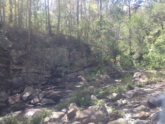
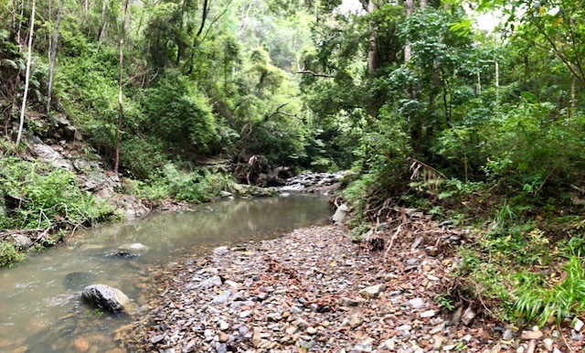
South Kobble bush camp walk
Remote bush camping in open forest beside Kobble Creek.
 300
m
return
5
mins
300
m
return
5
mins
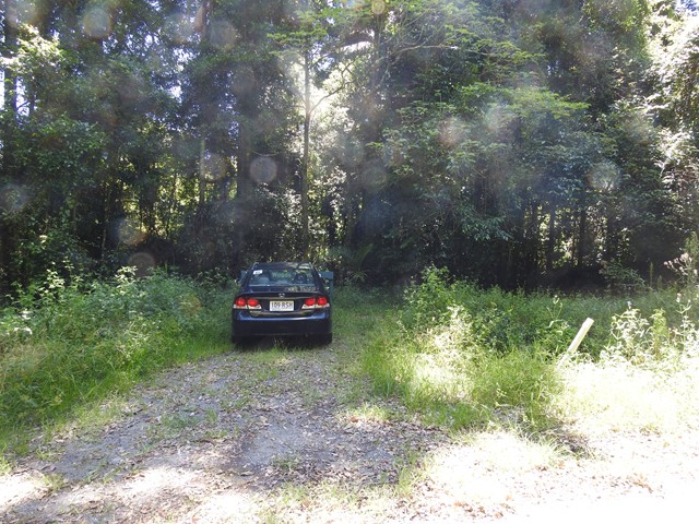
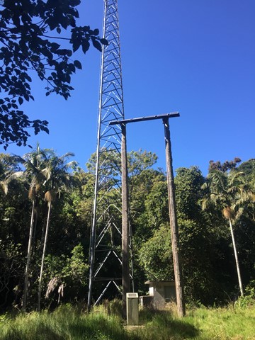
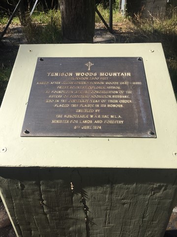
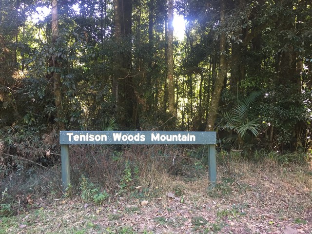
Tenison Woods Mountain
A short walk to the summit of Tenison Woods Mountain the tallest mountain in the D'Aguilar Range at 770 metres through some rain forest to the summit clearing with repeater tower.
 200
m
return
10
mins
200
m
return
10
mins
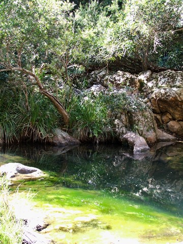
The Broadwater
Laze beneath tall, majestic gum trees at the picturesque day-use area and enjoy the company of local wildlife residents—koalas, kookaburras and lace monitors.
Take a short stroll to Neurum Creek where a forest-fringed waterhole provides a popular spot for a refreshing swim.
 9
km
return
2
hrs
9
km
return
2
hrs
Thylogale Track
Walk from Jolly's Lookout to Boombana. The walk is 4.5 kms one way, however you're better off walking back along the path, not the road. Walking along Mt Nebo Road is dangerous with all of its blind corners