
Menu
Popular Walks
-
Mt Ngungun
(1155 ticks) -
Mount Coolum
(872 ticks) -
Mt Cordeaux
(668 ticks) -
Twin Falls Circuit
(636 ticks) -
Purling Brook Falls Circuit
(611 ticks)
Summary
The Sunshine State
Queensland has a wealth of bushwalking opportunities including multiple World Heritage Listed rainforests such as the Daintree and Lamington National Park, great coastal and island parks like Fraser Island and Hinchinbrook Island.
Popular Walks
-
Mt Ngungun
(1155 ticks) -
Mount Coolum
(872 ticks) -
Mt Cordeaux
(668 ticks) -
Twin Falls Circuit
(636 ticks) -
Purling Brook Falls Circuit
(611 ticks)
Sub-Regions
Other Information
World Heritage Areas
- Fraser Island
- Gondwana Rainforests of Australia (Lamington NP, Springbrook NP, Mount Chinghee NP, Mount Barney NP, Main Range NP)
- Great Barrier Reef
- Riversleigh
- Wet Tropics (Daintree NP, Barron Gorge NP, Cedar Bay NP, Girringun NP, Wooroonooran NP)
Contact details
Queensland Parks and Forest:
https://parks.des.qld.gov.au/
Regions
The link below provides a region map of QLD as a reference to what council zones are included in the 7 geographic regions of QLD.
https://en.wikipedia.org/wiki/Regions_of_Queensland#/media/File:Qld-regions-map.gif
- Far North Queensland
- North Queesnland
- Central Queensland
- Mackay, Isaac and Whitsunday
- Wide Bay Burnett
- Darling Downs South West
- South East Queensland
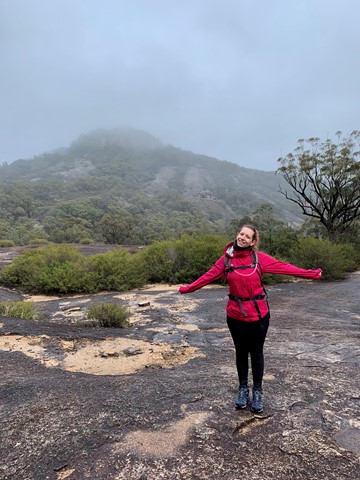
Walks in Girraween National Park
(Darling Downs South West)
 4.4
km
return
4.4
km
return
 90
mins
90
mins
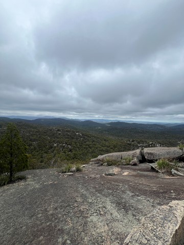
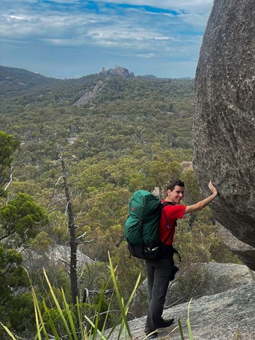
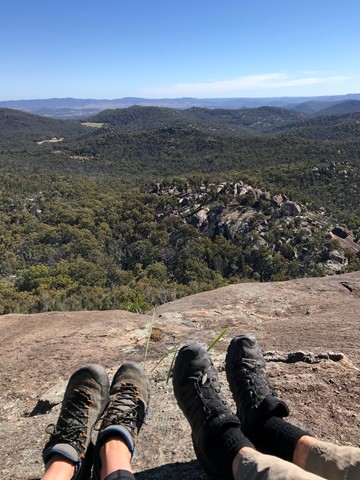
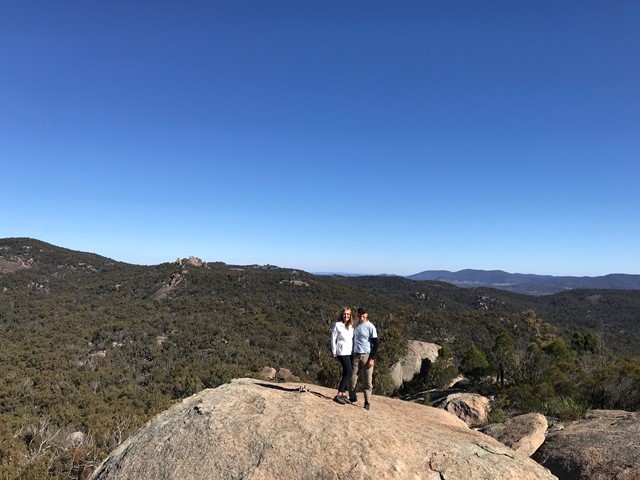
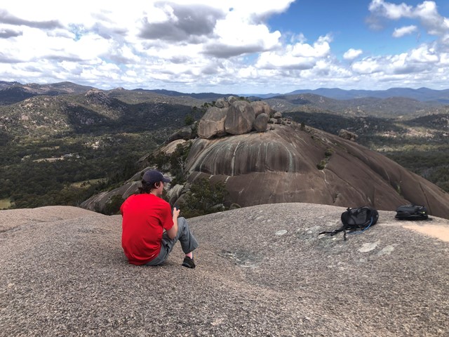
Castle Rock
Panoramic views from Castle Rock are breathtaking including The Pyramids and Mt Norman.
Officially rated Grade 4/Hard, this walk requires a moderate fitness level, some scrambling skills and confidence with heights.
 1.4
km
return
30
mins
1.4
km
return
30
mins
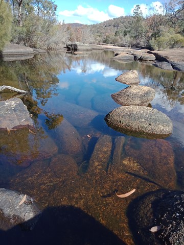
Dr Roberts Waterhole
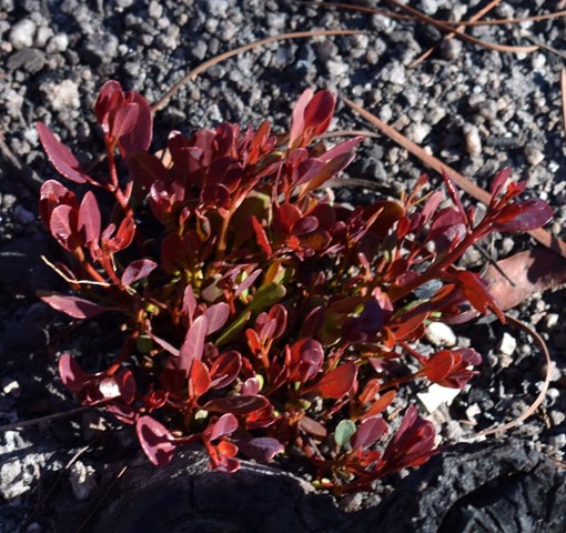
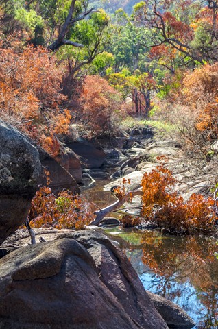
Take the gently sloping track to gaze at reflections in the still waters of Bald Rock Creek. Ground orchids, banksias, conesticks, geebungs and crinkle bushes are prominent in spring, as are the many colourful bird species living among them.
 40
km
return
3
days
40
km
return
3
days
Eastern Peaks Circuit Girraween
A multi day hike (3 days comfortably but could be done in 2) that visits all major east peaks in Girraween. Wonderful scenery, wildflowers and wildlife.
 46
km
2
days
46
km
2
days
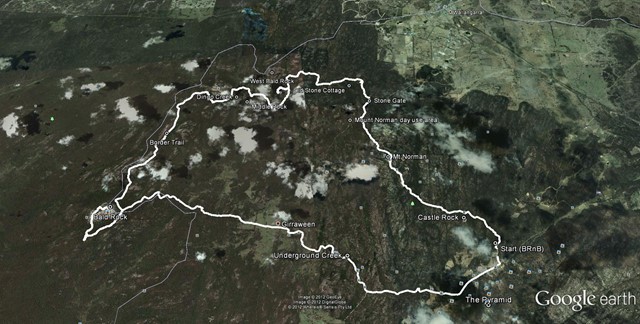
Girraween to Bald Rock Circuit
The route we took was a mix of bush tracks; fire trails and off track. There were quite a number of opportunities to replenish your water supply either at the Nat Park's camp grounds and creeks.
 1.7
km
return
30
mins
1.7
km
return
30
mins
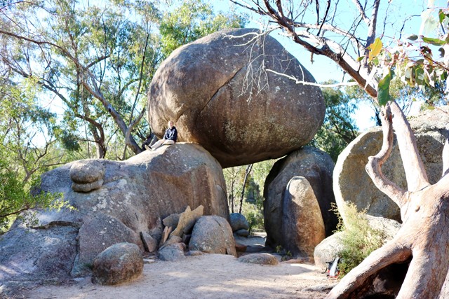
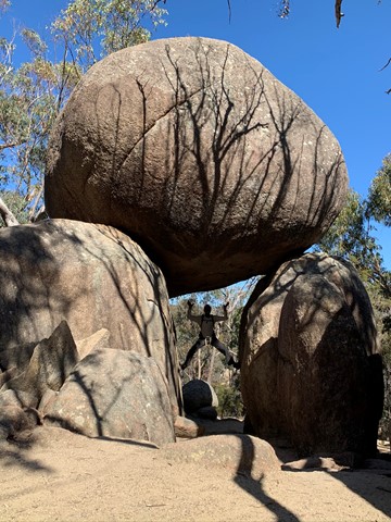
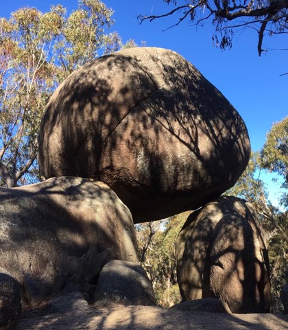
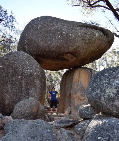
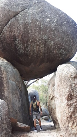
Granite Arch
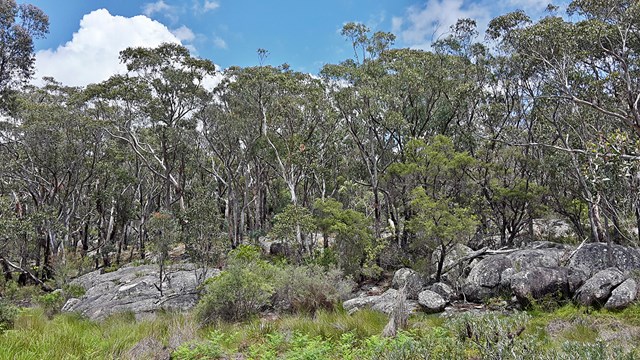
If time is limited, or if you prefer an easy stroll, this circuit track is ideal. Cross bald Rock Creek and wind through blackbutt and stringybark forest to Girraween's very own natural stone archway.
 10.4
km
return
4
hrs
10.4
km
return
4
hrs
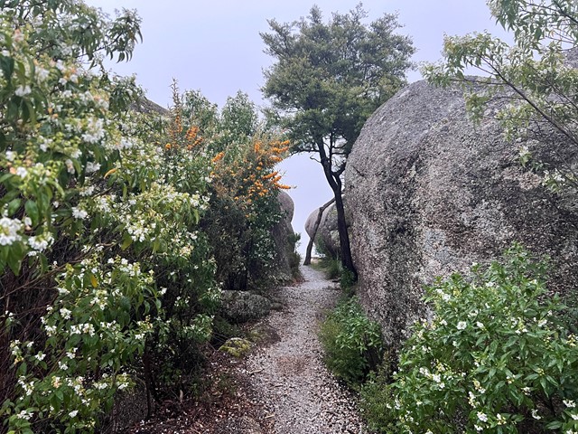
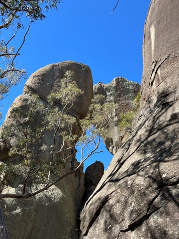
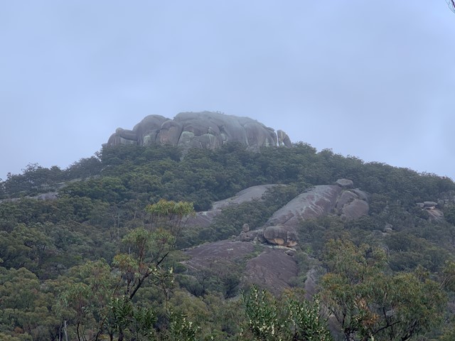
Mt Norman
The highest point in Girraween - Mt Norman provides some great views of the park and also visits the Eye of the Needle.
 17
km
return
4
hrs
17
km
return
4
hrs
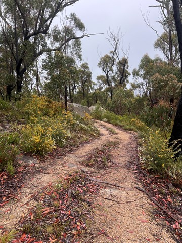
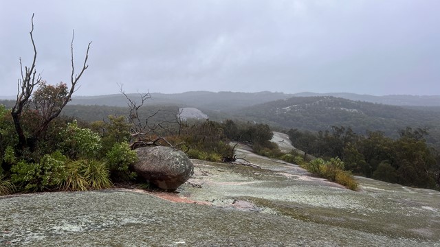
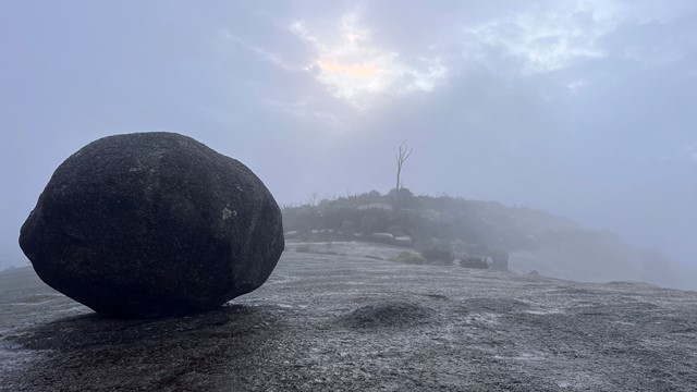
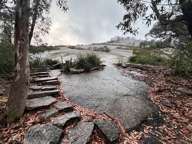
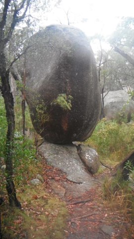
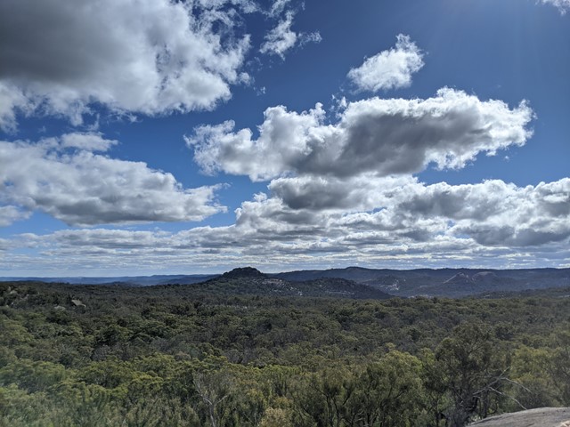
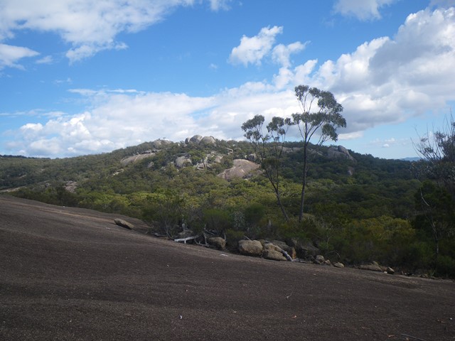
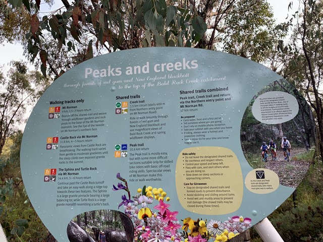
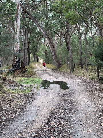
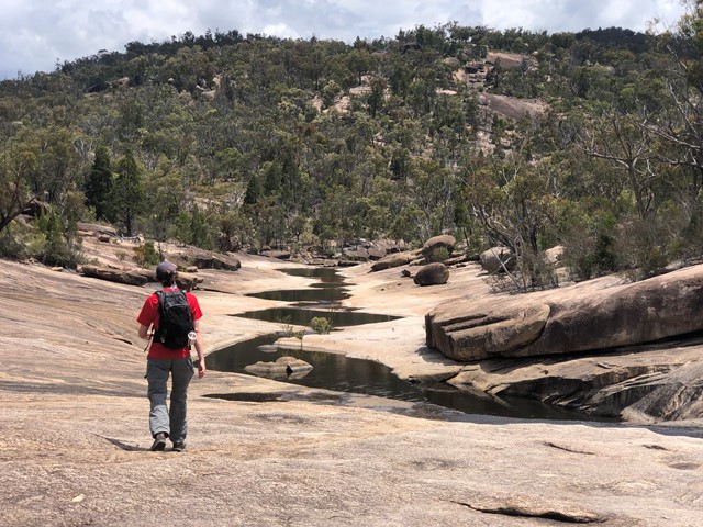
Peak and Creek Trails
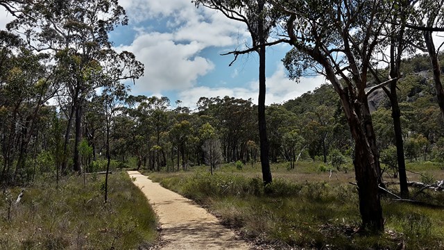
Today we drove the Mt Norman day use area on mt Norman road and set off on the Peak trail. A non strenuous walk with a lovely view of Mt Norman. Until we got to the end of Peak trail where there is a junction to join creek trail. We chose to take the left fork after a few hundred meters we came to a pretty rock clearing with lovely water path ways across it. It has been raining a fair bit and was drizzling at the time. Finding the exit from this rocky outcrop was really hard there were no visible markers and after much hunting we found a trodden path and followed it. After about 1 km we found ourselves at underground creek which we had been to the day before so thankfully knew where we were, as underground creek has no signage at it. These two paths are not even meant to meet up, clearly the well trodden path we had taken is one many others have found themselves confused by and ended up at. We carried on to the dr Roberts day use area and trekked back along Pyramids road and back onto mt Norman road to the northern day use area and set ourselves back on course of the creek track. To be honest after the lovely view of mt Norman there’s isn’t really much else going for the hike. It’s quite a monotonous hike, but if you want to mountain bike it it would be an awesome challenge. The great thing for us was we didn’t see anyone else at all.
 4.8
km
return
2.5
hrs
4.8
km
return
2.5
hrs
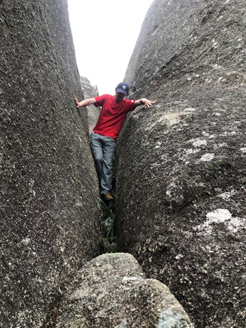
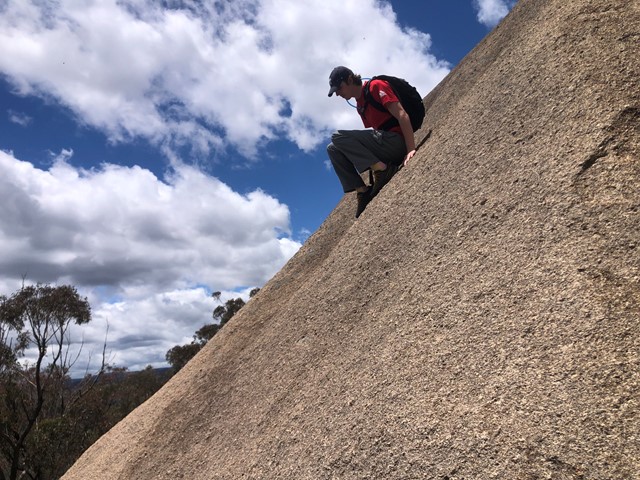
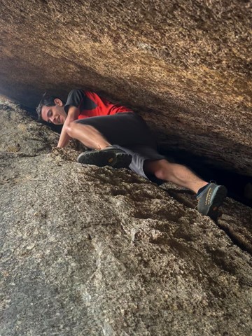
Second Pyramid
THIS IS AN OFF TRACK WALK. Long way round + 1.4km. Short way round and up +0.9km. Very good scrambling skills or medium rock climbing skills required. As always do not attempt to climb just before, during or just after rain as the rock face can be extremely slippery.
 8
km
one-way
2
hrs
8
km
one-way
2
hrs
South Bald Rock RBC via the Stone Cottage
Approximately 8km walk from the stone gate, and then via the old stone cottage to South Bald Rock remote bush camp (yes, there's a "camp"). This walk takes you East along some lovely grassy flat land and around a few rocky outcrops before travelling clockwise around the Northern edge of West Bald Rock, then South, counter-clockwise around Middle Bald Rock, before finally descending into a semi-swampy valley on the Western edge of South Bald Rock. Around the rocky areas there's some ups and downs but easily achievable for someone of moderate fitness and ability. There's a lone "no fires" sign installed indicating the general camp area. Pick your camp site well, as with just a reasonable shower of rain the water only goes downhill. Wouldn't recommend this location during heavy storms or heavy rains, as rising creeks could be hard to predict for beginners.
5.6
km
return
90
mins
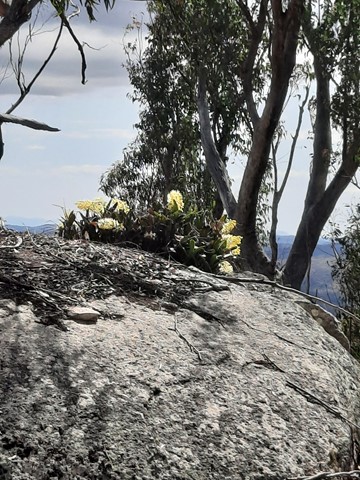
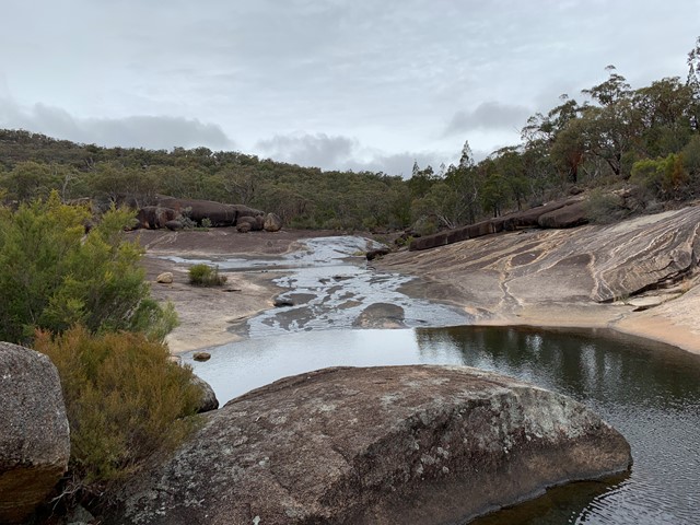
The Junction
Enjoy an easy walk along the northern bank of Bald Rock Creek downstream to its junction with Ramsay Creek. In dry seasons, these creeks may not run.
A must for wildflower lovers, this track is scattered in spring with superb wildflower displays. Flowering shrubs fringing the creek provide nectar for honeyeaters and parrots. Superb fairy-wrens, red-browed firetails and thornbills move through creek bank thickets seeking insects.