
Eastern Peaks Circuit Girraween
Girraween National Park


Menu

A multi day hike (3 days comfortably but could be done in 2) that visits all major east peaks in Girraween. Wonderful scenery, wildflowers and wildlife.

Getting there
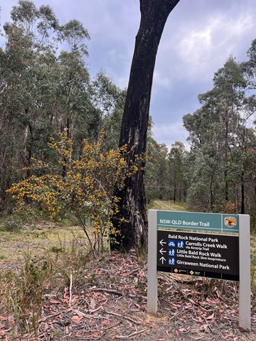
The Eastern Peaks Circuit commences at the Mt Norman day use area. To get here, head to Wallangarra (approx 260km south-west of Brisbane) then turn left onto Margetts Street, then left onto Rockwell Street, cross over the railway bridge then follow to Mt Norman Road. This will lead you onto gravel road for a km or so, pass through a gate then continue into the day use area.
Maps
https://parks.des.qld.gov.au/__data/assets/pdf_file/0026/155834/girraween-map.pdf
Route/Trail notes
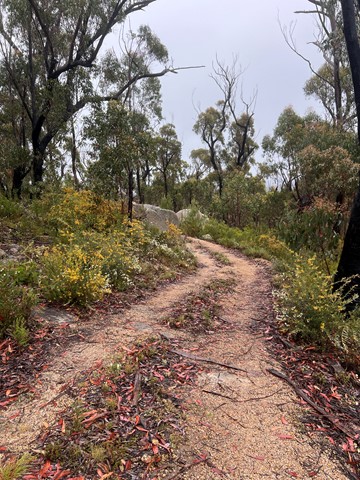
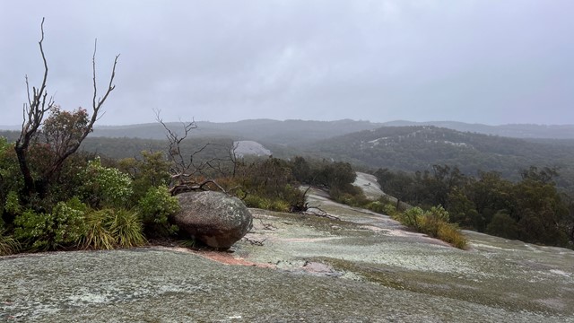
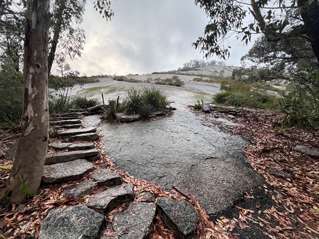
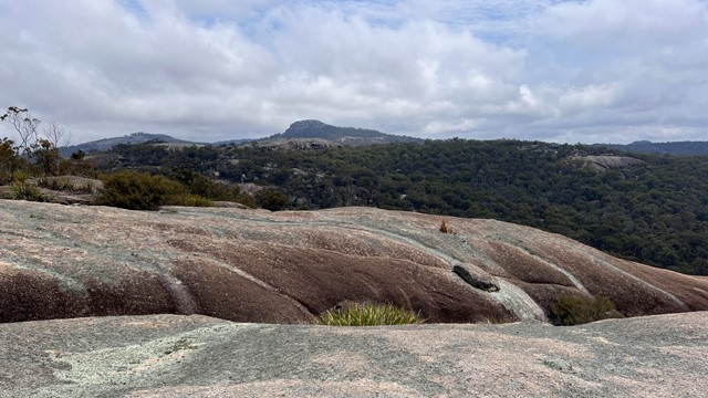
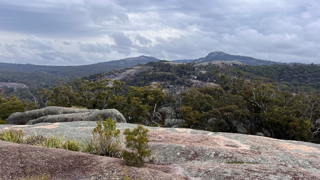
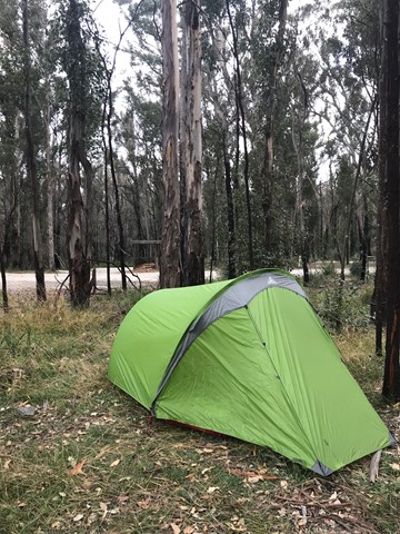
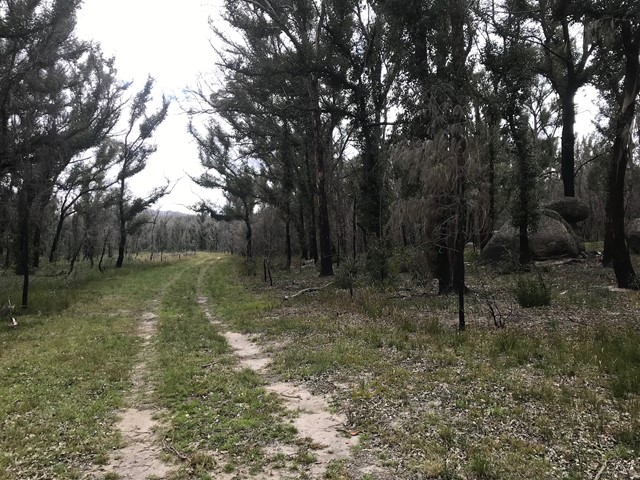
This was a dry and hot walk. Minimal water in the creeks so it's best to go prepared and take your own. Start at Mt Norman day use area and walk to Twin Peaks, then onto Billy Goat Hill then camp the night at Bald Rock Camping area (approx 15km). This is a great area to spend at least a night - large sites each with a picnic table and chairs. The area has two toilets and a shelter with an electric bbq, table and chairs. From here, the Bald Rock summit is approximately 3km return.
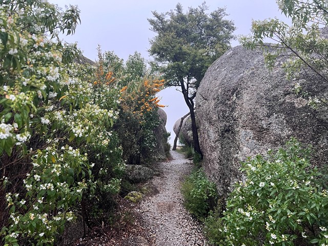
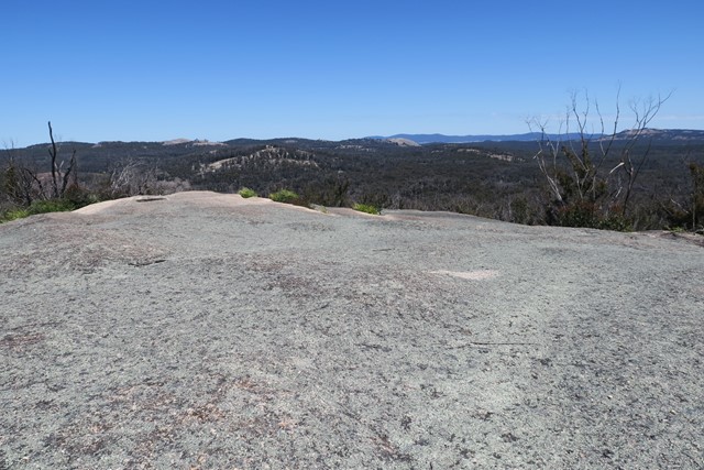
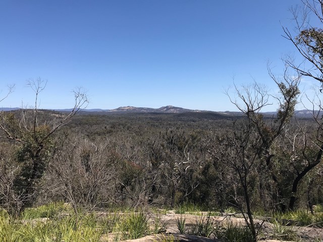
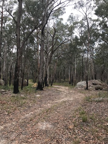
The following day, leave Bald Rock camping area and walk to Little Bald Rock for an easy hike to the summit (approx 250m). Then onto South Bald Rock where if you're lucky, you can find the South Bald Rock bush camp (no facilities) - approx walking distance 14km.
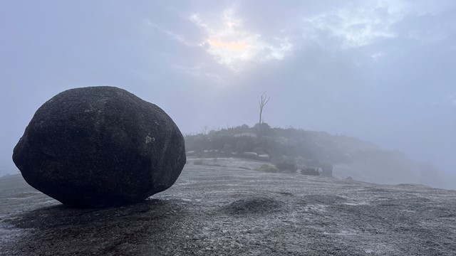
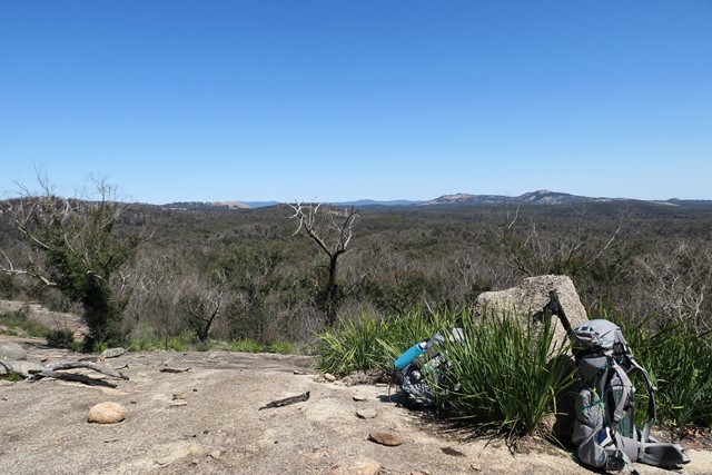
The following day, leave South Bald Rock bush camp and walk to West Bald Rock then return to Mt Norman day use area via the Old Stone Cottage and the Stone gate on Mt Norman Road. Walking distance on day 3 approx 9km.
Permits/Costs
Camping fees only.
Other References
Refer to 'Take a Walk' by John & Lyn Daly as well as:
GPS Tracks
- No GPS available for this walk yet.
 40
40 3
3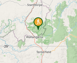
Comments