
Menu

 40
km
one-way
40
km
one-way
 3
days
3
days
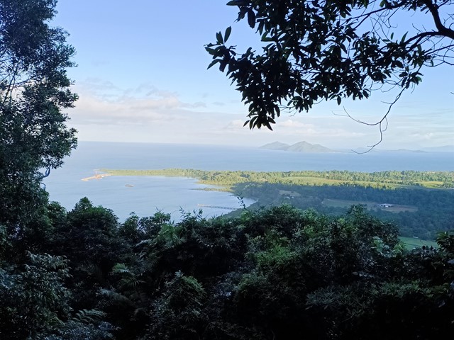
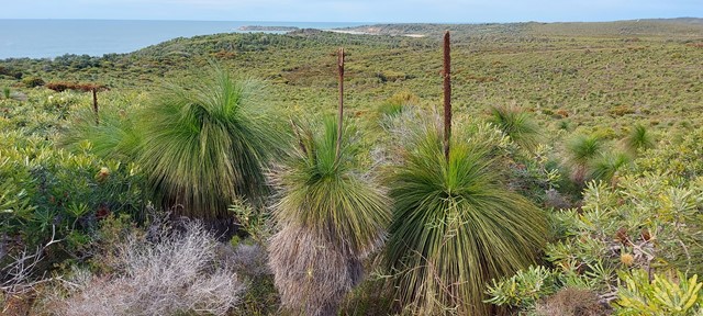
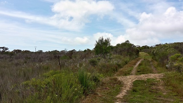
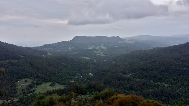
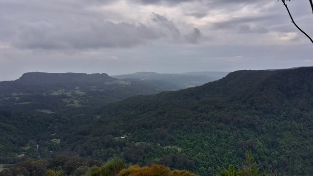
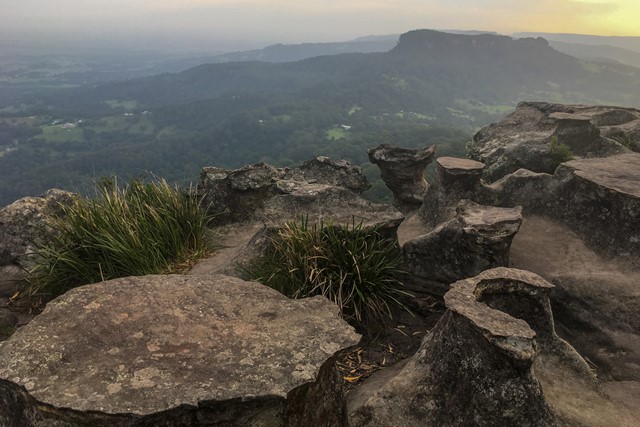
Numinbah Gap to Christmas Creek
A challenging 2-day or 3-day hike along the QLD/NSW border.
2-day option: camp at Echo Point
3-day option: camp at Bithongabel and Point Lookout
A good challenge for experienced walkers with good experience and navigation skills. Points of interest along the way include Bushranger's Cave, Mt Wagawn, Mt Hobwee, Dacelo Lookout, Merino Lookout, Bithongabel Lookout, Echo Point Lookout, Point Lookout, and the Stinson Crash.
This walk can be done in either direction. In any case, you will either have to do a car shuffle or very nicely ask friends or family to do a drop-off and pick-up.
Make sure that you take a PLB and proper emergency provisions (first aid kit, shelter, wet weather gear, warm clothes, extra food rations etc.).
 6
km
return
2
hrs
6
km
return
2
hrs
Musgravea Track
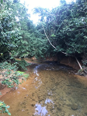
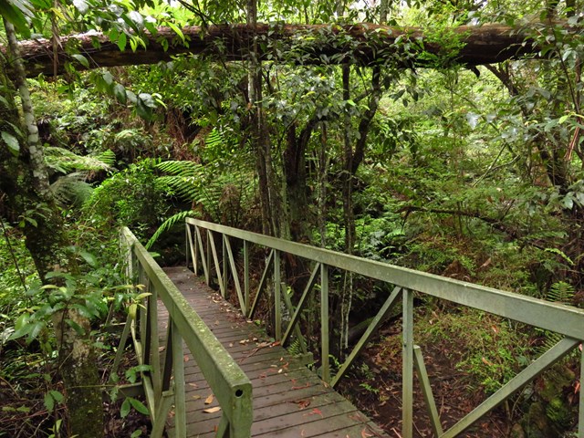
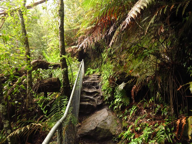
This track is a multi-use track for walkers and mountain-bike riders. It is the only track in Djiru National Park where bicycles are permitted.
This mainly flat track is suitable for dry weather access and requires a medium level of fitness. It follows an old forestry road used in the 1960s and 1970s to haul timber from South Mission Beach to the El Arish timber mill. The track heads north from the car park at the Licuala day-use area and exits on to the El Arish–Mission Beach road about 2 km east of the Lacey Creek day-use area. For safety reasons, the old vehicle bridges have been removed and detours to the two creek crossings have been marked for walkers and cyclists. Bicycles will have to be carried down several steps, through the creek and up several steps at each creek crossing. Creeks in this area are subject to flash flooding and caution should be exercised.
 32
km
one-way
4
days
32
km
one-way
4
days
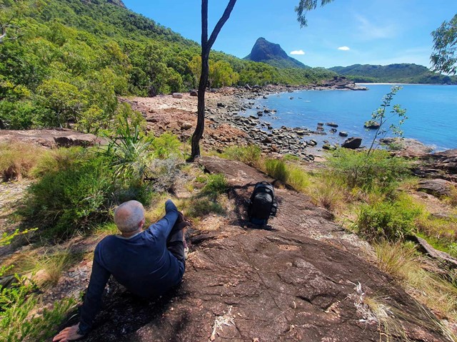
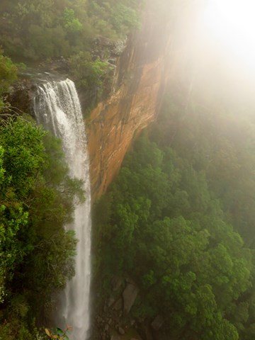
Thorsborne Trail, Hinchinbrook Island
Simply Incredible!
The walk (32KM) takes you from Lucinda by boat, taking a magical ride around the western side of the island to the north and then meandering through the river systems to your arrival point.
The journey starts with a walk along the beach, taking in the beautiful colours of the Coral Sea, before you enter the rainforest of the Island. You will traverse an array of different conditions, gradients, difficulties and various stunning scenery. There are bays, rocky outcrops, fresh water pools and amazing waterfalls. The trip take 3-5 day to complete. This hike has everything for everyone. Take your time, breath it in and feel a part of the World Heritage Listed Island/Walk. There is a maximum of 40 people on the walk at any given time, so book ahead with NPWS to secure your time/ days for the month you wish to walk.
 7
km
2
hrs
7
km
2
hrs
Mt Kootaloo
This track branches off from the Island walk - so both can be done together if you dont mind the backtrack. Can be steep in some sections
 3.9
km
return
3.9
km
return
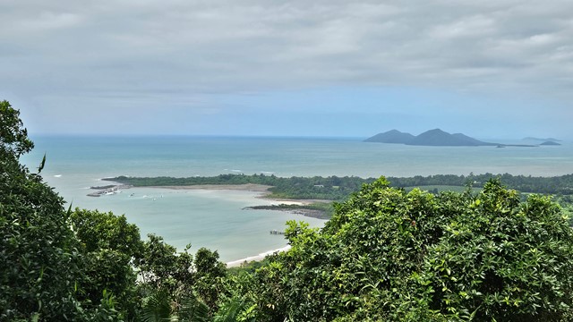
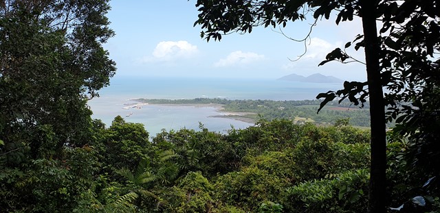
Bicton Hill Circuit
A rainforest circuit leading to the summit of Bicton Hill in Clump Mountain National Park near Mission Beach, North Queensland. A series of lookout points along the circuit provide views of Bingil Bay, Mission Beach and surrounds, and the Family Islands.
 15
km
return
4
hrs
15
km
return
4
hrs
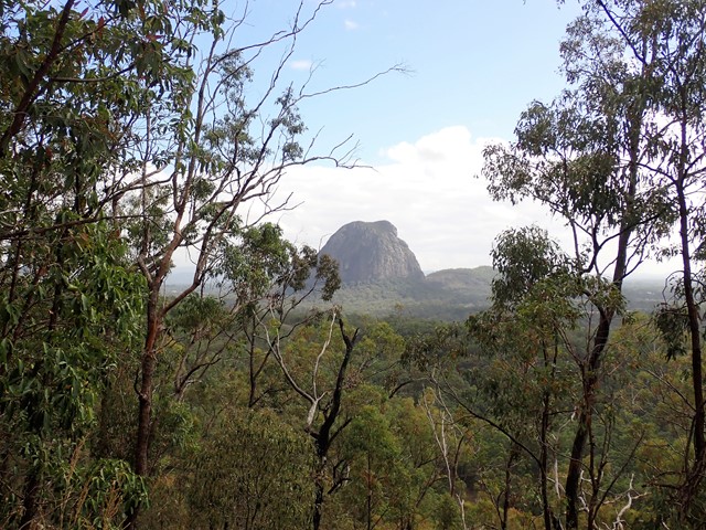
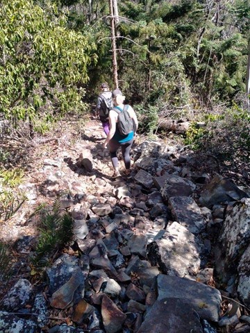
Yul-yan-man, Tibrogargan, Trachyte Circuit
Simply a stitched together circuit of three existing tracks that together, provide a lot of good views, a good variety of landscape and plants and lots of birdsong and flowers. The Yul-yan-man part includes some rock scrambling, the other two parts are mostly flat and easy.
 5.5
km
return
2
hrs
5.5
km
return
2
hrs
Mount Perry Summit Walk
Mt Perry. The walk up to the tree line is the hardest part. About 1km , constantly going up, in the sun and warmth of the morning really takes it out of you. The track through the trees and up to the peak is quite a good one and anyone who enjoys a good bush walk should have no problem reaching the peak. Once there the views are fantastic.
 2
km
return
1
hr
2
km
return
1
hr
Joggly Point
A lovely easy walk in the Dirawong Reserve (Dirawong is the aborigine word for goanna) for all the family along the sandy pathways and through the low coastal scrub to great views from the headland.
 90
mins
90
mins
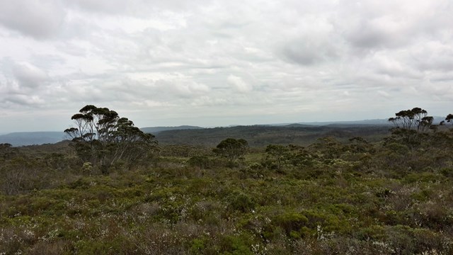
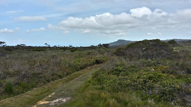
Western Circuit
A fairly easy but very picturesque walk. Lots of wildlife, beautiful wildflowers and eucalypts.
1
km
return
1
hr
Illawarra Lookout
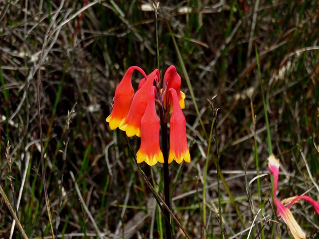
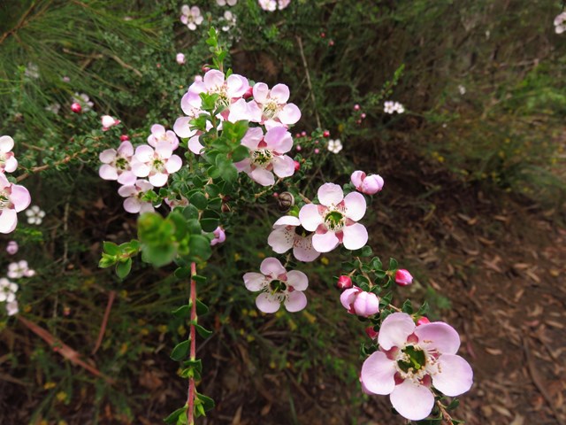
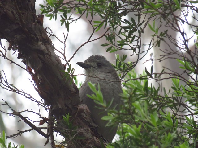
Don’t have much time, but want to discover the wonders of this fragile environment? A walk to Illawarra lookout is a must, with spectacular views, colourful spring wildflowers and amazing birdlife.
Starting from Barren Grounds picnic area, this short trail moves along an undulating path through woodland and heath. Before you know it, you’ll arrive at Illawarra lookout, perched on the edge of the escarpment looking down across the hinterland, rolling green hills, and the stunning coastline.
Breathe in the fresh air, take in the spectacular views, then wander back to the picnic area for a relaxing lunch and a hot cuppa.
Along the way, you might spot an echidna waddling across the track, and you’re bound to see an abundance of birdlife. You'll be walking through the prime habitat of ground parrots and eastern bristlebirds, so keep an eye out for these threatened birds.
 5
km
return
2.5
hrs
5
km
return
2.5
hrs
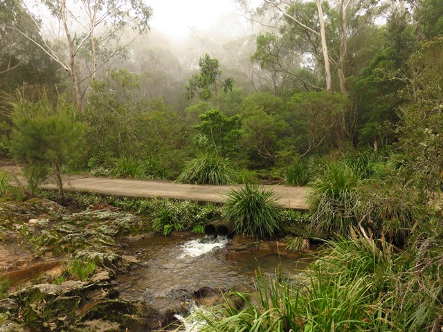
Flying Fox Pass
It is the site of a former flying fox cablecar which lifted valuable timber from the valley to be transported by road and rail systems.
 8
km
return
4
hrs
8
km
return
4
hrs
Griffiths Loop
Escape from the city and get back to nature on Griffiths walking track, offering outstanding views, great bushwalking and amazing birdwatching opportunities.
 19
km
return
6
hrs
19
km
return
6
hrs
Kangaroo Ridge
This walk takes you through heath land with a large variety of flora and fauna. The end has a spectacular view. Only if you sneak through the bushes. A safe seat to sit on would have been great.
 8
km
return
3
hrs
8
km
return
3
hrs
Cooks Nose
Stroll through the park's rich heathlands on Cooks Nose walking track and you’ll be rewarded with striking scenic views from the escarpment overlooking Kangaroo Valley.
 2.8
km
return
90
mins
2.8
km
return
90
mins
Drawing Room Rocks
Drawing Room Rocks is a natural rock feature near Berry on the edge of the Illawarra escarpment, offering extensive views over Kangaroo Valley and Berry. A relatively short walk that rewards with amazing views!
 750
m
return
30
mins
750
m
return
30
mins
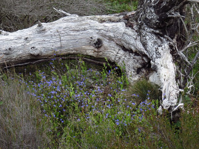
Lovers Walk
Connecting Echo Point picnic area with Bonnie View, this easy walking track offers a quiet 750m stroll through open forest, with scenic views as a reward at either end. Beginning behind the Echo Point picnic shelter, the track blooms in spring with beautiful wildflowers like yellow banksia and purple geebungs. It also offers a terrific place for native birdwatching at any time of year – gang gang cockatoos are particularly beautiful.
7
km
return
2.5
hrs
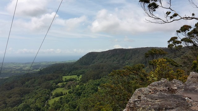
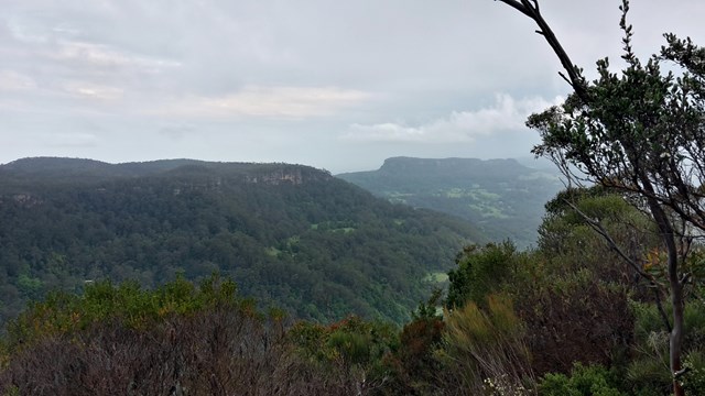
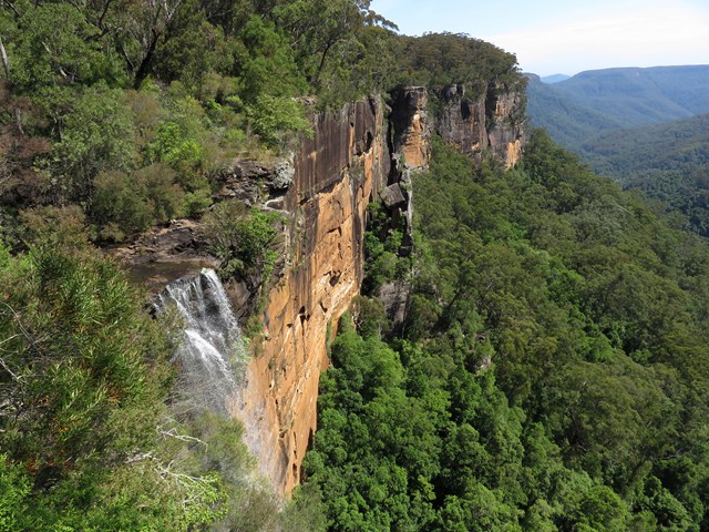
East Rim Track (Full)
Running from Fitzroy Falls Visitor Centre to Warrawong lookout in the northern section of the park, this self-guided wildflower walk is a nature-lover’s dream. (You can also combine this trac with the West Rim track to make a longer walk - the East Rim track is the less busy/popular option, and not as spectacular as the West Rim Track).
Offering a delightful excursion through diverse native plants and trees, the East Rim Wildflower walking track is both scenic and informative. Spot the colourful flowers as you roam the track past a cornucopia of plant communities including dry eucalypt forests, grassy woodlands, heathlands and rainforest areas just bursting with birds. You’ll encounter spectacular lookouts with views over the valley as you go, along with helpful signs pointing out interesting flowers, useful hints and details on changing environment.
 3.5
km
return
90
mins
3.5
km
return
90
mins
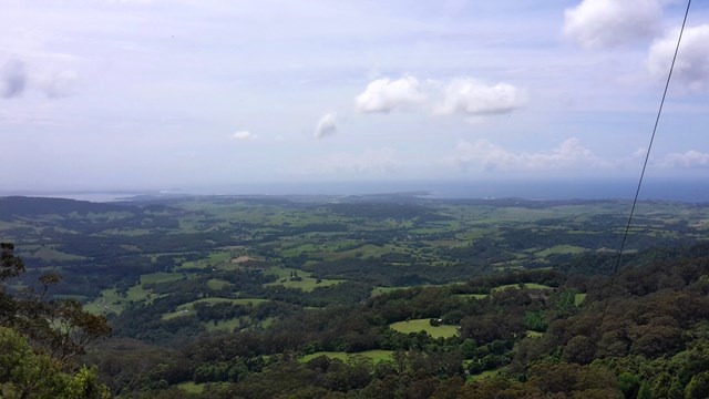
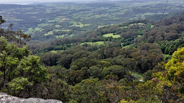
West Rim Track
For a delightful walk through pristine eucalypt forests and lush rainforest, the easy/moderate West Rim walking track offers spectacular views of dramatic gorges and waterfalls in Morton National Park, near Robertson. The nearby Fitzroy Falls Visitor Centre offers loads of information on the local highlights, as well as delicious meals, making this walk ideal for family outings and a highlight of a car tour of the Southern Highlands. (You can also combine the East and West Rim trails for a longer walk - the West Rim track is much more scenic - and much more popular. On a public holiday it gets busy!)
Following this gently undulating track, you’ll trace the western edge of the horseshoe shaped escarpment leading to Renown lookout. With lookouts along the way, there’s plenty of opportunity to stop and enjoy the sweeping views of deep river valleys and waterfalls.
Enjoy the lush ferns and towering forest canopy of coachwood, bloodwood and lilly pilly. Look for the flowering boronia as well as the purple flowering chocolate lilies, with their distinctive scent, in the spring.
 2
km
return
40
mins
2
km
return
40
mins
Riverview Walk
A pretty walk across Fern Tree Gully through eucalypt forest to Riverview Lookout.
600
m
return
15
mins
Fern Glen Track
This short walk leads to a moist, rocky haven – home to some gigantic king ferns and other moisture-loving plants.