
Mt Hassell
Stirling Range National Park


Menu
A short yet steep walk that ascends 430 meters in just 1.5kms and provides excellent views of the neighboring Mt Toolbrunup.

Getting there
When coming from Chester Pass Rd, turn onto Stirling Range Drive and look out for a small carpark with signs for Mt Hassell on your left.
Route/Trail notes
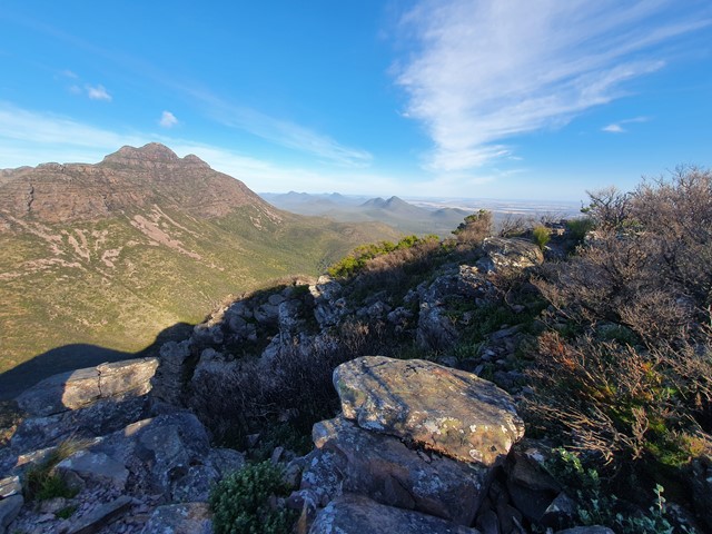
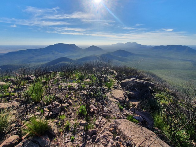
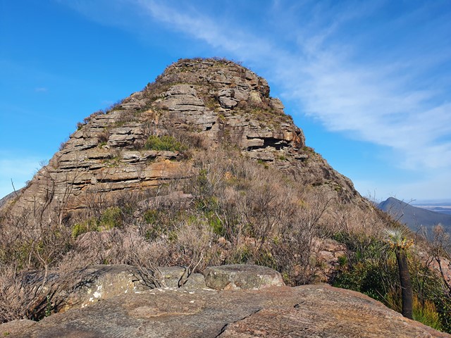
From the carpark you very quickly start covering vertical distance along a steep well marked trail that zigzags up the mountain. Be prepared to make it to a few false summits along the way before you actually make it to the top. You will know you are close when you get to the final scrambling section. Take care on this part, though not insanely difficult there are loose rocks and slippery surfaces. The view from the summit has an excellent vantage point of Mt Toolbrunup which towers above it. There are also great views of the rest of the Stirling Ranges as well.
Permits/Costs
$15 per car per day
Other References
https://trailswa.com.au/trails/mt-hassell/print
GPS Tracks
- No GPS available for this walk yet.
 3
3 2.5
2.5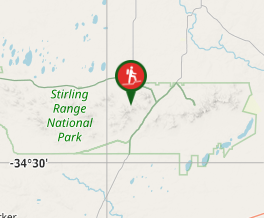
Comments