
Menu
Popular Walks
-
Bluff Knoll Summit
(10 ticks) -
Mt Trio
(2 ticks) -
Mt Toolbrunup
(2 ticks) -
Talyuberlup Peak
(2 ticks) -
Mt Magog
(1 tick)
Parent Regions
Summary
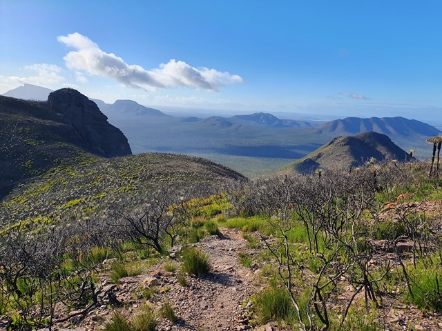
Mountain landscape
Popular Walks
-
Bluff Knoll Summit
(10 ticks) -
Mt Trio
(2 ticks) -
Mt Toolbrunup
(2 ticks) -
Talyuberlup Peak
(2 ticks) -
Mt Magog
(1 tick)
Parent Regions
History
Any interesting history for the region?
Features
What are the standout bushwalking features?
Access
How do you get there? Include all access points if there are many?
Maps
Which maps cover the region?
Accommodation
Where can I stay there? or near there?
Camping
Other
Contact details
https://parks.dpaw.wa.gov.au/park/stirling-range
Walks in Stirling Range National Park

 6
km
return
6
km
return
 3
hrs
3
hrs
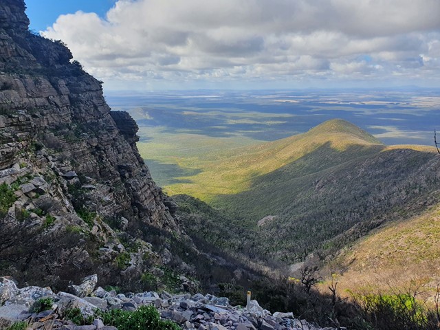
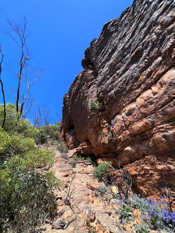
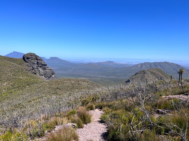
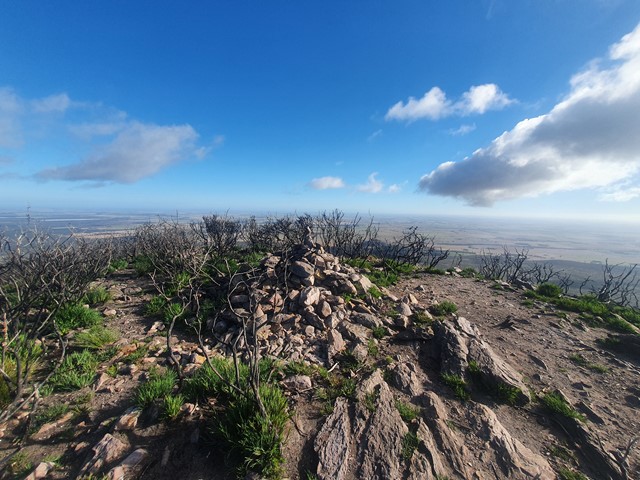
Bluff Knoll Summit
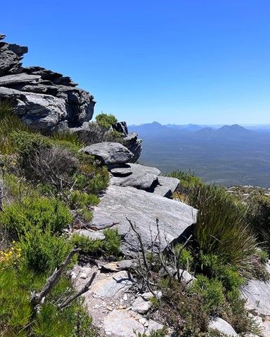
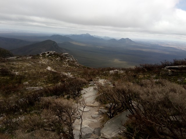
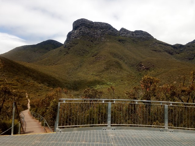
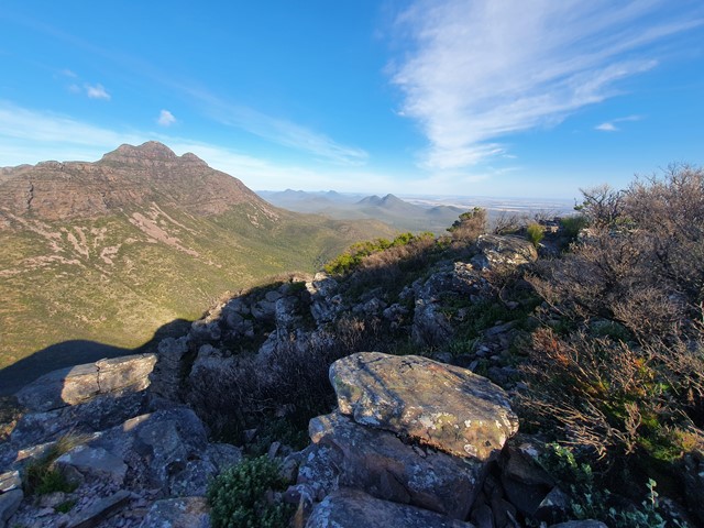
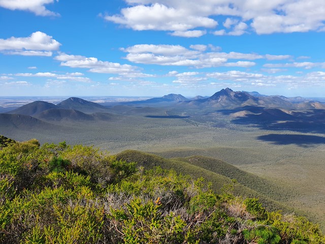
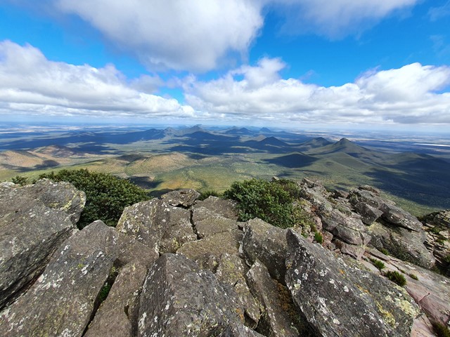
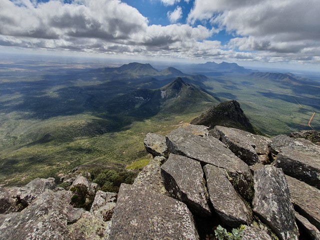
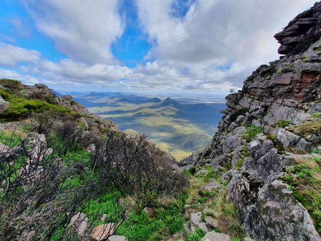
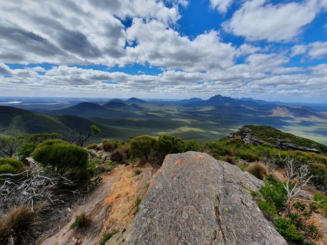
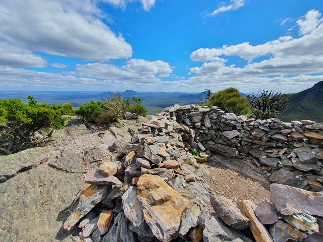
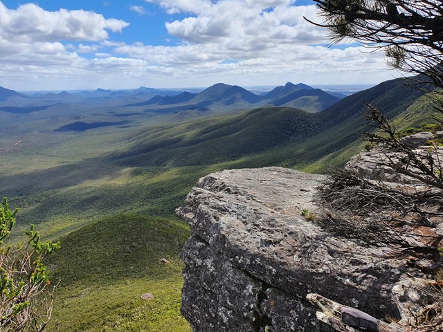
The third highest peak in Western Australia and the highest in the Stirling Ranges located 4.5hrs South East of Perth. The range is very prominent rising high above the predominately flat terrain. The walk itself is very well marked and attracts a lot of tourists of varying ages and fitness levels. Most people of reasonable fitness can climb it in under 2hrs with lots of time to rest and enjoy the view. At the top you are greeted with a panoramic view of the National Park, Stirling Ranges and beyond.
 3
km
return
2.5
hrs
3
km
return
2.5
hrs
Mt Hassell
A short yet steep walk that ascends 430 meters in just 1.5kms and provides excellent views of the neighboring Mt Toolbrunup.
 7
km
return
3
hrs
7
km
return
3
hrs
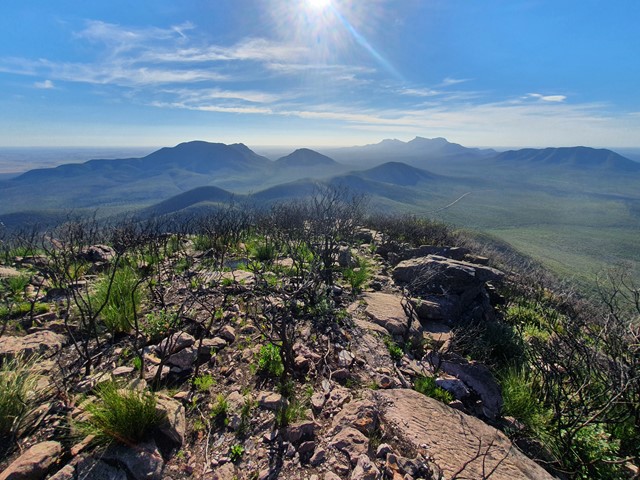
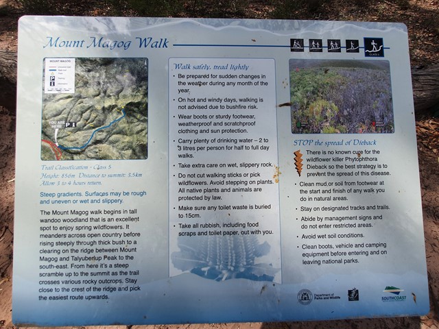
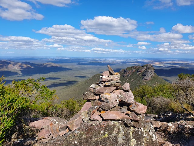
Mt Magog
One of the lesser climbed peaks of the Stirling Range, Mt Magog features a long undulating walk to the base of the mountain then a steep walk/scramble to the top to get excellent views over the surrounding area and the neighboring Talyuberlup Peak.
 4
km
return
3
hrs
4
km
return
3
hrs
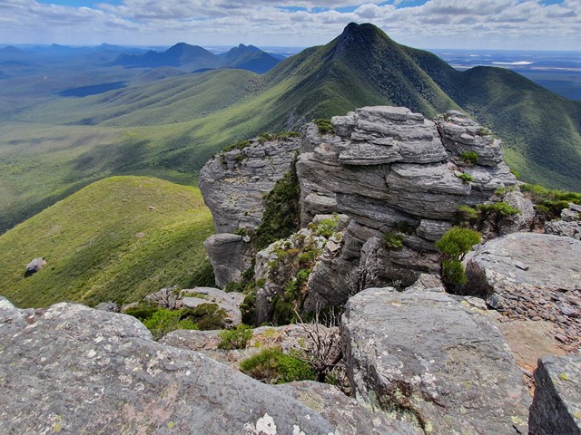
Mt Toolbrunup
A steep walk/scramble up to the peak of the 2nd highest mountain in the Stirling Range.
 3.5
km
return
2.5
hrs
3.5
km
return
2.5
hrs
Mt Trio
The 2nd easiest of the Stirling Range Mountains after Bluff Knoll hosts excellent views and a physically challenging track with lots and lots of steps.
 2.6
km
return
2
hrs
2.6
km
return
2
hrs
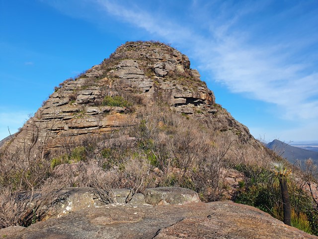
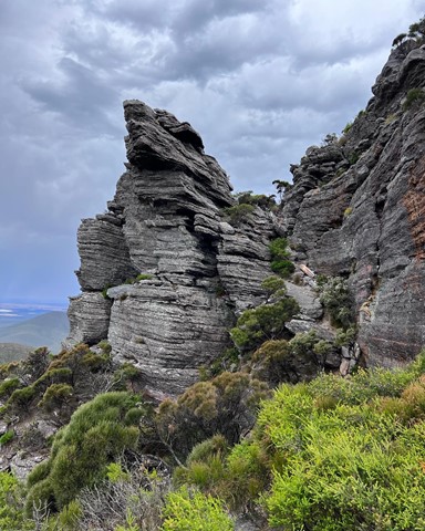
Talyuberlup Peak
A steep and challenging hike/climb to the top of Talyuberlup Peak which hosts impressive rocky outcrops near the summit and a hole straight through the mountain.