
Mt Toolbrunup
Stirling Range National Park


Menu
A steep walk/scramble up to the peak of the 2nd highest mountain in the Stirling Range.

Getting there
From Albany drive along Chester Pass Rd until you see a dirt road on your right named Toolbrunup Road. Follow this until the end to find a small carpark and the beginning of the track.
Route/Trail notes
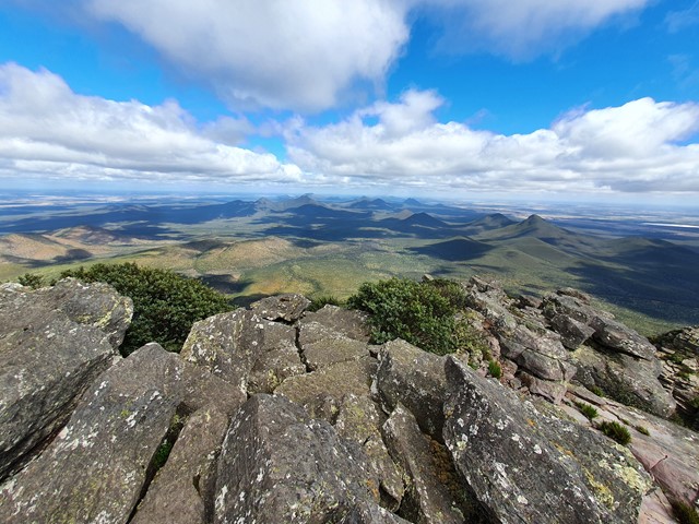
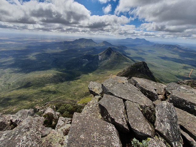
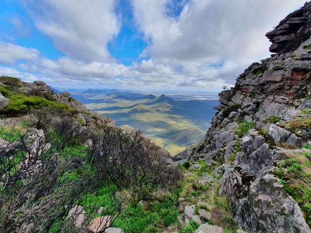
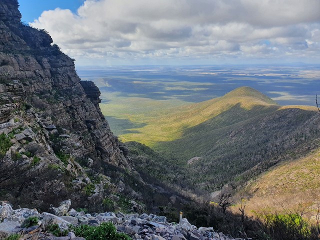
The walk from the carpark starts of gently then slowly begins to get steeper and steeper. Eventually you will start a steep ascent up a scree field filled with loose rocks and boulders. Reaching the saddle the final push to the summit is pretty straight forward scramble. View from the top is arguably the best in the Stirling Ranges. 360 degrees from a peak that towers above all the mountains that surround it.
Permits/Costs
$15 per vehicle per day
Other References
https://trailswa.com.au/trails/mt-toolbrunup/print
GPS Tracks
- No GPS available for this walk yet.
 4
4 3
3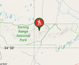
Comments