
Menu

 7
km
one-way
7
km
one-way
 4
hrs
4
hrs
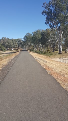
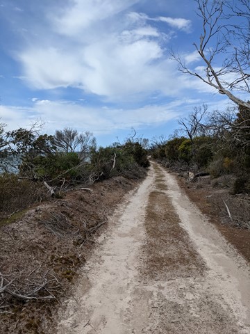
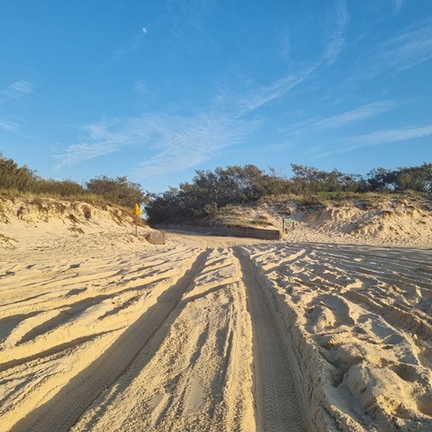
Tyagarah Fire Trail
Long, flat walk parallel to beach. It starts at Brunswick Heads, and ends a short distance from Byron Bay.
1.5
m
return
45
mins
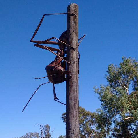
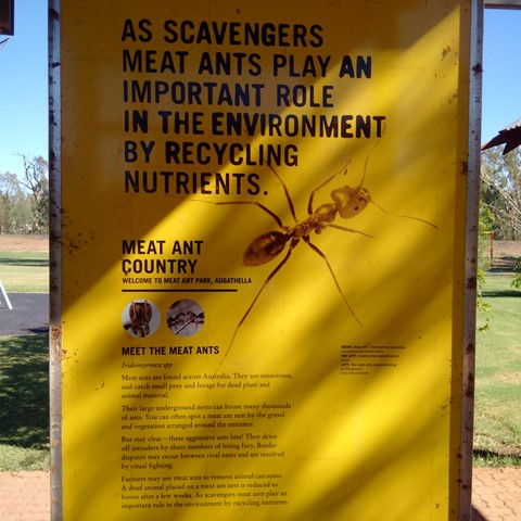
Meat Ant Park
Good for a stop and stretch your legs, when travelling on the Landsborough (Matilda) Highway between Barcaldine and Charleville or Roma, with a short stroll along the levee.
 2
km
return
1
hr
2
km
return
1
hr
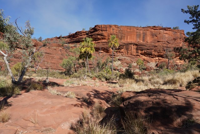
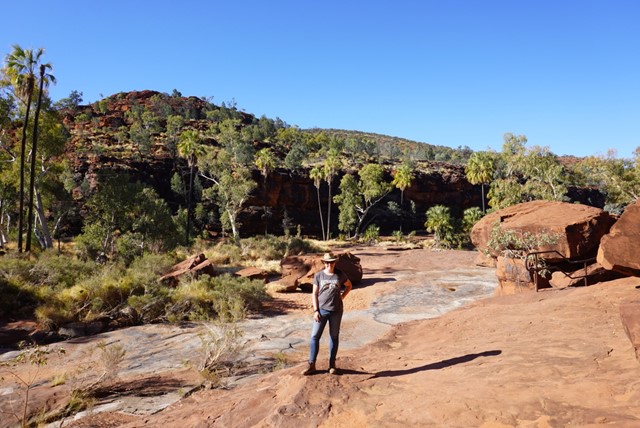
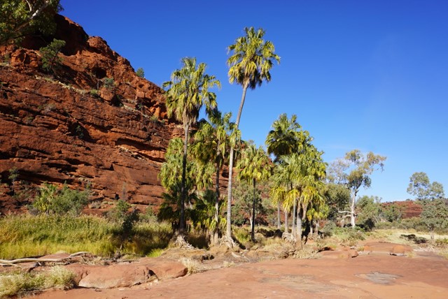
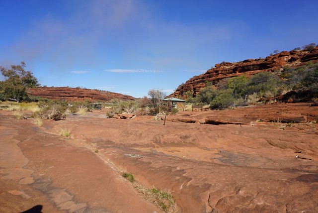
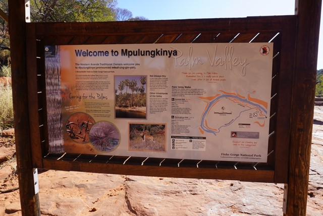
Arankaia Walk
In Palm Valley, the Arankaia Walk (2 km, 1 hour) and the longer Mpulungkinya Walk (5 km, 2 hrs return) meander alongside a lush oasis of slender palms and return to the carpark across the plateau.
5
km
return
2
hrs
Mpulungkinya Walk
In Palm Valley, the Arankaia Walk (2 km, 1 hour) and the longer Mpulungkinya Walk (5 km, 2 hrs return) meander alongside a lush oasis of slender palms and return to the carpark across the plateau.
5
km
return
2
hrs
Mpaara Walk
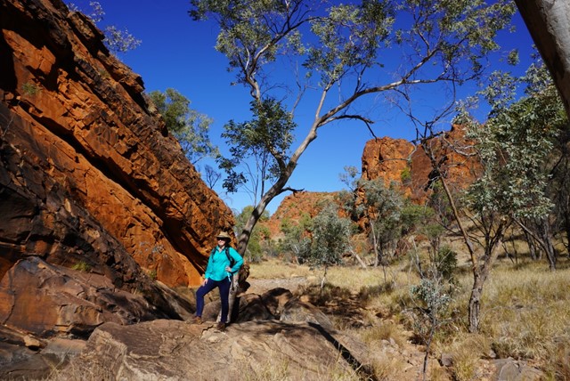
The Mpaara Walk (5 km, 2 hours return) begins at Kalarranga carpark and introduces some of the mythology of Western Aranda Aboriginal culture. Walkers will be rewarded with beautiful views of the ampitheatre.
1.5
km
return
45
mins
Kalarranga Lookout
Kalarranga Lookout (1.5 km, 45 minute return) is an easy 20 minute climb with spectacular views of a rock amphitheatre encircled by rugged cliffs.
2
km
return
90
mins
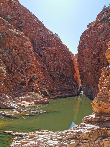
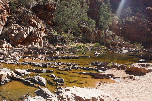
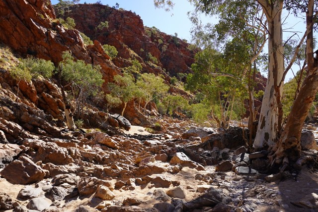
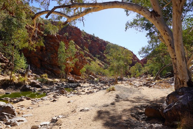
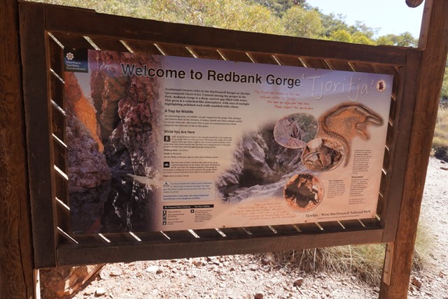
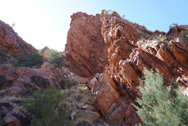
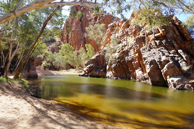
Redbank Gorge
A grade 3 - moderate 2 km, 1.5 hour return walk from the carpark alongside the creekbed will lead visitors to Redbank Gorge. The walk is unmarked but starts on a well defined track before dropping into the sandy creek bed. On a warm day walking in the sand is tiring and visitors should take and drink plenty of water. The track is rocky at times and care should betaken when walking.
Section 12 of the Larapinta Trail starts and finishes at the Redbank Gorge Carpark. Walkers can choose to enjoy the views at the Mt Sonder Lookout and return (5 km, 2.5 hours, includes steep sections of stone steps). Walkers also have the option to start or finish Section 11 of the Trail from this point. Both of these Sections are graded 3/4 - moderate to difficult and should only be attempted by fit people with previous bushwalking experience.
1
km
return
30
mins
Jessie Gap
These small Gaps in the Heavitree Range are the first features you come to on your trip into the East MacDonnell Ranges. They contain interesting Aboriginal paintings and are important
spiritual sites to the Eastern Arrernte Aboriginal people.
1
km
return
30
mins
Emily Gap (Anthwerrke)
Emily Gap (Anthwerrke) is a registered sacred site. A large rock painting depicts the caterpillar dreaming. Please respect the site and do not touch any Aboriginal art.
 2
km
return
90
mins
2
km
return
90
mins
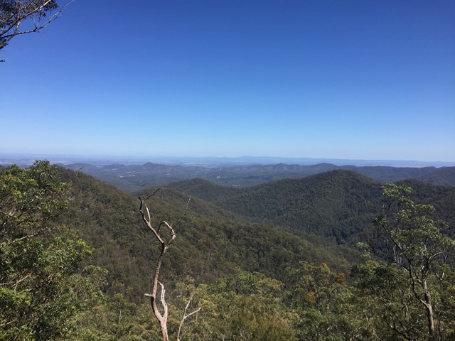
Mt Barney West Peak from Rum Jungle
A walk to the actual summit of Mt Barney (West Peak is higher than East Peak). It's got views, not as crowded as East Peak, and quicker to get to from Rum Jungle.
10.4
km
one-way
2
hrs
Oyster Walk
A 10.4km walk along the coast line at Coffin Bay, Ayre Peninsula. It is a good way to explore the township and area. A pleasant, easy walk with some special views around each corner. It can be done in sections and so the length is your own choosing.
1.5
km
return
1
mins
N'Dhala Gorge Walk (N'Dhala Nature Park)
Walking - A 1.5 km (1 hour return) marked walking track leads into the gorge. Signs along the track interpret some of the petroglyphs and the rare Acacia undoolyana.
3
km
return
2
mins
The Gorge Lookout
This lookout is off the Dragon Cave and Bloodwood Cave Walk (Approx 240 meters up from half way along the walk)

 2.5
km
one-way
90
mins
2.5
km
one-way
90
mins
Lepidozamia Remote Bush Camp
A pleasant 2.5km walk along a well maintained access track through rainforest and wet eucalypt forest leading to a spacious, well equipped remote campsite. The campsite offers a hut with benches and a picnic table, two large water tanks, and seating around a fire pit. There are sunset views over the range when looking to the west and, to the east, you can enjoy views of the sunrise, Moreton Bay, and Brisbane lights at night. If you’re lucky you will also see the fireflies flitting around the camp.
 800
m
return
30
mins
800
m
return
30
mins
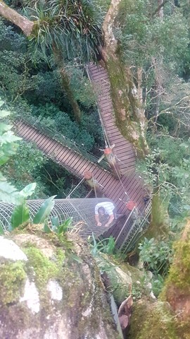
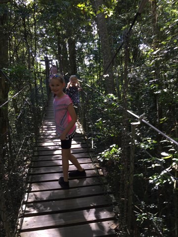
Booyong Walk (Treetop Walk)
The Tree Top Walk consists of 9 suspension bridges up to 16 metres above ground. Enjoy a bird’s eye view from a deck 30 metres above ground in a fig tree over the walkway.
 12.6
km
return
5
hrs
12.6
km
return
5
hrs
Lamb's Head and Kahlpahlim Rock
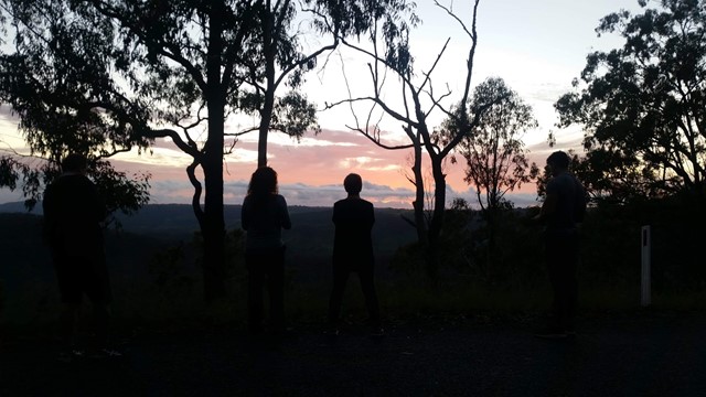
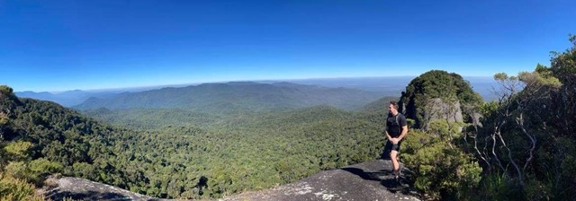
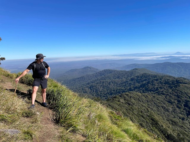
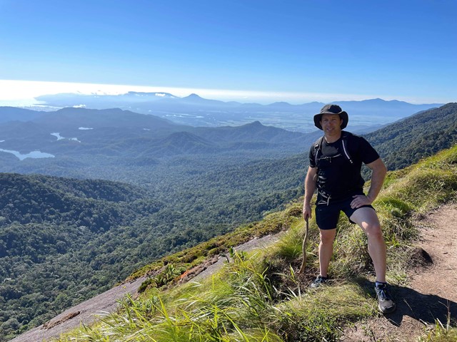
This a a fantastic and varied hike to the summit of Lamb's Head. Walk would range between 4-6hrs depending on fitness levels and stoppages. I recommend taking a few litres of water and some snacks. It is best during the dry winter season. The views at the top are absolutely amazing and there are several viewing points if you follow the 'sometimes hard' to see small pink ribbons. One view faces north/north-east over Cairns and the other is west/north-west. It truely is the one of the best hikes in the region. Afterwards you can find many beautiful rock pools at Davies Creek to swim in.
 18
km
one-way
5
hrs
18
km
one-way
5
hrs
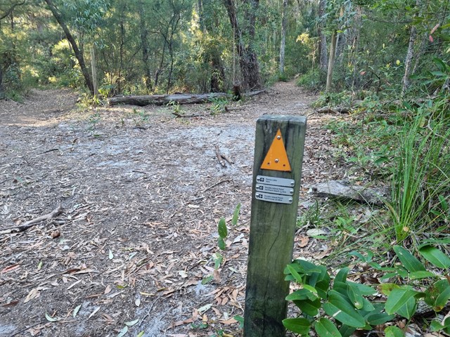
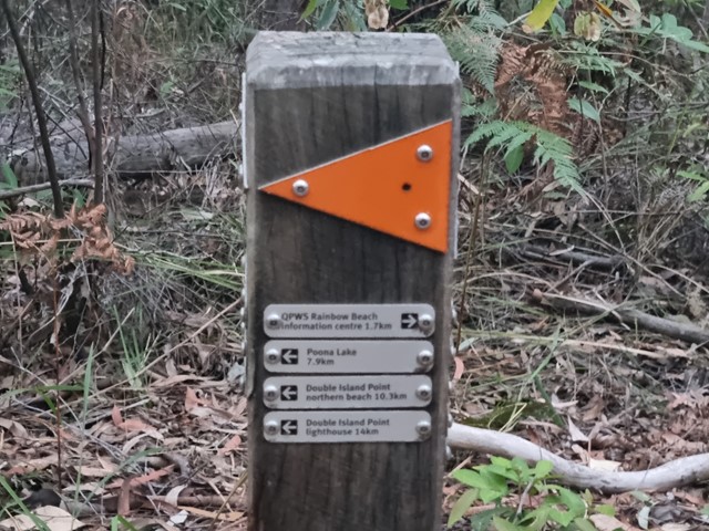
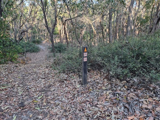
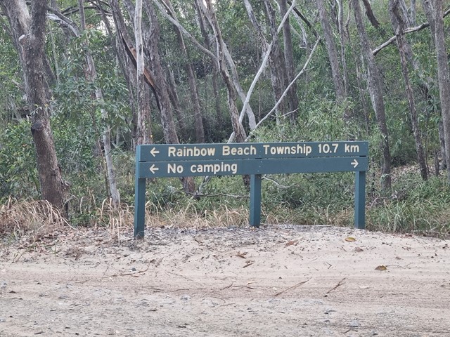
Cooloola Great Walk - S5 track to Freshwater Campground
Day 1 of the Cooloola Great Walk starting at the Rainbow Beach end but staying at the Freshwater campground rather than the walkers camp.
 20
km
one-way
5.5
hrs
20
km
one-way
5.5
hrs
Cooloola Great Walk - S6 track vis Leisha Track
Freshwater Campground to Rainbow Beach via Leisha Track