
Red Rock Walking Trail
Central Queensland


Menu
GPS Tracks
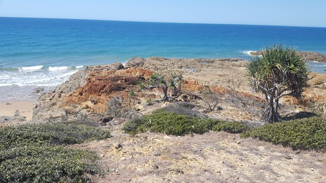
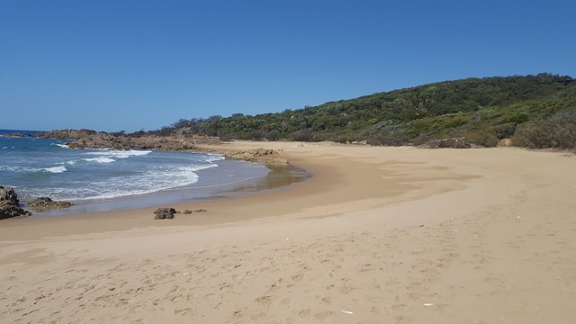

This picturesque walk crosses three beaches and corresponding headlands to Red Rock Headland, providing beautiful coastal scenery along the way. It is not uncommon to see a family of wallabies in the shade of one of the headlands, as well as White Bellied Sea Eagles cruising over the water.

Getting there:
Take Round Hill Road to Agnes Water and turn right onto Springs Road. Follow this for 2.5km and take the track opposite Ready Creek Reserve (Paperbark Forest Boardwalk), with parking at the end. This 800m track is pretty bad, so if your car is precious, I would suggest you park on the right at the Reedy Creek Reserve and walk in.
Maps:
The Agnes Water & Town of 1770 Visitor Map is available from the Visitor Centre on Springs Road, Agnes Water.
Route/Trail notes:
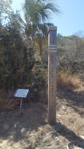
From the parking area, walk down the boardwalk onto Springs Beach. Cross the beach to the right and you will see a large square pole that represents the official start of the walk. From here, follow the path, which continues to be marked by smaller squared poles, over the headland to Sunrise Beach, a further headland and then down onto Red Rock Beach, at the far end of which is Red Rock Headland and the end of the trail. Return by the same route.
Permits/Costs:
None.
Other References/Comments:
The houses hidden away on your right as you walk down, are an eco-development know as Sunrise at 1770.
Remember to take your swimmers and towel, for a quick dip on one of these often deserted beaches.
 198 Red Rock Walking Trail (GPX)
 5.6
5.6 2
2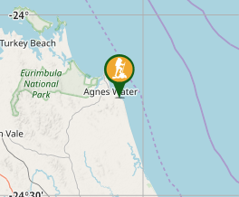
Comments