
Menu

 1
km
return
1
km
return
 20
mins
20
mins
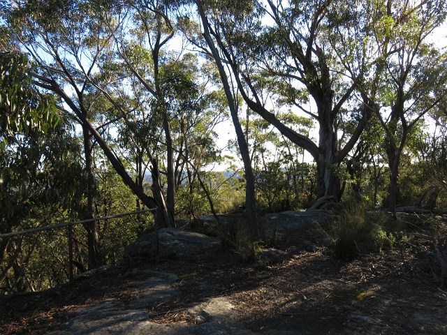
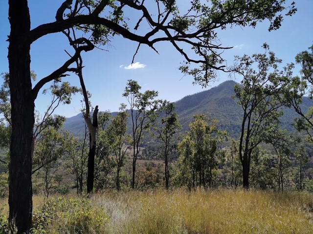
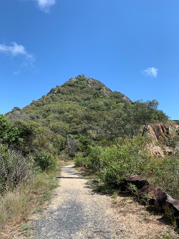
Mount Carnavon Track
Mount Carnarvon walking track connects Echo Point picnic area with an isolated hilltop lookout, offering terrific birdwatching and a place to have lunch afterwards.

 2.25
km
return
45
mins
2.25
km
return
45
mins
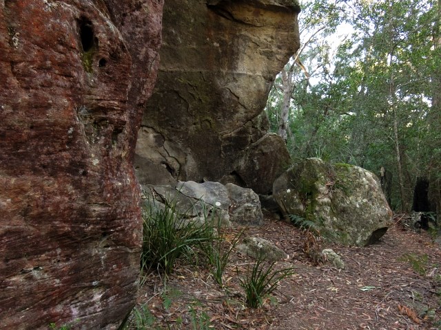
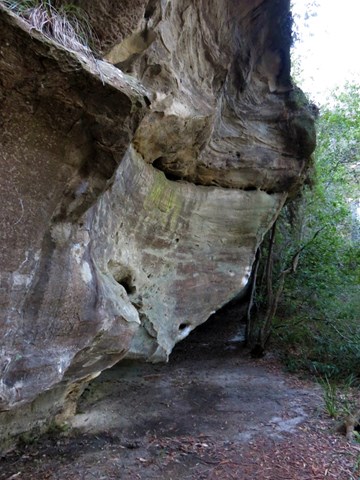
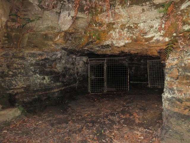
Erith Coal Mine Track
This short, steep walk through woodland, heath and rainforest leads to a mine that was open from the 1860s to 1915. The metre thick coal seam was of poor quality and only used for goods engines. For safety reasons, fencing prevents entry to the mine. This walk can also be undertaken from the Erith Coal Mine car park off Echo Point Road.
 2.5
km
return
90
mins
2.5
km
return
90
mins
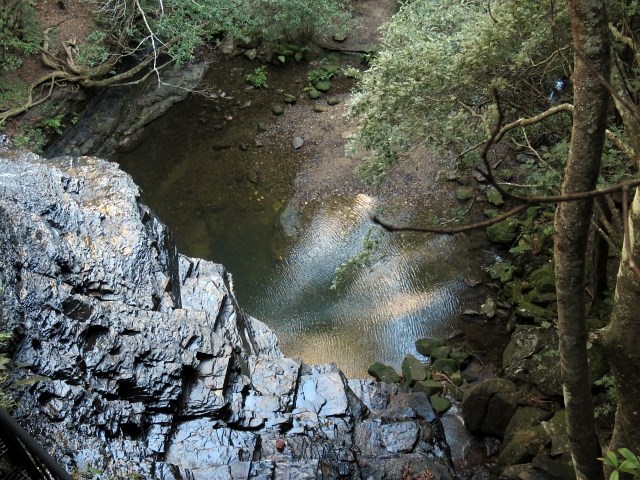
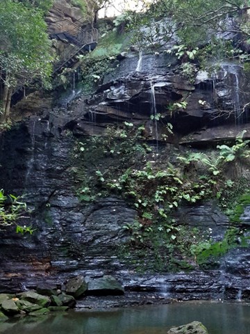
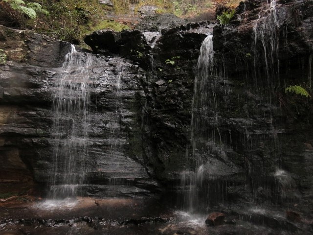
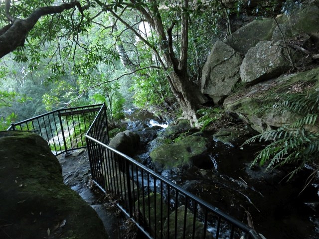
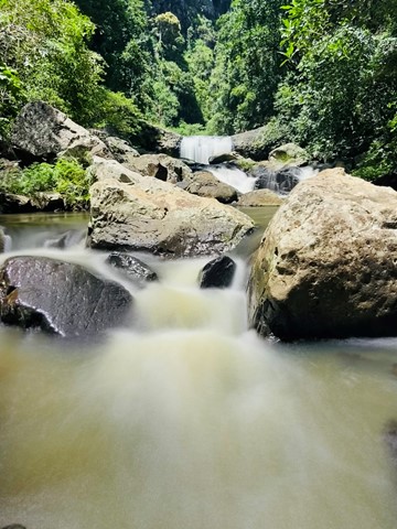
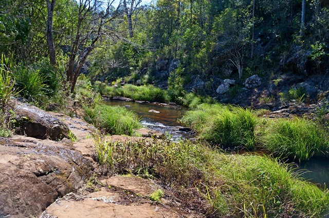
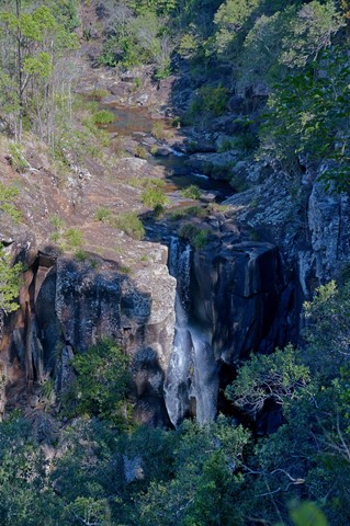
Fairy Bower Falls Walk
This walk will take you to top viewing platform of the falls and below. The way down is a bit steep in areas but well worth the effort. Once you reach the base of the falls you will be rewarded with lush green area with water flowing over the cliffs and into the rock pool.
 4.8
km
return
50
mins
4.8
km
return
50
mins
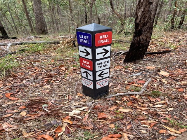
Postmans Track
Nice bushland walk around 4.8km for the loop. Well signed and easy to follow with plenty of birds, wallabies and the odd snake. The track is split into two marked trails Blue (the easier section) and Red (more hills), with a White trail shortcut joining the two.
 3.2
km
return
90
mins
3.2
km
return
90
mins
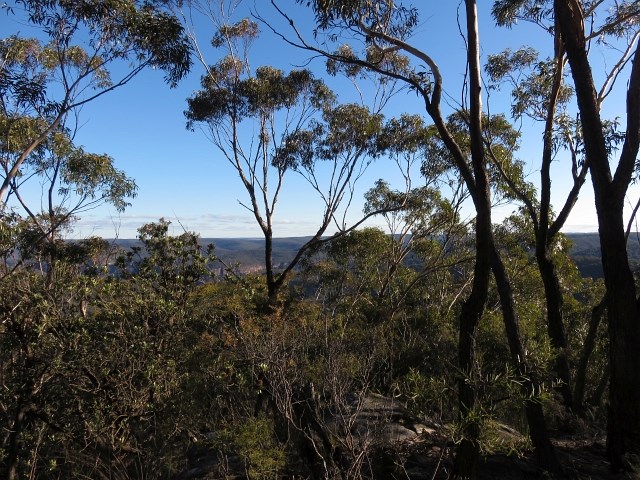
Mount Machar walking track
This short walk starts from the camping area, crosses the creek bed and goes up the hill to provide panoramic views of the valley. The eucalyptus trees block some of the view, but you can catch the sun coming over the mountains from here.
The path is a clear, wide strip of mowed grass and is easy to follow.
 11
km
one-way
3
hrs
11
km
one-way
3
hrs
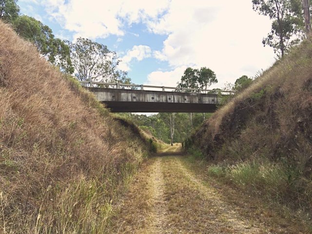
Esk to Ottaba - Part of BVRT
Approximately 11kms along the Brisbane Valley Rail Trail. Very exposed, but pleasant walking.
19
km
one-way
5
hrs
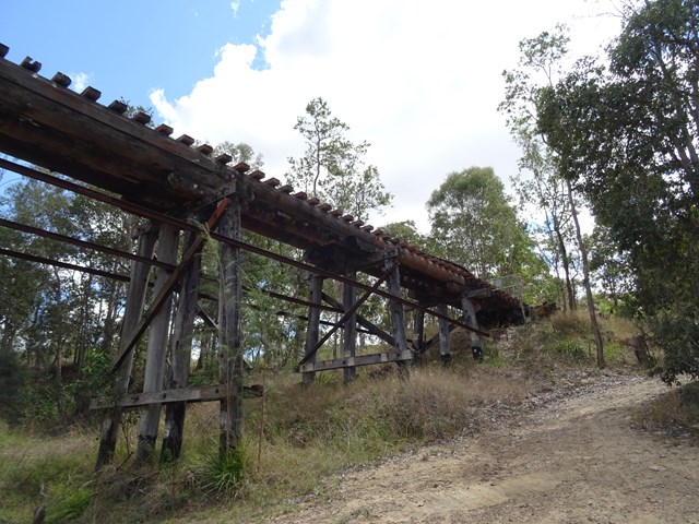
Esk to Toogoolawah - Part of BVRT
The 19 kilometre Esk to Toogoolawah section of the Brisbane Valley Rail Trail is northwest of Brisbane along the Warrego and Brisbane Valley Highways. This section of the trail travels adjacent to Camp Creek and crosses Cressbrook Creek, a tributary of the Brisbane River, at Toogoolawah. The trail extends through farmland including lucerne, other pasture and small crops that are important to the local economy.
On trail signage indicates classifications between Esk and Toogoolawah. The distance and lack of trail facilities make this section suitable for people with a moderate to high fitness level. There are no drinking water or toilet facilities between Esk and Toogoolawah. Sufficient water must be carried.
 14
km
one-way
4.5
hrs
14
km
one-way
4.5
hrs
BVRT - Coominya to Mt Hallen
Part of the Brisbane Valley Rail Trail. A great section for bird watching.
24.5
km
one-way
6
hrs
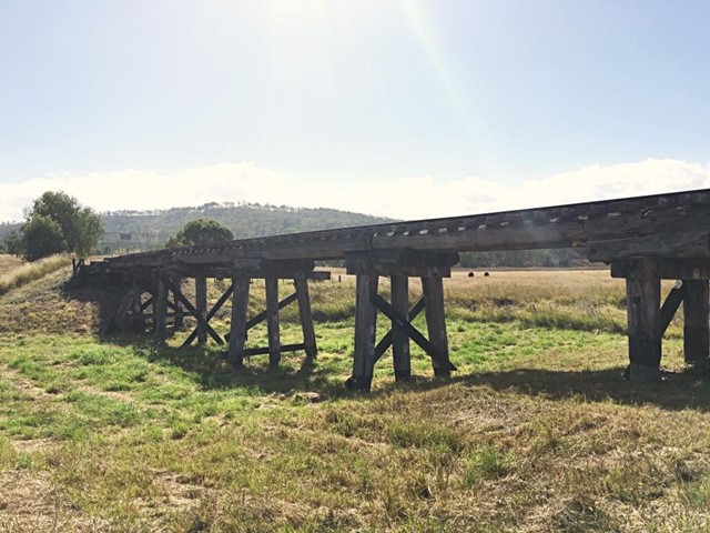
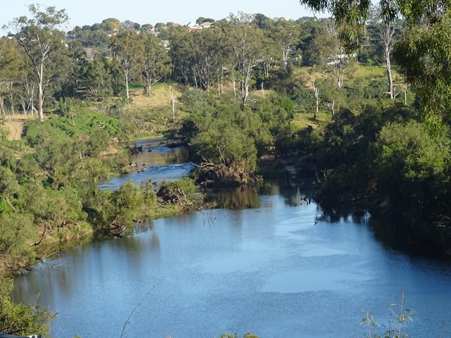
Coominya to Esk - Part of BVRT
This walk is part of the Brisbane Valley Rail Trail, starts and finishes at the railway station. Coominya and Esk are small towns but have all services. Several large and impressive rail bridges along the track but not accessible, a lower river crossing. The walk passes through farm lands but mainly bush walking so plenty of gates to open and shut but not a walk to complete in Summer months. The trail is well marked so maps are not required. Coominya is accessible after a turnoff on the Brisbane Valley Highway. Public amenities and car parking at both ends of the walk but no public amenities on the track. No permits or costs for the walk.
 8
km
one-way
2
hrs
8
km
one-way
2
hrs
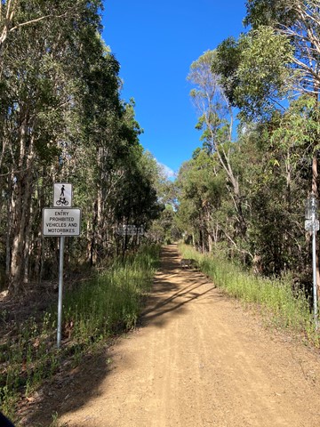
Fernvale to Lowood - Part of BVRT
For the most part this section of the walk follows beside the Brisbane Valley Highway ie it gets noisy and there really isn't much in the way of shade at all. However, the views are nice looking out towards to the mountains and onto Lowood. Heading in to Lowood you'll meet up with a bend in the Brisbane river with some lovely views downstream, and a large colony of bats making home in the trees. Arriving into Lowood, you'll be rewarded with the first section of actual railway for the trail; Lowood was the original terminus for the BVRT. Lowood has a pub, bakery and nice cafes for refreshments.
 20
km
one-way
3
hrs
20
km
one-way
3
hrs
Mary to Bay Rail Trail
A 20k walk/ ride from Hervey Bay To Maryborough, or visa versa. Cleared packed gravel track to thicker bush tracks. Mainly flat with some flooding in wetter weather. View the bird life and early morning kangaroos feeding on tufts of grass by the track.
 4
km
return
1
hr
4
km
return
1
hr
Hydro Walk
The Hydro walk begins in town, before veering off to the left where it proceeds to follow a route parallel to the road leading out of town; past the new Town Bore, crossing the road leading into the Aerodrome and finishing at the Hydro Power Plant Display. This is rather an interesting place to view.
Many trees, shrubs and plants along the walk have identification plaques.
 5
km
return
90
mins
5
km
return
90
mins
Hinterland Regional Park
A series of several short tracks which can make up a decent distance. A beautiful regional park situated in Mudgeeraba. The parklands cover 62 hectares and are a great location to undertake a range of recreational activities, or to just sit back and enjoy nature.
This parkland was the first Mudgeeraba land to be settled by Europeans in 1869. The original vegetation has been highly modified in the past 140 years as a result of: clearing timber cutting for sawmills and fence posts and rails, grazing by beef and dairy cattle, construction of water pipelines and power lines, invasion by introduced pasture legumes and escapees from gardens, and dam construction.
 5.5
km
return
2
hrs
5.5
km
return
2
hrs
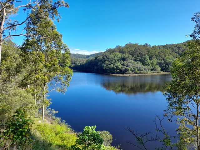
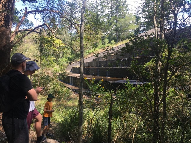
Gold Creek Reservoir
Within the Brisbane City area there are a number of nature reserves that provide opportunities for the hiker who doesn't want to drive for hours to get out of the city. One of the most interesting is the Gold Creek Reservoir located next to the suburb of Upper Brookfield.
 7
km
return
2
hrs
7
km
return
2
hrs
Environmental Walkway
A wonderful opportunity for bird watching, as the foreshores of Tin Can Bay can be explored via the 'environmental walkway'. This allows visitors to observe the inhabitants of the foreshores in comfort and without disturbing their natural habitat.
There is an excellent environmental walkway which runs along the foreshore of Tin Can Inlet. A well maintained path through the foreshore bushland with raised wooden walkways. There are lots of detailed signs explaining the flora and fauna, with a specific Foreshore Bird Walk with photos for identification purposes.
 800
m
return
40
mins
800
m
return
40
mins
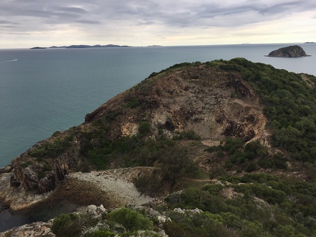
Double Head - Northern Peak
A steep climb up the northern peak of Double Head at Rosslyn near Yeppoon.
 2.1
km
return
45
mins
2.1
km
return
45
mins
Discovery Trail
This circular walk around Agnes Water Headland, including its Lookout, provides great views north up Agnes Water Beach to 1770 Headland and to the south along Chinaman's Beach.
 2.5
km
return
1
hr
2.5
km
return
1
hr
Denham Falls walk
This walk leads to a viewpoint above Lip Falls and the swimming hole below it in the Denham Scenic Reserve. Originally, now closed, one hour return walk through rainforest down to the Denham Falls and then to Lip Falls.
No longer can you get down to the falls but it’s still a nice easy walk.
Better to call it "Denham waterfall" walk.
 9
km
return
5
hrs
9
km
return
5
hrs
Coomies Walk
A coastal walk in Currarong in Abrahams Bosom Reserve.
Takes you to Lobster Bay, Mermaids Inlet and Gosang's Tunnel.