
Menu

 4.4
km
return
4.4
km
return
 2.5
hrs
2.5
hrs
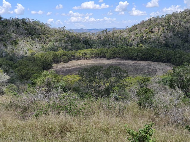
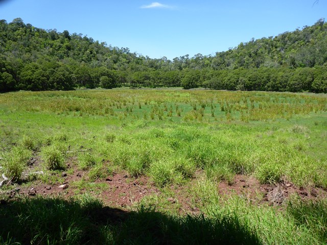
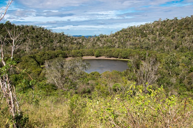
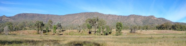
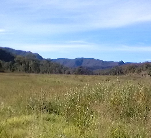
Coalstoun Lakes
A short walk up over the ridge and down in to the 1st crater. Between 1st and 2nd crater watch for orb spiders. Can be stunning when the lakes have water.
 18
km
6
hrs
18
km
6
hrs
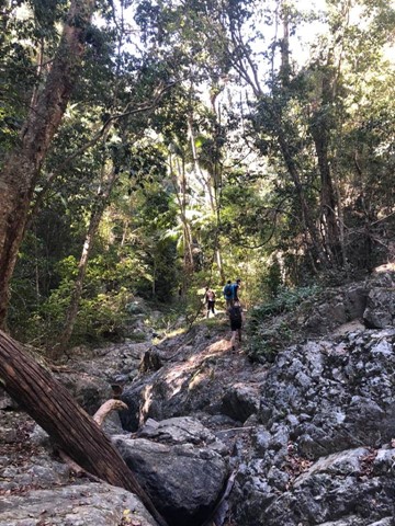
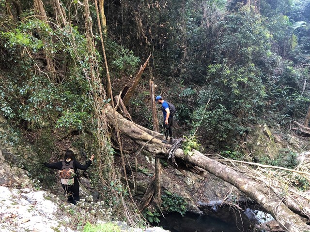
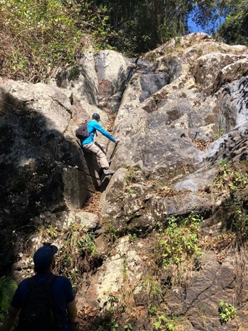
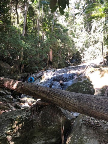
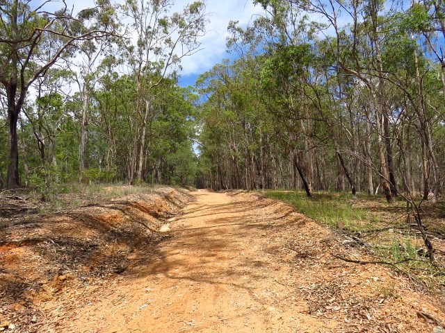
Cedar Creek - Black Creek
A nice loop along the creeks, falls and pools. Some hard steps requiring a little bit of easy climbing, sometimes impressive, especially when going down.
 2
km
return
3
hrs
2
km
return
3
hrs
Hell Hole Gorge
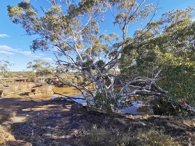
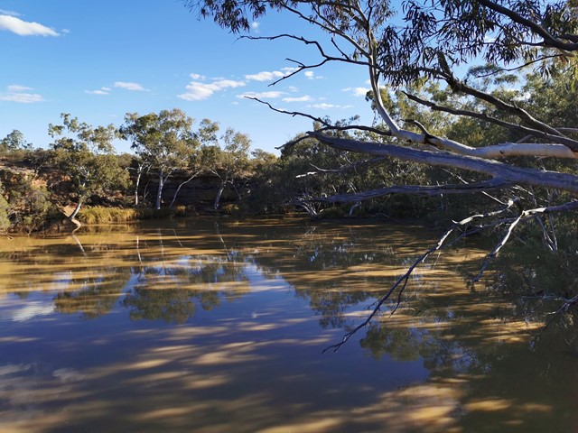
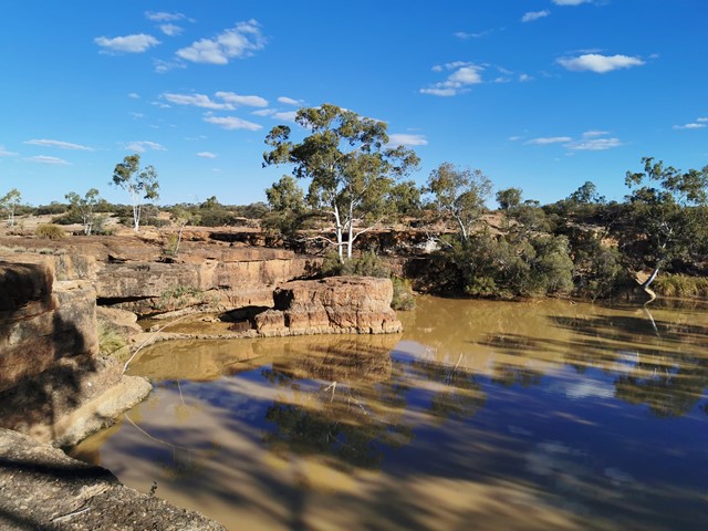
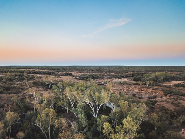
Hell Hole Gorge National Park is a wonderful spot about an hour drive from the small township of Adavale. Adavale has a pub/general store, but no fuel. During the hotter times of year it is recommended that you stop into the store or police station in Adavale before heading to Hell Hole Gorge, and let them know of your plans. I strongly recommend a 4WD, there are creek crossings that can be subject to washouts. Once on Hell Hole Gorge National Park there are 2 good swimming holes, Hell Hole Gorge and Spencer's Gorge. Both are lovely, but I personally prefer Spencer's Gorge. The walks up the creeks and from both points are incredible, but there are no marked walking tracks. The park is one of the few places the lucky bush-walker might see the elusive Yellow-footed Rock-wallaby. Though don't worry if you don't, there is a captive population at the National Parks Office in Charleville. The best time of year to be at the park would be late Autumn to early Spring. After rains both locations have lovely cascades and waterfalls. The majority of the park is inaccessible to the public, walking from both gorges is a worthwhile experience.
 2
km
return
1
hr
2
km
return
1
hr
Kholo Gardens (Multiple Tracks)
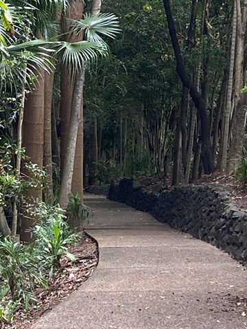
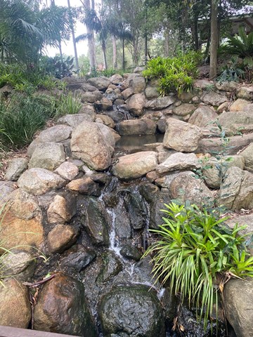
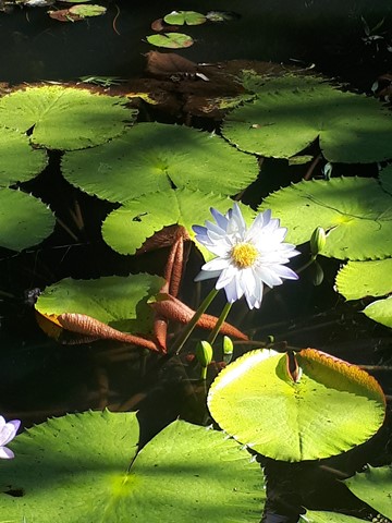
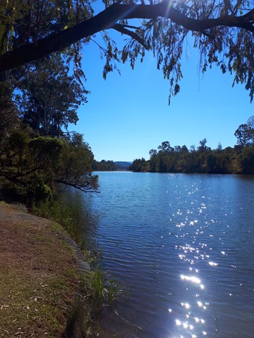
A picturesque retreat into nature seven kilometres from the Ipswich Central Business District is the peaceful Kholo Gardens at Pine Mountain. It’s an unexpected delight to explore with its lush gardens, crystal clear lily pond, bush walks and open spaces. Giant Kauri trees and Hoop Pines planted by early settlers, rare birds and plants, and the nearby Brisbane River all make this a special place to spend some time. It’s also a sacred site for the indigenous Jagera, Yuggera and Ugarapul People.
At this subtropical haven, you can enjoy the peace and quiet of the 400 metre walk through Tree Fern Lane under a natural rainforest canopy. The more energetic can try the steeper 800 metre Coal Creek Walk – aptly named seeing as the earliest recordings of coal in the area were made here in 1825.
Formerly the site of a water pumping station, Kholo Gardens has an historic well onsite as well as a charming little old church, relocated here in 1990 from Redbank. With that and a stunningly restored Queenslander nearby, you can see why this is a popular venue for weddings and other functions. There are also barbecues, picnic tables and public toilets.
 4
km
return
40
mins
4
km
return
40
mins
Lagoon Creek Walk
A fully sealed track that follows Lagoon Creek from the corner of Pettigrew and Ferris Streets. It follows Lagoon Creek along till it reaches the Bruce Highway.
The highlight of the track is the main lagoon where at the right time you may see a platypus as well as ducks and turtles.
 11
km
return
4
hrs
11
km
return
4
hrs
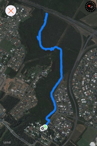
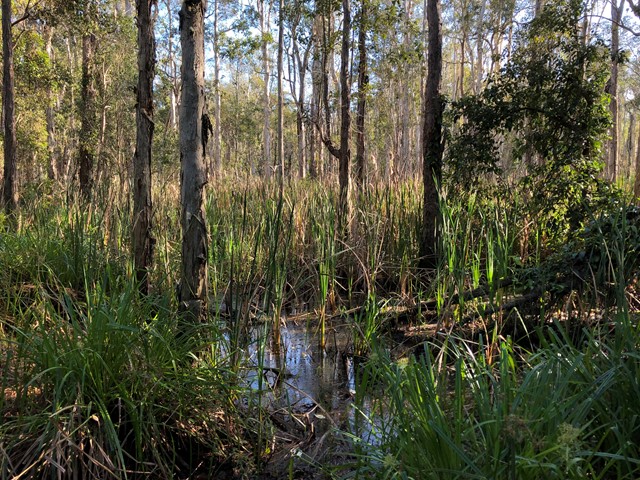
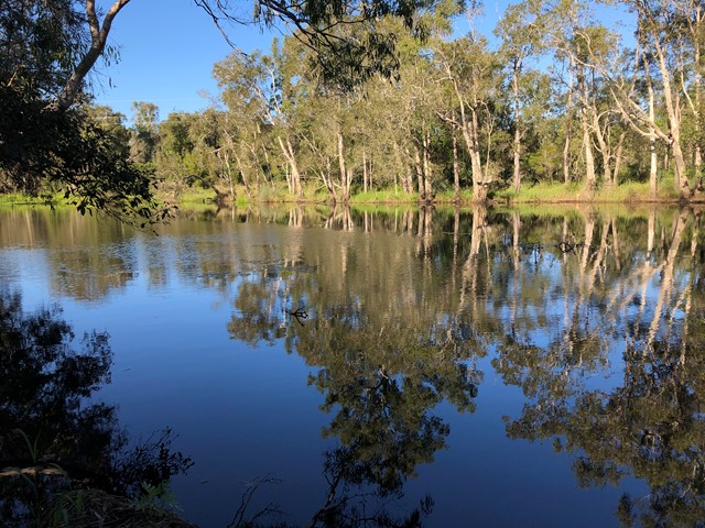
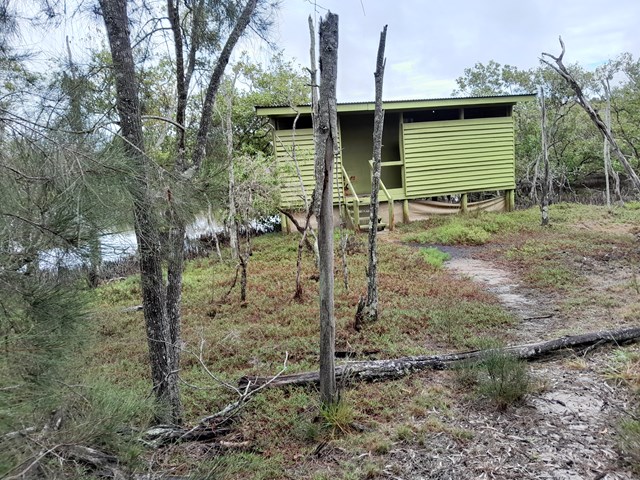
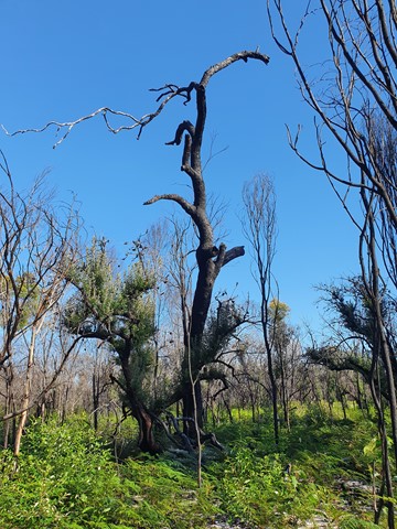
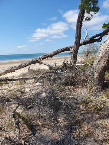
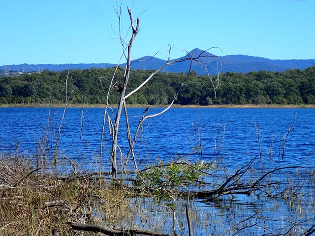
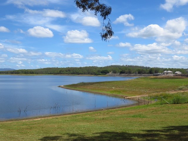
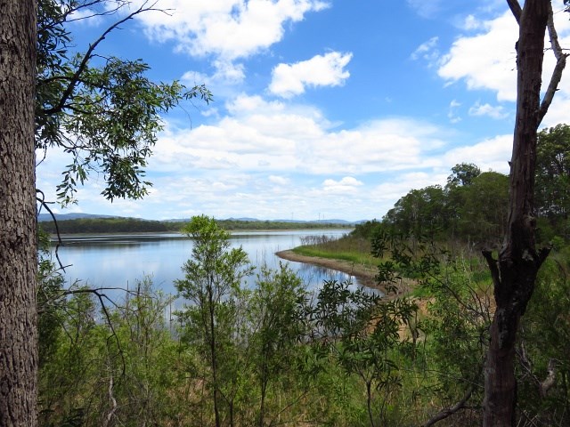
Melaleuca Circuit
A nice walk, just 45 minutes drive from Bundaberg. Walk through the trees to come out to a beautiful mangrove and continue on to an 4WD/walk in only camp-site. A short sandy section along the beach, leads you back to the start of the circuit. Official signage says 12km return, but my GPS only measured around 11km.
 4
km
return
1
hr
4
km
return
1
hr
Minnippi Parkland Circuit
These beautiful lush hectares of meadowland in the centre of Brisbane’s east have at their heart one of the rare surviving lagoons from pre-settlement days when low lying areas around the city fringes featured hundreds of them.
 14
km
return
6
hrs
14
km
return
6
hrs
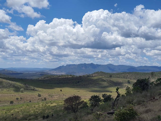
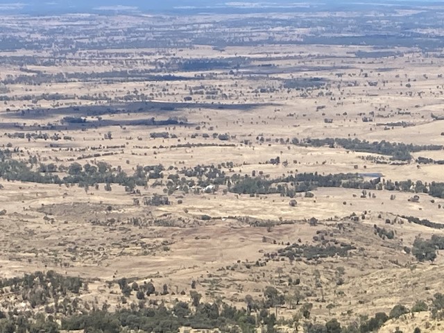
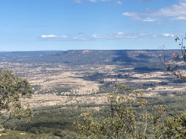
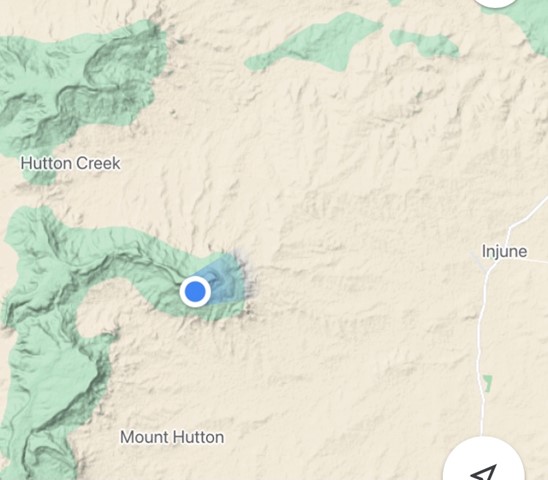
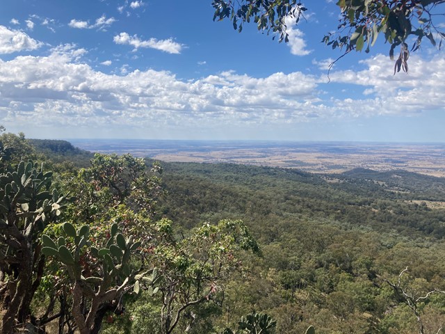
Mt Hutton
Mt Hutton provides sensational 360-degree views out towards Injune and the surrounding Maranoa region.
 5.6
km
return
2
hrs
5.6
km
return
2
hrs
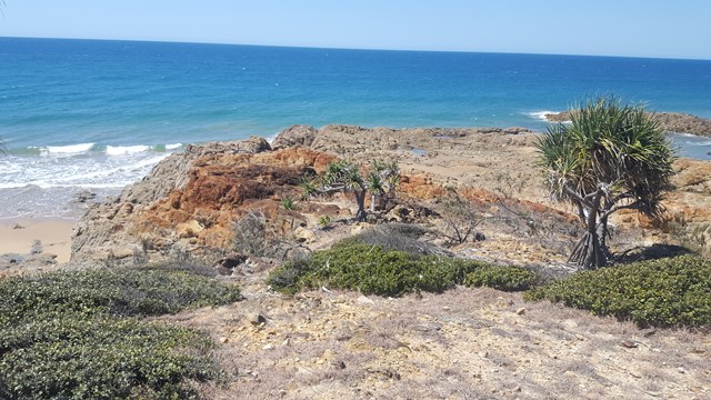
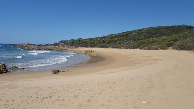
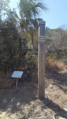
Red Rock Walking Trail
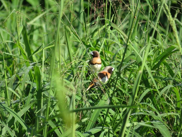
This picturesque walk crosses three beaches and corresponding headlands to Red Rock Headland, providing beautiful coastal scenery along the way. It is not uncommon to see a family of wallabies in the shade of one of the headlands, as well as White Bellied Sea Eagles cruising over the water.
 10.4
km
return
2.12
hrs
10.4
km
return
2.12
hrs
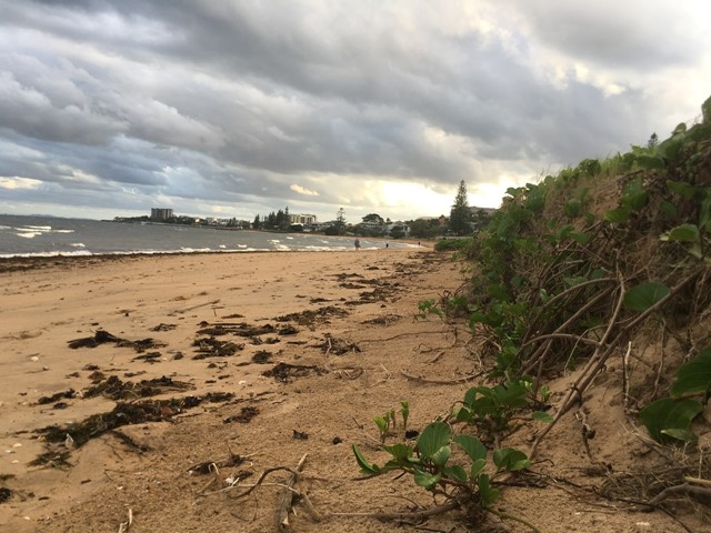
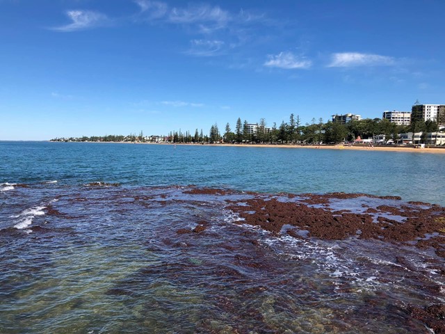
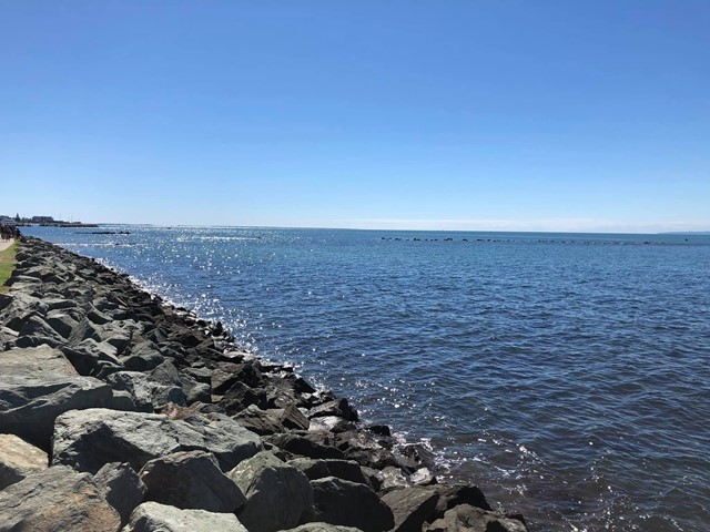
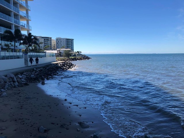
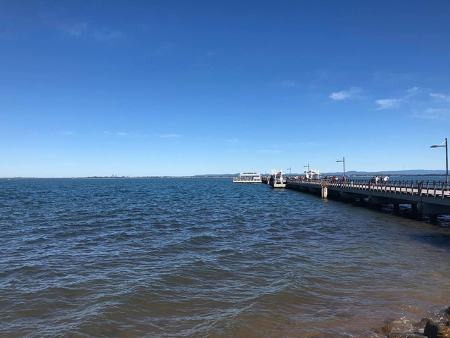
Redcliffe to Scarborough Cycleway
Start at the Redcliffe Jetty and head along the foreshore towards Scarborough. The Moreton Bay Cycleway is clearly marked along the pathway. The pathway ends where Landsborough Ave meets Fortune St. Turn right in to Fortune St and pick the pathway back up at the end of the Fortune Street at Tingira Park. Follow the track past the Newport Cruising Yacht Club on your left and then loop around the point to begin the return leg back to Redcliffe.
 4
km
return
1
hr
4
km
return
1
hr
Sandy Camp Rd Wetlands
A flat walk through the lesser-known wetlands.
Wheelchair access is possible but not an easy walk
 3.8
km
return
1
hr
3.8
km
return
1
hr
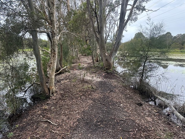
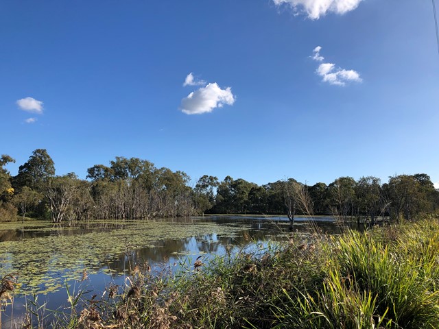
Tinchi Tamba Wetlands
Tinchi Tamba Wetlands Reserve is over 380 hectares in size and is part of a network of coastal wetlands on the edge of Moreton Bay. The wetlands are located 19 kilometres north of the Brisbane CBD, between Pine River and Bald Hills Creek and includes tidal flats, mangroves, salt-marshes, melaleuca wetlands, grasslands and open forest. Tinchi Tamba Wetlands Reserve offers a variety of walking trails.
 5.86
km
return
84
mins
5.86
km
return
84
mins
Woodgate Banksia Walking Track
A 200m paved surface leads from the entrance of the park to the boardwalk. The boardwalk is 400m in distance making a round trip from the park entrance and back about 1.4 km. The walking track varied from hard pressed dirt and grass, to quite soft sandy soil but in general was very well maintained and flat. Prams with pump-up tyres and bikes would both cope well on this track. The full circuit is 5.2km and takes about 2 hours to complete. The scenery was varied from large cabbage palms and ferns to forests of eucalypts and banksias.
 1.5
km
27
mins
1.5
km
27
mins
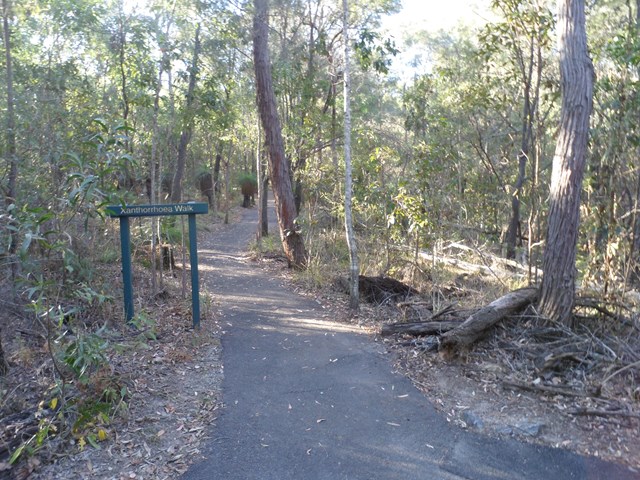
Xanthorrhoea Track
This track passes through mixed heath and woodland species including banksias, grass trees and heath peas. You are likely to see kookaburras, forest kingfishers, red-backed wrens, dollarbirds, lizards and geckoes.
Picnic area available at entrance.
Grade: easy, but it’s hilly
Suited to: birdwatching and flora walks
Habitat: heathland
Must: walk this track in September or at dusk
Recommendation: combine this track with the Banksia Track for a two hour circuit walk, Pomax Track for another two hour walk or all three for a three hour walk
 8
km
return
110
mins
8
km
return
110
mins
Bullocky Rest to Forgan Cove Loop
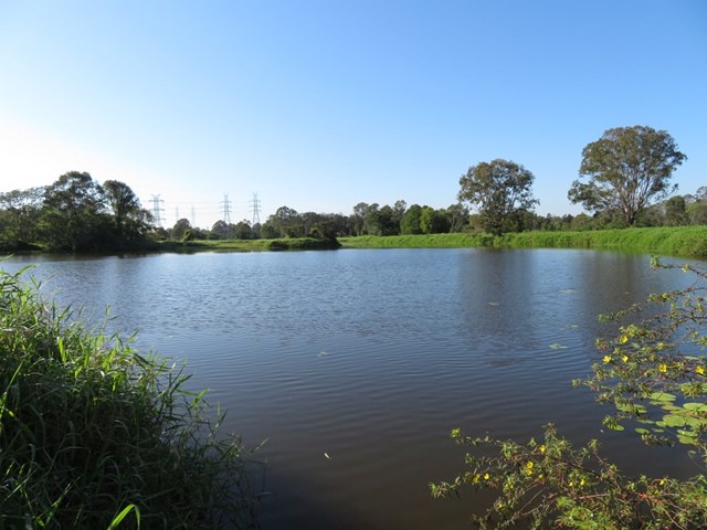
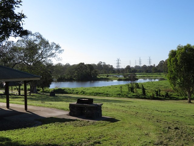
Bullocky Rest is a peninsular stretching out into lake Samsonvale. Being surrounded by water on three sides and with plenty of shade trees.
Start at either Bullocky Rest or Forgan Cove (the new watercraft launch area).
 16
km
return
4
hrs
16
km
return
4
hrs
Blackfellow Creek Glen Rock
An easy but longer walk. Yet no hills so the little ones can go along on this hike.
 1
km
18
mins
1
km
18
mins
Banksia Track
This track rises to a knoll with westerly views. You will see grass trees and Australian native grasses. If you are lucky you may even see swamp wallabies feeding on the grass.
9.6
km
one-way
2.75
hrs
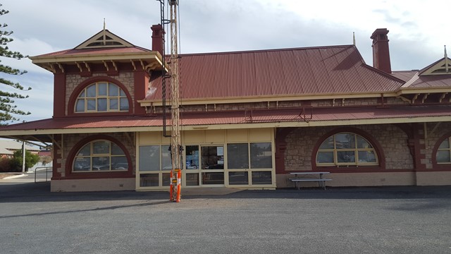
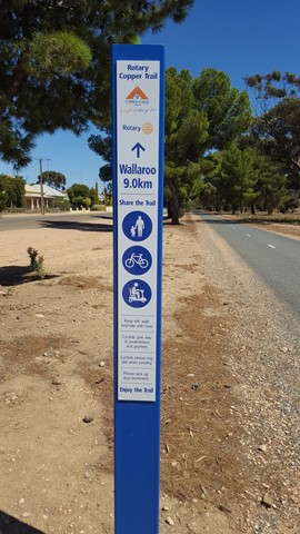
Copper Rail Trail
The old copper rail line between the Kadina mines and the smelting works and jetty at Wallaroo. Steeped in mining history with its interpretive sign and even details of the day in 1874 that W.G. Grace played cricket at the racecourse.
 400
m
return
30
mins
400
m
return
30
mins
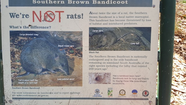
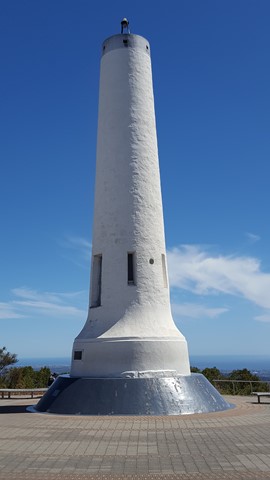
Discovery Walk
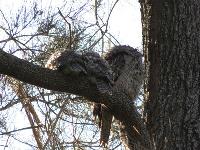
This short walk, just below the summit of Mount Lofty and Flinders Column, provides fantastic views of Adelaide below and an idea of the habitat here claimed by the local Bandicoots.