
Menu

 6
km
return
6
km
return
 2
hrs
2
hrs
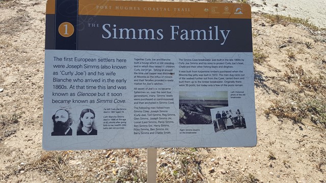
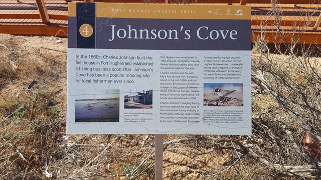
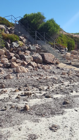
Port Hughes Coastal Trail
A coastal track and beach walk, with its interpretive signage, between the jetties of Moonta Bay and Port Hughes to the south.
 14
km
5
hrs
14
km
5
hrs
Sole Walk
Fantastic coastal walk from Kangaroo Island Lookout to Meehan Hill. A section of Walk the Yorke trail.
1
hr
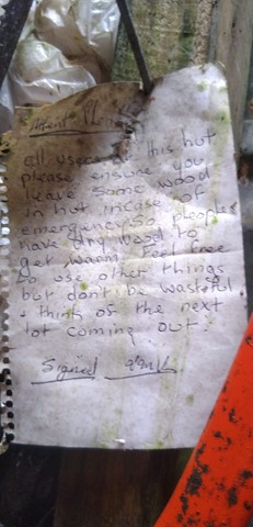
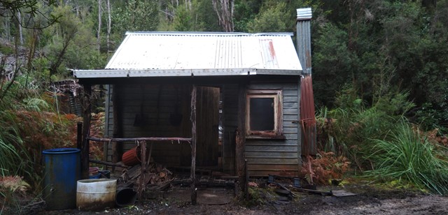
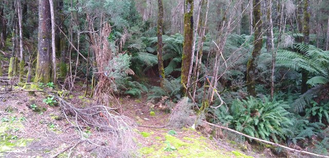
Tullah Miners Hut
A relatively short ( 1hr return ) walk through one of the local state forest to a historic hut in the forest.
 1.5
km
return
1
hr
1.5
km
return
1
hr
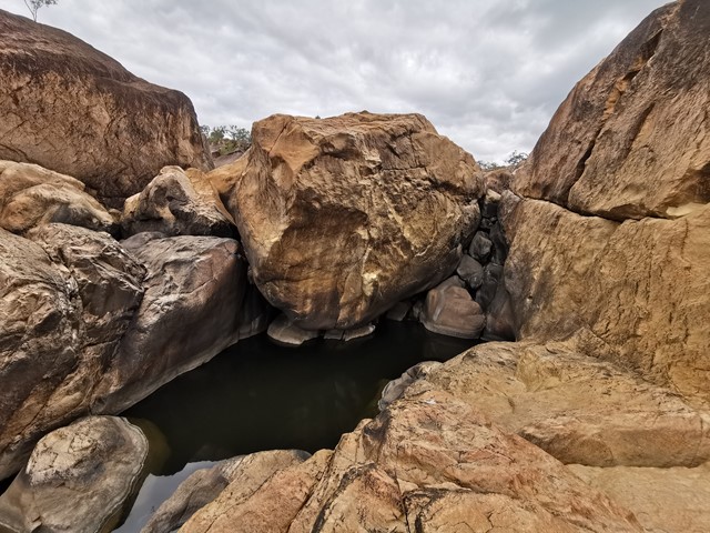
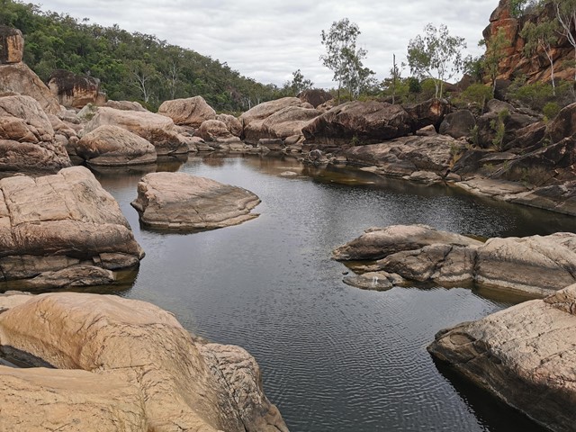
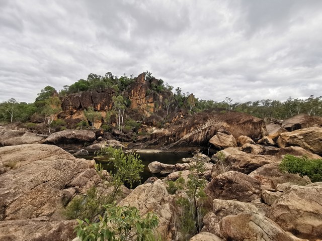
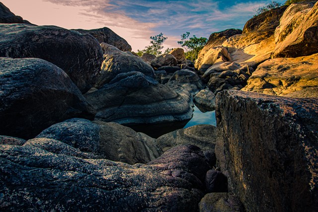
Auburn River National Park , Riverbed and rockpools walk
This is a strenuous walk and should only be attempted by fit walkers. This rough track winds down the side of the gorge to the river, travelling through dry rainforest, eucalypt forest and creek vegetation. The swollen trunks of bottle trees are a forest feature. Before exploring the river: take time to observe the immediate area to ensure you will be able to find the trail on your return. Take care when walking on wet rock surfaces, as they can be slippery.
 200
m
one-way
15
mins
200
m
one-way
15
mins
Little White Rock Lookout Circuit
Take a detour from the Little White Rock Track along a moderate level track for a view over the forest at the lookout.
 200
m
one-way
15
mins
200
m
one-way
15
mins
Bluff Lookout Circuit
A short walk to a lookout on a sandstone bluff. Tree top views over Six Mile Creek and the conservation area.
 1
km
return
30
mins
1
km
return
30
mins
Six Mile Creek Boardwalk
Wander along the boardwalk in the cool shade of the Blue Gum forest. Keep an eye out for a koala resting in a large gum, scratches and droppings at the base of the tree will point you in the right direction. Access can be had to Bluff Lookout from the boardwalk
 7
km
return
3
hrs
7
km
return
3
hrs
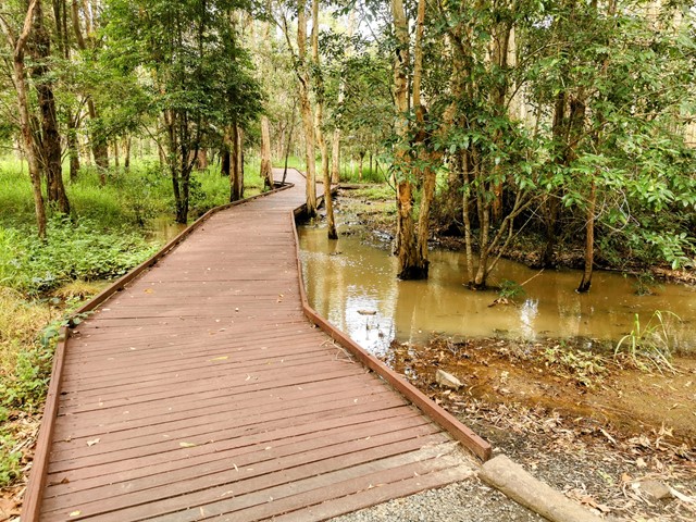
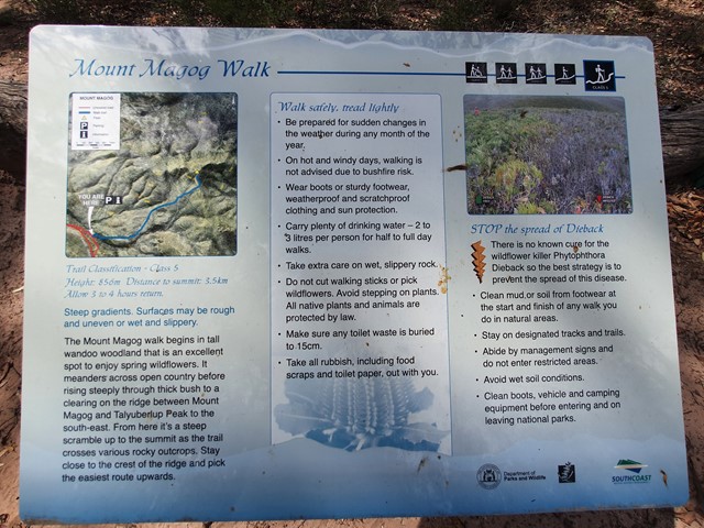
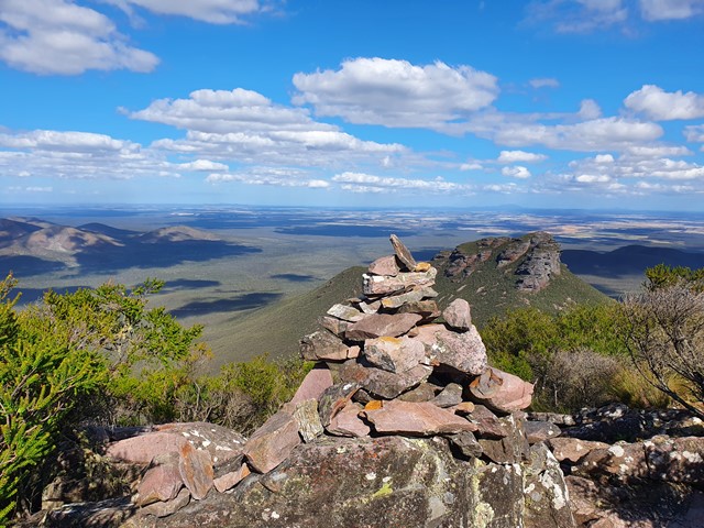
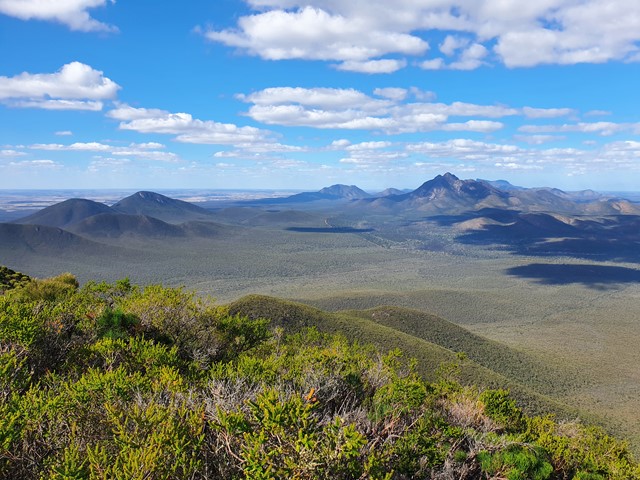
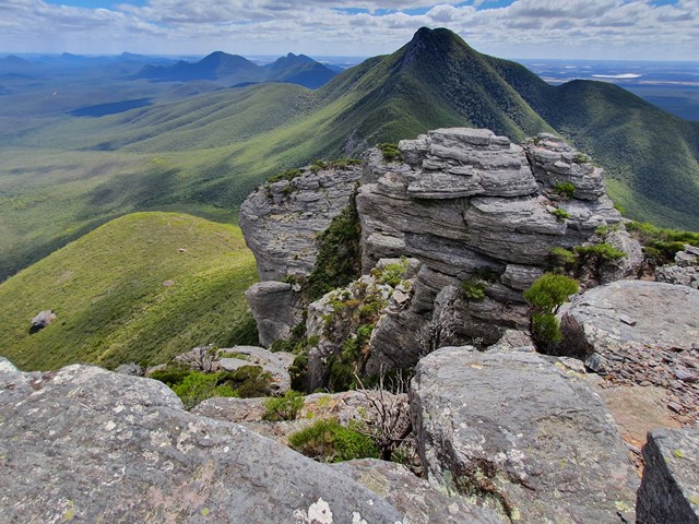
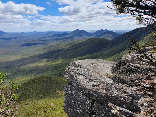
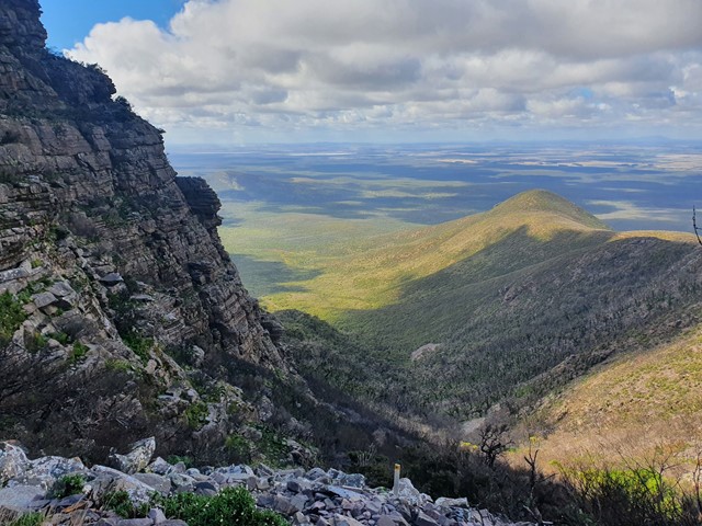
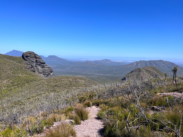
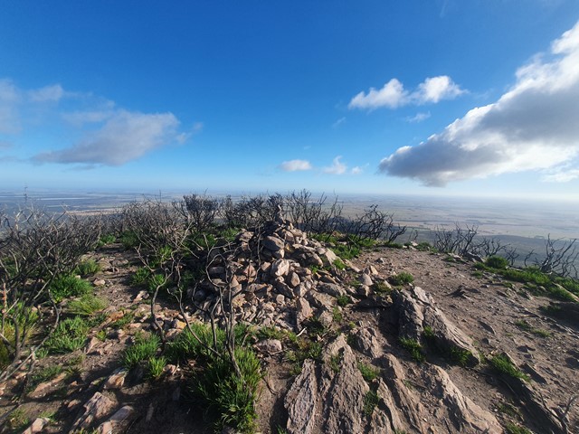
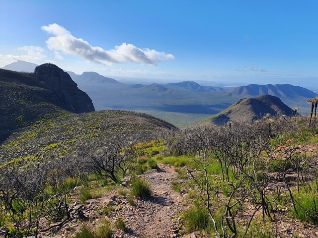
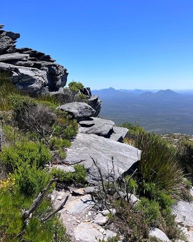
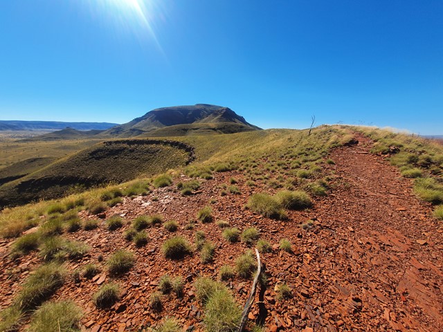
Mt Magog
One of the lesser climbed peaks of the Stirling Range, Mt Magog features a long undulating walk to the base of the mountain then a steep walk/scramble to the top to get excellent views over the surrounding area and the neighboring Talyuberlup Peak.
 2.6
km
return
2
hrs
2.6
km
return
2
hrs
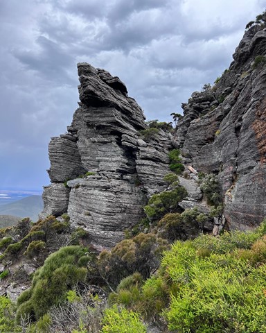
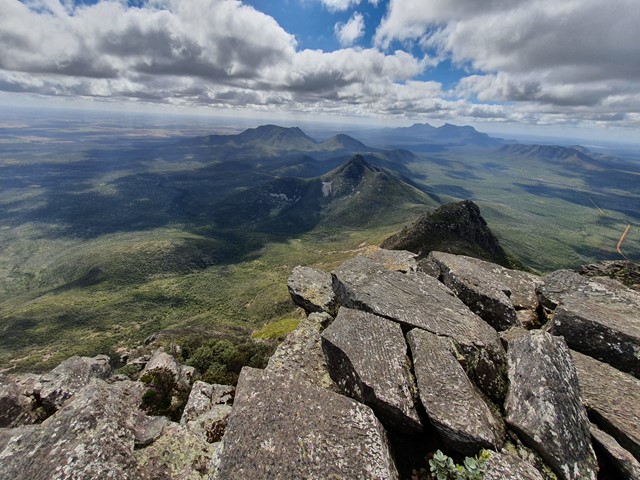
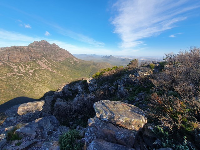
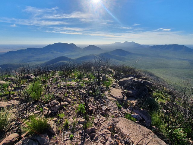
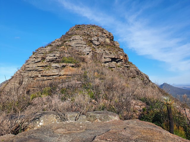
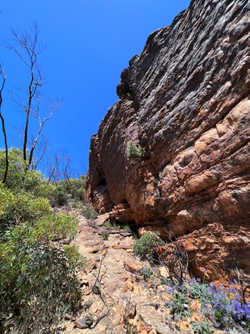
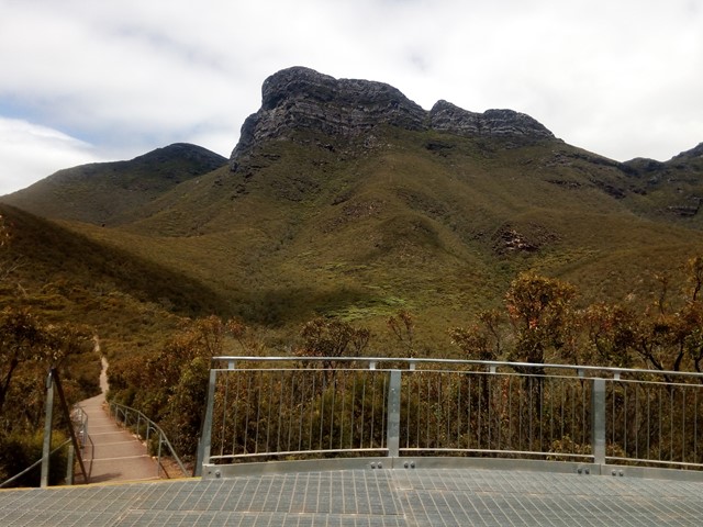
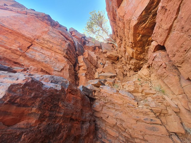
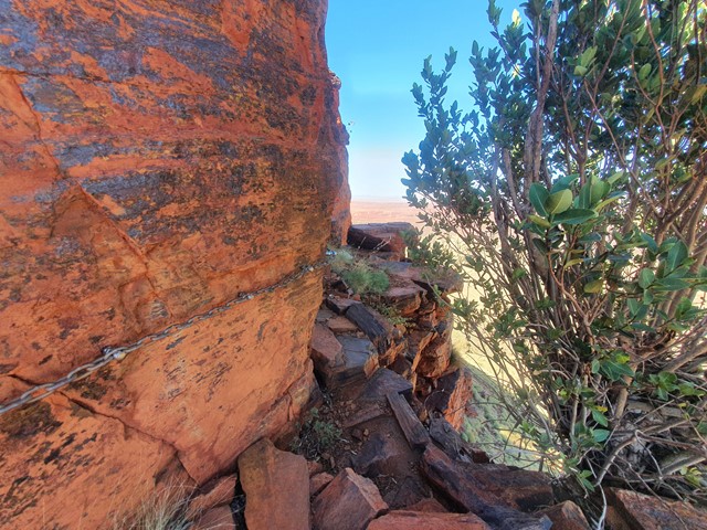
Talyuberlup Peak
A steep and challenging hike/climb to the top of Talyuberlup Peak which hosts impressive rocky outcrops near the summit and a hole straight through the mountain.
 4
km
return
3
hrs
4
km
return
3
hrs
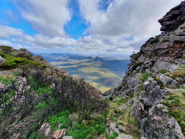
Mt Toolbrunup
A steep walk/scramble up to the peak of the 2nd highest mountain in the Stirling Range.
 3
km
return
2.5
hrs
3
km
return
2.5
hrs
Mt Hassell
A short yet steep walk that ascends 430 meters in just 1.5kms and provides excellent views of the neighboring Mt Toolbrunup.
 3.5
km
return
2.5
hrs
3.5
km
return
2.5
hrs
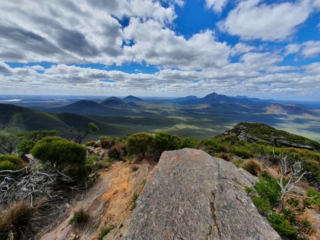
Mt Trio
The 2nd easiest of the Stirling Range Mountains after Bluff Knoll hosts excellent views and a physically challenging track with lots and lots of steps.
 6
km
return
3
hrs
6
km
return
3
hrs
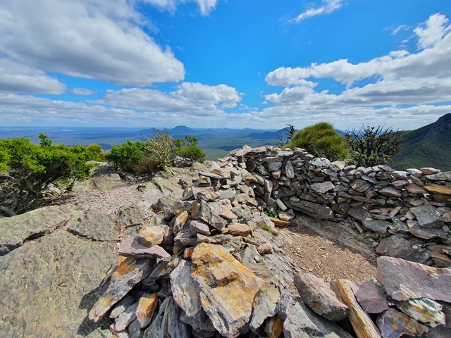
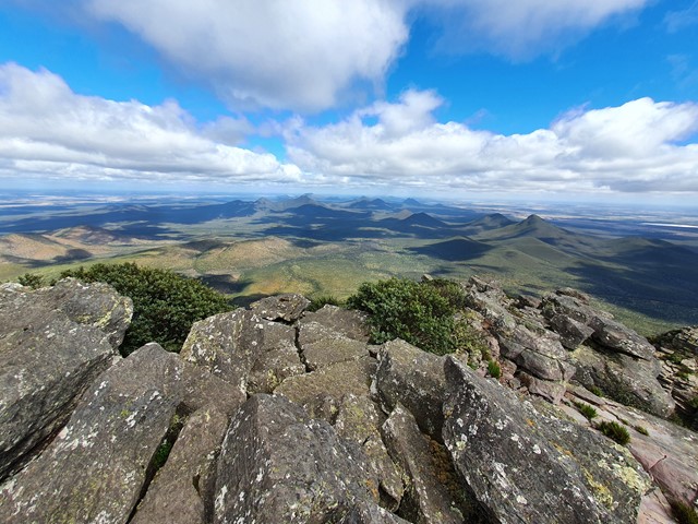
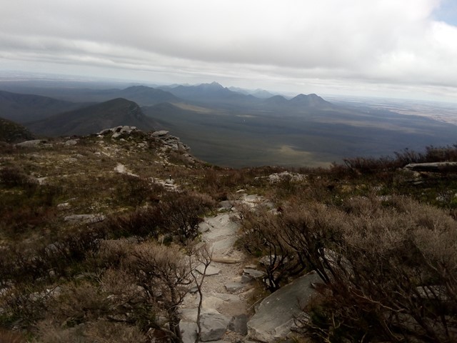
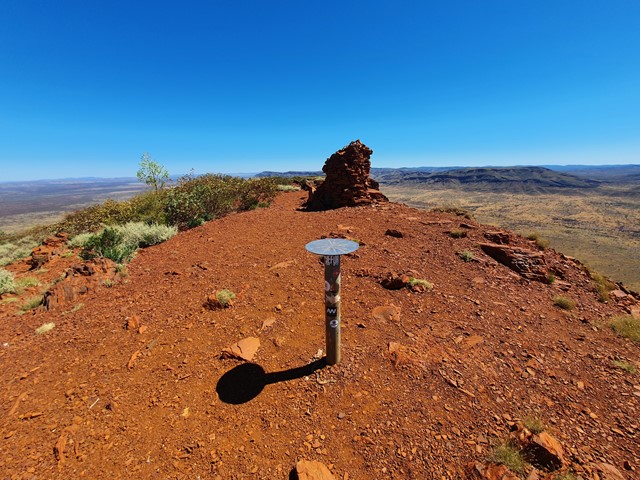
Bluff Knoll Summit
The third highest peak in Western Australia and the highest in the Stirling Ranges located 4.5hrs South East of Perth. The range is very prominent rising high above the predominately flat terrain. The walk itself is very well marked and attracts a lot of tourists of varying ages and fitness levels. Most people of reasonable fitness can climb it in under 2hrs with lots of time to rest and enjoy the view. At the top you are greeted with a panoramic view of the National Park, Stirling Ranges and beyond.
 4.5
km
return
2.5
hrs
4.5
km
return
2.5
hrs
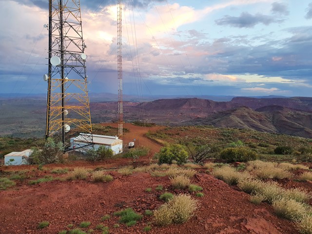
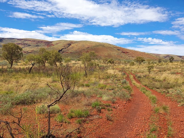
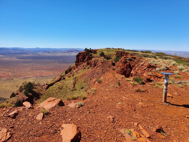
Mt Nameless (aka Jarndunmunha)
A nice steep walk to the summit of Mt Nameless (known to the local Aboriginals as Jarndunmunha). The summit is a great place to check out the sunset and view the surrounding mines. Mountain is located right next to the town of Tom Price.
 10
km
return
3
hrs
10
km
return
3
hrs
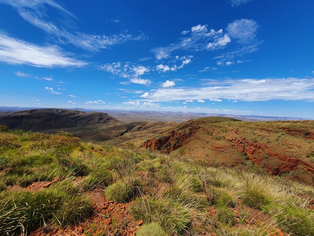
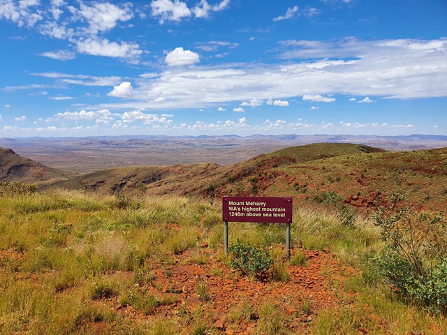
Mt Meharry
Highest mountain of WA at 1249 m.
You can actually drive to the top but would require a 4WD.
 10
km
return
4
hrs
10
km
return
4
hrs
Mount Bruce
Mount Bruce is the second-tallest peak in Western Australia at 1235m and lies about 36km west of the park office. The walking tracks on the mountain provide a great opportunity to view the Marandoo Mine Site located to the south. The easiest walk is the Marandoo View which is a 500m walk and takes about 30 minutes round trip. For a slightly harder walk, you can take the Honey Hakea Track which is a 4.6km round trip that is about a 3 hour journey.
 8.5
km
return
3
hrs
8.5
km
return
3
hrs
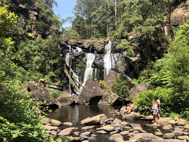
The Canyon
To get to The Canyon, follow the track at the north side of Sheoak Picnic Area. Crossing Allenvale Road and then Sharps Track, you will find Wonwondah Falls. Later there is Henderson Falls, very pretty when there has been recent rain. The the walk continues through the canyon and then the next stop is Phantom Falls, again more beautiful when there has been some rain.
 3.5
km
return
90
mins
3.5
km
return
90
mins
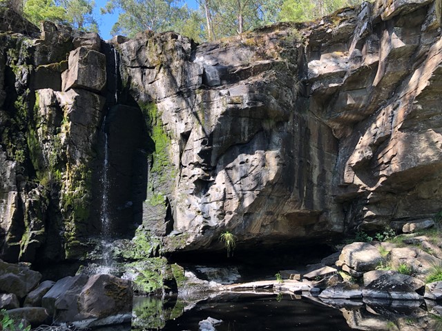
Phantom Falls
A walk to one of the many waterfalls in Great Otway National Park, not too far from the Great Ocean Road.
It appears this walk is permanently closed but there is little to confirm this online. Please edit this walk and provide details if you have them.
 4.4
km
return
90
mins
4.4
km
return
90
mins
Port Campbell Discovery Walk
A walk from Port Campbell along the cliff line with views over Port Campbell and the cliffs east of Port Campbell.