Menu
Popular Walks
-
Mt Ngungun
(1162 ticks) -
Mount Coolum
(874 ticks) -
Mt Warning Summit Trail
(760 ticks) -
Mt Cordeaux
(669 ticks) -
Twin Falls Circuit
(638 ticks)
Popular Walks
-
Mt Ngungun
(1162 ticks) -
Mount Coolum
(874 ticks) -
Mt Warning Summit Trail
(760 ticks) -
Mt Cordeaux
(669 ticks) -
Twin Falls Circuit
(638 ticks)
Sub-Regions
Walks in Mt Barney National Park

 9.6
km
return
9.6
km
return
 3
hrs
3
hrs
Logan's Gorge
A cool offtrack walk. This is an offtrack walk and good navigational skills are mandatory
 7.4
km
return
3
hrs
7.4
km
return
3
hrs
Lower Portals
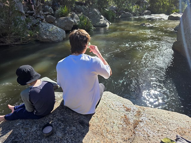
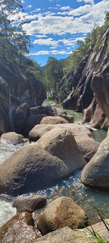
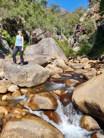
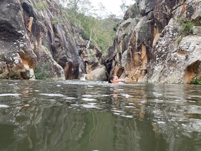
This was my first overnight hike. It was challenging, but not ridiculous. A good beginners walk. I highly recommend going for a dip in the creek even in Winter. It was like an ice bath for my tired muscles.

 10.5
km
return
5
hrs
10.5
km
return
5
hrs
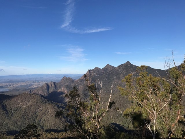
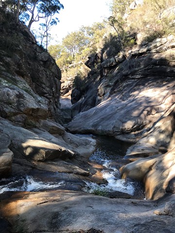
Montserrat Lookout and Upper Portals Circuit
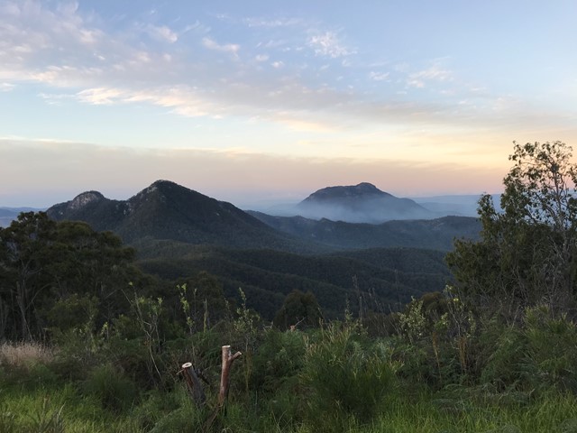
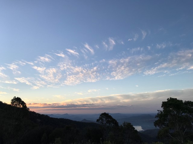
An awesome day out taking in these two spectacular locations, enjoying the amazing views of Mt Barney from Montserrat Lookout, and exploring the Portals. There are a couple of leg-burning climbs involved, but the rewards are worth it.
 15
km
return
11
hrs
15
km
return
11
hrs
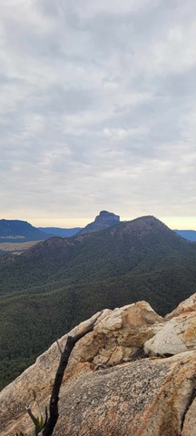
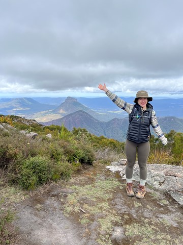
Mount Barney South East Ridge
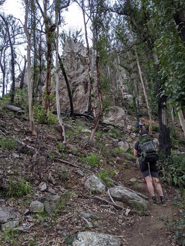
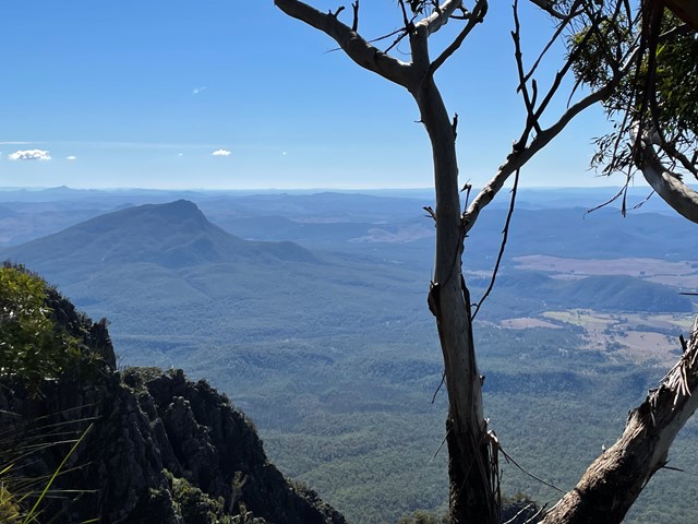
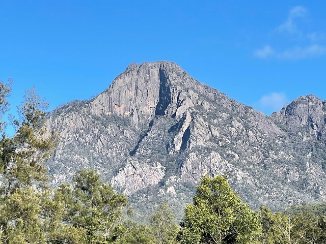
Big day on the mountain. Up and back down the SE Ridge. Well worth all the aches and pains.
 11
km
return
9
hrs
11
km
return
9
hrs
Mount Ernest
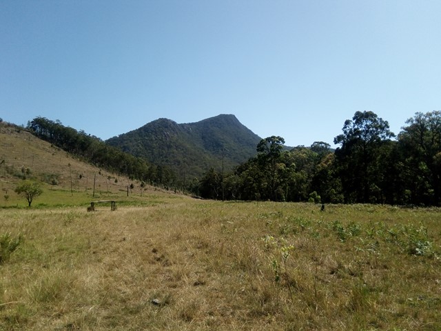
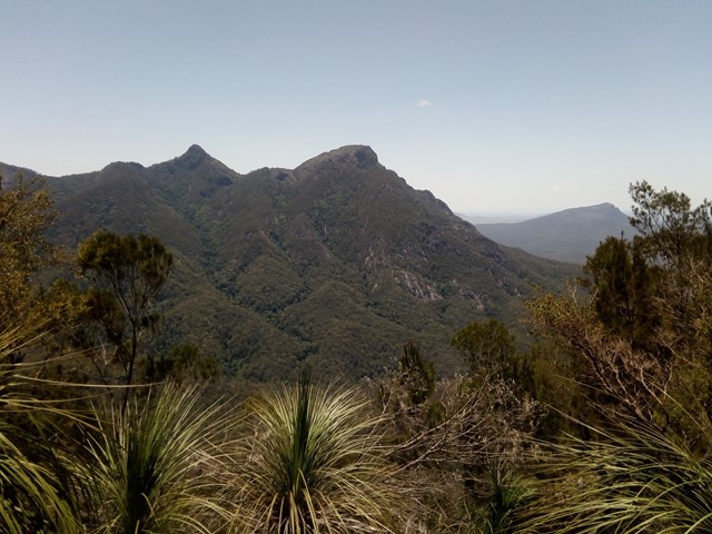
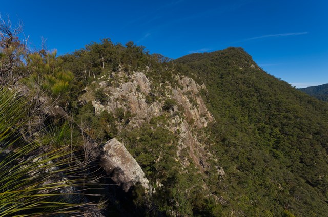
IMPORTANT: The route to Mount Ernest from Yellow Pinch via the northeast ridge involve traversing private property. You should contact NPRSR to obtain contact details for the landowner in order to obtain permission to enter private property. Mount Ernest lies on the opposite (northern) side of Mount Lindesay Highway from its namesake, and provides spectacular views of Mount Barney to the north. While much lower than the main peaks of Mount Barney, routes to the summit of Mount Ernest are less trodden take just as long.
 6.2
km
return
4
hrs
6.2
km
return
4
hrs
Mount Gillies [Private Property]
Permission from Mt Barney Lodge needed as well as a small fee to access this route up Mount Gillies. Walk starts out through a field before entering the Mount Gillies section of the Mount Barney National Park.
5
km
return
4
hrs
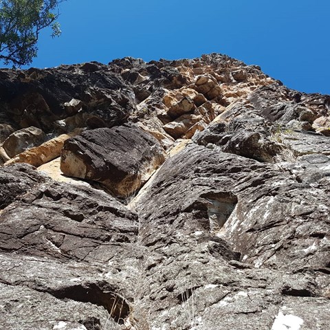
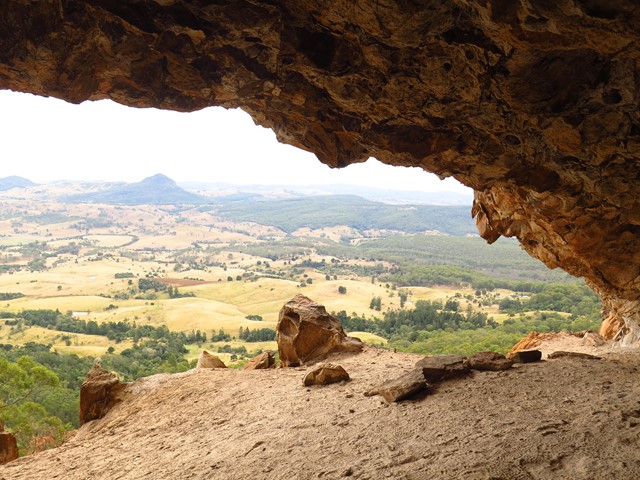
Mount Maroon Caves
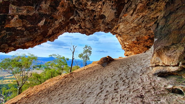
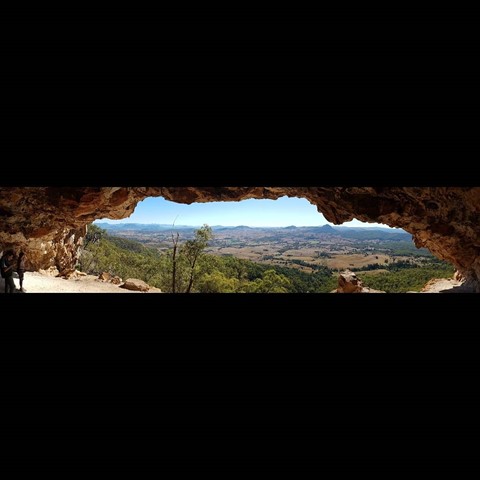
A walk up from Cotswold trailhead to a cave on the northern side of the mountain. Off track bush-bashing and some climbing.

 12.9
km
return
6
hrs
12.9
km
return
6
hrs
Mount Maroon Southern Route
This alternate route up Mount Maroon begins from the end of Dynans Hut Road following the fire trail until Paddy Plain Remote Bush Camp after which the small creek named Paddys Gully is followed upstream for a short way before turning right at the fork in the creek and following this mostly dry tributary up the Southern flanks of Mount Maroon. The exposed creek bed is followed up hill for a while until you exit it on the righthand side to join the forested gully you follow for the majority of the way up until the plateau. Once the plateau has been gained its not long until you run into the main tourist path and follow it up to the summit. Trail up the Southern flanks of Mount Maroon is off trail / overgrown and navigation skills will be needed.
9
km
return
5.5
hrs
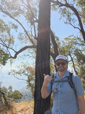
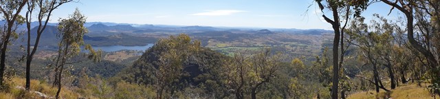
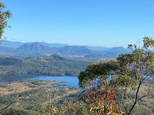
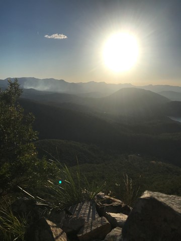
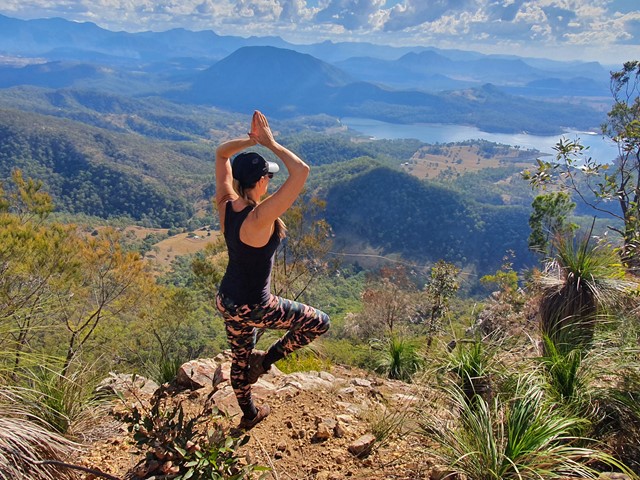
Mount May
A challenging half day circuit walk of Mount May with great views of the surrounding mountains.
 12
km
return
8
hrs
12
km
return
8
hrs
Mowburra Peak
A slightly less travelled walk up a steep grassy ridge and then disappear into rain forest to get to a small cleared rocky slab with wonderful views out to Mt Barney.