
Menu
Popular Walks
-
Mt Ngungun
(1138 ticks) -
Mount Coolum
(858 ticks) -
Mt Warning Summit Trail
(758 ticks) -
Mt Cordeaux
(655 ticks) -
Twin Falls Circuit
(625 ticks)
Popular Walks
-
Mt Ngungun
(1138 ticks) -
Mount Coolum
(858 ticks) -
Mt Warning Summit Trail
(758 ticks) -
Mt Cordeaux
(655 ticks) -
Twin Falls Circuit
(625 ticks)
Sub-Regions
Walks in Great Sandy National Park
(Wide Bay Burnett, Queensland)
 18
km
one-way
18
km
one-way
 5
hrs
5
hrs
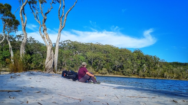
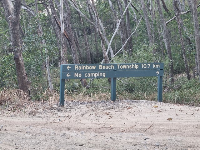
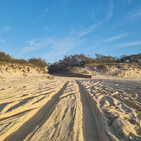
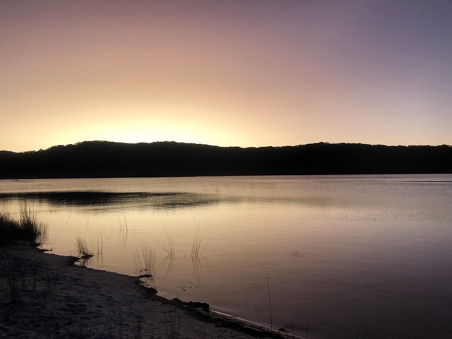
Cooloola Great Walk - S5 track to Freshwater Campground
Day 1 of the Cooloola Great Walk starting at the Rainbow Beach end but staying at the Freshwater campground rather than the walkers camp.
 20
km
one-way
5.5
hrs
20
km
one-way
5.5
hrs
Cooloola Great Walk - S6 track vis Leisha Track
Freshwater Campground to Rainbow Beach via Leisha Track
 88.1
km
one-way
5
days
88.1
km
one-way
5
days
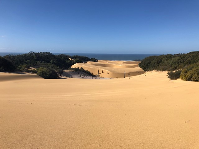
Cooloola Great Walk (original inland route)
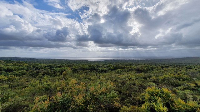
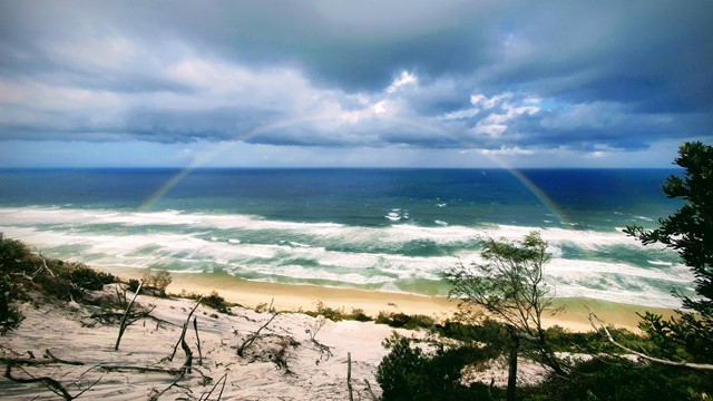
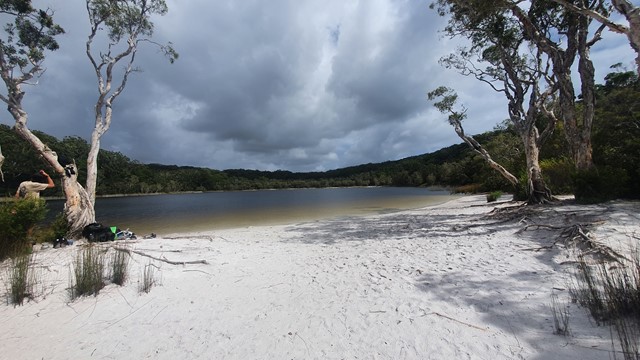
This is a 5 day hike starting at Noosa North Shore and ending at Rainbow Beach (or vice versa). The inland route is shorter, at 88.1km. This route includes Poona Lake on Day 5 (or Day 1 if you are walking North to South). The 4 campsites each have toilets (bring toilet paper) and water tanks. Do your homework, get the topo map, do the prep and you will have an awesome time. The Cooloola Sandpatch, Carlo Sandblow and Poona Lake are highlights, but the scenery is breathtaking at many points along the way. I have downgraded the difficulty to medium as while at times the going is hard because of the distance, overall the hiking isn't that hard and if you're doing a multi-day you've probably done some training, yes?
 52
km
2
days
52
km
2
days
Cooloola Widerness Trail
An interesting longer walk that can be done in two full on days or easy three days.
 1.2
km
return
20
mins
1.2
km
return
20
mins
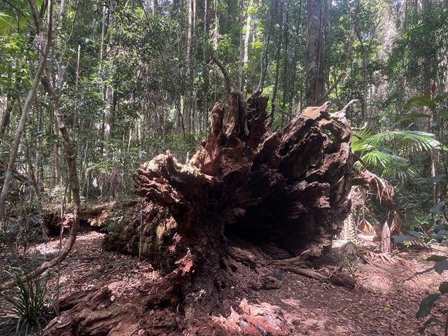
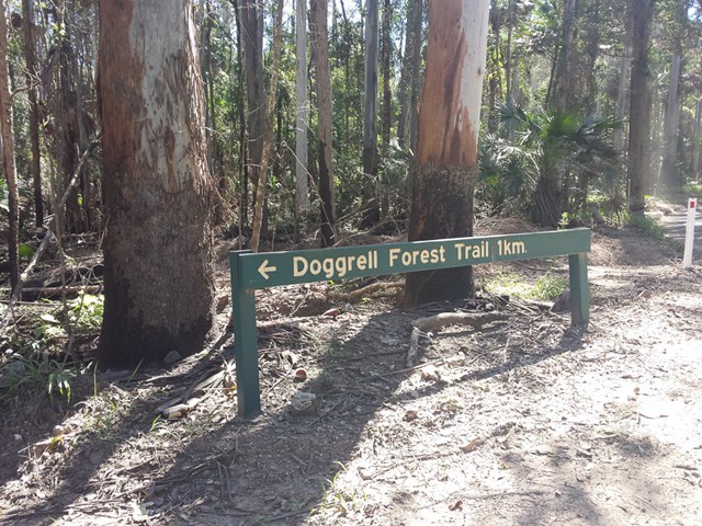
Doggrell Forest
This is a short relaxing walk through the Dogrell Forrest.
Worth it if you are traveling along the Pomona Kin Kin road and need to stretch your legs.
 2.1
km
return
1
hr
2.1
km
return
1
hr
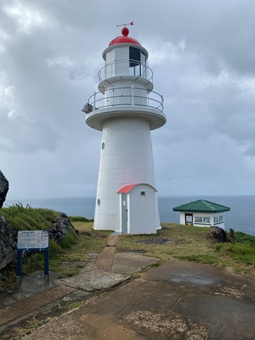
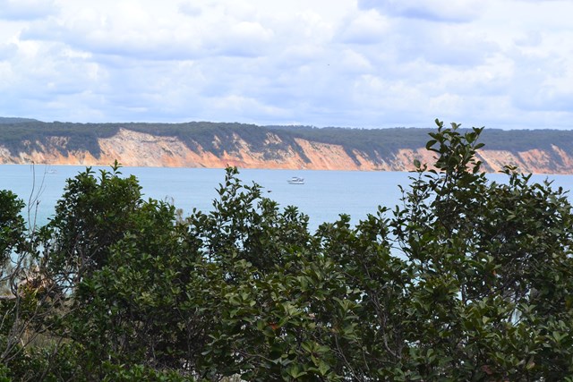
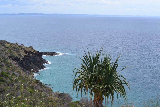
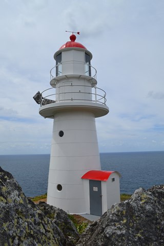
Double Island Point Light House
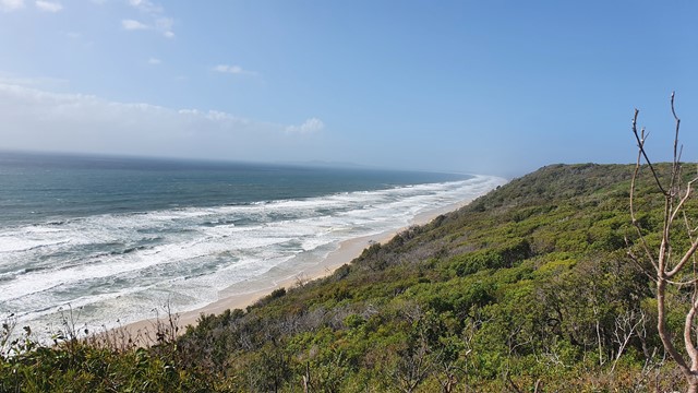
Enjoyable walk to the light house and back. Great views of the coast all the way north to the southern tip of Fraser Island. This walk is possible from The eastern end of Teerwah beach or the far northern end of Noosa north shore beach.
 17.2
km
one-way
6
hrs
17.2
km
one-way
6
hrs
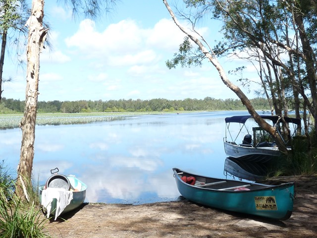
Elanda Point to Harry's Hut
Great day out, however you need to keep moving to get around. Easy walking but a little tricky as the bridge is out, you can either swim (as I did) or cross country around kin Kin creek and cross over the concrete bridge 1km west of the old bridge.
10.6
km
one-way
3.5
hrs
Elanda to Fig Tree Point
Stroll through the Cooloola wilderness to the pleasant Fig Tree Point campground.
Note (29/10/2020): The southern section of the Cooloola Wilderness Trail from Elanda Point to Fig Tree Point is not accessible due to the Kin Kin Creek walk bridge having washed away during flooding. Planning for a new bridge is underway (ref https://parks.des.qld.gov.au/parks/cooloola/camping/figtree-point)
 76.6
km
one-way
76.6
km
one-way
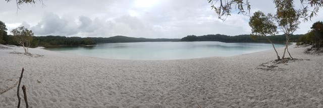
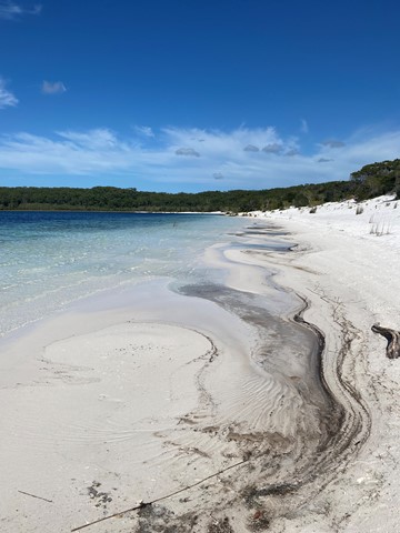
Fraser Island
Kingfisher - Lake McKenzie - Central Station - Lake Boomanjin - Dili Villiage - Jabiru Swamp - Hook Point
Walking on Fraser is a must-do! It's beautiful and unique. The walking tracks are separate to the vehicular tracks, so it feels like you are really in the guts of nowhere with no one else anywhere nearby, when in fact, if you need it, you can call a taxi and get the heck out of dodge if something crops up. The campsites at almost all the locations are fenced, have gear lockers , a wooden platform and a cleared area for your tent. All the sites have a separate camping area for hikers. The best thing about walking on Fraser is that you don't need to stress out about water because it's everywhere all year round, whatever the weather.
 83
km
one-way
5
days
83
km
one-way
5
days
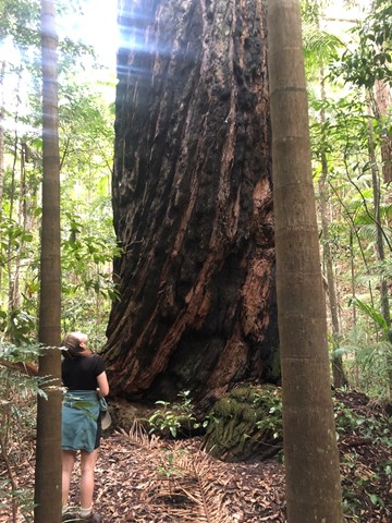
Fraser Island Great Walk
Well marked bushwalk through some of the best parts of Fraser Island. Typically walked South to North- Dilli Village - Lake Benaroon - Central Station - Lake McKenzie - Lake Wabby - Valley of the Giants - finishing at Happy Valley, however some hikers walk it the other way around.