
Menu
Popular Walks
-
Mt Ngungun
(1145 ticks) -
Mount Coolum
(864 ticks) -
Mt Warning Summit Trail
(759 ticks) -
Mt Cordeaux
(659 ticks) -
Twin Falls Circuit
(630 ticks)
Popular Walks
-
Mt Ngungun
(1145 ticks) -
Mount Coolum
(864 ticks) -
Mt Warning Summit Trail
(759 ticks) -
Mt Cordeaux
(659 ticks) -
Twin Falls Circuit
(630 ticks)
Sub-Regions
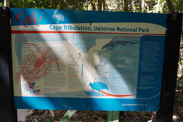
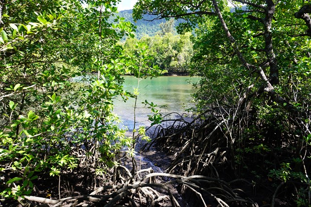
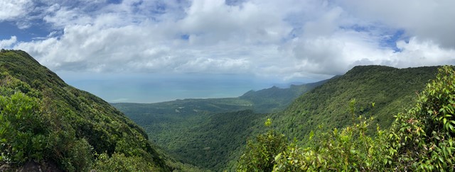
Walks in Daintree National Park
(Far North Queensland, Queensland)
 600
m
return
600
m
return
 15
mins
15
mins
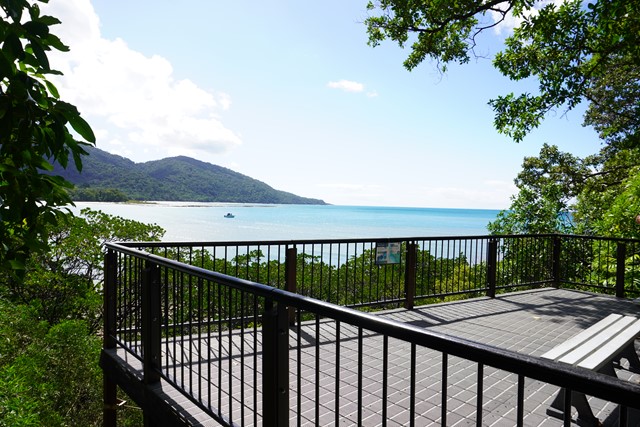
Kulki Boardwalk
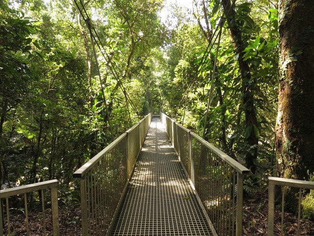
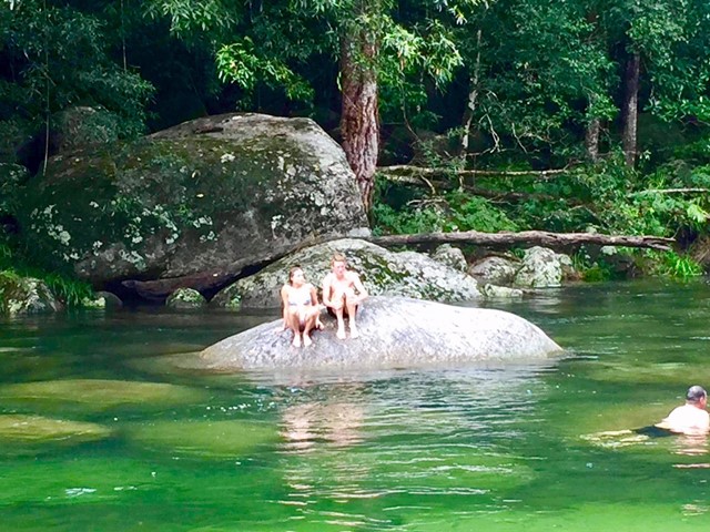
Kulki day-use area has a boardwalk leading from the picnic area to a viewing platform overlooking the ocean and beach. A short walk from the Kulki car park takes you to beautiful Myall Beach. Toilets and picnic tables are provided.
 1
km
return
30
mins
1
km
return
30
mins
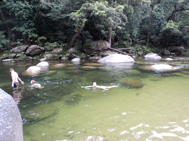
Lower River Track
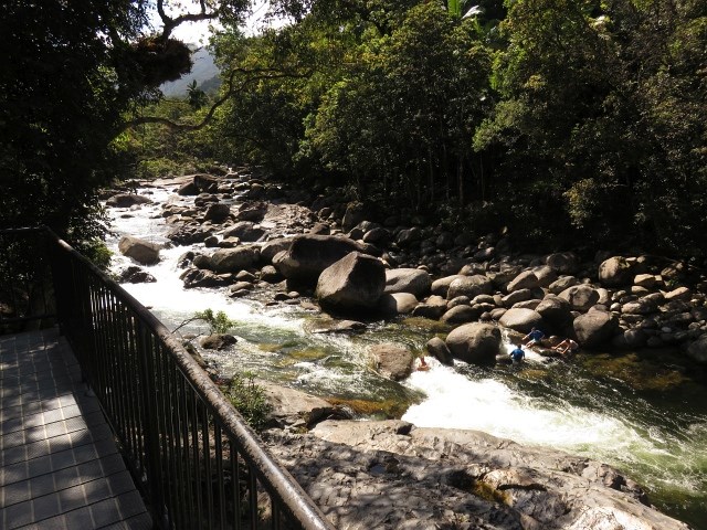
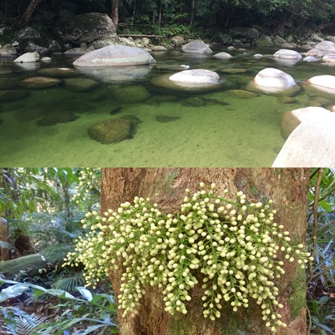
Located in the southern part of the World Heritage Listed, Daintree National Park, Mossman Gorge is one of the few places in the country that visitors can gain an insight into the lives, culture and beliefs of Australia’s Indigenous population and their connection to the natural environment. Walk along the creek and enjoy the Mossman Gorge in all its beauty.
 1.2
km
return
45
mins
1.2
km
return
45
mins
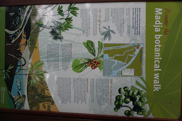
Madja Botanical Walk
Madja is one of the few places where plants, representing all stages of the evolution of land plants over the last 400 million years, are found.
 8.5
km
return
5.5
hrs
8.5
km
return
5.5
hrs
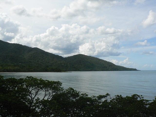
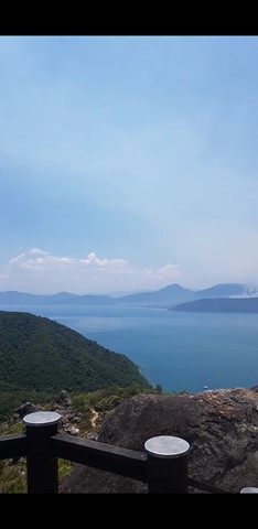
Mt Sorrow Ridge Walk
This track is a beautiful but hard walk just out of Cape Tribulation township. The trail climbs from the coastal lowlands of Cape Tribulation, up the rainforest-clad ridge of Mount Sorrow to a viewing platform, offering views of the beautiful Daintree coastline, Cape Tribulation Beach, Snapper Island and beyond.
 5
km
return
90
mins
5
km
return
90
mins
Rainforest Circuit
Located in the southern part of the World Heritage Listed, Daintree National Park, Mossman Gorge is one of the few places in the country that visitors can gain an insight into the lives, culture and beliefs of Australia’s Indigenous population and their connection to the natural environment.
 3.6
km
return
2
hrs
3.6
km
return
2
hrs
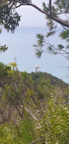
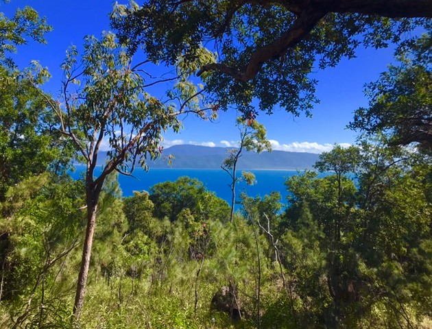
Lighthouse Road
Follow the steep, concrete service road as it climbs through rainforest to the old lighthouse. From the lighthouse, enjoy spectacular ocean views and in winter look for the occasional migrating humpbackwhale.
1.2
km
return
45
mins
Nudey Beach Track
Venture through rainforest and coastal woodlands, along the bitumen track with uneven rock steps and boulders in some sections, to reach this picturesque, iconic beach. Swim and snorkle at Nudey Beach or just settle in the shade with your picnic lunch.
700
m
return
25
mins
Secret Garden Track
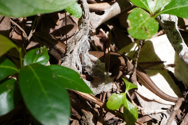
On this short rocky track through sheltered rainforest, discovery some of the rainforest animals and plants. Learn about their secrets and their significance to the Gunggandji people. This track includes some uneven rock steps.
 4
km
return
3
hrs
4
km
return
3
hrs
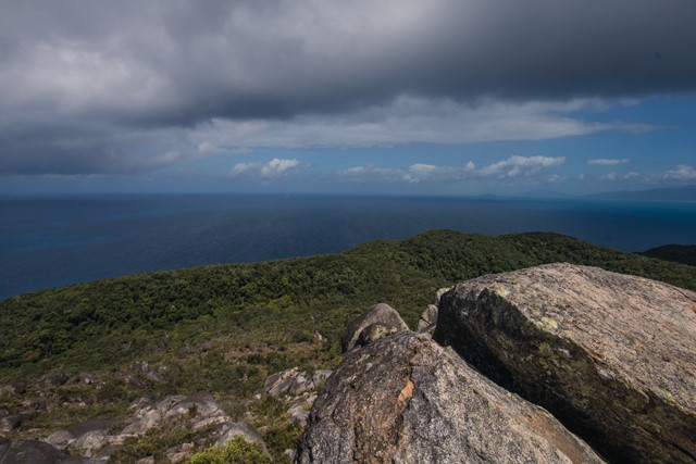
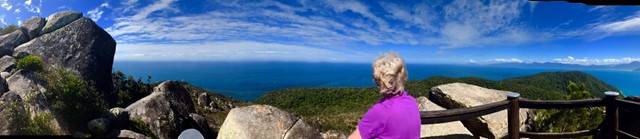
Summit Track
Track to the summit of Fitzroy Island with fantastic 360 degree views at the top. It’s a 3.6km return track (375m) and requires moderate level of fitness due to steepness. Track is located within Fitzroy Island National Park.
Walks in Wooroonooran National Park
(Far North Queensland, Queensland)
19.5
km
one-way
Goldfield Trail
The Goldfield trail follows a 19 km historic path through the rainforest of Wooroonooran National Park. It crosses numerous picturesque creeks and climbs over a low saddle between Queensland’s two highest peaks, Bartle Frere and Bellenden Ker.