


 Mt Greville (GPX)
 6.5
6.5 4
4- Mt Greville (Moogerah Peaks National Park)
- Mt Greville via Razor back ridge, waterfall Gorge, Bare rock, the ladder, the peak (Moogerah Peaks National Park)
- Mt Greville waterfall gorge, Northern face (Moogerah Peaks National Park)
- Mount Moon (South East Queensland)
- Mount Edwards (Moogerah Peaks National Park)
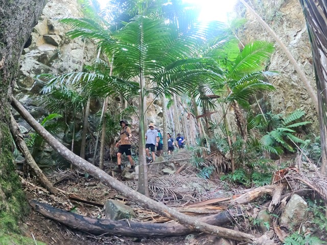
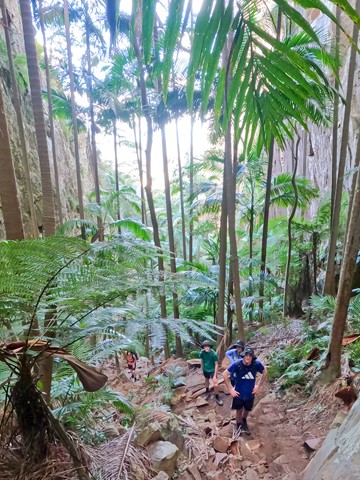
Mt Greville: Waterfall Gorge/Palm Gorge circuit
Moogerah Peaks National Park
Menu
GPS Tracks
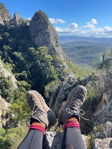

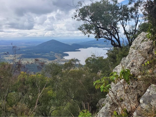

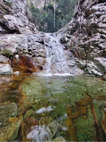
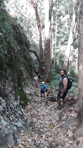
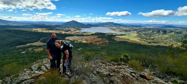
A rewarding walk up to the summit of Mt Greville via two beautiful gorges. There are also some great Scenic Rim views. This track uses Waterfall Gorge in ascent, and Palm Gorge in descent.
Lookouts
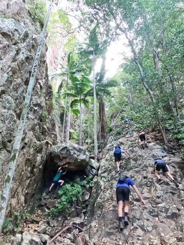
Scrambling or Climbing
Rainforest
Eucalypt Forest
770m
Maximum Elevation
570m
Total Climb
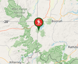
Getting there
Take the Cunningham Highway to Aratula, then 4km past the Aratula Hotel, turn left into Lake Moogerah Road (signed Spicers Gap). Drive about 11km (some gravel) then turn right into Mt Greville Road. The carpark is about a kilometre up on the right. Lake Moogerah Road also, connects to the Kalbar-Boonah road if coming from that direction.
Maps
QTopo: Mt Greville
Route/Trail notes
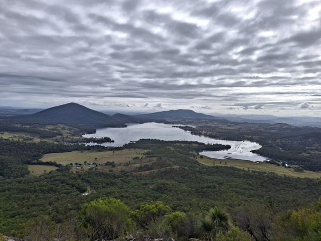
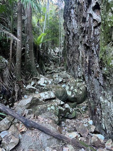
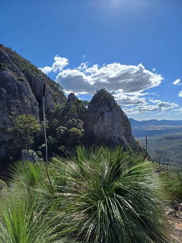
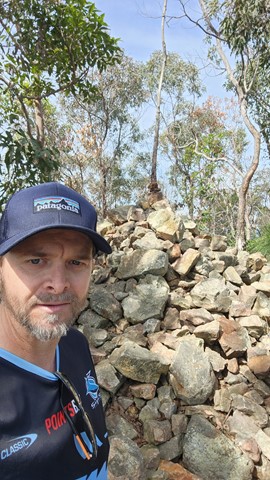
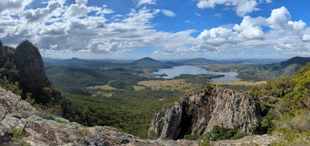
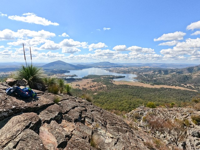
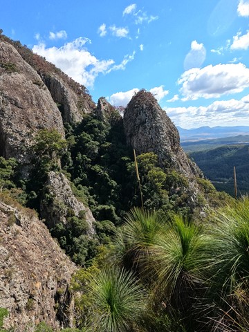
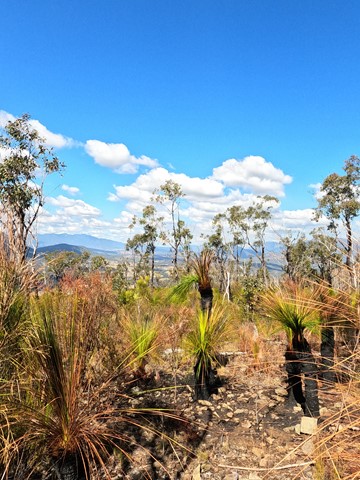
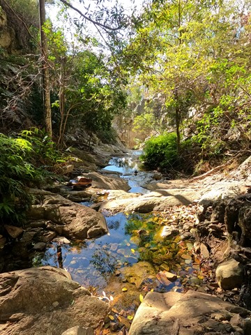
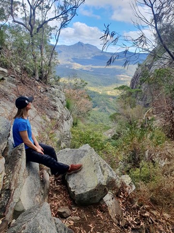
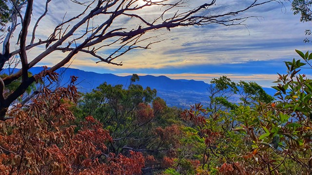
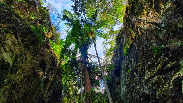
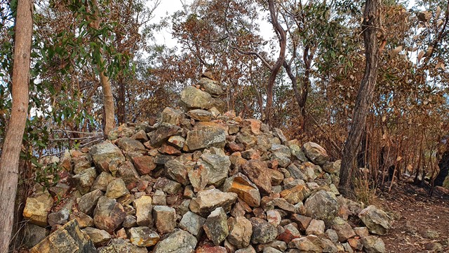
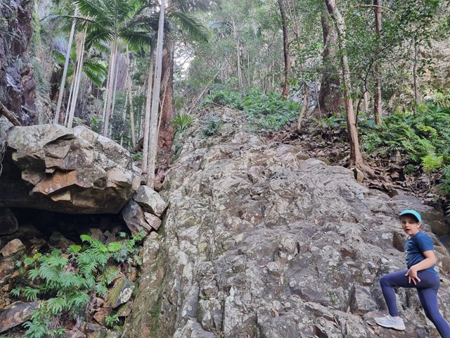
From the carpark walk up a service road to a sign pointing to Waterfall Gorge to the right. After a couple of hundred metres up a ridge the trail drops steeply down into the gorge. Follow the creek going upstream. There is no navigational difficulty walking/climbing up the gorge. The small "waterfall" towards the top of the gorge is easy to get around going left. At the head of the gorge (about an hour from the carpark) follow the track to the right for a short time before you come to an informal campsite near a rocky slab with great views towards the east. Go back to the the campsite then the track leads uphill towards the summit. After a brief time you reach the summit cliffs. Follow these for several hundred metres keeping the cliffs to your right, generally gaining, but sometimes losing elevation. Eventually you will come to an obvious T-junction, where you turn right, and after a few minutes you will reach the summit, with a large cairn and views towards Main Range.
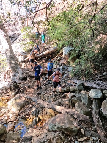
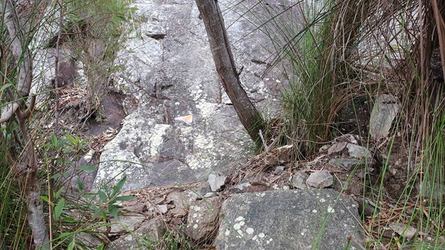
Backtrack to the T-junction then go straight ahead (turning left taking you back to Waterfall Gorge). After a few hundred metres a short track to the right leads you to the top of another small gorge where there are views to the southwest. Not long after the sidetrack there is a Y-junction, with the Palm Gorge track going down to the right (turning left will lead you down to Southeast Ridge). It's easy to find your way down the gorge, with no chance of getting lost (though a moderate chance of slipping).
Permits/Costs
N/A
Other References
N/A
GPS Tracks
Where
Click here to load this map.
Comments