
Menu
Popular Walks
-
Mt. Coot-tha Summit Track
(339 ticks) -
Somerset Trail
(302 ticks) -
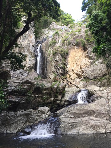
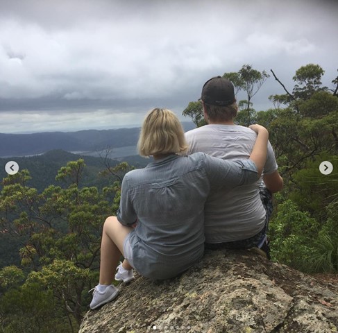
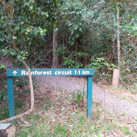
Greenes Falls via Rainforest Circuit + Cypress Grove Circuit
(238 ticks) -
The Northbrook River Trail (Northbrook Gorges)
(217 ticks) -
Enoggera Reservoir Circuit
(161 ticks)
Summary
Declared a national park in 1977 approx size 28 500 hectares second largest park in south east queensland. Originally settled by timber cutters approx 1870. Gold was discovered in mid 1800's there are many mines scattered throughout Cedar creek areas. The area is made up of D'Aguilar National Park, Jollys Lookout National Park, Maiala National Park, Boombana and Manorina National Parks. On Brisbanes door steep.
Popular Walks
-
Mt. Coot-tha Summit Track
(339 ticks) -
Somerset Trail
(302 ticks) -
Greenes Falls via Rainforest Circuit + Cypress Grove Circuit
(238 ticks) -
The Northbrook River Trail (Northbrook Gorges)
(217 ticks) -
Enoggera Reservoir Circuit
(161 ticks)
Parent Regions
Sub-Regions
History
The area has a history of Timber cutting, gold mining, farming, housing and eventually National Parks.
Features
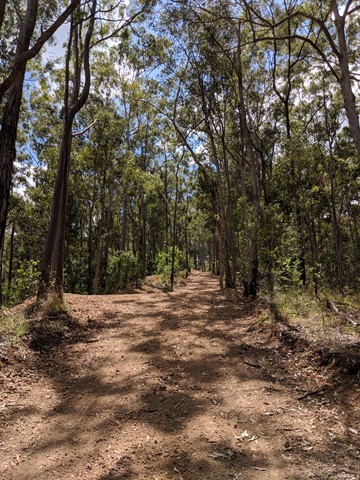
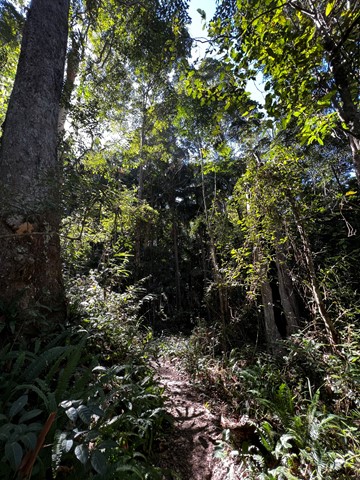
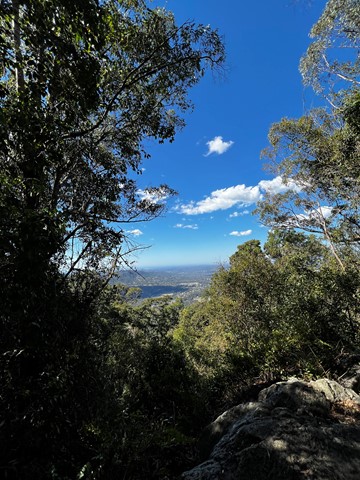
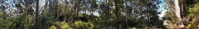
So many diverse areas ranging from rainforest to open eucalypt forest.
WARNING{ As at 13'1/11 there are many washouts of the fire trails. Lawnton Rd.and Eng;and Creek Road are cut in at least two places before the camp grounds!!
Access
Go along to 60 Waterworks Road. The Brisbane Forest Park information Centre is there. Also a Brisbane City Council bus goes right to the door of the Information Centre.
Maps
Maps are available from Brisbane Forest Park. D'Aguilar Range.
Accommodation
Bed & Breakfast on MT. Glorious, plus so close to Brisbane
Camping
Check with Brisbane Forest Park for further details
Contact details
Brisbane Forest Park 1300 130 372
Brisbane City Council 07 3403 8888
https://parks.des.qld.gov.au/parks/daguilar/
Walks in D'Aguilar National Park

 9.14
km
return
9.14
km
return
 3
hrs
3
hrs
Light Line Rd Kholo to Mermaid Mountain
Amazing walk worth the views. This is the shortest and most direct route to get to the lookout.
 1
km
return
30
mins
1
km
return
30
mins
Lophostemon Walk
A short circular stroll following and crossing Neurum Creek.
4.7
km
return
3
hrs
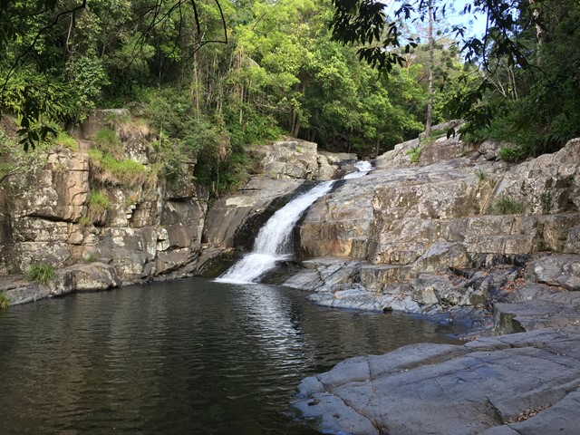
Love Creek Falls
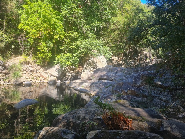
Rock hop up Cedar Creek past Cedar Falls and take the right turn onto Love Creek then follow it to Love Creek Falls.

 18
km
return
5
hrs
18
km
return
5
hrs
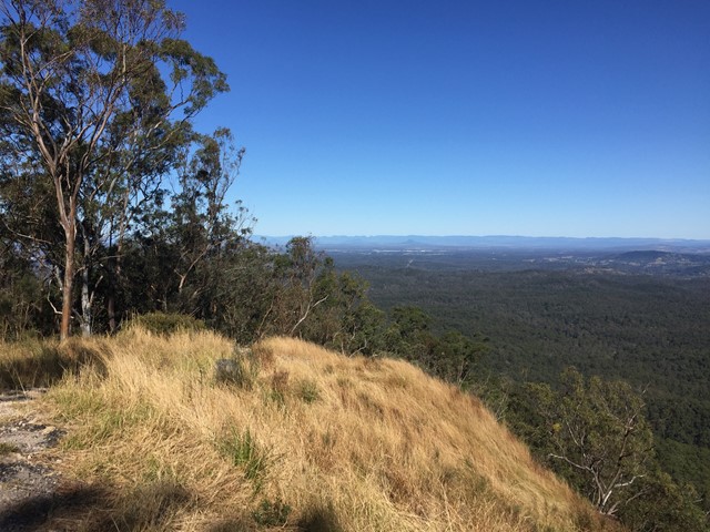
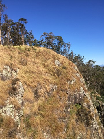
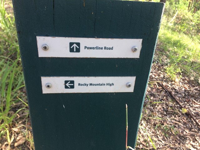
Mermaid Mountain
Bush walk from Mt Crosby (town) to Mermaid mountain in Brisbane Forest Park. Lots of uphill tracks and great view of Lake Manchester and surrounding hills from the top.
Entrance for walk from Wirrabara Road, which is off Mount Crosby Road.
Start on the Powerline Road firetrail then turn left onto Rocky Mountain High Break. After about 9kms you will reach the view!
Finally, return to Wirrabara Road via the same path in reverse.
 10
km
4
hrs
10
km
4
hrs
Middle Kobble bush camp walk
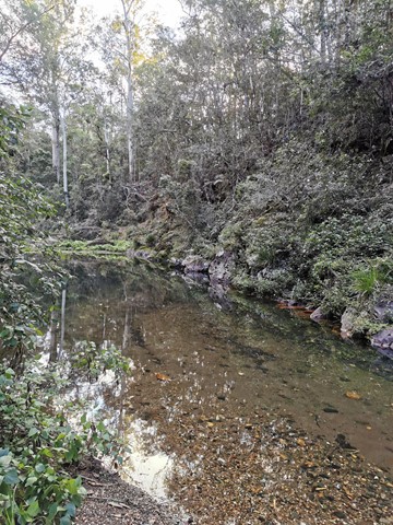
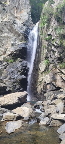
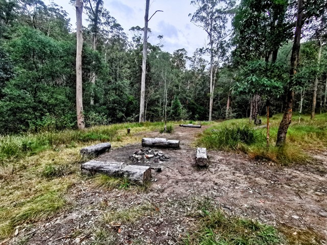
Remote bush camping in an open grassy area next to Kobble Creek, in the remote northern section of the park. A short walk takes you to the top of the Kobble Creek waterfall. Keep an eye out for the prehistoric-looking Lepidozamia (cycads) on your walk to the bush camp. Skinks and keelbacks (freshwater snakes) can be seen basking on the rocks at the top of Kobble Creek waterfall. Bottlebrush plants flower along the creek beside the bush camp in spring.
 1.3
km
return
1
hr
1.3
km
return
1
hr
Mill Rainforest Walk
Part of the Mt Mee section of the D'Arguilar National Park.
This subtropical rainforest track provides great opportunities for birdwatching. The track entrance is accessed by a short unsealed formed gravel road
 6
km
return
2
hrs
6
km
return
2
hrs
Morelia Track
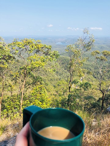
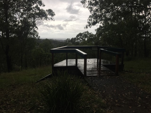
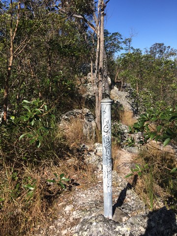
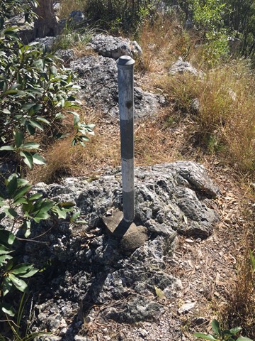
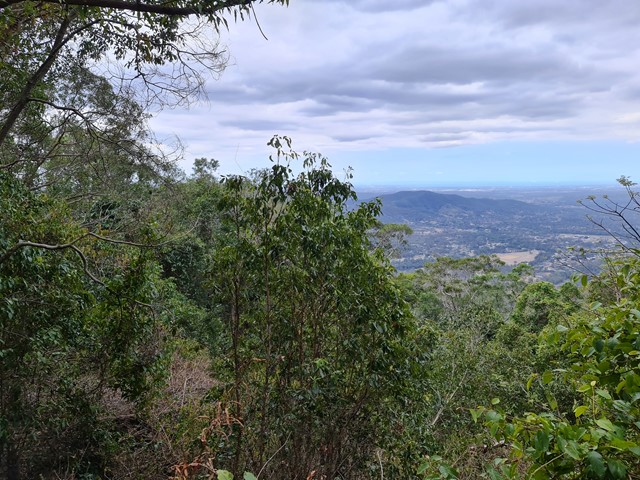
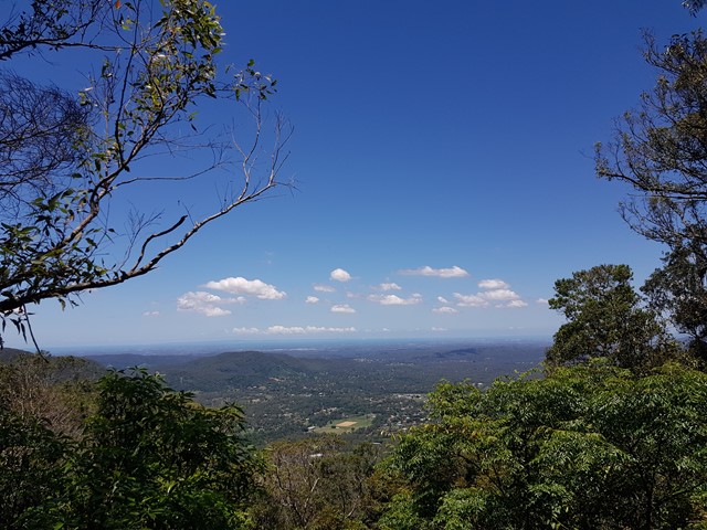
This track takes walkers from the Manorina car park to Mount Nebo lookout. Trek through wet eucalypt forest containing groves of cabbage tree palms, recognised by their huge, fan-shaped leaves. At Mount Nebo lookout, enjoy spectacular views over the Samford Valley to Moreton Bay. The track is well defined and gently-sloping. Keep your eyes peeled for a few of the old track markers with distances marked in miles.
 5
km
return
90
mins
5
km
return
90
mins
Mount Byron
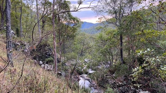
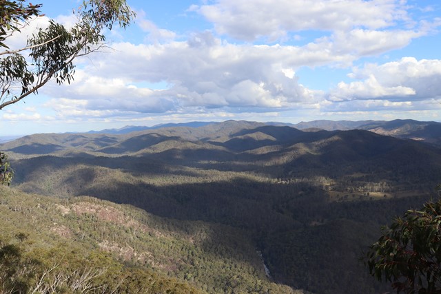
Out and back trail to Mount Byron that can be accessed by 4wd or added onto a walk of the Somerset Trail. Walk is initially along fire trail up and over the summit of Mount Byron before it ends on the far side from there continue along single trail to enjoy views from the cliff line on the Southern side of Mount Byron.
 6
km
return
2
hrs
6
km
return
2
hrs
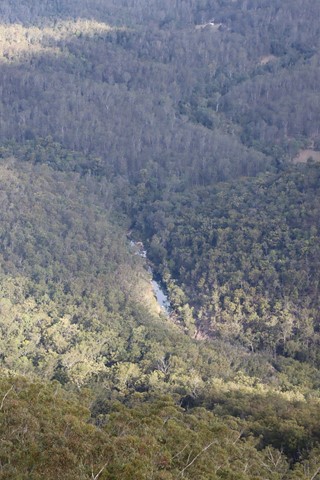
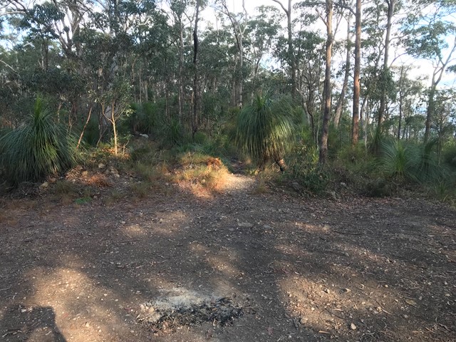
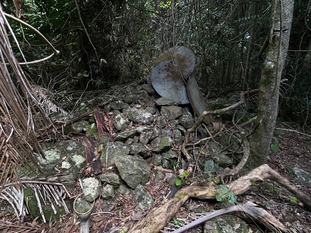
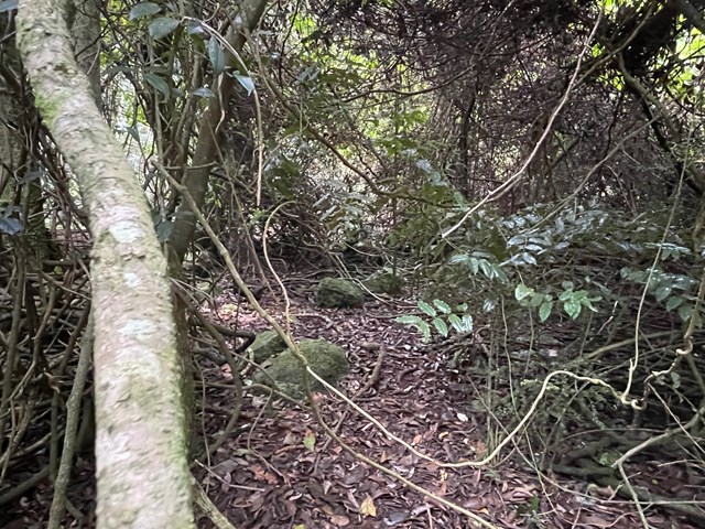
Mount D Aguilar
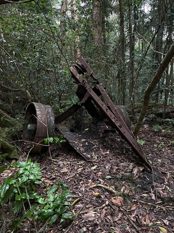
A walk to the titular peak of the D'Aguilar National Park, which can easily be combined with a side trip to the Piper Comanche wreck.