
Menu
Popular Walks
-
Mt. Coot-tha Summit Track
(339 ticks) -
Somerset Trail
(302 ticks) -
Greenes Falls via Rainforest Circuit + Cypress Grove Circuit
(238 ticks) -
The Northbrook River Trail (Northbrook Gorges)
(217 ticks) -
Enoggera Reservoir Circuit
(161 ticks)
Summary
Declared a national park in 1977 approx size 28 500 hectares second largest park in south east queensland. Originally settled by timber cutters approx 1870. Gold was discovered in mid 1800's there are many mines scattered throughout Cedar creek areas. The area is made up of D'Aguilar National Park, Jollys Lookout National Park, Maiala National Park, Boombana and Manorina National Parks. On Brisbanes door steep.
Popular Walks
-
Mt. Coot-tha Summit Track
(339 ticks) -
Somerset Trail
(302 ticks) -
Greenes Falls via Rainforest Circuit + Cypress Grove Circuit
(238 ticks) -
The Northbrook River Trail (Northbrook Gorges)
(217 ticks) -
Enoggera Reservoir Circuit
(161 ticks)
Parent Regions
Sub-Regions
History
The area has a history of Timber cutting, gold mining, farming, housing and eventually National Parks.
Features
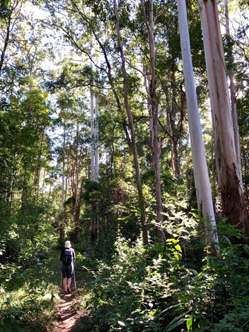
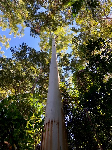
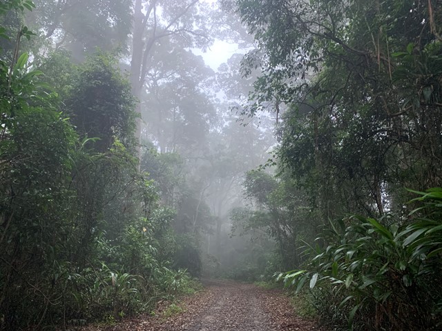
So many diverse areas ranging from rainforest to open eucalypt forest.
WARNING{ As at 13'1/11 there are many washouts of the fire trails. Lawnton Rd.and Eng;and Creek Road are cut in at least two places before the camp grounds!!
Access
Go along to 60 Waterworks Road. The Brisbane Forest Park information Centre is there. Also a Brisbane City Council bus goes right to the door of the Information Centre.
Maps
Maps are available from Brisbane Forest Park. D'Aguilar Range.
Accommodation
Bed & Breakfast on MT. Glorious, plus so close to Brisbane
Camping
Check with Brisbane Forest Park for further details
Contact details
Brisbane Forest Park 1300 130 372
Brisbane City Council 07 3403 8888
https://parks.des.qld.gov.au/parks/daguilar/
Walks in D'Aguilar National Park

 15.25
km
return
15.25
km
return
 5.5
hrs
5.5
hrs
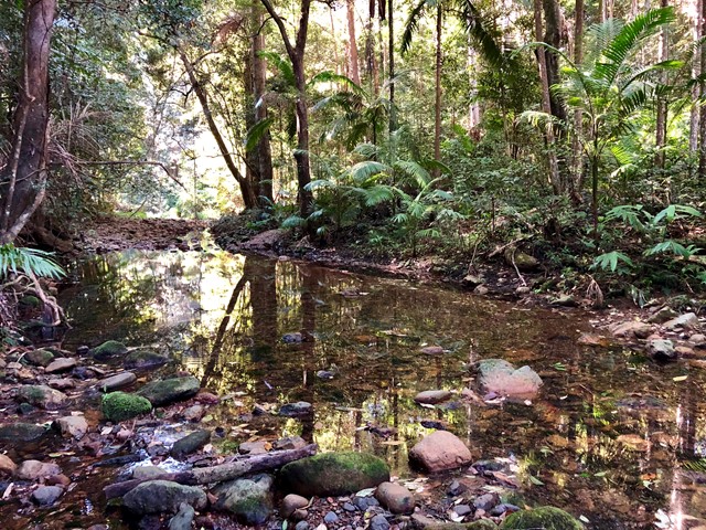
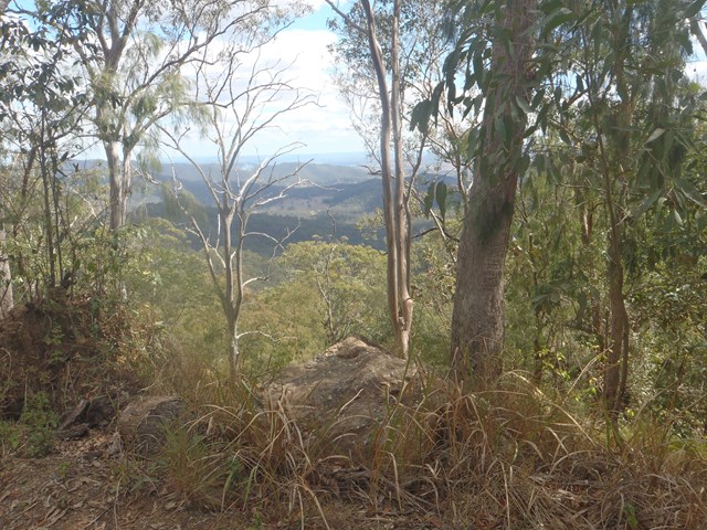
Byron Creek Circuit
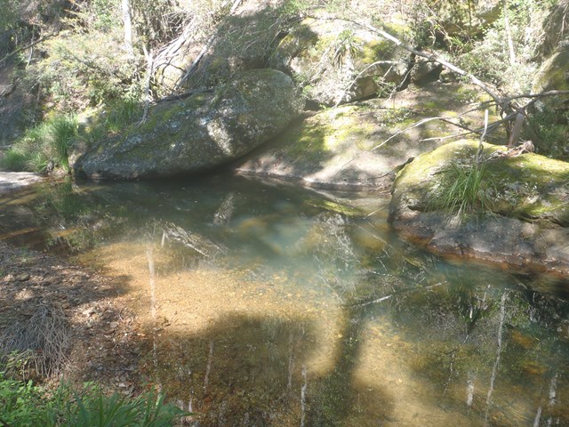
Walk in undulating country with some steep hills to Byron Creek with its crystal clear waters, waterholes as well as mountain top views from the ridges.

Cabbage Tree Creek bush camp
This open grassy bush camp is named after the nearby Cabbage Tree Creek, a tributary of Lake Manchester. It provides an excellent starting point to explore the creeks and peaks of this section of the park.
17.5
km
return
6
hrs
Cabbage Tree Range Loop
A longer walk that can be done in one day by those who can push the pace, or done over two for those choosing a more relaxing pace or with young children. Some steep sections in the latter half of the walk before reaching the Light Line Road bush camp; the campsite of choice for those doing it over two days.
 400
m
18
mins
400
m
18
mins
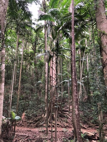
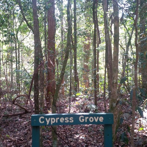
Cypress Grove
A small isolated cypress grove. An easy walk for most fitness levels.
 3
km
1
hr
3
km
1
hr
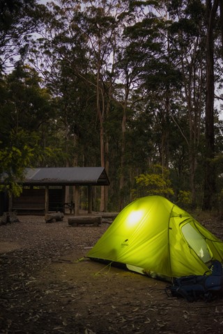
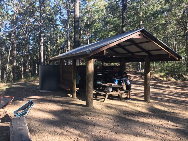
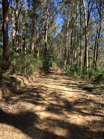
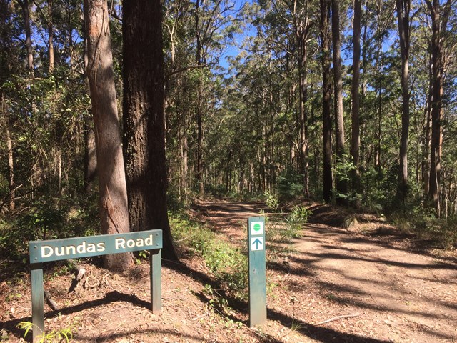
Dundas Road bush camp walk
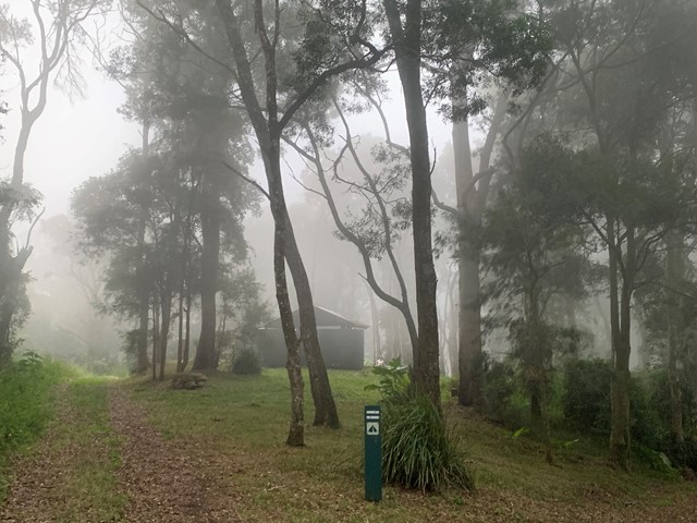
Dundas Road bush camp.Remote bush camping in open eucalypt forest. Enjoy picturesque wet eucalypt forest on your walk to the campsite. This campsite is the most accessible remote campsite in the park and suits overnight campers with some walking experience and fitness.
This is a great place to base yourself to go exploring other areas.
 1.5
km
return
30
mins
1.5
km
return
30
mins
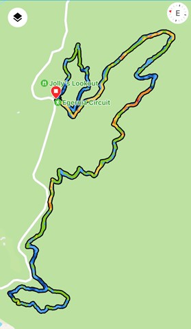
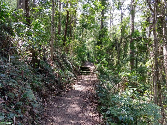
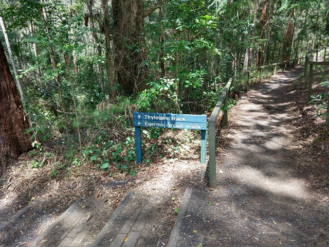
Egernia Circuit
From the road at the base of Jollys Lookout, this track loops through open eucalypt forest and back to the road. Parking is available at the lookout and at the walking track entrance below it. Early morning walkers may be rewarded with a host of different birdcalls to listen to.
 1.8
km
1
hr
1.8
km
1
hr
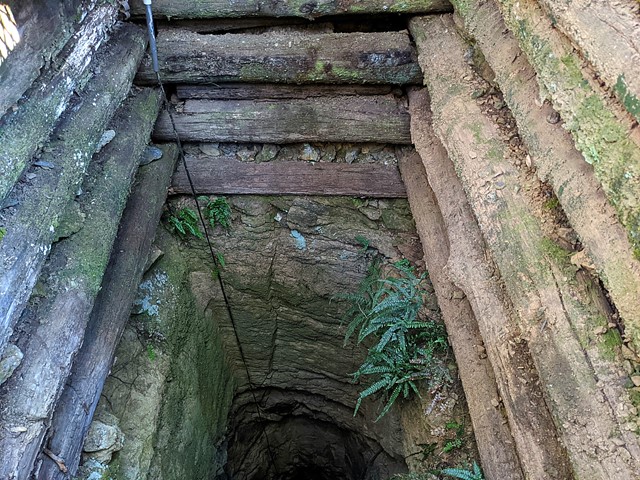
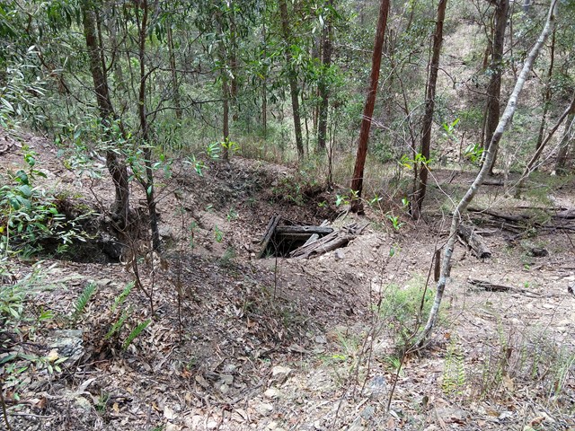
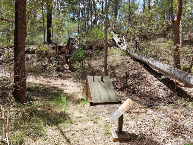
Golden Boulder Track
Cross the road and continue to the track shelter showing some history of the area then onto a plaque and continue along the track to a caged mine shaft. A worthwhile walk
 4.3
km
return
2
hrs
4.3
km
return
2
hrs
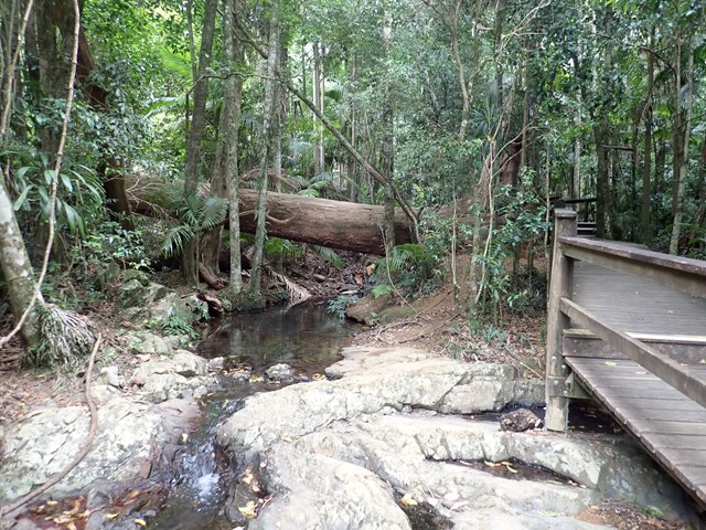
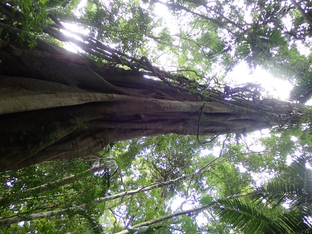
Greenes Falls via Rainforest Circuit + Cypress Grove Circuit
Greenes Falls Track is one of three connected walks, comprising of the Rainforest Circuit (2km return), Greenes Falls Track (+2.2km return) and the optional add-on of Cypress Grove Circuit (+500m), making a total walking distance of 4.7km. The small but beautiful trail network includes several boardwalk sections and sets of stairs, passing over rainforest pools and ending at a lookout above Greenes Falls. Be prepared for an uphill walk on the return trip. Parking is available at Maiala car park.
 2.5
km
one-way
90
mins
2.5
km
one-way
90
mins
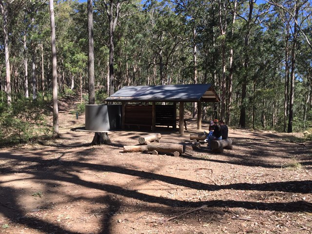
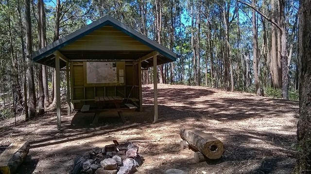
Lepidozamia Remote Bush Camp
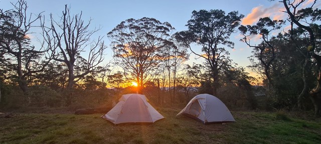
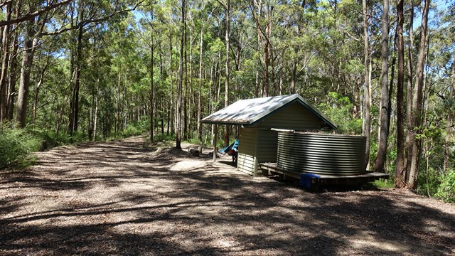
A pleasant 2.5km walk along a well maintained access track through rainforest and wet eucalypt forest leading to a spacious, well equipped remote campsite. The campsite offers a hut with benches and a picnic table, two large water tanks, and seating around a fire pit. There are sunset views over the range when looking to the west and, to the east, you can enjoy views of the sunrise, Moreton Bay, and Brisbane lights at night. If you’re lucky you will also see the fireflies flitting around the camp.
 3.6
km
3.5
hrs
3.6
km
3.5
hrs
Light Line bush camp walk
Remote bush camping in open eucalypt woodland surrounded by bloodwoods, grey gums and tallowwoods. The uncommon shrub, Goodenia ovata, shows off its yellow flowers in spring and autumn along the road edge on the walk in.