
Menu
Popular Walks
-
The Pyramid
(306 ticks) -
Table Top Loop
(219 ticks) -
Castle Rock
(181 ticks) -
Granite Arch
(175 ticks) -
The Sphinx and Turtle Rock
(126 ticks)
Summary
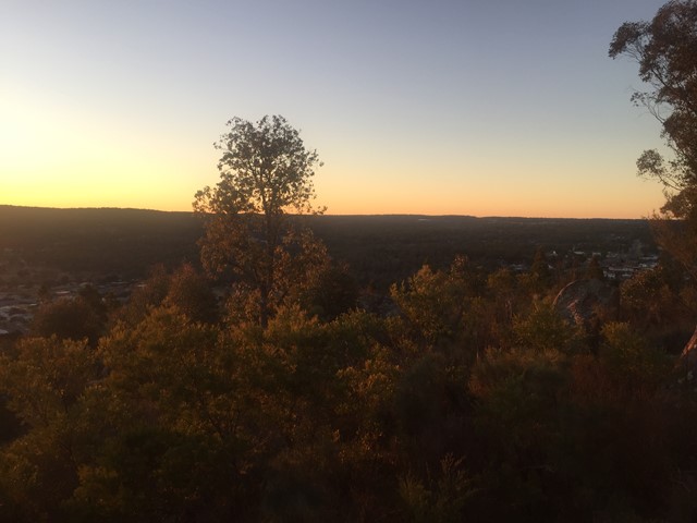
Boarding NSW and SA, this region is known for its ...
Popular Walks
-
The Pyramid
(306 ticks) -
Table Top Loop
(219 ticks) -
Castle Rock
(181 ticks) -
Granite Arch
(175 ticks) -
The Sphinx and Turtle Rock
(126 ticks)
Parent Regions
Sub-Regions
History
Any interesting history for the region?
Features
What are the standout bushwalking features?
Access
How do you get there? Include all access points if there are many?
Maps
Which maps cover the region?
Council Areas:
- Bulloo Shire
- Quilpie Shire
- Paroo Shire
- Murweh Shire
- Balonne Shire
- Maranoa Regional
- Goondiwindi Gegional
- Western Downs Regional
- Toowoomba Regional
- Souther Downs Regional
Contact details
See QLD National Parks
Walks in Darling Downs South West

 1.2
km
return
1.2
km
return
 20
mins
20
mins
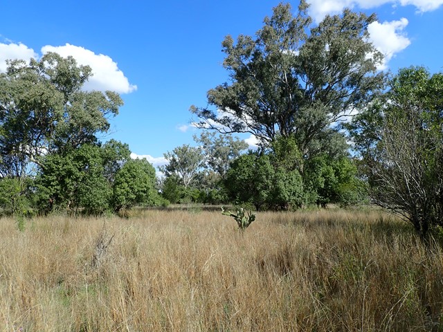
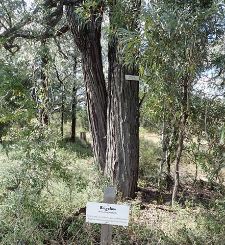
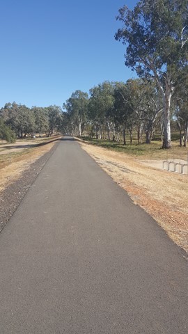
Irongate Conservation Park
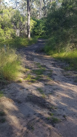
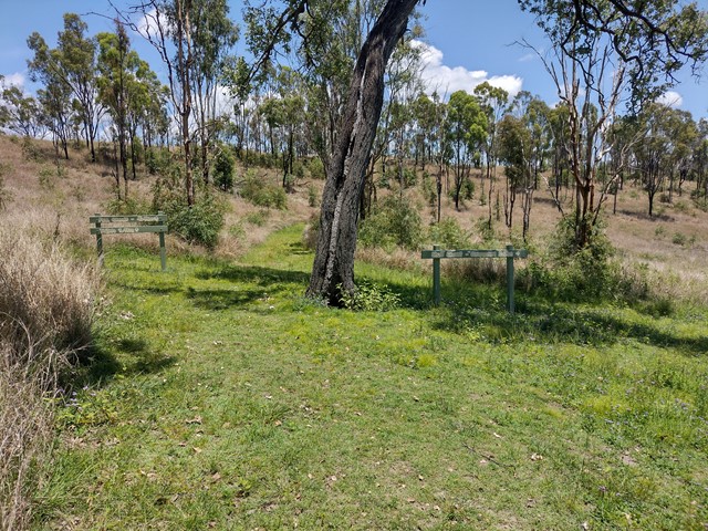
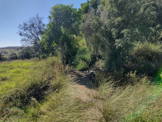
This loop track circles through brigalow, belah and eucalypt forest, with regular signage describing the native plants throughout the park. The dirt path is flat and clear to follow, and the park is home to many species of birds and reptiles.
Officially listed as Grade 2/Easy difficulty, this track is suitable for all ages and fitness levels.
 4.4
km
return
90
mins
4.4
km
return
90
mins
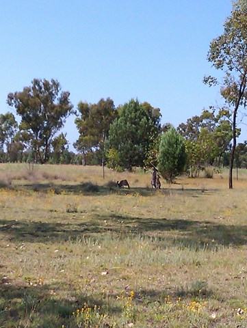
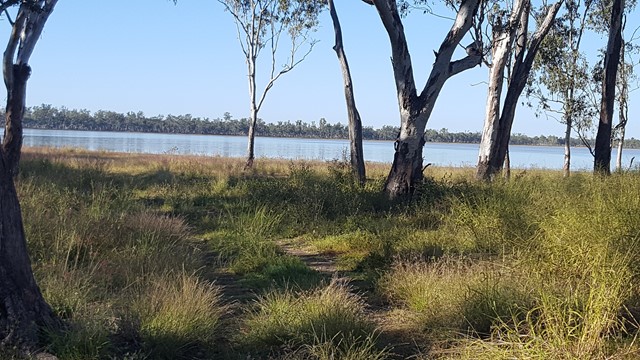
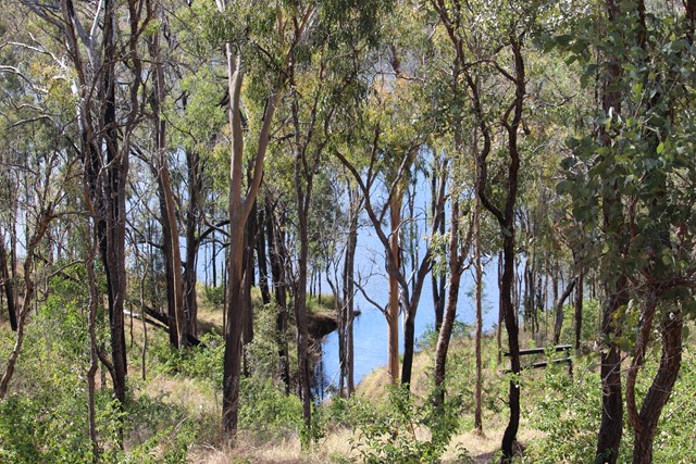
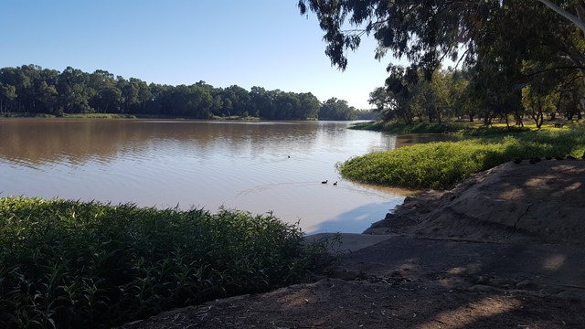
Lake Broadwater
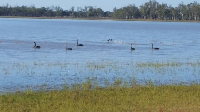
This track joins the two campgrounds. It starts just west of the campground and the lake and make its way around the lake before heading towards Wilga Bush Camp. There are lots of birds in the area. The track is mostly sandy but easy to follow. It passes the old dingo fence. There is also a lot of signage identifying trees.
 7.2
km
return
2
hrs
7.2
km
return
2
hrs
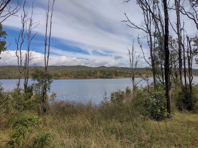
Lake Broadwater The Hide
This track along the lake's shore joins the two camping areas and down to the Hide. It passes the remains of a dingo fence built in the 1860s for St Ruth Station and promises you an abundance of bird and waterbird life.
 7.5
km
return
3
hrs
7.5
km
return
3
hrs
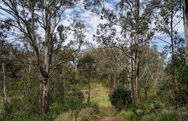
Lake Cressbrook Walking Track - Day Use Area to Full Circuit
This track starts at the Day Use Area at the end of Cressbrook Dam Access Rd, and connects to a network of trails through eucalypt bushland behind the camping ground. Great opportunity for birdwatching with many stretches overlooking the dam.
Officially listed as Grade 3/Medium difficulty (including rough surfaces, some inclines + limited signage in parts), this track is suitable for people with a moderate fitness level.
 1.5
m
return
45
mins
1.5
m
return
45
mins
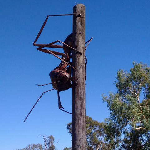
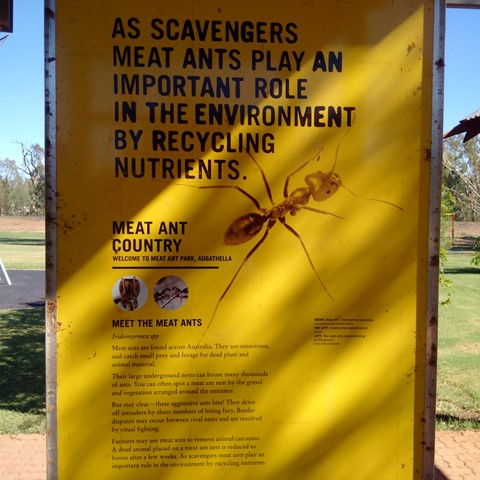
Meat Ant Park
Good for a stop and stretch your legs, when travelling on the Landsborough (Matilda) Highway between Barcaldine and Charleville or Roma, with a short stroll along the levee.
 1
km
return
30
mins
1
km
return
30
mins
Mt Basalt
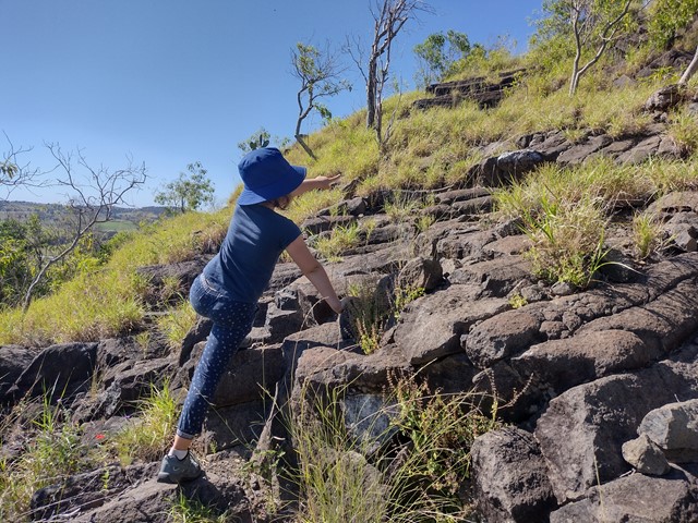
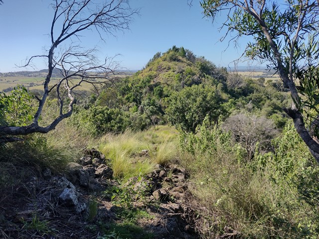
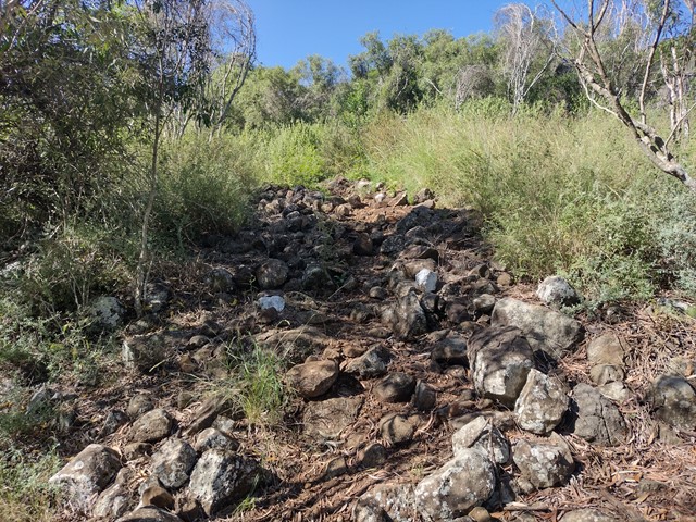
This unique geological and environmental area features rare volcanic formations and a few walking tracks that including rock-scrambling and lookouts with spectacular views.
Note: Officially listed as Grade 4/Hard (steep incline + scrambling + loose surface), this trail can still be a fun adventure for the whole family - please take caution near cliff-edges and wear suitable footwear.
 600
m
return
30
mins
600
m
return
30
mins
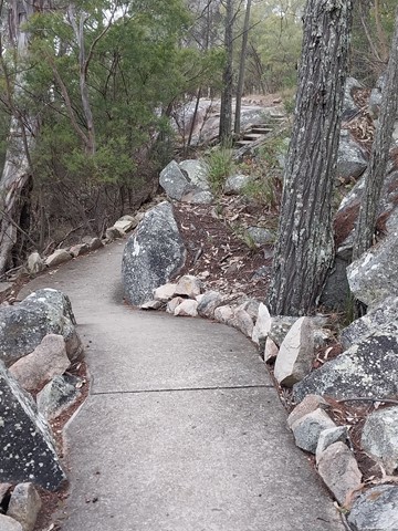
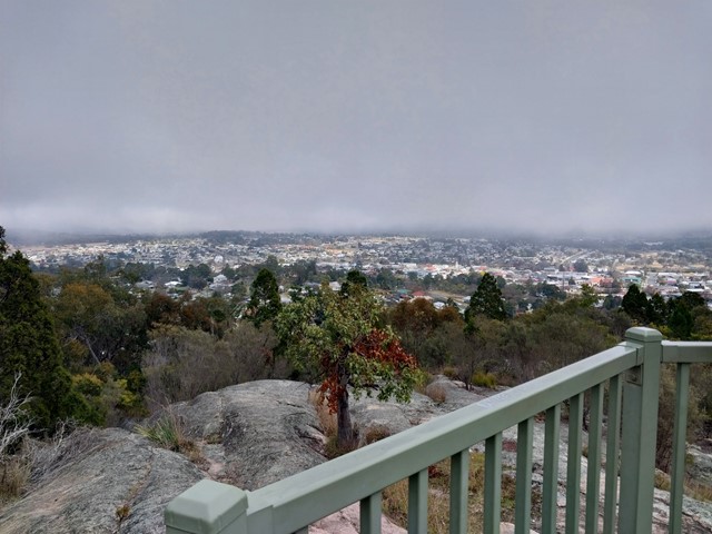
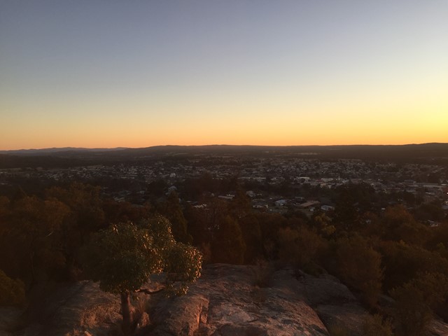
Mt Marlay Lookout & Summit Loop
A short loop walk from the lookout around the summit with views in each direction.
 7.2
km
return
70
mins
7.2
km
return
70
mins
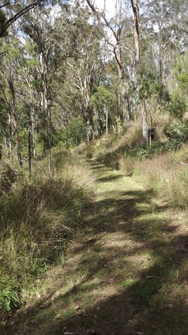
Munroe Tramway
An easy, well-maintained walk through bushland and farmland, including some short sections that join up with the dirt road.
Interpretive signs tell the history of the Munroe Tramway, and some lovely views/birdwatching opportunities.
Officially listed as Grade 3/Medium difficulty (including some uneven surfaces and mild inclines), this track is suitable for walkers of most ages and fitness levels.
 5
km
return
1
hr
5
km
return
1
hr
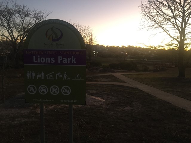
Quart Pot Creek Trails
Trails around Quart Pot Creek in the Quart Pot Creek Parklands in the centre of Stanthorpe.
 5.3
km
return
2
hrs
5.3
km
return
2
hrs
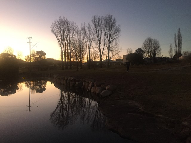
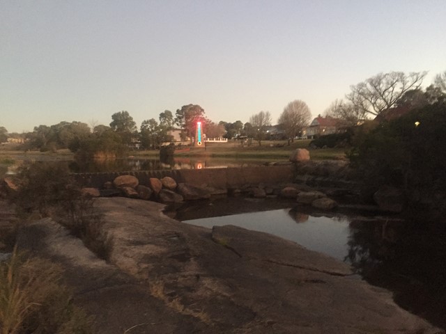
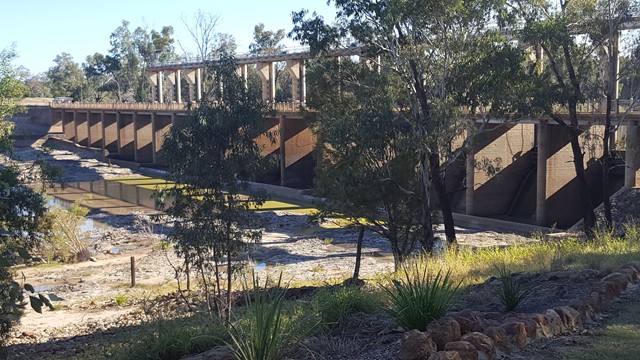
Riverbank Walkway
Car weary legs will appreciate this stretch of shady riverbank walkway flanking the town. A star feature, the Riverbank Walkway includes the Jack Taylor Weir and Andrew Nixon Bridge at the far end, with its commemorative stone to mark Sir Thomas Mitchell’s crossing of the Balonne River on St George’s Day back in 1846. Along the riverbank walkway, markers showcases the flood heights and history of the swollen Balonne River from years gone by.