
Munroe Tramway
Darling Downs South West


Menu
An easy, well-maintained walk through bushland and farmland, including some short sections that join up with the dirt road.
Interpretive signs tell the history of the Munroe Tramway, and some lovely views/birdwatching opportunities.
Officially listed as Grade 3/Medium difficulty (including some uneven surfaces and mild inclines), this track is suitable for walkers of most ages and fitness levels.

Getting there
From the top of the range, turn onto Esk-Hampton Rd at the Hampton Information Centre. Turn right onto Perserverence Hall Rd, which becomes a dirt road part-way along (suitable for 2WD). At the end of the road, turn right onto Palmtree Rd and you'll see the carpark almost immediately - it's the cleared grassy area on the left-hand side of the road, near the Toowoomba Regional Council Sign.
Maps
http://www.crowsnest.info/images/Ravensbourne/Tramway-brochure-150.pdf
Route/Trail notes
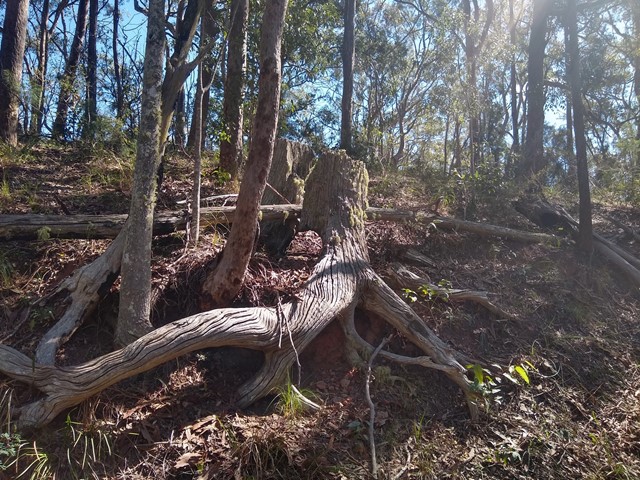
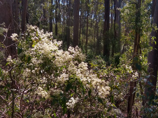
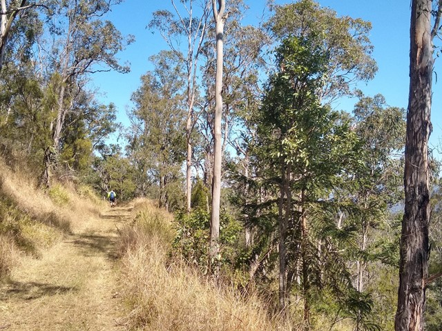
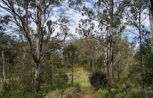
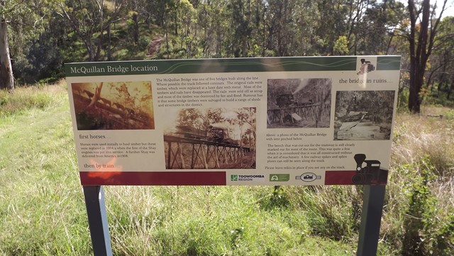
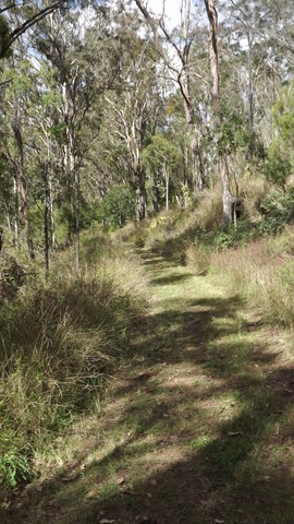
From the carpark, walk across Palmtree Road and enter the bushland to find the start of the trail, which is set back a few metres from the road. The trail is fairly wide and well signposted - the surface is a combination of grass and/or compacted dirt. Set out to the left, walking through thick bushland until the trail spills out onto the road briefly beore returning to bushland. The next section is more open, following the fenceline of several farming properties (BYO hat/waterbottle essential). This area is home to many small birds and some interesting plantlife. Joining the road a final time, turn right and head up the hill until you see the red-arrow sign that leads you back onto the trail. This is the hilliest section of the walk and includes the site of an old tram bridge. The final section of the track is mostly shady eucalpyt forest terrain marked by interpretive signs, a lookout towards Highfields, a small picnic area, and - beyond the white gate at the end of the trail - an old well (covered with a metal grid).
You could make this a longer walk by starting from the trailhead opposite the sportsground on the corner Esk-Hampton Rd and National Park Rd, however much of this section follows the roads so may be of less interest to the nature lover. (Note: If you have completed this section of the trail, please edit this description to add further details.)
Permits/Costs
Nil
Other References
Here is an accurate map and guide produced by the Munroe Tramway Historical Group:
http://www.crowsnest.info/images/Ravensbourne/Tramway-brochure-150.pdf
Here is a map and guide from the Toowoomba Walks and Trails Booklet, published by Toowoomba Regional Council. (Note: this is only a 3km section of the full 7.2km walk.)
https://www.tr.qld.gov.au/testcat/facilityrecreation/sportrecreation/munro-tramway-walking-trail-map
GPS Tracks
- No GPS available for this walk yet.
 7.2
7.2 70
70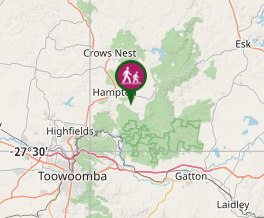
Comments