
Menu
Popular Walks
-
The Pyramid
(308 ticks) -
Table Top Loop
(220 ticks) -
Castle Rock
(182 ticks) -
Granite Arch
(176 ticks) -
The Sphinx and Turtle Rock
(126 ticks)
Summary
Boarding NSW and SA, this region is known for its ...
Popular Walks
-
The Pyramid
(308 ticks) -
Table Top Loop
(220 ticks) -
Castle Rock
(182 ticks) -
Granite Arch
(176 ticks) -
The Sphinx and Turtle Rock
(126 ticks)
Parent Regions
Sub-Regions
History
Any interesting history for the region?
Features
What are the standout bushwalking features?
Access
How do you get there? Include all access points if there are many?
Maps
Which maps cover the region?
Council Areas:
- Bulloo Shire
- Quilpie Shire
- Paroo Shire
- Murweh Shire
- Balonne Shire
- Maranoa Regional
- Goondiwindi Gegional
- Western Downs Regional
- Toowoomba Regional
- Souther Downs Regional
Contact details
See QLD National Parks
Walks in Darling Downs South West

 1.3
km
return
1.3
km
return
 30
mins
30
mins
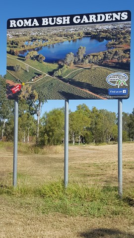
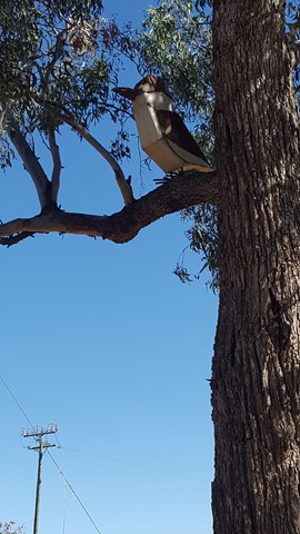
Roma Bush Gardens
Encompassing the picturesque Railway Dam, this leisurely walk is a must for enthusiast of the Australian bush. The 14 hectare gardens showcase eleven vegetation communities local to the Roma region, including Brigalow, Coolibah and Mulga. The walk offers a great variety of different vistas of the dam, which is also regarded as a first-rate place for bird-watching. Read about the native plants through the interpretive panels as you navigate the loop.
 1.5
km
return
30
mins
1.5
km
return
30
mins
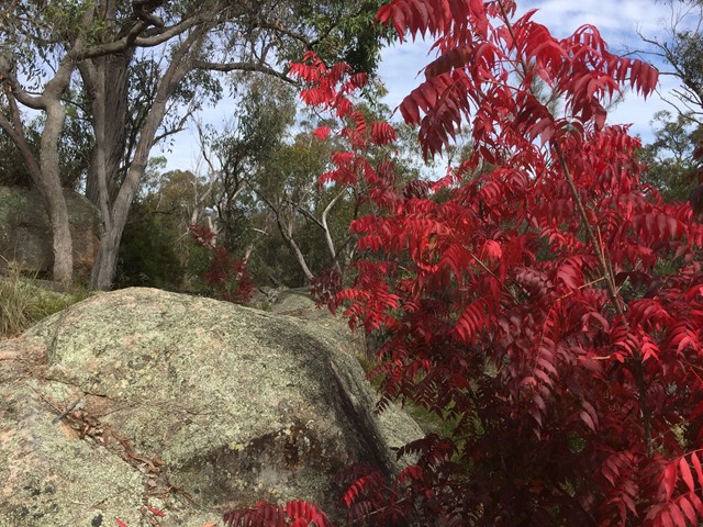
Sentimental Rocks
A little patch of bushland in Stanthorpe that offers a taste of the granite boulders the granite belt is known for.
A mini Girraween National Park for those who run short of time to make it out there.
 3.7
km
return
90
mins
3.7
km
return
90
mins
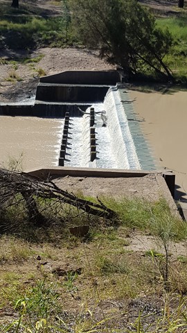
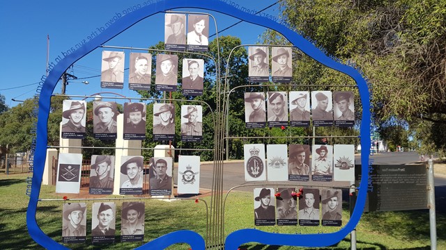
Surat Riverwalk
There is a park on the banks of the Balonne River which is a pleasant spot for a picnic. It is part of a walk along the Balonne River which includes footbridges, viewing platforms, Memorial Garden and a weir. There is an Aboriginal interpretative shelter which tells the story of local Aboriginal families and with any river bank environment out west, it is home to some impressive birdlife.
 2
km
return
45
mins
2
km
return
45
mins
The Gully Walk
This is a stroll along the Moonie River right opposite the Nindigully Pub. It features a nice path with plenty signs in relation to local history and wildlife.
 4
km
return
1
hr
4
km
return
1
hr
Tumble Downs Desert Walks and Gallery
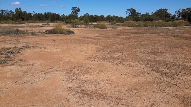
The Yelarbon Desert is a magnificent desert wilderness made from elevated, eroded level silty plains, these landforms are isolated to areas around Yelarbon near the State border. Grassland is scattered with shrubs and trees of Bull Oak, Tea tree, Belah Mallee Box and Poplar Box.
Much of the land type in this region consists of eroded soil, salinity scald, bleached sandy loam and light clay with intermittent Pitted Bluegrass, spinifex and Windmill (Inquisitive) grass and Roly Poly.
Our guided walk will take you into some of the most Eastern Desert in Australia at Yelarbon in South West Queensland. We do not rush... but take our time to experience the country’s beauty.
Enjoy a chat and a relaxing cup of Billy Tea & Anzac biscuits with your guide Julie Boyce on your return.
 1.2
km
return
30
mins
1.2
km
return
30
mins
Wallam Creek
Located in the small town of Bollon between St George and Cunnamulla. Follow a concrete path ( suitable for wheelchairs) along the creek and spot some koalas and echidnas
 3.4
km
return
1
hr
3.4
km
return
1
hr
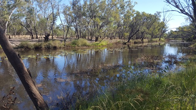
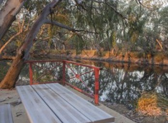
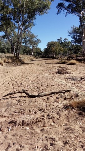
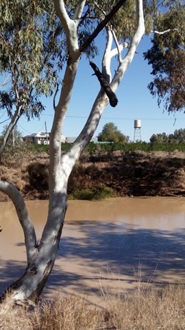
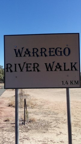
Warrego River Walk
The Warrego River, a northern tributary of the Darling River, flows through Charleville where this short walk follows its northern bank.
Walks in Crows Nest National Park
 4.5
km
return
2
hrs
4.5
km
return
2
hrs
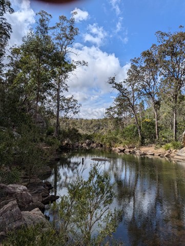
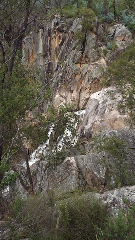
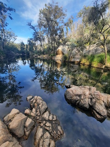
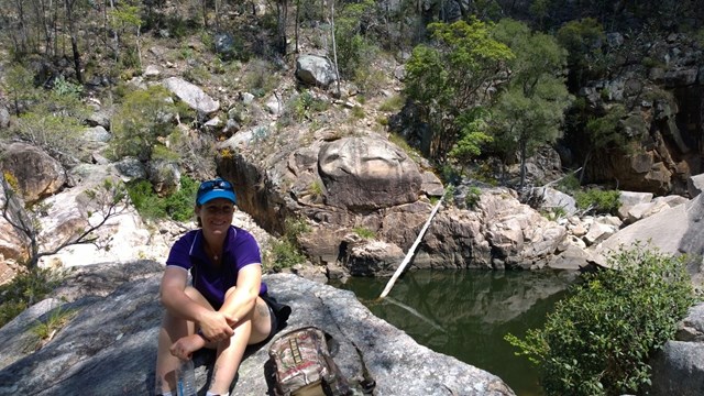
Crows Nest Falls Circuit
Crows Nest Falls via Kauyoo Loop (including The Cascades, Kauyoo Pool and Bottlebrush Pool).
Explore the creek on your way to Crows Nest Falls. Steep crevices and slippery rocks lead to the Cascades, where you can hear the ‘tock tock’ calls of striped marsh frogs echoing around the boulders in summer. A short scramble over low boulders brings you to Kauyoo Pool, where a sandy beach allows easy access to the normally shallow water - a perfect swimming spot for families with small children. Further along the trail, a long staircase leads you down to Bottlebrush Pool, which is an ideal place to enjoy a swim and relax. Keep an eye out for brush-tailed rock wallabies as they move quietly around the surrounding granite hills and boulders.
Caution: Take care on the steps leading down to the creek and when rock-hopping across the creek, as these surfaces can be slippery when wet.
Note: BYO drinking water. Water from the picnic/camping areas must be boiled before use.
 12
km
return
7
hrs
12
km
return
7
hrs
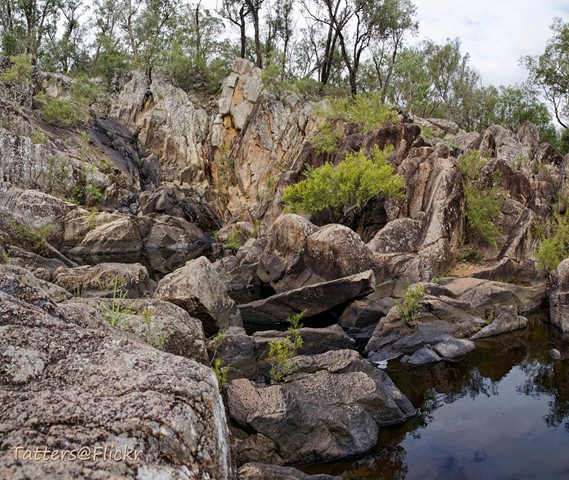
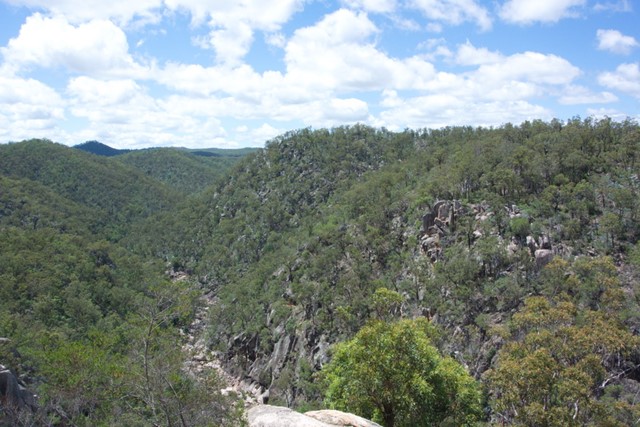
Crows Nest NP to Perserverance Dam
First 1/4 easy then 1/2 moderate then 1/4 hard. Try to get started early to avoid the heat. We took 7 hours to complete which had us doing the hardest part in the heat of the day.
At this date the creek portions were heavily overgrown and the rock hopping was hard since the floods of previous hears have washed out sand and small rocks leaving the entire Valley of Diamonds a hard slog criss-crossing the creek to find a navigable route. The bush has been badly degraded in recent years by drought and fires.
13
km
return
5
hrs
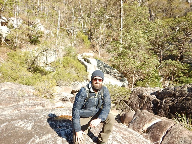
Valley of Diamonds
Starting from the same location as the normal day walks, it goes all the way to Perseverance Dam and then boulder-hopping all of the way up the gorge before a quick scramble up to Koonin Lookout