
Menu
Popular Walks
-
The Pyramid
(308 ticks) -
Table Top Loop
(220 ticks) -
Castle Rock
(182 ticks) -
Granite Arch
(176 ticks) -
The Sphinx and Turtle Rock
(126 ticks)
Summary
Boarding NSW and SA, this region is known for its ...
Popular Walks
-
The Pyramid
(308 ticks) -
Table Top Loop
(220 ticks) -
Castle Rock
(182 ticks) -
Granite Arch
(176 ticks) -
The Sphinx and Turtle Rock
(126 ticks)
Parent Regions
Sub-Regions
History
Any interesting history for the region?
Features
What are the standout bushwalking features?
Access
How do you get there? Include all access points if there are many?
Maps
Which maps cover the region?
Council Areas:
- Bulloo Shire
- Quilpie Shire
- Paroo Shire
- Murweh Shire
- Balonne Shire
- Maranoa Regional
- Goondiwindi Gegional
- Western Downs Regional
- Toowoomba Regional
- Souther Downs Regional
Contact details
See QLD National Parks
Walks in Currawinya National Park

 360
m
return
360
m
return
 10
mins
10
mins
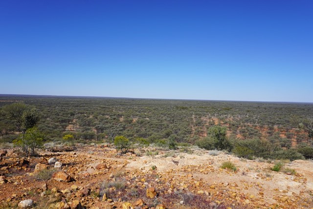
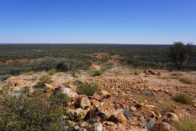
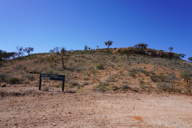
Budjiti Lookout
Budjiti Lookout
Grade 4
Distance: 360m return
Time: Allow 10 minutes
Take a short 180m walk up a rocky slope to the Budjiti Lookout and watch the sunset over an endless horizon. Located 44km north-west of the park office on the Boorara Road.
Remember to take water with you and walk carefully as the uneven track and rocks may be slippery.
 1.5
km
return
40
mins
1.5
km
return
40
mins
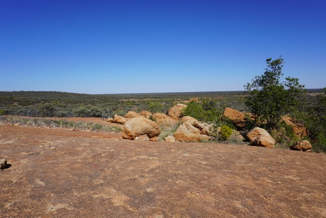
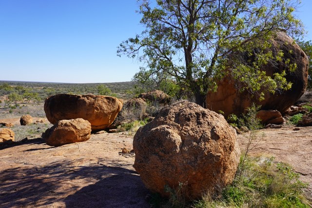
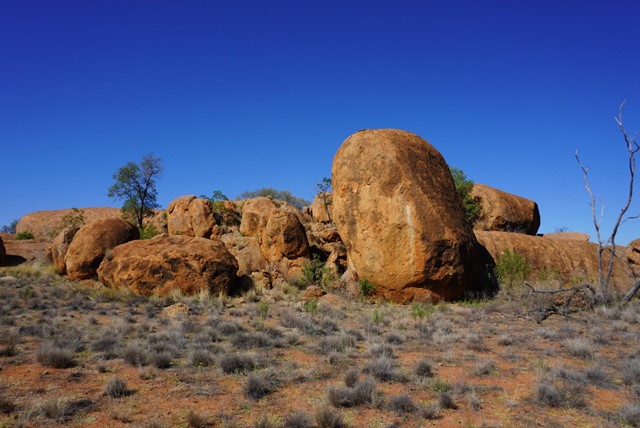
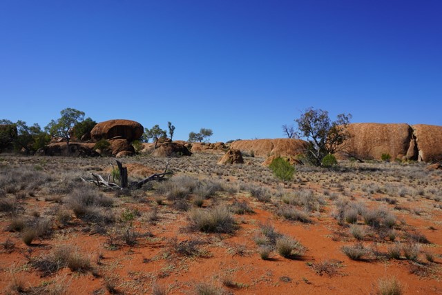
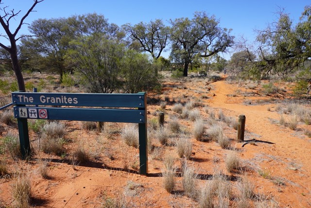
The Granites
The Granites
Grade 4
Distance: 1.5km return
Time: Allow 40 minutes
Visit The Granites, 10km north-west of Ten Mile Bore (pt 15km from ranger base) on the Boorara Road. Walk the 1.5km to a small outcrop of granite rocks, a unique feature of the park. Please respect the cultural significance of the area by not climbing on the granite rocks.
Walks in Girraween National Park
 5
km
return
3
hrs
5
km
return
3
hrs
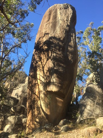
Aztec Temple
An off track walk from the end of the Underground Creek Trail containing a field of fascinating large stone pillars of various sizes, some of which (Main Pillar) can only be scales with ropes and shackles.
 4
km
return
1
hr
4
km
return
1
hr
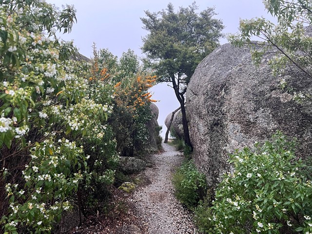
Bald Rock Creek Circuit
This circuit is ideal for a sample of Girraween’s finest features, with ample opportunity to see some of Giraween’s feathered, furred or scaly residents.
Cross Bald Rock Creek and follow it downstream along The Junction Track until it meets the track from the camping area. Use the stepping stones to cross the creek again and return to the day-use area via the camping area.
 4.4
km
return
90
mins
4.4
km
return
90
mins
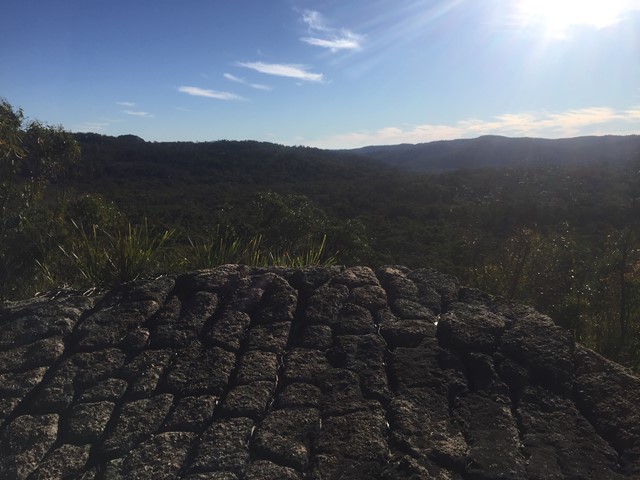
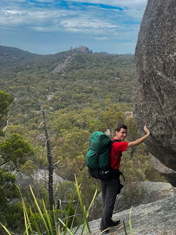
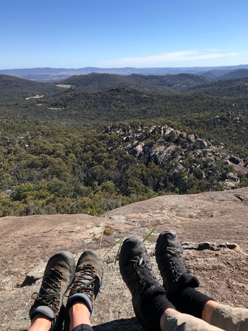
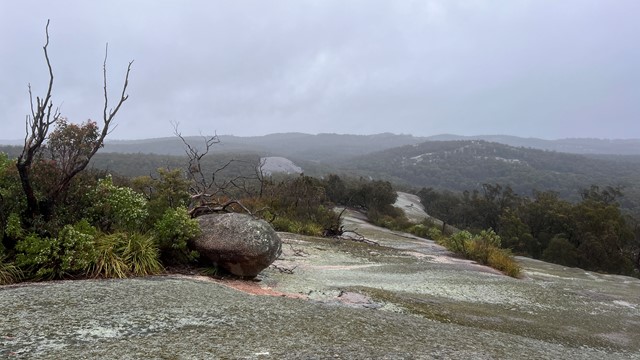
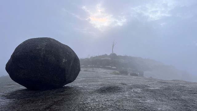
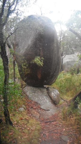
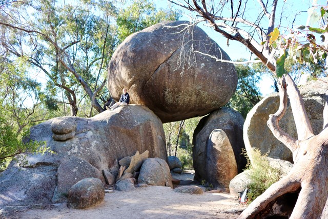
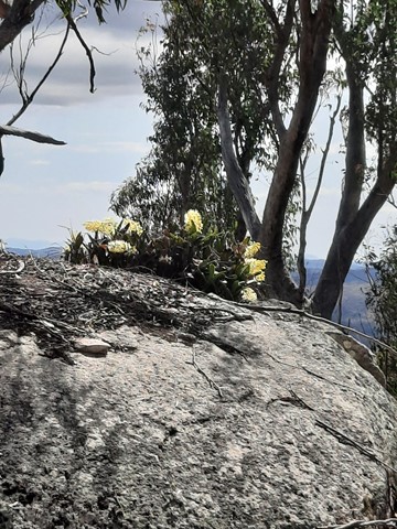
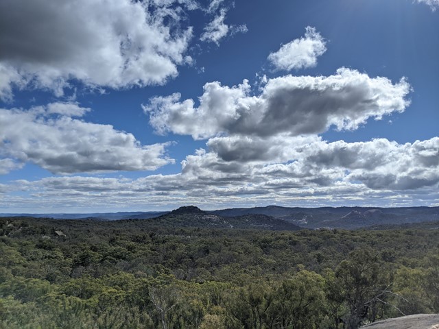
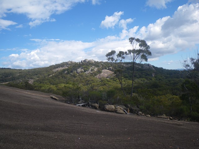
Castle Rock
Panoramic views from Castle Rock are breathtaking including The Pyramids and Mt Norman.
Officially rated Grade 4/Hard, this walk requires a moderate fitness level, some scrambling skills and confidence with heights.
 1.4
km
return
30
mins
1.4
km
return
30
mins
Dr Roberts Waterhole
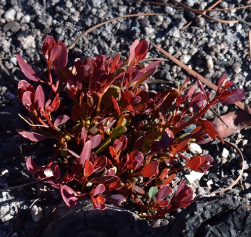
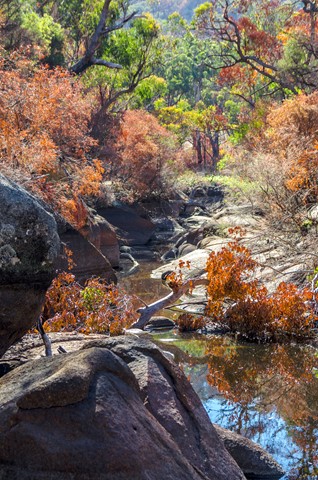
Take the gently sloping track to gaze at reflections in the still waters of Bald Rock Creek. Ground orchids, banksias, conesticks, geebungs and crinkle bushes are prominent in spring, as are the many colourful bird species living among them.
 40
km
return
3
days
40
km
return
3
days
Eastern Peaks Circuit Girraween
A multi day hike (3 days comfortably but could be done in 2) that visits all major east peaks in Girraween. Wonderful scenery, wildflowers and wildlife.
 46
km
2
days
46
km
2
days
Girraween to Bald Rock Circuit
The route we took was a mix of bush tracks; fire trails and off track. There were quite a number of opportunities to replenish your water supply either at the Nat Park's camp grounds and creeks.
 1.7
km
return
30
mins
1.7
km
return
30
mins
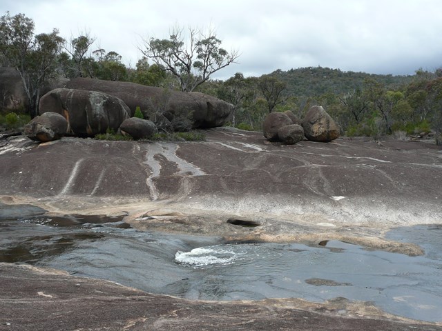
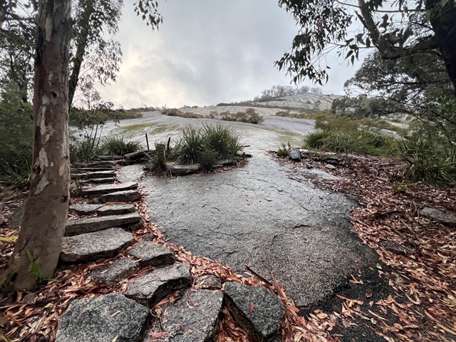
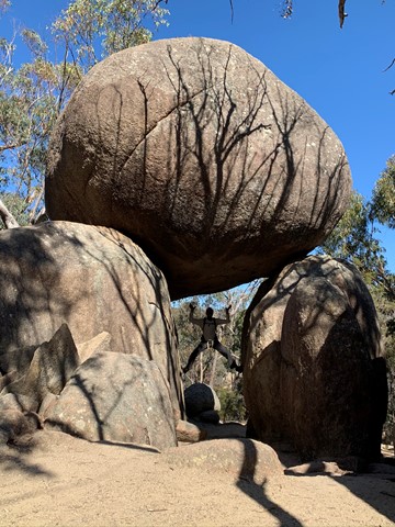
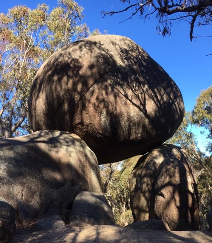
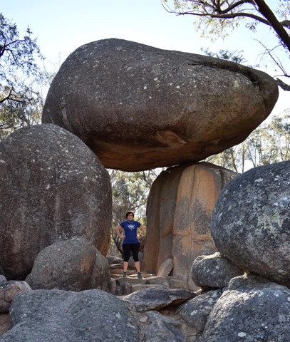
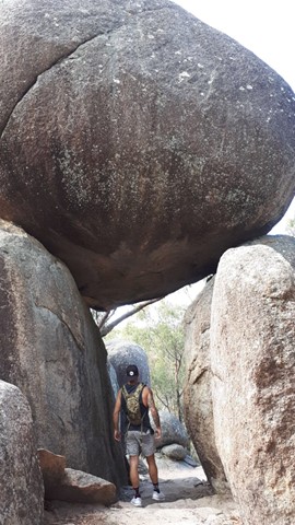
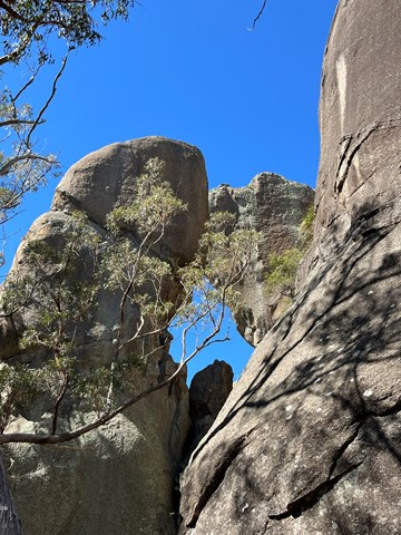
Granite Arch
If time is limited, or if you prefer an easy stroll, this circuit track is ideal. Cross bald Rock Creek and wind through blackbutt and stringybark forest to Girraween's very own natural stone archway.
 10.4
km
return
4
hrs
10.4
km
return
4
hrs
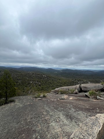
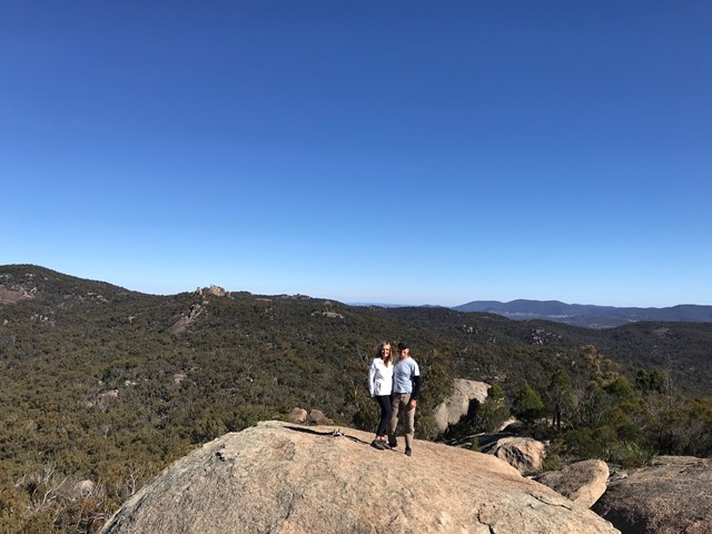
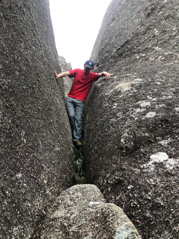
Mt Norman
The highest point in Girraween - Mt Norman provides some great views of the park and also visits the Eye of the Needle.