
Lake Cressbrook Walking Track - Day Use Area to Full Circuit
Darling Downs South West


Menu
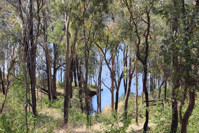

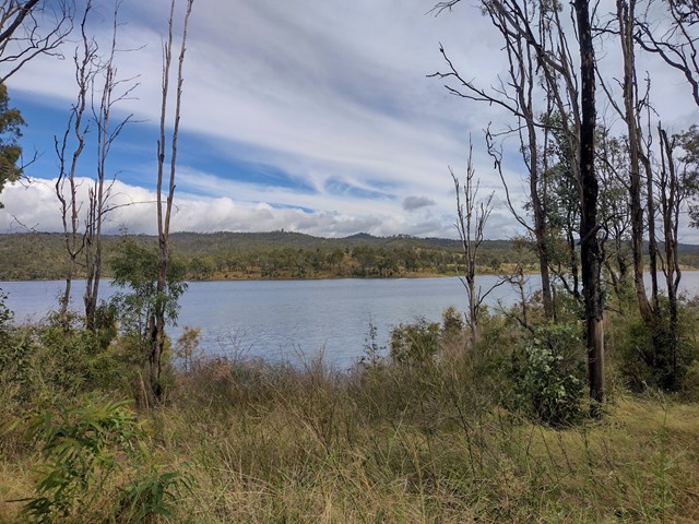
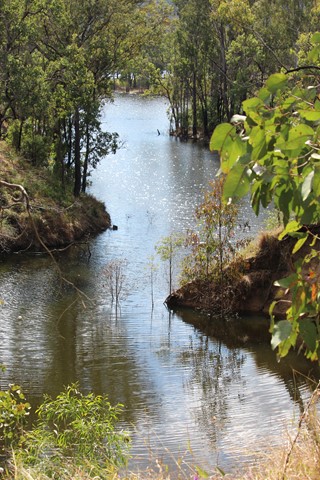
This track starts at the Day Use Area at the end of Cressbrook Dam Access Rd, and connects to a network of trails through eucalypt bushland behind the camping ground. Great opportunity for birdwatching with many stretches overlooking the dam.
Officially listed as Grade 3/Medium difficulty (including rough surfaces, some inclines + limited signage in parts), this track is suitable for people with a moderate fitness level.

Getting there
From Toowoomba, travel north on the New England Highway towards Crows Nest. Approximately 6km after the town of Hampton, turn right onto Pechey Forestry Road-Perseverance Dam Road (look for the big brown tourist sign). This road will take you past Lake Perseverance (carpark/lookout on your right). Continue on for 5km, where you will see the signed entrance to Lake Cressbrook on your left. This road winds downhill for another 4.6km before reaching the day use area (straight ahead), or you can turn left towards the campground for a shorter walk.
Maps
Which maps cover the area?
Route/Trail notes
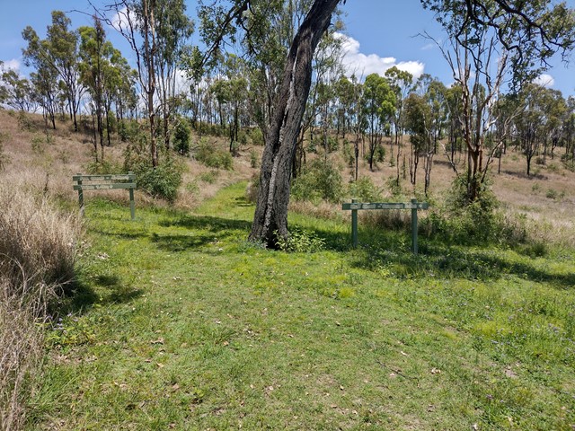
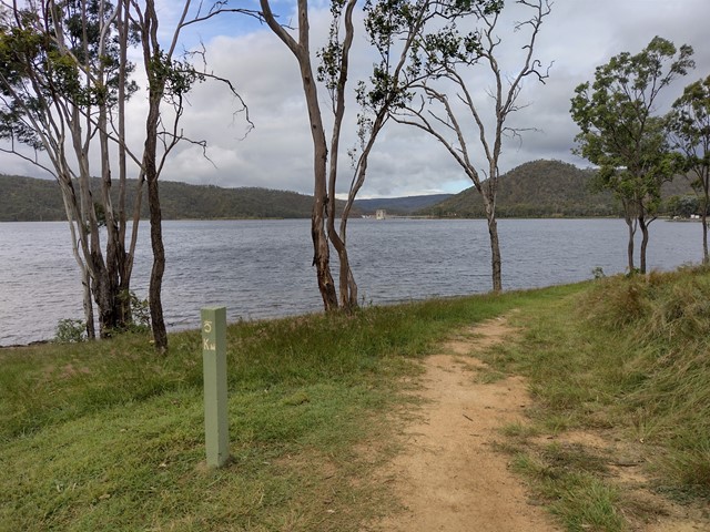
From the toilet block at the day-use area, cross the road to find the trailhead (not very clearly marked). Follow the mown grass track through thin eucalypt forest then along a creek bed. When the track reaches a road, turn right to cross the causeway and walk up a short hill before the trail cuts back into bushland. The next intersection gives you a choice of forest walk (left) or lake walk (right, slightly longer).
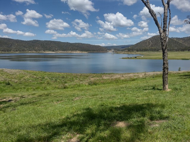
When you see the campground, head to the right to find where the marked trail sets out along the edge of the lake. There is a short circuit option (2km) or full circuit (4.4km). The short circuit is clearly marked, forking uphill to the left and returning to the campground through bushland. The full circuit continues along the edge of the dam, becoming hilly at points. There is a drop toilet about halfway along the circuit before the track turns to the left then leads uphill back towards the campground. At its furthest point, the trail breaks into several unsigned intersections - all eventually lead to the campground.
Once you reach the campground, return to the day use area via the same route, or walk along the bitumen road for a more direct route.
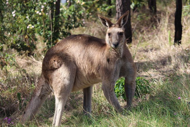
Note: Be cautious near the camping ground, as there are a lot of (wild) kangaroos, and swooping birds can be an issuse at certain times of year.
Permits/Costs
Do you need any permits? What's the cost?
Other References
How can I find more info? Any guide books?
GPS Tracks
- No GPS available for this walk yet.
 7.5
7.5 3
3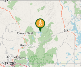
Comments