
Menu
Popular Walks
-
Mt Ngungun
(1156 ticks) -
Mount Coolum
(872 ticks) -
Mt Cordeaux
(668 ticks) -
Twin Falls Circuit
(636 ticks) -
Purling Brook Falls Circuit
(611 ticks)
Summary
The Sunshine State
Queensland has a wealth of bushwalking opportunities including multiple World Heritage Listed rainforests such as the Daintree and Lamington National Park, great coastal and island parks like Fraser Island and Hinchinbrook Island.
Popular Walks
-
Mt Ngungun
(1156 ticks) -
Mount Coolum
(872 ticks) -
Mt Cordeaux
(668 ticks) -
Twin Falls Circuit
(636 ticks) -
Purling Brook Falls Circuit
(611 ticks)
Sub-Regions
Other Information
World Heritage Areas
- Fraser Island
- Gondwana Rainforests of Australia (Lamington NP, Springbrook NP, Mount Chinghee NP, Mount Barney NP, Main Range NP)
- Great Barrier Reef
- Riversleigh
- Wet Tropics (Daintree NP, Barron Gorge NP, Cedar Bay NP, Girringun NP, Wooroonooran NP)
Contact details
Queensland Parks and Forest:
https://parks.des.qld.gov.au/
Regions
The link below provides a region map of QLD as a reference to what council zones are included in the 7 geographic regions of QLD.
https://en.wikipedia.org/wiki/Regions_of_Queensland#/media/File:Qld-regions-map.gif
- Far North Queensland
- North Queesnland
- Central Queensland
- Mackay, Isaac and Whitsunday
- Wide Bay Burnett
- Darling Downs South West
- South East Queensland
Walks in Wide Bay Burnett

 1.5
km
return
1.5
km
return
 1
hr
1
hr
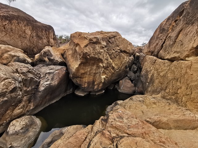
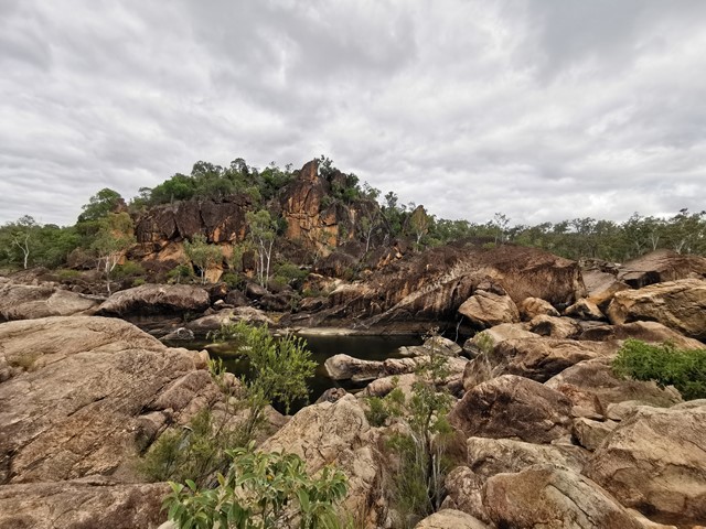
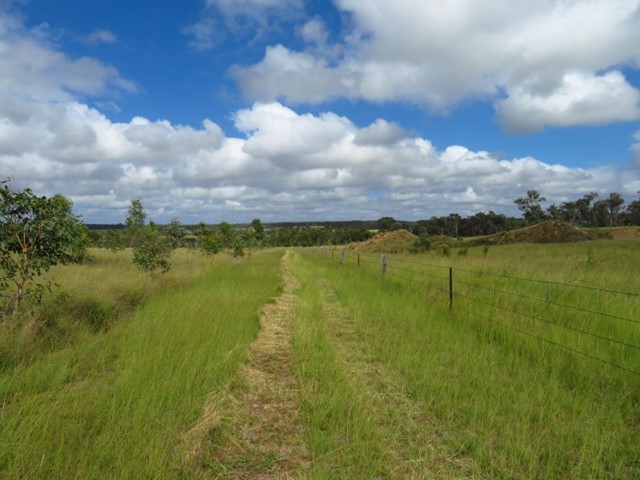
Auburn River National Park , Riverbed and rockpools walk
This is a strenuous walk and should only be attempted by fit walkers. This rough track winds down the side of the gorge to the river, travelling through dry rainforest, eucalypt forest and creek vegetation. The swollen trunks of bottle trees are a forest feature. Before exploring the river: take time to observe the immediate area to ensure you will be able to find the trail on your return. Take care when walking on wet rock surfaces, as they can be slippery.
 600
m
return
15
mins
600
m
return
15
mins
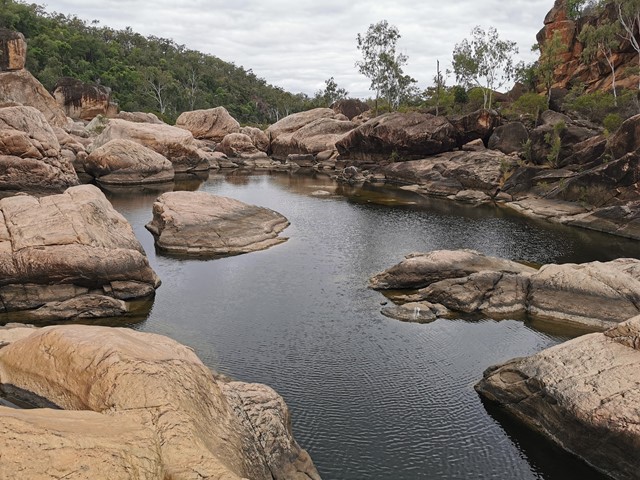
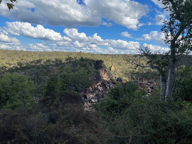
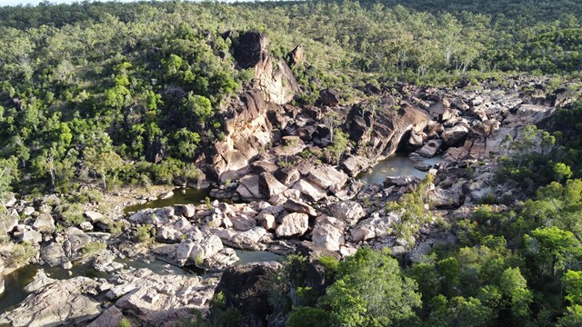
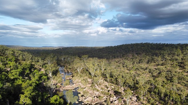
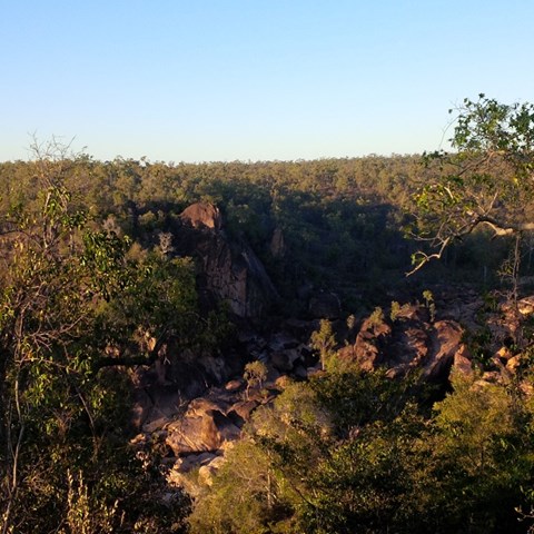
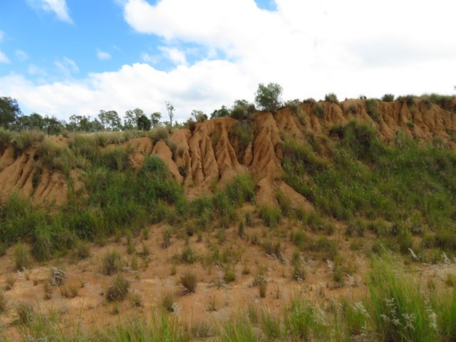
Auburn River National Park, Gorge Lookout walk
This short stroll leads to impressive views across Auburn River gorge. Take a camera and capture views of the river and its distinctive boulders. The 'Giant's Chair' can be seen from the lookout; so too is a peregrine falcon's nest—easily detected because of the 'white-wash' marks on the cliff face below a collection of sticks and debris which make up the nest. Unfenced lookout: Stay well back from the edge and supervise children at all times.
 3.3
km
return
1
hr
3.3
km
return
1
hr
Baldwin Swamp
A walk around a series of lagoons and home to a variety of birds. There is also a large colony of flying foxes. The length of the walk will vary depending on which tracks you take. Note motorised bikes must be registered and dogs must be on a leash.
4.4
km
return
2.5
hrs
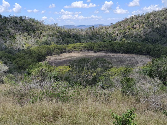
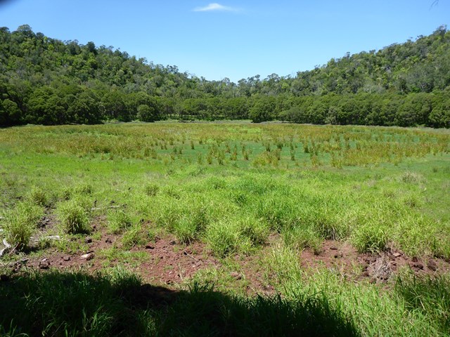
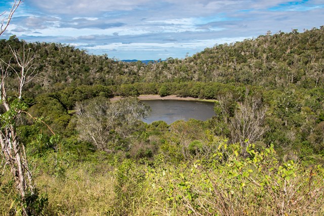
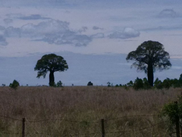
Coalstoun Lakes
A short walk up over the ridge and down in to the 1st crater. Between 1st and 2nd crater watch for orb spiders. Can be stunning when the lakes have water.
 800
m
return
30
mins
800
m
return
30
mins
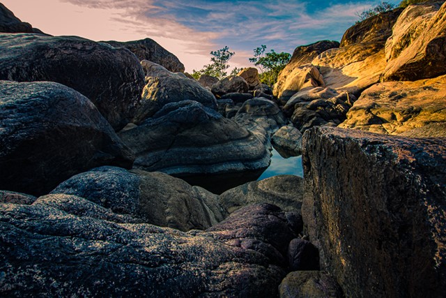
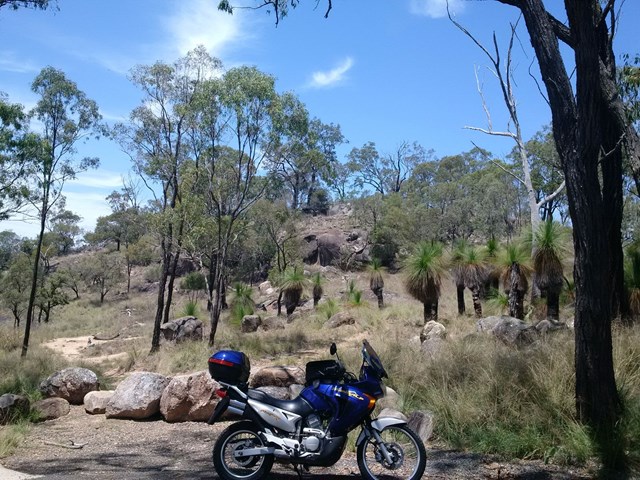
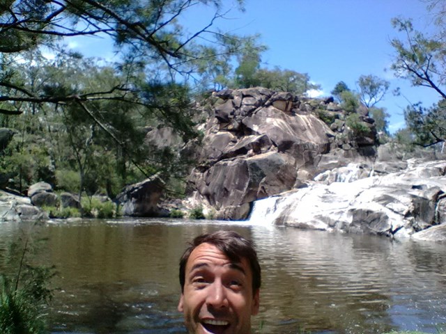
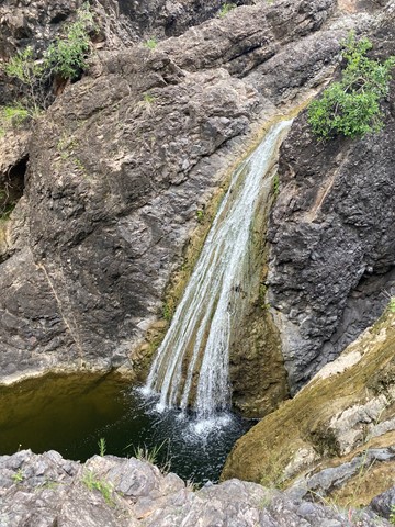
Coomba Water Hole
Follow the staircase down to this hidden water hole and water fall/cascade. Beautiful spot for a picnic and to cool off on a hot summer's day.
 7
km
return
2
hrs
7
km
return
2
hrs
Environmental Walkway
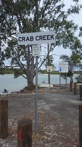
A wonderful opportunity for bird watching, as the foreshores of Tin Can Bay can be explored via the 'environmental walkway'. This allows visitors to observe the inhabitants of the foreshores in comfort and without disturbing their natural habitat.
There is an excellent environmental walkway which runs along the foreshore of Tin Can Inlet. A well maintained path through the foreshore bushland with raised wooden walkways. There are lots of detailed signs explaining the flora and fauna, with a specific Foreshore Bird Walk with photos for identification purposes.
 4
km
return
90
mins
4
km
return
90
mins
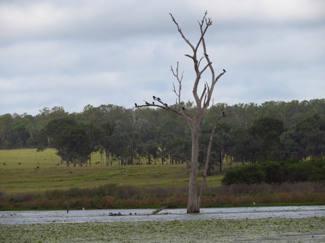
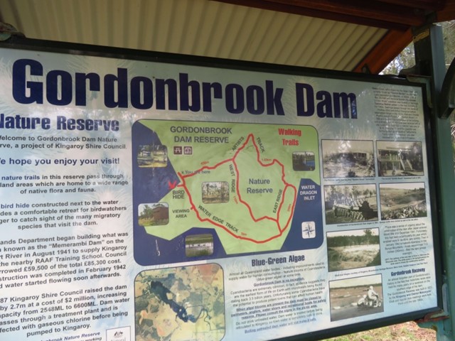
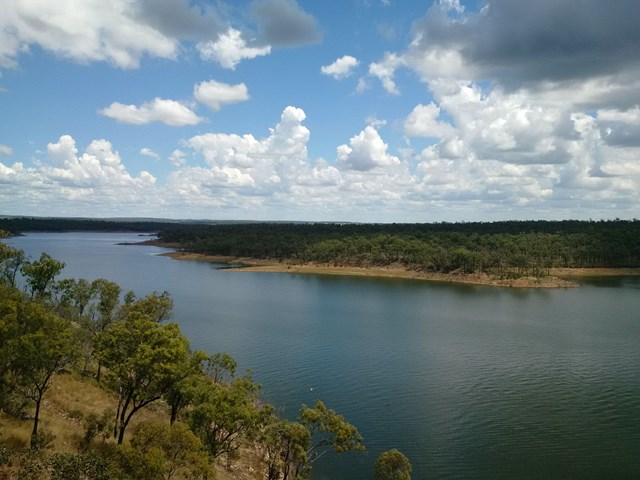
Gordonbrook Dam
Gordonbrook Dam is the sole water supply for Kingaroy and a peaceful spot to unwind. Take in the beautiful dam views from the viewing platform or a variety of walking tracks along the waters edge.
 1.1
km
return
1
hr
1.1
km
return
1
hr
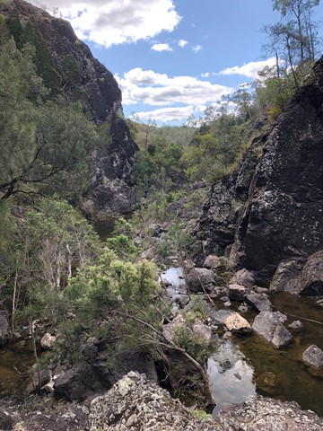
Kinbombi Falls
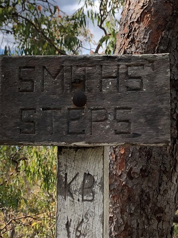
Located next to a camping area with picnic and toilet facilities, the Kinbombi Falls walks are a network of 3 short tracks that descend into a deep gully containing a seasonally flowing creek/waterfall. The combined walks could be done in under an hour, but it is worth setting aside more time to enjoy and explore the gully.
Tracks 1 and 3 both have an unstable, unpaved section towards the bottom of the gully.
 4
km
return
45
mins
4
km
return
45
mins
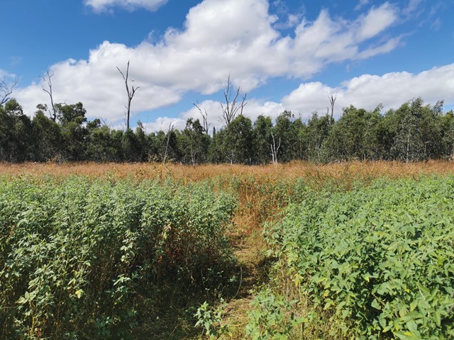
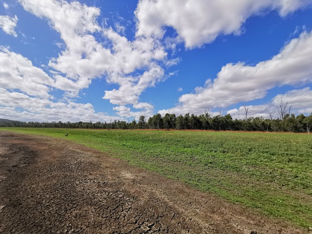
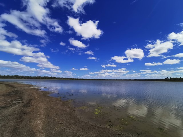
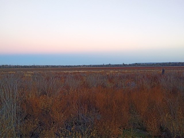
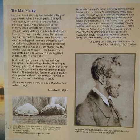
Lake Murphy Conservation Park
Nice easy stroll along the camping area , Robinson Creek and Lake Murphy