
Menu
Popular Walks
-
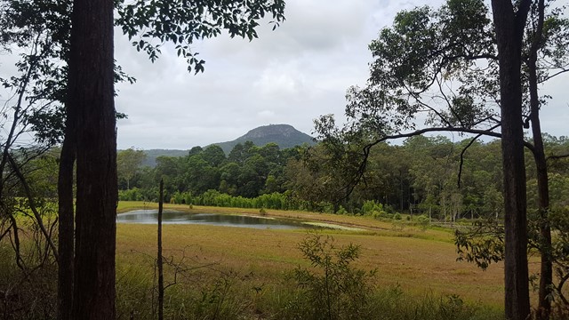
Mt Ngungun
(1156 ticks) -
Mount Coolum
(872 ticks) -
Mt Cordeaux
(668 ticks) -
Twin Falls Circuit
(636 ticks) -
Purling Brook Falls Circuit
(611 ticks)
Summary
The Sunshine State
Queensland has a wealth of bushwalking opportunities including multiple World Heritage Listed rainforests such as the Daintree and Lamington National Park, great coastal and island parks like Fraser Island and Hinchinbrook Island.
Popular Walks
-
Mt Ngungun
(1156 ticks) -
Mount Coolum
(872 ticks) -
Mt Cordeaux
(668 ticks) -
Twin Falls Circuit
(636 ticks) -
Purling Brook Falls Circuit
(611 ticks)
Sub-Regions
Other Information
World Heritage Areas
- Fraser Island
- Gondwana Rainforests of Australia (Lamington NP, Springbrook NP, Mount Chinghee NP, Mount Barney NP, Main Range NP)
- Great Barrier Reef
- Riversleigh
- Wet Tropics (Daintree NP, Barron Gorge NP, Cedar Bay NP, Girringun NP, Wooroonooran NP)
Contact details
Queensland Parks and Forest:
https://parks.des.qld.gov.au/
Regions
The link below provides a region map of QLD as a reference to what council zones are included in the 7 geographic regions of QLD.
https://en.wikipedia.org/wiki/Regions_of_Queensland#/media/File:Qld-regions-map.gif
- Far North Queensland
- North Queesnland
- Central Queensland
- Mackay, Isaac and Whitsunday
- Wide Bay Burnett
- Darling Downs South West
- South East Queensland

 10
km
return
10
km
return
 2.5
hrs
2.5
hrs
Point Lookout to Keyholes
Start from Point Lookout and walk southward down the beach till a sign in the dunes where you head in land for about 100m to the keyholes. Then head back to Point Lookout same way.
Look out for 4WDs
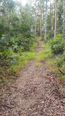
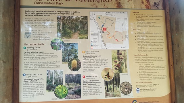
Walks in Parklands Conservation Park
(South East Queensland) 5.3
km
return
90
mins
5.3
km
return
90
mins
Coobong Circuit
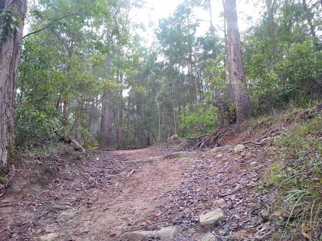
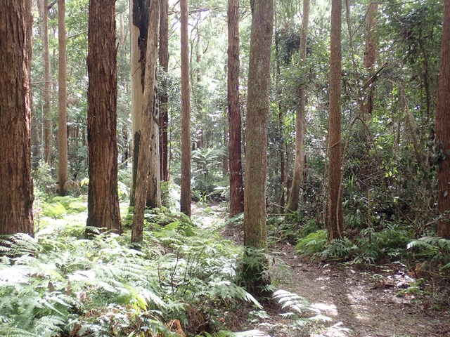
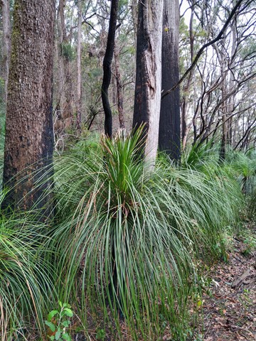
Travel through open eucalypt forest where bloodwood and tallowwood trees are common and banksias, wattles, grass trees and hopbush grow in the forest understory.
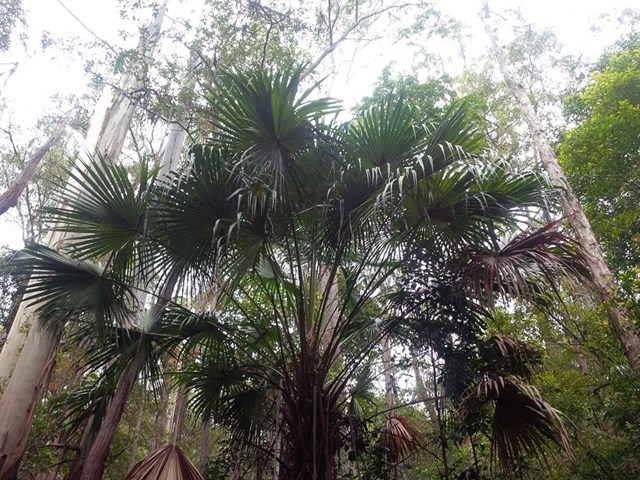
In more protected, wetter areas, the forest features flooded gum, turpentine, cabbage tree palm, piccabeen palm, stinging tree and some rainforest plants. You will cross two small creeks and pass bee hives on this circuit.
 11
km
return
2.5
hrs
11
km
return
2.5
hrs
Komine Circuit
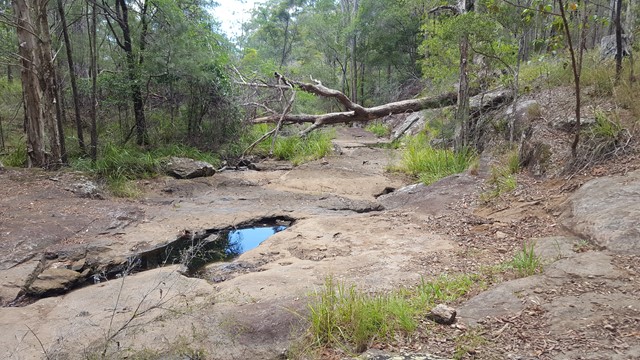
Cooler winter months are the best time to explore this circuit. It winds through open scribbly gum forest and includes large sections of track with little shade.
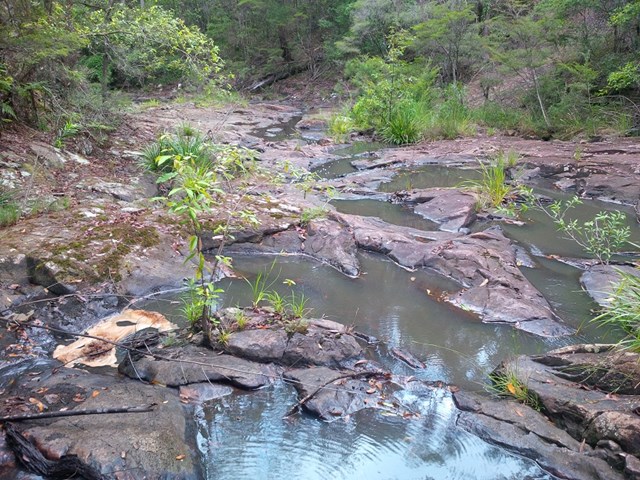
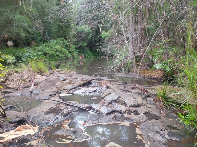
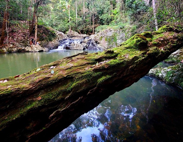
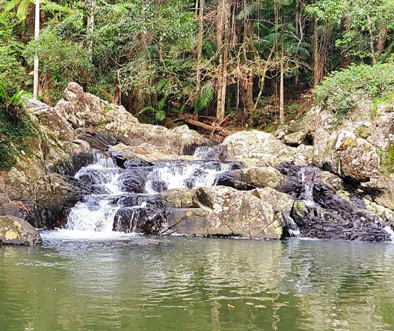
A number of creeks lead to rock pools and cascades, which flow after heavy rainfall.
 7.8
km
return
2
hrs
7.8
km
return
2
hrs
Lemon Tree Circuit
Similar to the Rocky Creek circuit, this track includes dry, rocky ridges. Some sections are more exposed, making the dry open forest a hotter area through which to travel, especially during the warmer summer months.
 5.4
km
return
90
mins
5.4
km
return
90
mins
Rocky Creek Circuit
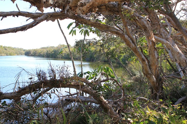
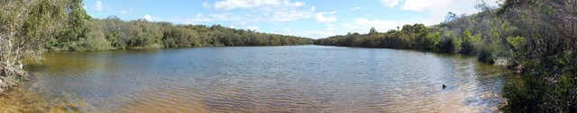
Parklands Regional Park is a valuable wildlife habitat with vegetation ranging from eucalypt forests of bloodwood and tallowwood trees (with banksia, wattle and grass tree understorey) to rainforest gullies with flooded gum, turpentine and, in protected wetter areas, groves of palms.
A number of creeks lead to rock pools and cascades, which flow after heavy rainfall.
Walks in Springbrook National Park
(South East Queensland)
2.9
km
return
1
hr
Apple Tree Park North and South Trails
A short walk in the forest from Apple Tree Park with views through the trees to Numinbah Valley.
 6
km
return
3
hrs
6
km
return
3
hrs
Apple Tree Park to Little Nerang Creek Falls
Start from the car park at Apple Tree Park. Cross the road and decend down the fire trail until you find the NP TRAIL entrance on your left. Decend down to Creek crossing, waterfall and swimming holes. Climb back up the way you came, climbing the equivalent of a 61 story building.
This walk eventually links to the Warringa Pool Track which leads onto the Purling Brook Falls Circuit and is the route taken by the Gold Coast Hinterland Great Walk.
 700
m
return
30
mins
700
m
return
30
mins
Best Of All Lookout
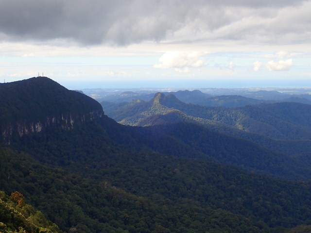
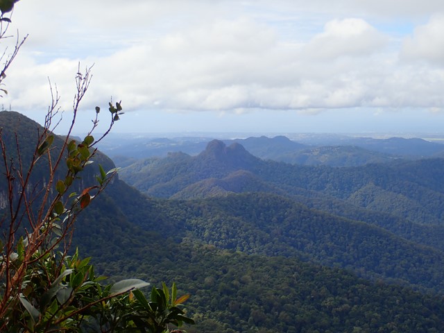
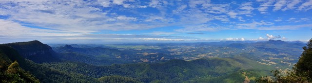
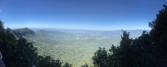
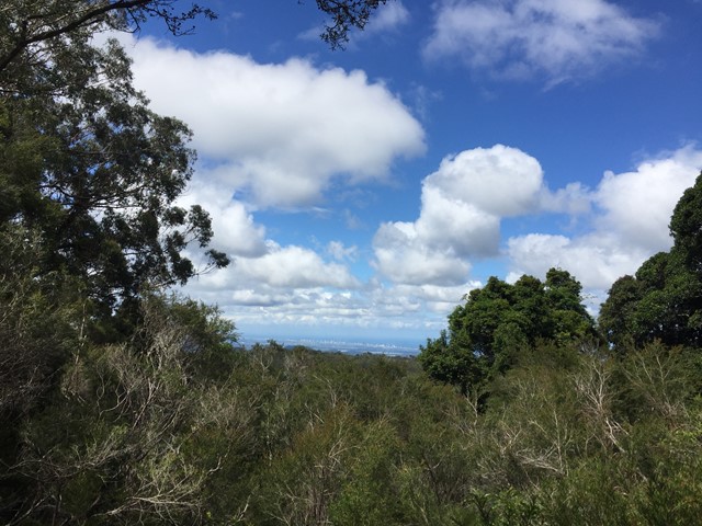
It makes lofty claims... and meets them! This short walk is well worth the effort with excellent views of the Tweed Valley including Mt Warning, Byron Bay and The Cougals. Plus, it includes one of the most accessible stands of Antarctic Beech Forest (Nothofagus Moorei) in Queensland. If you haven't been there, make sure to stop off next time you're on the plateau.
 6
km
return
3.5
hrs
6
km
return
3.5
hrs
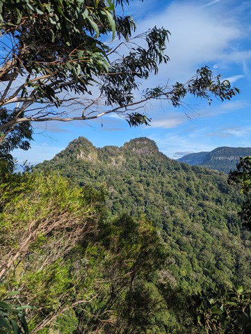
Boyds Butte - from Cougal Cascade
A relatively short walk, but challenging, rainforest walk, with great views as a reward. You'll need a GPS app, or good off-track navigational skills in places.
 100
m
return
5
mins
100
m
return
5
mins
Buliya-Buliya Jagun Boardwalk
Visit Gauriemabah - place of stories, at the old schoolhouse, and discover the many tales of Springbrook. Take a short walk along Buliya-Buliya Jagun Boardwalk look and listen for the many little birds along your way to the lookout.