
Menu
Popular Walks
-
Mt Ngungun
(1156 ticks) -
Mount Coolum
(872 ticks) -
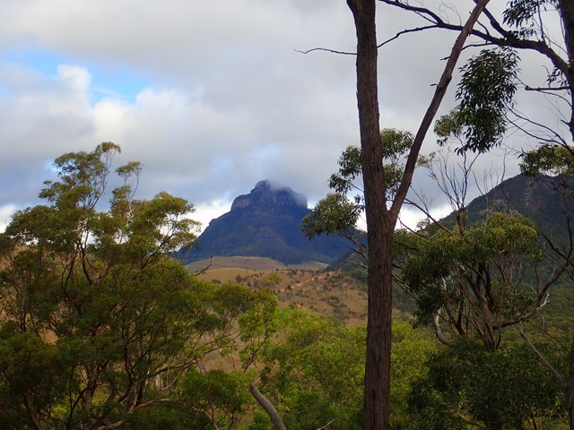
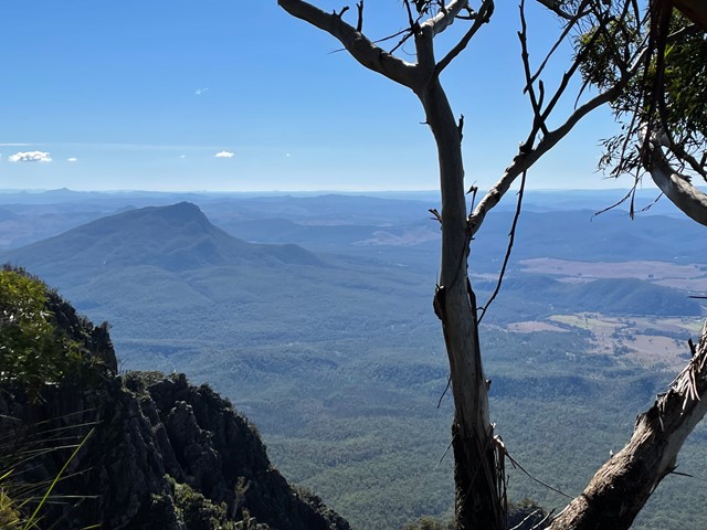
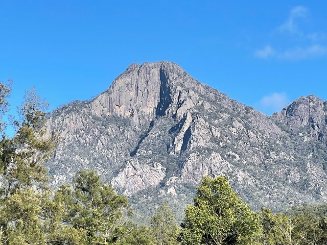
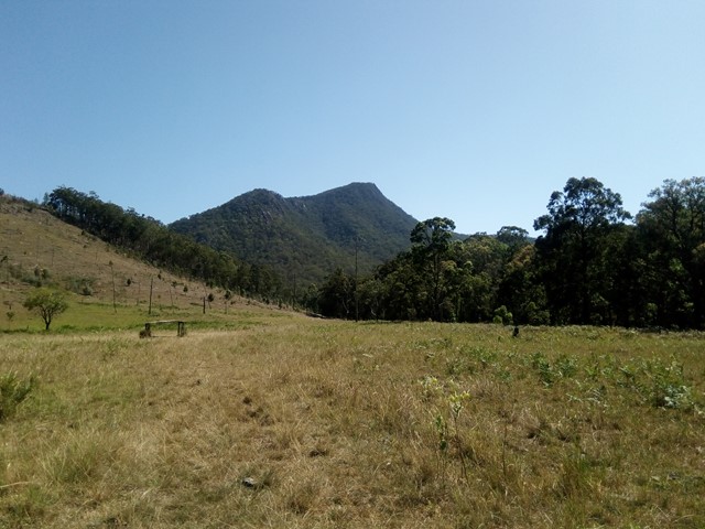
Mt Cordeaux
(668 ticks) -
Twin Falls Circuit
(636 ticks) -
Purling Brook Falls Circuit
(611 ticks)
Summary
The Sunshine State
Queensland has a wealth of bushwalking opportunities including multiple World Heritage Listed rainforests such as the Daintree and Lamington National Park, great coastal and island parks like Fraser Island and Hinchinbrook Island.
Popular Walks
-
Mt Ngungun
(1156 ticks) -
Mount Coolum
(872 ticks) -
Mt Cordeaux
(668 ticks) -
Twin Falls Circuit
(636 ticks) -
Purling Brook Falls Circuit
(611 ticks)
Sub-Regions
Other Information
World Heritage Areas
- Fraser Island
- Gondwana Rainforests of Australia (Lamington NP, Springbrook NP, Mount Chinghee NP, Mount Barney NP, Main Range NP)
- Great Barrier Reef
- Riversleigh
- Wet Tropics (Daintree NP, Barron Gorge NP, Cedar Bay NP, Girringun NP, Wooroonooran NP)
Contact details
Queensland Parks and Forest:
https://parks.des.qld.gov.au/
Regions
The link below provides a region map of QLD as a reference to what council zones are included in the 7 geographic regions of QLD.
https://en.wikipedia.org/wiki/Regions_of_Queensland#/media/File:Qld-regions-map.gif
- Far North Queensland
- North Queesnland
- Central Queensland
- Mackay, Isaac and Whitsunday
- Wide Bay Burnett
- Darling Downs South West
- South East Queensland

 1
km
return
1
km
return
 45
mins
45
mins
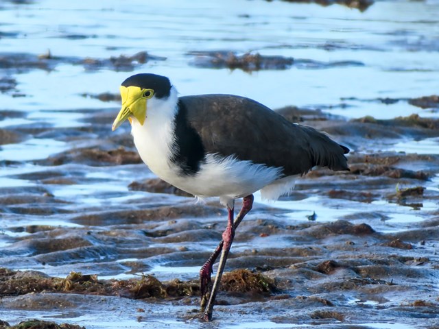
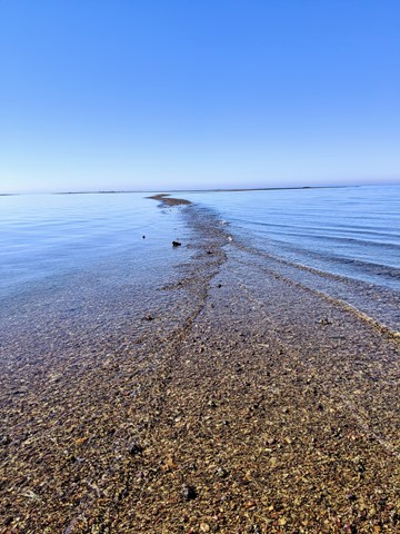
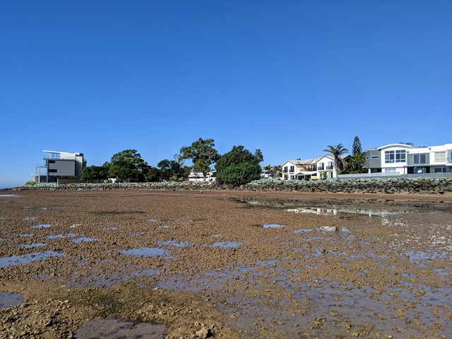
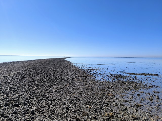
Scarborough Point Low Tide
A short 1km return walk over the mud flat & rocks at Scarborough Point, starting from Tingira Park. At low tide the rocks form a roughly 2m wide path out to a big rocky outcrop in the bay, there's often people fishing or fossicking here. At high tide the entire path and outcrop go underwater.
 8.7
km
one-way
2.5
hrs
8.7
km
one-way
2.5
hrs
Telegraph Track
Park at Mt Tempest. Listed as a 4-6 hour return hike but i completed it in 2.5 hours as a fit solo walker.
All sand being located on Moreton Island and you certainly work the calves as a result! Some elevation but nothing major. Some good views to the Pacific Ocean when your high enogh on some of the climbs.
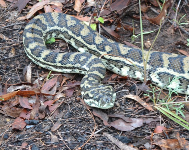
Great walk full of birds and lizards running around the place with no sight of snakes the day I walked. Good thing to do when tour living on the island 🌴
Walks in Mt Barney National Park
(South East Queensland)
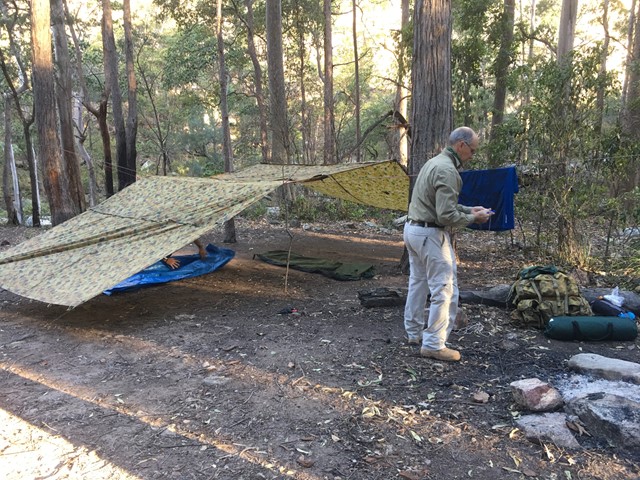
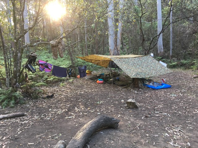
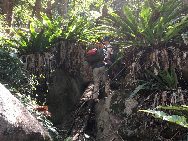
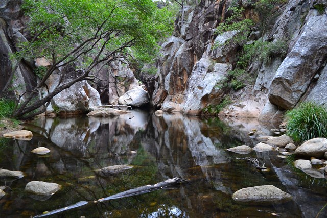
Barney Gorge Junction Bush Camp to Yamahra Creek Camp
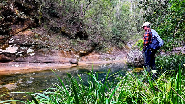
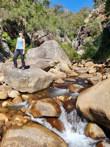
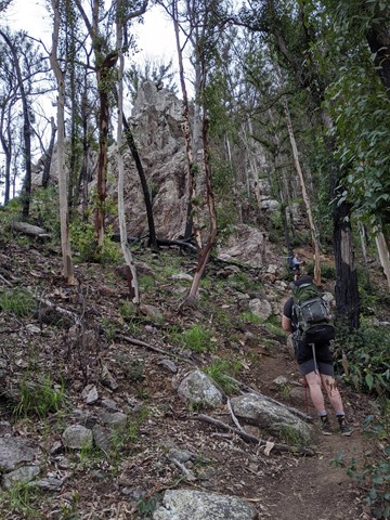
There are two ways to do this walk. The first one is to hike back up to the top of the ridge and follow it along to reach Yamahra creek camp. The second way which is the way we went was to follow the creek and rock hop your way, there are some pros and cons to this as the views are amazing and the scenery spectacular, there are some sections which are a bit challenging as they require some small rock climbing skills and are made more difficult if your carrying a large pack. Before you get to the upper portals you have to break track back up the ridge to your right as you cant get around the portals. From there you follow the track over the ridge and down the other side and descend to the Yamahra creek campsite. this campsite is close to running water in the creek, as you walk towards the creek take the left turn and water is about 200m away.
 13
km
5
hrs
13
km
5
hrs
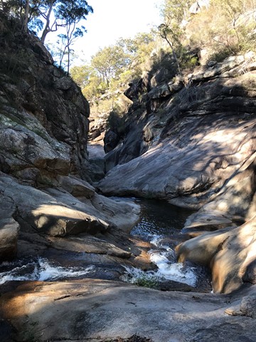
Cronan Creek Falls Track
From Yellow Pinch car park, a pleasant walk along the fire trail leads you past the base of South Ridge into green rainforest. (Note: the climb up South Ridge is rugged and steep and for experienced walkers only).
 12.4
km
one-way
10
hrs
12.4
km
one-way
10
hrs
Isolated Peak and Toms Tom
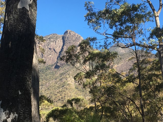
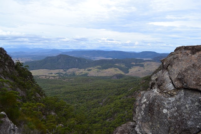
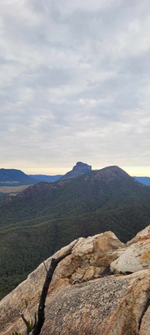
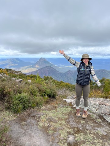
This walk is mostly off track and has some very exposed and challenging descents. The views are spectacular on clear days. A rope is almost obligatory (I didn't take one but I certainly would have used it to descend from Toms Tum if I had one). I would not recommend tackling this route in wet weather as there is a lot of rock scrambling and some sections of almost vertical rock climbing (descending). I had mobile phone reception on the top of Isolated Peak and Toms Tum.
 9.6
km
return
3
hrs
9.6
km
return
3
hrs
Logan's Gorge
A cool offtrack walk. This is an offtrack walk and good navigational skills are mandatory
7.4
km
return
3
hrs
Lower Portals
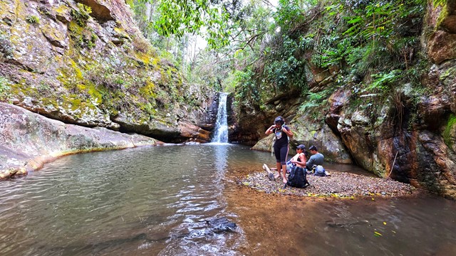
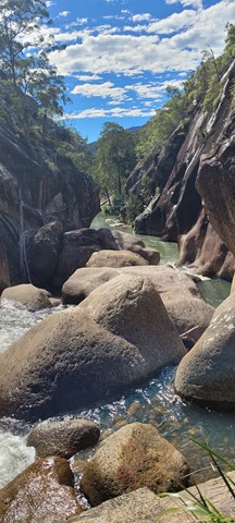
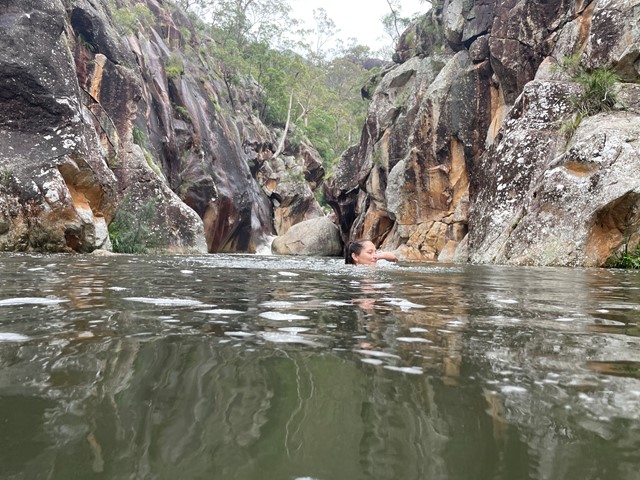
This was my first overnight hike. It was challenging, but not ridiculous. A good beginners walk.
I highly recommend going for a dip in the creek even in Winter. It was like an ice bath for my tired muscles.
 10.5
km
return
5
hrs
10.5
km
return
5
hrs
Montserrat Lookout and Upper Portals Circuit
An awesome day out taking in these two spectacular locations, enjoying the amazing views of Mt Barney from Montserrat Lookout, and exploring the Portals. There are a couple of leg-burning climbs involved, but the rewards are worth it.
 15
km
return
11
hrs
15
km
return
11
hrs
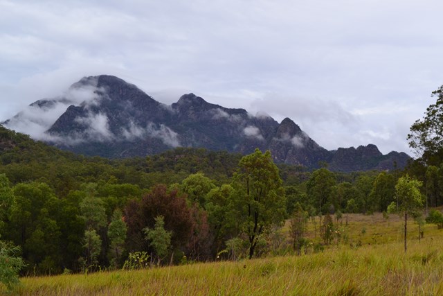
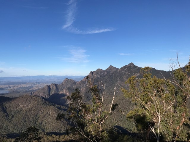
Mount Barney South East Ridge
Big day on the mountain. Up and back down the SE Ridge.
Well worth all the aches and pains.
 11
km
return
9
hrs
11
km
return
9
hrs
Mount Ernest
IMPORTANT: The route to Mount Ernest from Yellow Pinch via the northeast ridge involve traversing private property. You should contact NPRSR to obtain contact details for the landowner in order to obtain permission to enter private property.
Mount Ernest lies on the opposite (northern) side of Mount Lindesay Highway from its namesake, and provides spectacular views of Mount Barney to the north. While much lower than the main peaks of Mount Barney, routes to the summit of Mount Ernest are less trodden take just as long.