
Menu
Popular Walks
-
Mt Ngungun
(1156 ticks) -
Mount Coolum
(872 ticks) -
Mt Cordeaux
(668 ticks) -
Twin Falls Circuit
(636 ticks) -
Purling Brook Falls Circuit
(611 ticks)
Summary
The Sunshine State
Queensland has a wealth of bushwalking opportunities including multiple World Heritage Listed rainforests such as the Daintree and Lamington National Park, great coastal and island parks like Fraser Island and Hinchinbrook Island.
Popular Walks
-
Mt Ngungun
(1156 ticks) -
Mount Coolum
(872 ticks) -
Mt Cordeaux
(668 ticks) -
Twin Falls Circuit
(636 ticks) -
Purling Brook Falls Circuit
(611 ticks)
Sub-Regions
Other Information
World Heritage Areas
- Fraser Island
- Gondwana Rainforests of Australia (Lamington NP, Springbrook NP, Mount Chinghee NP, Mount Barney NP, Main Range NP)
- Great Barrier Reef
- Riversleigh
- Wet Tropics (Daintree NP, Barron Gorge NP, Cedar Bay NP, Girringun NP, Wooroonooran NP)
Contact details
Queensland Parks and Forest:
https://parks.des.qld.gov.au/
Regions
The link below provides a region map of QLD as a reference to what council zones are included in the 7 geographic regions of QLD.
https://en.wikipedia.org/wiki/Regions_of_Queensland#/media/File:Qld-regions-map.gif
- Far North Queensland
- North Queesnland
- Central Queensland
- Mackay, Isaac and Whitsunday
- Wide Bay Burnett
- Darling Downs South West
- South East Queensland
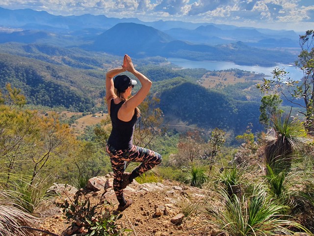
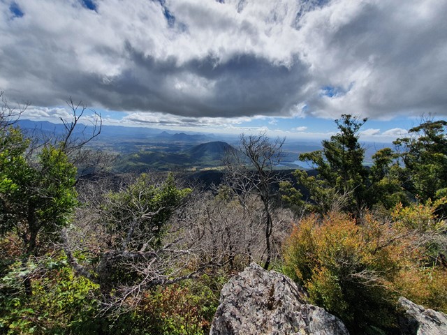
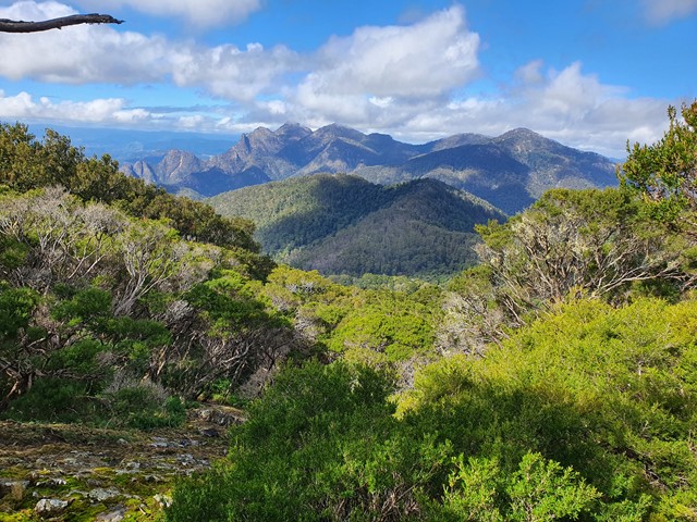
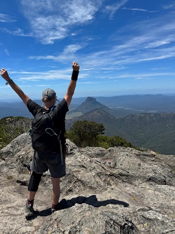
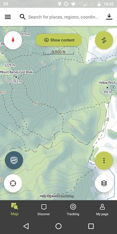
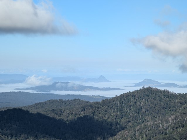
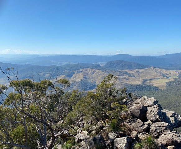
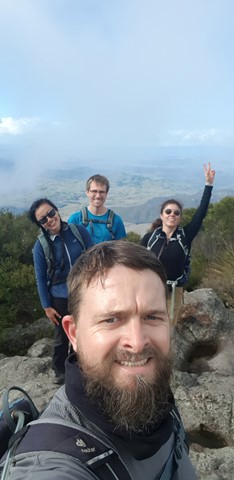
Walks in Mt Barney National Park
(South East Queensland)
 6.2
km
return
6.2
km
return
 4
hrs
4
hrs
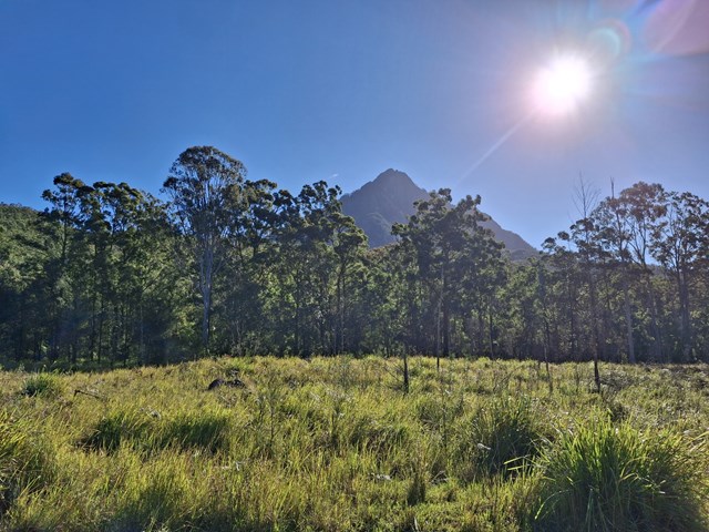
Mount Gillies [Private Property]
Permission from Mt Barney Lodge needed as well as a small fee to access this route up Mount Gillies. Walk starts out through a field before entering the Mount Gillies section of the Mount Barney National Park.
 5
km
return
4
hrs
5
km
return
4
hrs
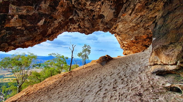
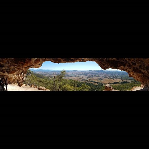
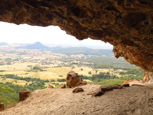
Mount Maroon Caves
A walk up from Cotswold trailhead to a cave on the northern side of the mountain.
Off track bush-bashing and some climbing.
 12.9
km
return
6
hrs
12.9
km
return
6
hrs
Mount Maroon Southern Route
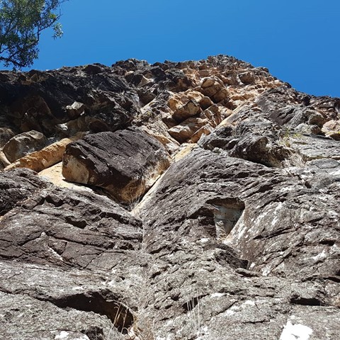
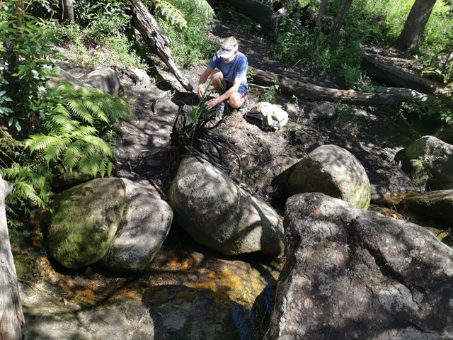
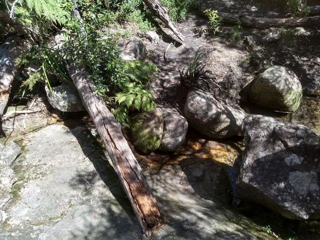
This alternate route up Mount Maroon begins from the end of Dynans Hut Road following the fire trail until Paddy Plain Remote Bush Camp after which the small creek named Paddys Gully is followed upstream for a short way before turning right at the fork in the creek and following this mostly dry tributary up the Southern flanks of Mount Maroon. The exposed creek bed is followed up hill for a while until you exit it on the righthand side to join the forested gully you follow for the majority of the way up until the plateau. Once the plateau has been gained its not long until you run into the main tourist path and follow it up to the summit. Trail up the Southern flanks of Mount Maroon is off trail / overgrown and navigation skills will be needed.
9
km
return
5.5
hrs
Mount May
A challenging half day circuit walk of Mount May with great views of the surrounding mountains.
 12
km
return
8
hrs
12
km
return
8
hrs
Mowburra Peak
A slightly less travelled walk up a steep grassy ridge and then disappear into rain forest to get to a small cleared rocky slab with wonderful views out to Mt Barney.
 17
km
return
10
hrs
17
km
return
10
hrs
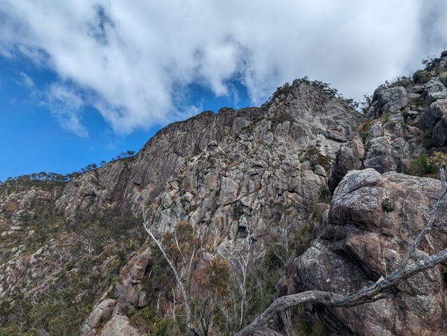
Mt Barney - East Peak - South Ridge
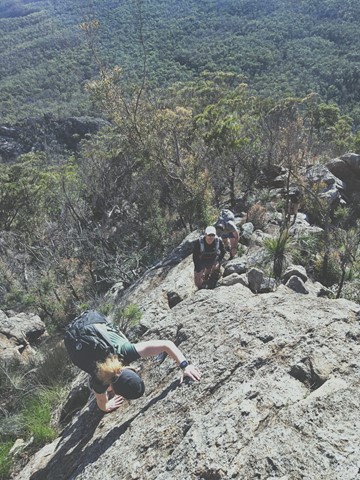
South Ridge is the easiest track up Mt Barney (but it's NOT easy!). Sometimes referred to as Peasants' Ridge (a dig that only Peasants would take such a boring route up the mountain), South Ridge is an excellent choice for a first ascent of Barney. The track has triangular trail markers but there are still opportunities for navigational difficulties if you're inexperienced.
You MUST start early in the day. Expected time is 8-10 hours with almost 1200m of climbing from the carpark. Make sure to leave early to allow time for any mishaps and be prepared to turn back if necessary.
 15.4
km
one-way
6
hrs
15.4
km
one-way
6
hrs
Mt Barney - East Peak - Up Logan's - Down South
The original route taken by Captain Patrick Logan & Allan Cunningham. AC actually gave up leaving Logan to climb on alone. It's the steepest, sharpest most direct route up to East Peak short of needing ropes, harnesses and belays etc. The views are spectacular. Rock scrambling experience, sound navigational skills and a good head for heights are an absolute must for this walk. NEVER climb it alone. There have been dozens of rescues off this ridge, don't be next. Extensive signage recently installed at Yellow Pinch do not mention Logan's Ridge, for good reason.
 15
km
return
10
hrs
15
km
return
10
hrs
Mt Barney - East Peak - Up South-East - Down South
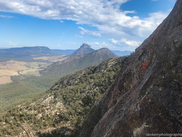
Ascent of Mt Barney via South East Ridge and descent via Peasants Ridge: a challenging but rewarding hike. The views are amazing and certainly worth the effort. If coming from Brisbane leave early and aim to be at Yellow Pinch car park by 7:30-8 am. Allow 3-4 hours for the ascent via the South East Ridge track and 2-3 hours for decent via South Ridge (Peasants Ridge) track.
 7
km
return
8
hrs
7
km
return
8
hrs
Mt Barney - Up Logan's Ridge Down SE Ridge
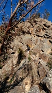
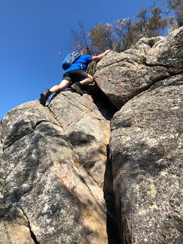
Very challenging route up Mt Barney with some technical rock climbing required. You must have some decent scrambling experience and a high level of fitness. Whist there is some exposure it is the technical climbing that is the most challenging. Allow plenty of time and plenty of water and if in doubt (as we were numerous times) just stick to centre of the ridge. There are times where you have to rely on your boots for grip so make sure you are comfortable with you choice of footwear. I recommend a day pack only with this route as there are several sections where you need to haul yourself over ledges that would be almost impossible with a full pack. I rate the SE ridge as a 5 and Logan's ridge as a 9 in terms of difficulty. Take this on board and give it a go :)
 15
km
return
10
hrs
15
km
return
10
hrs
Mt Barney East Peak - South-East Ridge up and South Ridge down
Very tough. Be prepared for plenty of rock scrambling at height and no trail markers on the summit. Long walk back to the car park from South ridge track.