
Menu
Popular Walks
-
Mt Ngungun
(1156 ticks) -
Mount Coolum
(872 ticks) -
Mt Cordeaux
(668 ticks) -
Twin Falls Circuit
(636 ticks) -
Purling Brook Falls Circuit
(611 ticks)
Summary
The Sunshine State
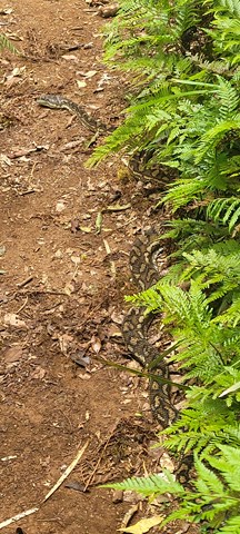
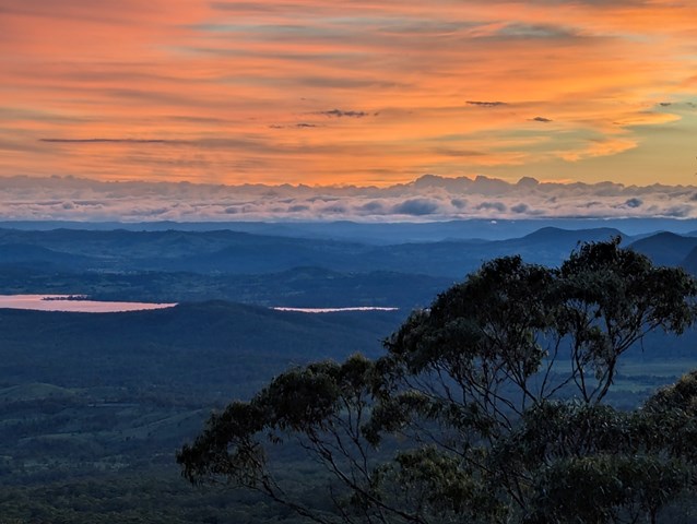
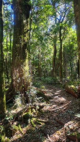
Queensland has a wealth of bushwalking opportunities including multiple World Heritage Listed rainforests such as the Daintree and Lamington National Park, great coastal and island parks like Fraser Island and Hinchinbrook Island.
Popular Walks
-
Mt Ngungun
(1156 ticks) -
Mount Coolum
(872 ticks) -
Mt Cordeaux
(668 ticks) -
Twin Falls Circuit
(636 ticks) -
Purling Brook Falls Circuit
(611 ticks)
Sub-Regions
Other Information
World Heritage Areas
- Fraser Island
- Gondwana Rainforests of Australia (Lamington NP, Springbrook NP, Mount Chinghee NP, Mount Barney NP, Main Range NP)
- Great Barrier Reef
- Riversleigh
- Wet Tropics (Daintree NP, Barron Gorge NP, Cedar Bay NP, Girringun NP, Wooroonooran NP)
Contact details
Queensland Parks and Forest:
https://parks.des.qld.gov.au/
Regions
The link below provides a region map of QLD as a reference to what council zones are included in the 7 geographic regions of QLD.
https://en.wikipedia.org/wiki/Regions_of_Queensland#/media/File:Qld-regions-map.gif
- Far North Queensland
- North Queesnland
- Central Queensland
- Mackay, Isaac and Whitsunday
- Wide Bay Burnett
- Darling Downs South West
- South East Queensland
Walks in Lamington National Park
(South East Queensland)
 2.4
km
return
2.4
km
return
 75
mins
75
mins
Wishing Tree Track
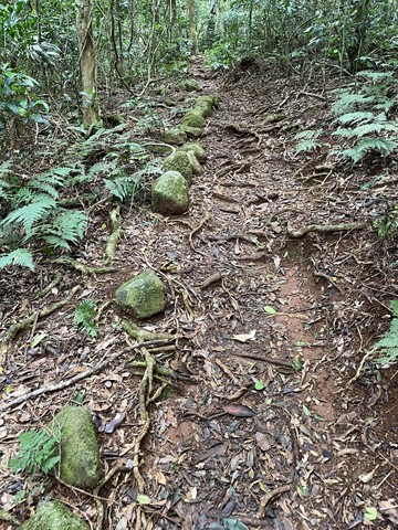
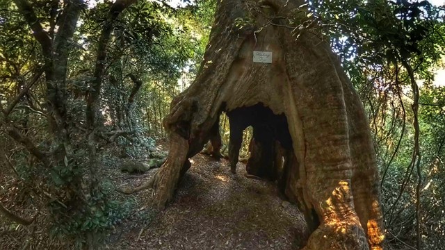
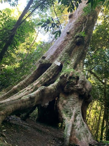
The track passes large Brush Box and over a tree fern gully spanned by a suspension bridge down to the Wishing Tree, where you can turn left into Glow Worm Gully or ahead under the Wishing Tree to Morans Creek. This track is on private property at O’Reilly’s resort.
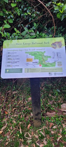
Walks in Main Range National Park
(South East Queensland)
1
km
return
30
mins
Adjinbilly Cascades: Private Property
Adjinbilly Cascades are reached by a short 2 minute walk from the Ruby campfire area while staying at Adjinbilly Retreat. It is a beautiful place, deserving to be called the ‘heart’ of Adjinbilly. It is a ‘must’ to visit early in your stay, with the small cascading waterfalls and enveloping rainforest creating a unique, secluded setting. You can walk up to the falls (beware of slippery rocks), get wet or sit and enjoy the special feeling of just being there.
There is a table and chairs where you can share a meal (perhaps a candlelight dinner for a special occasion).
 2.5
km
return
1
hr
2.5
km
return
1
hr
Adjinbilly Circuit Track: Private property
This is an ungraded track mostly following old logging tracks along the creek. This beautiful walk has a myriad of highlights, from the many cascades and the beautiful views of the creek to the amazing strangler figs and the magnificent epiphytes high in the trees. It is accessed for guests staying at Adjinbilly Retreat
It is a walk with plenty of ‘ups and downs’, and you might get your feet wet as you cross the creek. There are seats at selected beauty spots – wonderful places where you can reflect and soak up the ambience or take special photographs.
3.8
km
return
105
mins
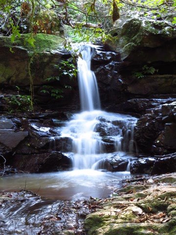
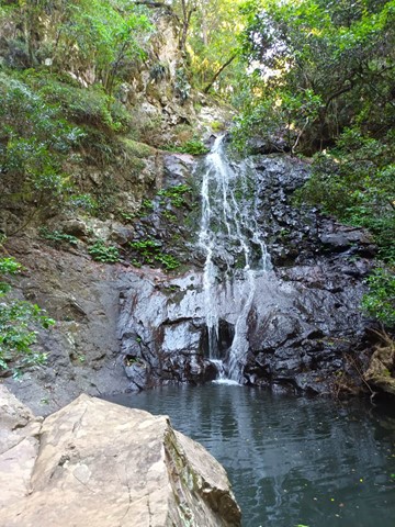
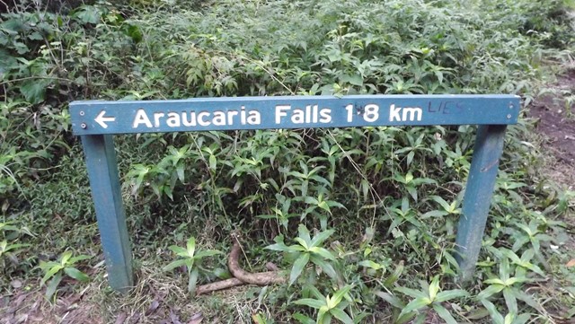
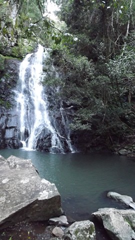
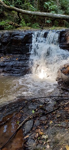
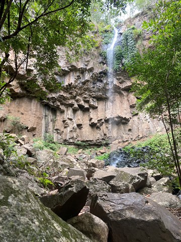
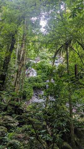
Araucaria Falls
Walk starts flat before gently descending along a gully lined with brush box. Cross the creek at the top of the falls and then descend sharply to the deep pool below to this small but spectacular waterfall.
13
km
4.5
hrs
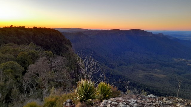
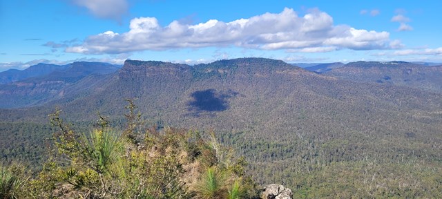
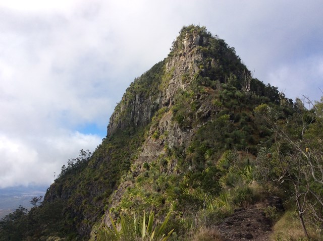
Bare Rock track and Morgan's Walk
Bare Rock is a minor peak North of Cunningham's Gap with great views towards the Mistake Mountains.
5
km
return
1
hr
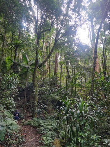
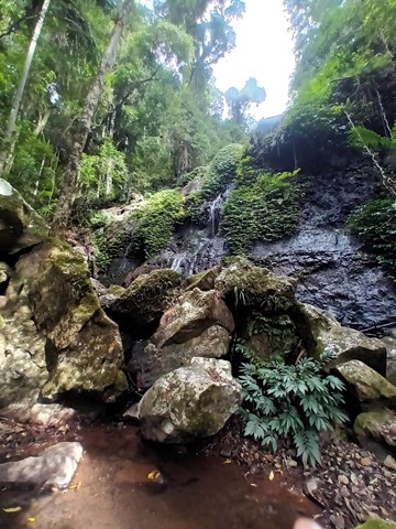
Box Forest Track
Rain forest walk from top car park to the bottom rest area at Cunningham's Gap. Includes 2 creek crossings and plenty of little waterfalls along the way.
1.4
km
return
75
mins
Browns Falls
Located only 4.5 kms outside of Killarney in the Scenic Rim. The 15m waterfall requires a 700 metre walk along a rough track involving plenty of climbing over rocks and under fallen trees. It is definitely worth the trek.
9
km
return
4
hrs
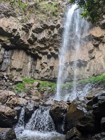
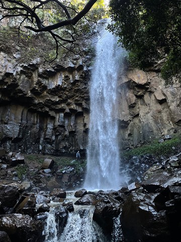
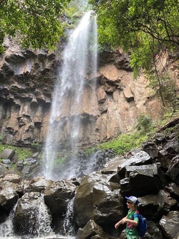
Cascades Circuit
THIS TRACK (SEPTEMBER 2025) IS CURRENTLY CLOSED DUE TO STORM DAMAGE.
A nice circuit starting off in a eucalypt forest and venturing deeper into the rainforest along the upper reaches of Dalrymple Creek.
Dalrymple is a level 3 track - medium
Cascades is a level 4 track - hard
Easiest way is to complete in clockwise direction and end up on the fire track heading back to the camp ground.
 20
km
return
7
hrs
20
km
return
7
hrs
Cunninghams Gap to Laidley Creek Falls
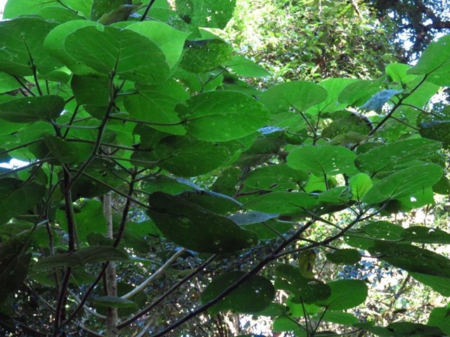
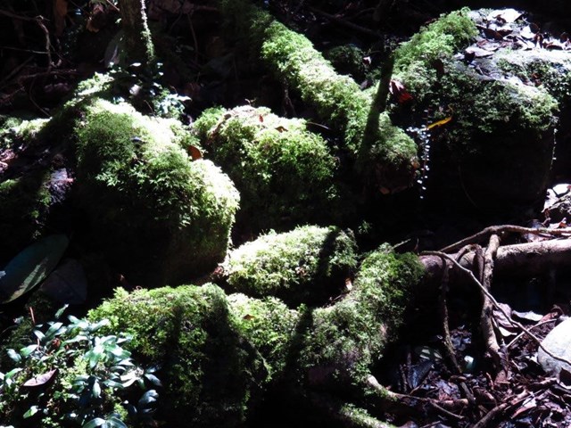
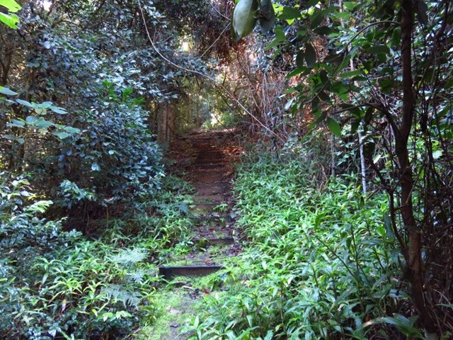
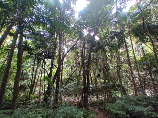
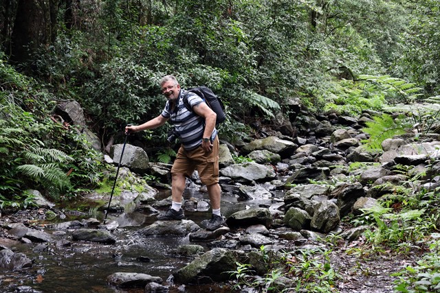
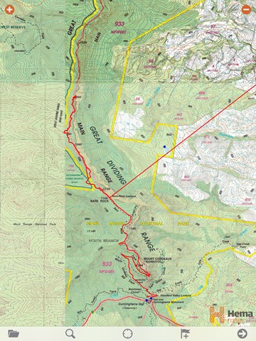
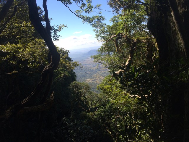
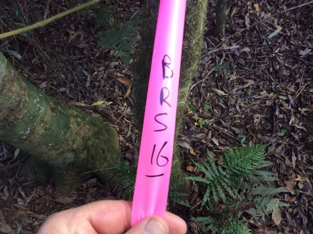
I've always loved the view of The Ramparts to the north of Cunninghams Gap when driving up Main Range, and have done the walk from the Gap to Bare Rock on a couple of occassions. This is only a short walk on a well-graded track, and not too much of a climb. The view at the end makes this a great short walk all by itself. However, I've always wondered what lay beyond. There's a map and a reasonable description of the route from Bare Rock to Laidley Creek Falls in "Take a Walk in South-east Queensland" (John and Lyn Daly) - refer page 257 Cunninghams Gap to Mount Castle. There's also a description in the out of print (but online) Bushpeople's Guide to Bushwalking in Southeast Queensland (Sylvesters Lookout to Mt Cordeaux)http://www.southee.com/Bushwalking/Ch15-MistakeMountains.html#label025. Several blogs indicate that it is a difficult walk with no views. I decided to investigate for myself (and without available walking buddies for the day - by myself) last weekend (14 May 2016). I never intended to walk through to Laidley Creek Falls, just investigate conditions beyond Bare Rock with a view to doing the walk through later in winter. Following are my observations.
