Menu
Popular Walks
-
Mt Ngungun
(1162 ticks) -
Mount Coolum
(874 ticks) -
Mt Cordeaux
(669 ticks) -
Twin Falls Circuit
(638 ticks) -
Purling Brook Falls Circuit
(611 ticks)
Summary
The Sunshine State Queensland has a wealth of bushwalking opportunities including multiple World Heritage Listed rainforests such as the Daintree and Lamington National Park, great coastal and island parks like Fraser Island and Hinchinbrook Island.
Popular Walks
-
Mt Ngungun
(1162 ticks) -
Mount Coolum
(874 ticks) -
Mt Cordeaux
(669 ticks) -
Twin Falls Circuit
(638 ticks) -
Purling Brook Falls Circuit
(611 ticks)
Sub-Regions
Other Information
World Heritage Areas
- Fraser Island
- Gondwana Rainforests of Australia (Lamington NP, Springbrook NP, Mount Chinghee NP, Mount Barney NP, Main Range NP)
- Great Barrier Reef
- Riversleigh
- Wet Tropics (Daintree NP, Barron Gorge NP, Cedar Bay NP, Girringun NP, Wooroonooran NP)
Contact details
Queensland Parks and Forest:
https://parks.des.qld.gov.au/
Regions
The link below provides a region map of QLD as a reference to what council zones are included in the 7 geographic regions of QLD.
https://en.wikipedia.org/wiki/Regions_of_Queensland#/media/File:Qld-regions-map.gif

- Far North Queensland
- North Queesnland
- Central Queensland
- Mackay, Isaac and Whitsunday
- Wide Bay Burnett
- Darling Downs South West
- South East Queensland
Walks in Karawatha Forest
(South East Queensland)
 8
km
8
km
 2
hrs
2
hrs
The Rocks Circuit (from Illaweena Street)
Starting from Stretton Reserve on Illaweena St, head to the far end of the picnic area and across the bridge over the lagoon. Start following the power lines and head slightly up hill. About 700 metres in, follow the sign to the right Dianella Trail. There's an interesting and rather random car wreck in here. Keep following it at any sign posts by heading to the Wallaby track. When you reach the Wallaby track, head right for 170 metres then left for 120 metres onto the Rocks circuit. Head right (ignore the path in front of you) and keep following it around. Stick to the Rocks Circuit. You'll eventually come to an unsigned junction. Don't go uphill to the left (that will take you back to the Wallaby track) but head right down the gully and then up some stairs. This will eventually take you to an excellent little picnic area at the highest point in the park, with a nice view of the local area. From the picnic area, head west on the Entolasia track towards the reservoirs and mobile phone towers. After the mobile tower (but before the huge/second water reservoir) head left where the sign says Wallaby track, but don't head onto the Wallaby track. There'll be a green arrow painted on a tree. Follow that arrow and head down the Casuarina track. If you ever wander off track, just follow the main track under the power lines until you get back to the bridge and lagoon.
 2.5
km
return
30
mins
2.5
km
return
30
mins
Wild May Lagoon Trail
A short walk in Karawatha Forest which follows a fire trail and passes some lagoons. Picnic tables at taps at start of trail
Walks in Kondalilla National Park
(South East Queensland)
4.9
km
return
2
hrs
Baroon Lookout
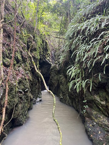
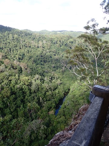
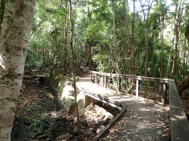
A great family walk up the side of the gorge to the lookout out across Obi Obi Creek as it heads north from the Baroon Dam and into the Blackall Range to join the Mary River.
 20
km
5
hrs
20
km
5
hrs
Baroon Pocket to Kondalilla Falls (return)
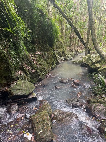
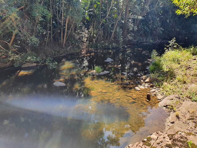
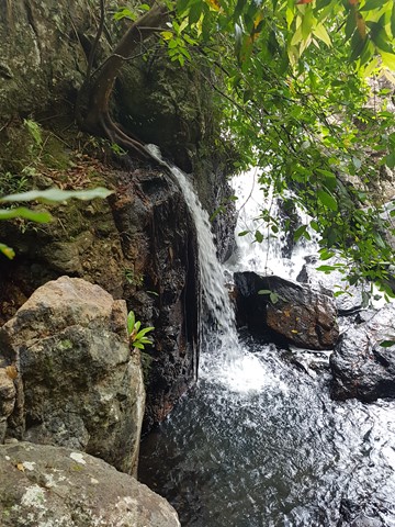
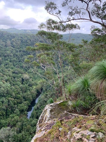
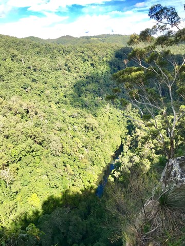
A stroll through the Southeast Queensland rainforest, with spectacular views down Obi Obi Creek.

 3.3
km
one-way
90
mins
3.3
km
one-way
90
mins
Baxter Falls - Northern Approach
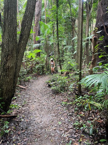
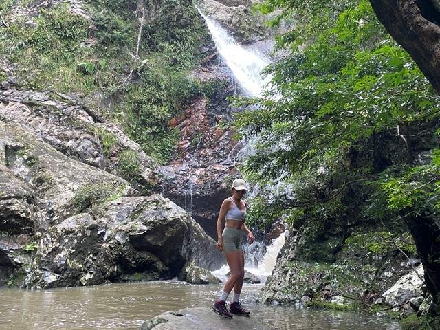
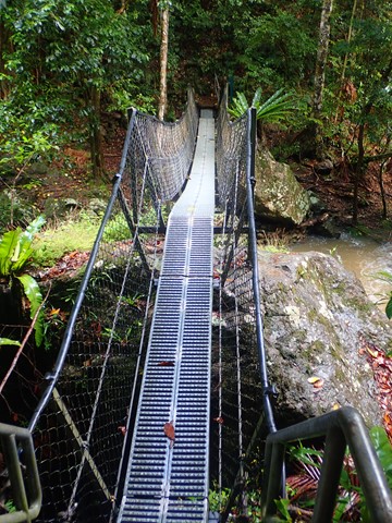
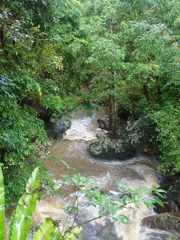
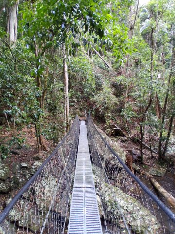
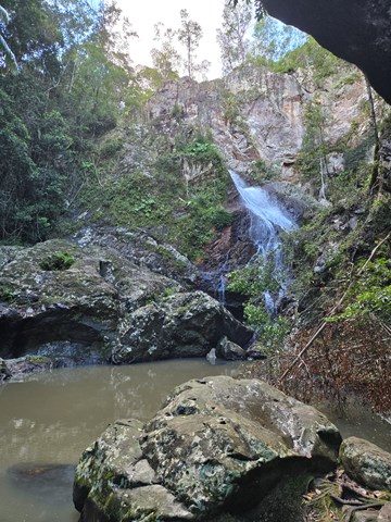
This walk leads through open eucalypt forest, dropping almost 300m down to the suspension bridge across Baxter Creek and the Falls to your left. The water falls into a 'bowl', before cascading into the bottom of the creek. Access to the 'bowl' is thought to be by bush bash to the left, but was not tracked.
 7.6
km
return
3
hrs
7.6
km
return
3
hrs
Baxter Falls - Southern Approach
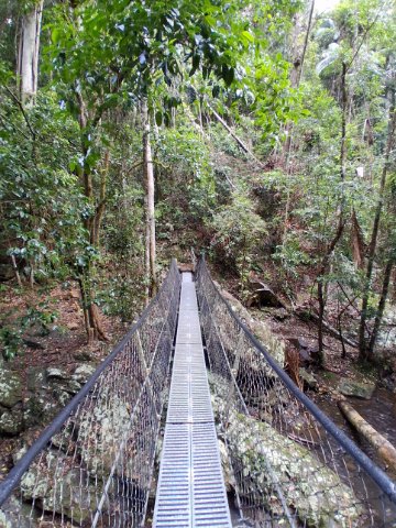
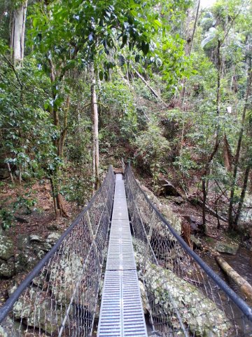
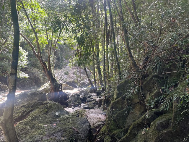
This walk leads through open eucalypt forest, past rocky outcrops and down the side of the gorge to Baxter Creek with its suspension bridge and beautiful waterfall.
 20
km
20
km
Great Sunshine Walk - Baroon Pocket Dam to Mapleton Falls
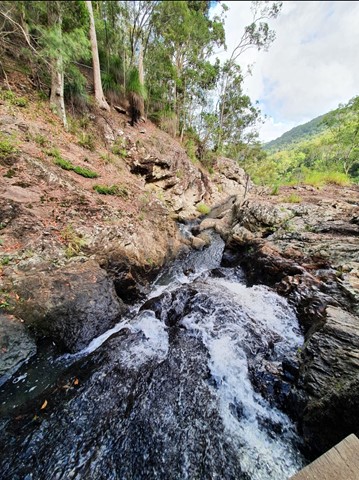
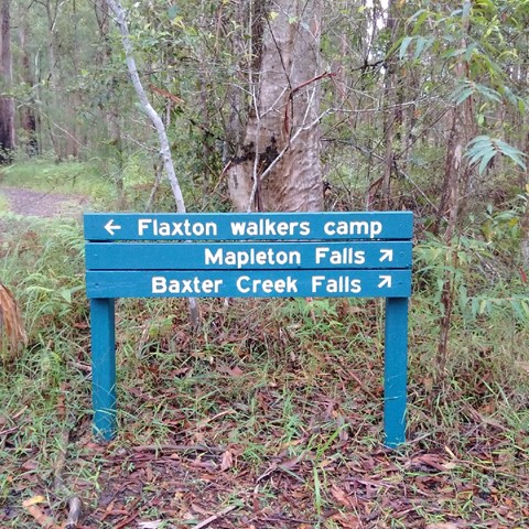
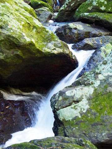
Great walk - half the great sunshine walk, enables you to do half one weekend and the other half later. Start at Baroon Pocket Dam, camp at flaxton camp and then finish in Mapleton Falls.
 4.7
km
2
hrs
4.7
km
2
hrs
Kondalilla Falls Circuit
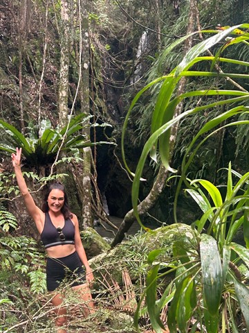
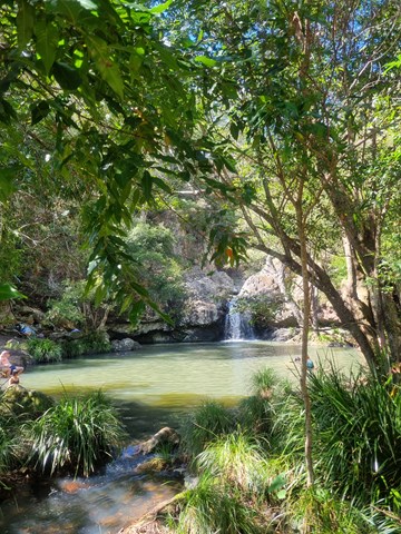
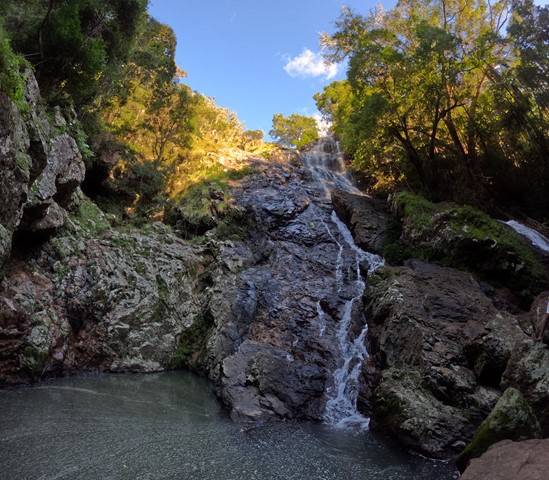
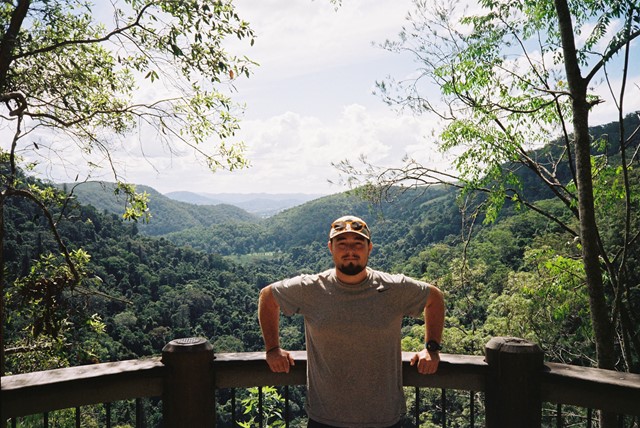
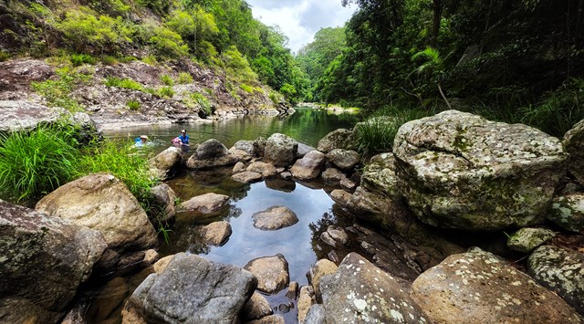
Kondalilla Falls (80m) is one of the most spectacular and accessible falls on the Sunshine Coast Hinterland. The walk down to the falls is 'family friendly' with some rock stairs and a maintained path. Great views of the rainforest valley from the natural rock pools at the top. You can swim in the rock pools at both the top and bottom of the falls.
 14
km
one-way
8.5
hrs
14
km
one-way
8.5
hrs
Obi Obi Gorge
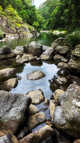
Either a rock hop and swim down Skene Creek and Obi Obi Creek. Alternatively you can follow the Great Walk Path ( A lot easier but not as scenic).
 1.7
km
return
45
mins
1.7
km
return
45
mins
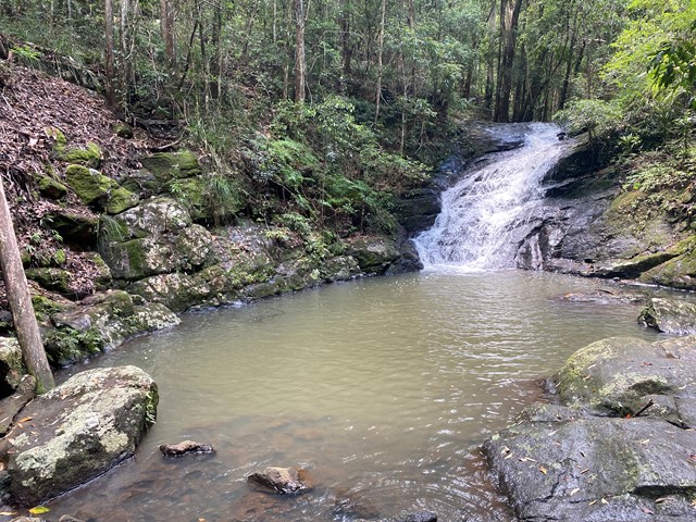
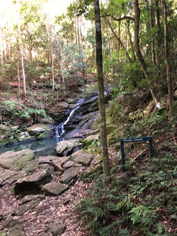
Picnic Creek Circuit
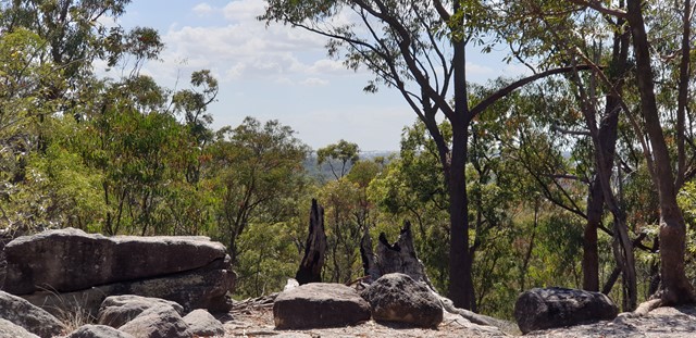
This easy walk crosses Picnic Creek, passes through tall eucalypt forest and patches of wet sclerophyll (a mix of eucalypt and rainforest species). Enjoy views over the valley from a lookout point.