
Menu
Popular Walks
-
Mt Ngungun
(1156 ticks) -
Mount Coolum
(872 ticks) -
Mt Cordeaux
(668 ticks) -
Twin Falls Circuit
(636 ticks) -
Purling Brook Falls Circuit
(611 ticks)
Summary
The Sunshine State
Queensland has a wealth of bushwalking opportunities including multiple World Heritage Listed rainforests such as the Daintree and Lamington National Park, great coastal and island parks like Fraser Island and Hinchinbrook Island.
Popular Walks
-
Mt Ngungun
(1156 ticks) -
Mount Coolum
(872 ticks) -
Mt Cordeaux
(668 ticks) -
Twin Falls Circuit
(636 ticks) -
Purling Brook Falls Circuit
(611 ticks)
Sub-Regions
Other Information
World Heritage Areas
- Fraser Island
- Gondwana Rainforests of Australia (Lamington NP, Springbrook NP, Mount Chinghee NP, Mount Barney NP, Main Range NP)
- Great Barrier Reef
- Riversleigh
- Wet Tropics (Daintree NP, Barron Gorge NP, Cedar Bay NP, Girringun NP, Wooroonooran NP)
Contact details
Queensland Parks and Forest:
https://parks.des.qld.gov.au/
Regions
The link below provides a region map of QLD as a reference to what council zones are included in the 7 geographic regions of QLD.
https://en.wikipedia.org/wiki/Regions_of_Queensland#/media/File:Qld-regions-map.gif
- Far North Queensland
- North Queesnland
- Central Queensland
- Mackay, Isaac and Whitsunday
- Wide Bay Burnett
- Darling Downs South West
- South East Queensland
Walks in Glen Rock Regional Park
(South East Queensland)
 3
km
return
3
km
return
 1
hr
1
hr
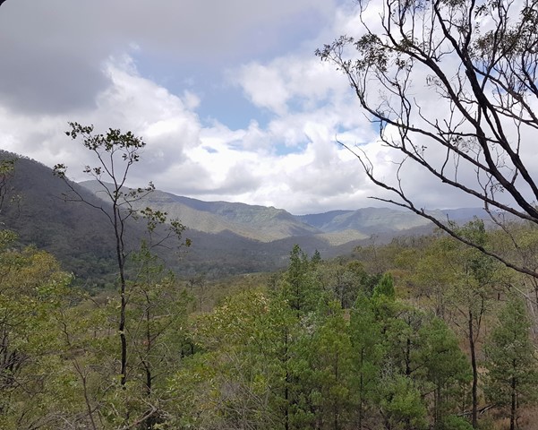
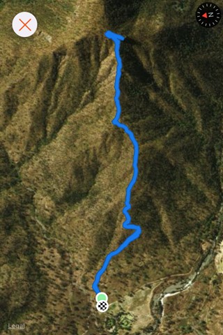
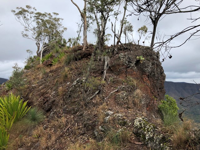
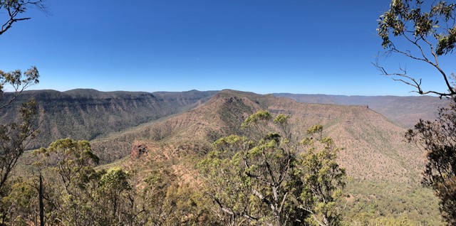
East Lookout
Climb to a lookout at the base of Glen Rock. This walk provides great views down the valley carved by Blackfellow Creek and a good overview of Glen Rock Regional Park.
 5
km
return
3
hrs
5
km
return
3
hrs
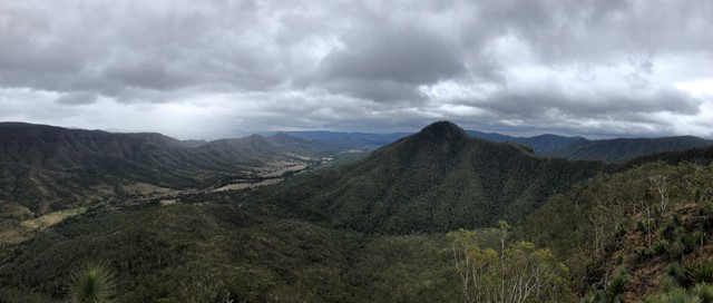
Glen Rock
Glen Rock State Forest is situated at the head of Tenthill Valley and adjoins the World Heritage-listed Main Range National Park.
 3.2
km
return
90
mins
3.2
km
return
90
mins
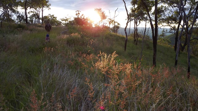
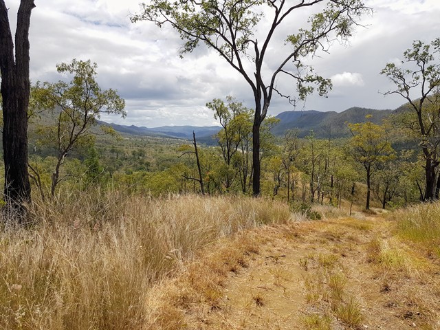
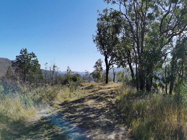
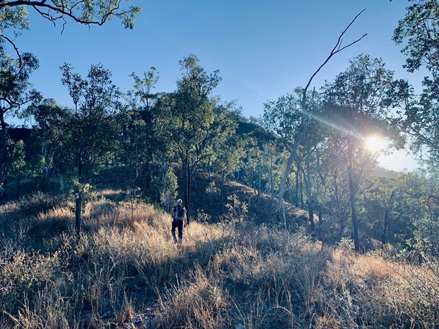
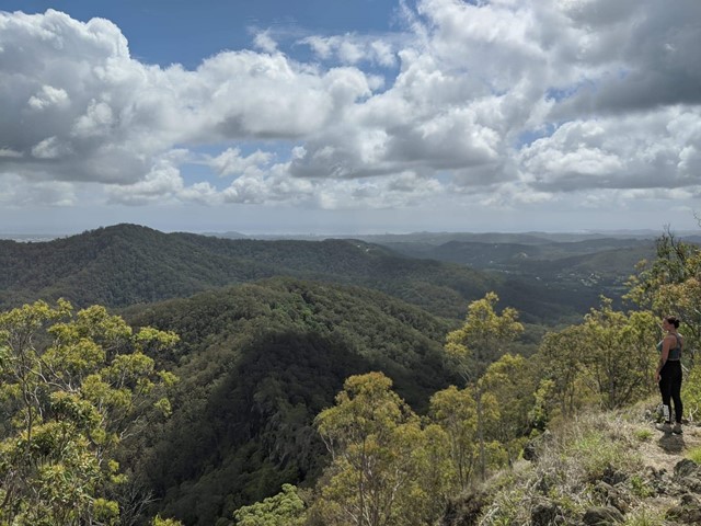
Mount Machar walking track
This short walk starts from the camping area, crosses the creek bed and goes up the hill to provide panoramic views of the valley. The eucalyptus trees block some of the view, but you can catch the sun coming over the mountains from here.
The path is a clear, wide strip of mowed grass and is easy to follow.
 13
km
return
5
hrs
13
km
return
5
hrs
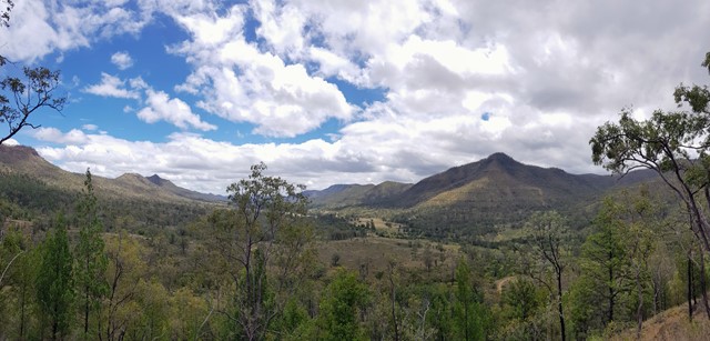
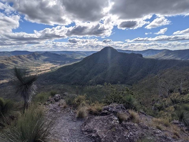
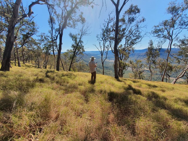
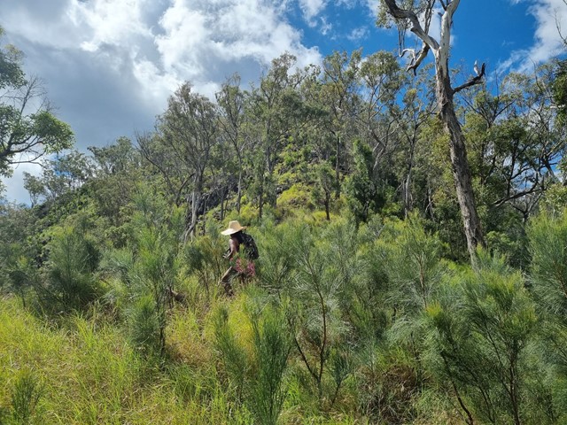
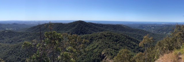
Mt Machar Ridge Summit Circuit
A challenging ridge walk incorporating the Mt Machar summit with some great views
 4.5
km
return
4
hrs
4.5
km
return
4
hrs
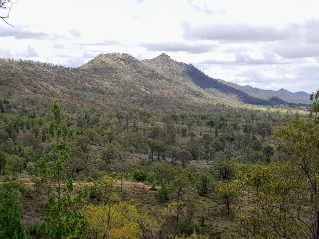
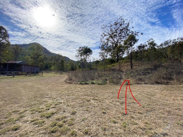
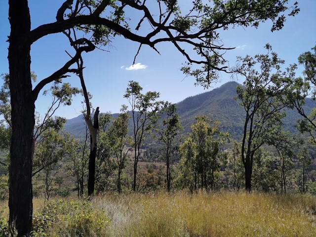
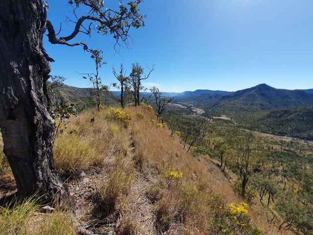
Mt Philp
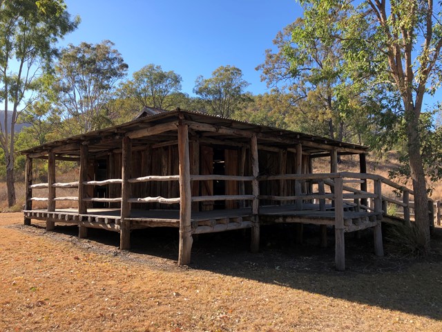
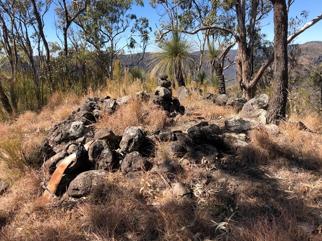
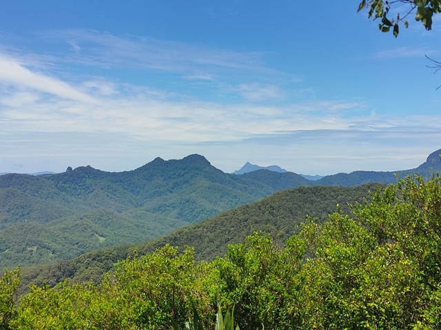
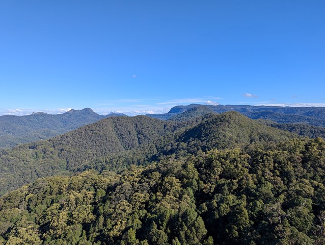
Mt Philp is located in GlenRock Regional Park and sits to the north of the ridge of Glen Rock.
There is no distinct track to the summit so you will have to navigate your way starting from the information shed opposite the day use area.
This climb can be steep in areas and will require some scrambling approaching the summit but you are rewarded with amazing views of Glen Rock and the ridge lines of the sorrounding area.
Walks in Gold Coast
(South East Queensland) 1
km
return
15
mins
1
km
return
15
mins
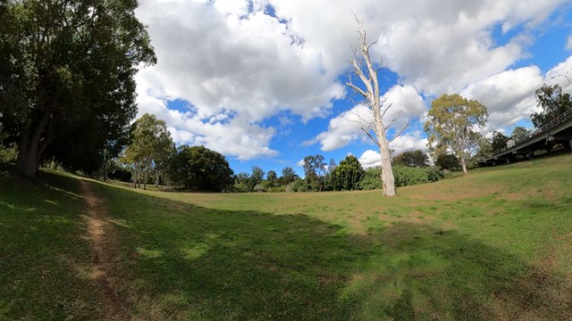
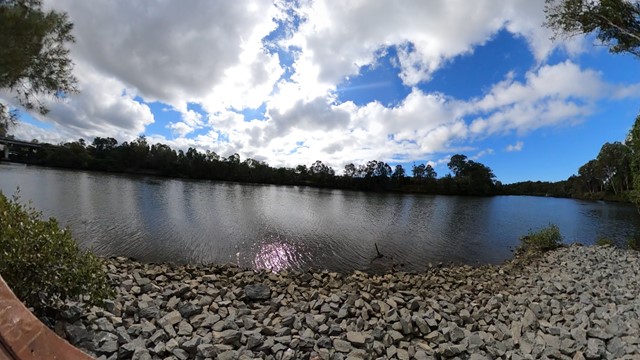
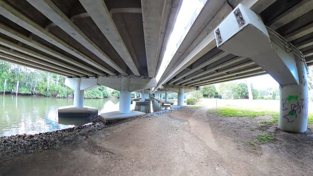
Arthur Earle park walk (Nerang River)
Short smooth walk along the Nerang river to a fishing platform
 9.5
km
return
4
hrs
9.5
km
return
4
hrs
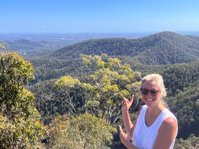
Bally Mountain Loop
A loop walk to the peak of Bally Mountain, an alternative to the out an back of the standard route.
 4.15
km
return
1
hr
4.15
km
return
1
hr
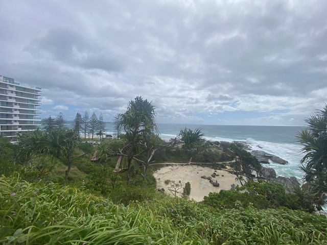
Boat Harbour, Point Danger and North Tweed Circuit
This return walk travels through the Rainbow Bay, Point Danger, the QLD/NSW border and Duranbah Beach (North Tweed). The entire circuit is paved.