
Menu
Popular Walks
-
Mt Ngungun
(1156 ticks) -
Mount Coolum
(872 ticks) -
Mt Cordeaux
(668 ticks) -
Twin Falls Circuit
(636 ticks) -
Purling Brook Falls Circuit
(611 ticks)
Summary
The Sunshine State
Queensland has a wealth of bushwalking opportunities including multiple World Heritage Listed rainforests such as the Daintree and Lamington National Park, great coastal and island parks like Fraser Island and Hinchinbrook Island.
Popular Walks
-
Mt Ngungun
(1156 ticks) -
Mount Coolum
(872 ticks) -
Mt Cordeaux
(668 ticks) -
Twin Falls Circuit
(636 ticks) -
Purling Brook Falls Circuit
(611 ticks)
Sub-Regions
Other Information
World Heritage Areas
- Fraser Island
- Gondwana Rainforests of Australia (Lamington NP, Springbrook NP, Mount Chinghee NP, Mount Barney NP, Main Range NP)
- Great Barrier Reef
- Riversleigh
- Wet Tropics (Daintree NP, Barron Gorge NP, Cedar Bay NP, Girringun NP, Wooroonooran NP)
Contact details
Queensland Parks and Forest:
https://parks.des.qld.gov.au/
Regions
The link below provides a region map of QLD as a reference to what council zones are included in the 7 geographic regions of QLD.
https://en.wikipedia.org/wiki/Regions_of_Queensland#/media/File:Qld-regions-map.gif
- Far North Queensland
- North Queesnland
- Central Queensland
- Mackay, Isaac and Whitsunday
- Wide Bay Burnett
- Darling Downs South West
- South East Queensland

 5
km
5
km
 2
hrs
2
hrs
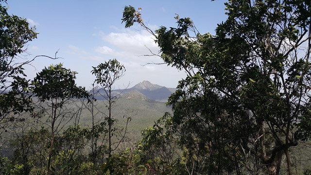
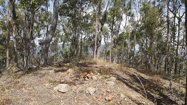
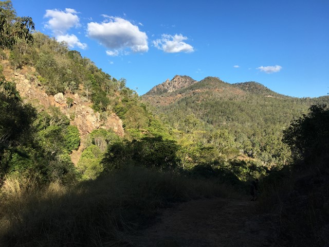
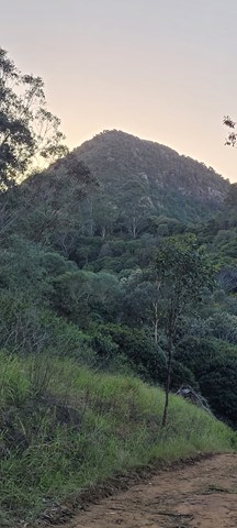
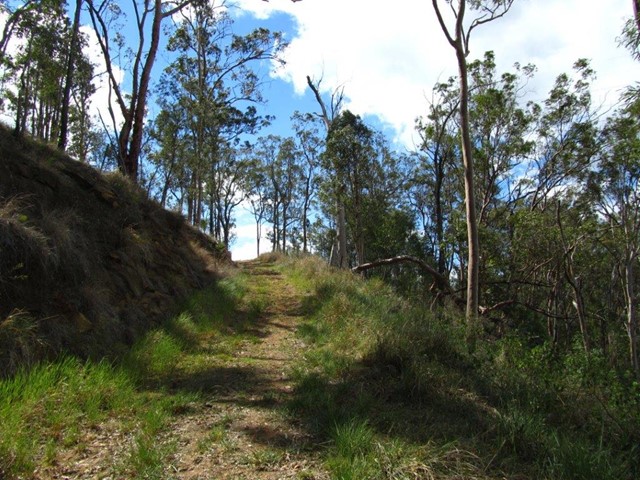
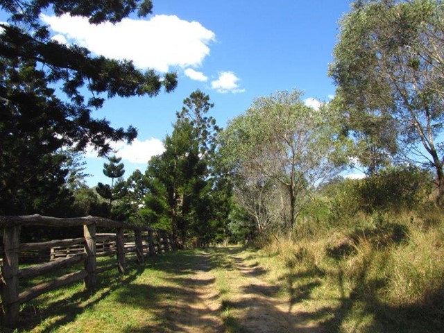
Mount Goolman
Easiest way is to start from the end of Stowers Rd. Follow fire trail keeping left at any intersections, and start of the track up is at -27.75821, 152.79298. Not an overly difficult climb, with a reasonably clear track all the way to the summit. Also a few ribbons may help you get there.
 2
km
return
90
mins
2
km
return
90
mins
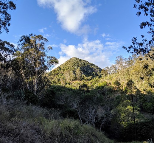
Mt Blaine Base Trail
Needing a moderate level of fitness you will pass through Spotted Gum and Ironbark forests, Brushbox and heathland. Keep an eye out for koalas, wallabies and the magnificent Red-tailed Black Cockatoos that call this area home.
Entry is from Flinders Plum Picnic Area
Take a short hike to the foot of Mt Blaine.
 5
km
return
3
hrs
5
km
return
3
hrs
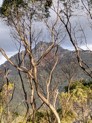
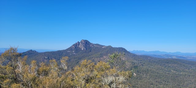
Mt Blaine Summit Trail
A challenging track to the summit of Mt Blaine. The trail consists of steep inclines and rock scrambling. The summit provides 360 degree view over Brisbane, Ipswich and the scenic rim and a great view of Flinders Peak. The track goes up the northern side, over the summit and back down the southern side. High level of fitness, off track experience, scrambling experience and solid boots are all recommended. Do not attempt this climb if you have knee problems, nervous conditions or vertigo.
 2.4
km
90
mins
2.4
km
90
mins
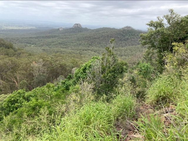
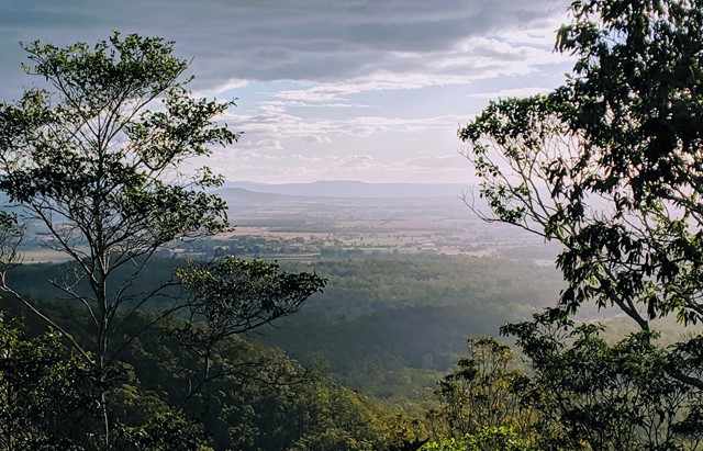
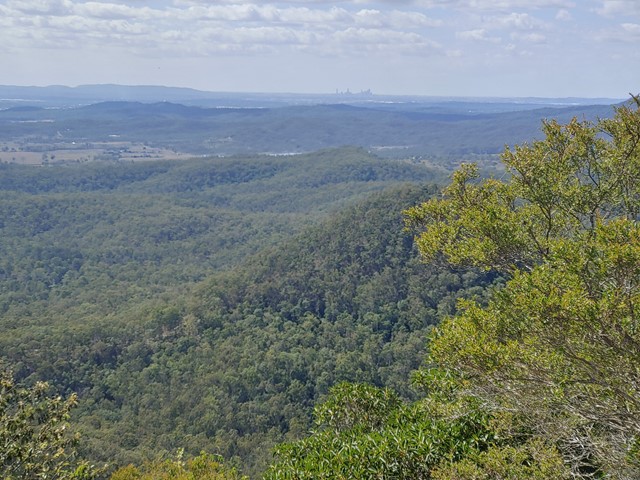
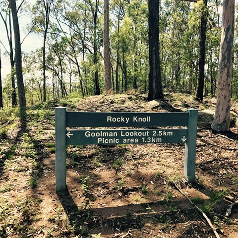
Rocky Knoll Lookout
Entry is from Hardings Paddock Picnic Grounds -
A moderate level hike through eucalypt woodlands to
Rocky Knoll lookout. Glimpses of the scenic rim and the
surrounding Ipswich area are provided along the way.
 15.5
km
return
4.5
hrs
15.5
km
return
4.5
hrs
Sandy Creek Central Ridge Track
This is a longer walk (hence the "Hard" grading) that is not overly difficult, and gives you a completely different view of Flinders Peak. The track does have a few very steep sections and is not well marked, with some of the markers giving you a very vague indication of which way to go.
 3.5
km
return
1
hr
3.5
km
return
1
hr
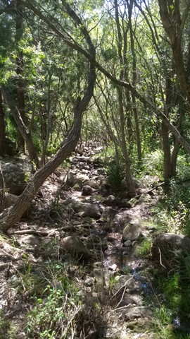
Sandy Creek Track
Walk through patches of majestic Hoop Pine forests following
Sandy Creek on this moderate level hike.
 800
m
one-way
20
mins
800
m
one-way
20
mins
Bearded Dragon Circuit
Haig Street Quarry Bushland Reserve is located only five
minutes drive from Ipswich Central, yet offers spectacular
views of the Scenic Rim. From Ipswich Central travel
northwest along Burnett Road toward Brassall. Burnett Road
will become Hunter Street. Turn left from Hunter Street onto
Haig Street (travelling west) and drive directly into the main
parking area.
This park has a beautiful display of wildflowers in spring and
has many water birds that live in and around the pond.
Visitors are advised to contact Ipswich City Council on
(07) 3810 6666 for access requirements if they wish to:
• Venture away from the designated picnic area or
graded track system
• Undertake organised group activities
• Undertake activities of a commercial nature
Under Council’s Local Laws, conducting or engaging in the
following activities is prohibited:
1.2
km
30
mins
Willy Wagtail Circuit
Haig Street Quarry Bushland Reserve is located only five
minutes drive from Ipswich Central, yet offers spectacular
views of the Scenic Rim. From Ipswich Central travel
northwest along Burnett Road toward Brassall. Burnett Road
will become Hunter Street. Turn left from Hunter Street onto
Haig Street (travelling west) and drive directly into the main
parking area.
This park has a beautiful display of wildflowers in spring and
has many water birds that live in and around the pond.
Visitors are advised to contact Ipswich City Council on
(07) 3810 6666 for access requirements if they wish to:
• Venture away from the designated picnic area or
graded track system
• Undertake organised group activities
• Undertake activities of a commercial nature
Under Council’s Local Laws, conducting or engaging in the
following activities is prohibited:
Walks in Binna Burra
(Lamington National Park, South East Queensland)
4.5
km
return
2
hrs
Bimboolba Lookout via Illinbah Track
A side track from the Illinbah track up to where a lookout on the old graded walk system used to be
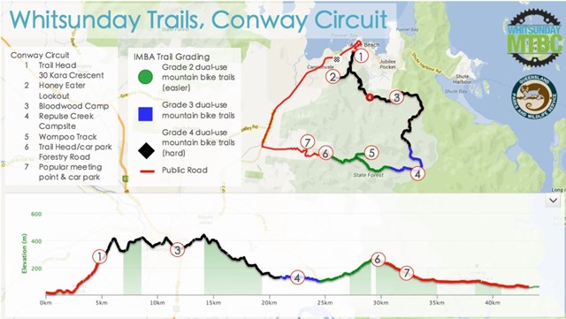
Walks in Mackay, Isaac and Whitsunday
27
km
return
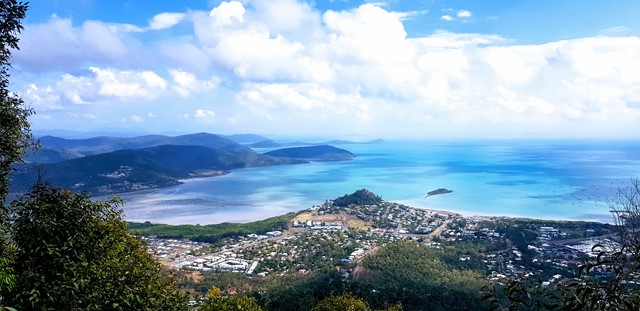
Conway Circuit (formerly Whitsunday Great Walk)
The tropical refuge of Conway National Park combines lush rainforest with magnificent views. The Conway Circuit takes you on a 28km journey through Conway State Forest starting at Brandy Creek (approximately a ten minute drive from Airlie Beach) and finishing in Airlie Beach.