


 3.5
3.5 1
1- Mt Blaine Base Trail (Ipswich - Flinders Goolman Conservation Estate)
- Mt Blaine Summit Trail (Ipswich - Flinders Goolman Conservation Estate)
- Sandy Creek Central Ridge Track (Ipswich - Flinders Goolman Conservation Estate)
- Flinders Peak & Caves (Ipswich - Flinders Goolman Conservation Estate)
- Flinders Peak - approach from South (Ipswich - Flinders Goolman Conservation Estate)
Sandy Creek Track
Ipswich - Flinders Goolman Conservation Estate
Menu

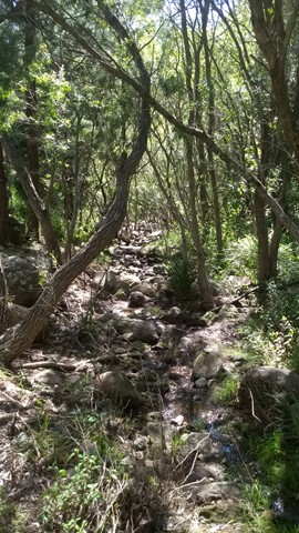

Walk through patches of majestic Hoop Pine forests following
Sandy Creek on this moderate level hike.
Bird Watching
Picnic Facilities
Toilets
Eucalypt Forest
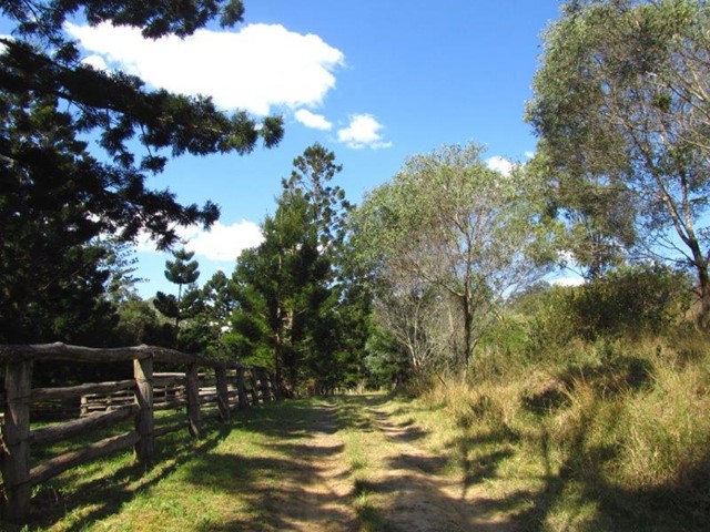
Getting there
Follow the unsealed Mt Flinders Rd, PEAK CROSSING until the end. There are a few water crossings so you may not be able to make it through if it has rained heavily in the last couple of days
Maps
Which maps cover the area?
Route/Trail notes
Walk through patches of majestic Hoop Pine forests following Sandy Creek.
Permits/Costs
None
Other References
GPS Tracks
- No GPS available for this walk yet.
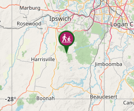
Where
Click here to load this map.
Comments