
Menu
Popular Walks
-
Mt Ngungun
(1156 ticks) -
Mount Coolum
(872 ticks) -
Mt Cordeaux
(668 ticks) -
Twin Falls Circuit
(636 ticks) -
Purling Brook Falls Circuit
(611 ticks)
Summary
The Sunshine State
Queensland has a wealth of bushwalking opportunities including multiple World Heritage Listed rainforests such as the Daintree and Lamington National Park, great coastal and island parks like Fraser Island and Hinchinbrook Island.
Popular Walks
-
Mt Ngungun
(1156 ticks) -
Mount Coolum
(872 ticks) -
Mt Cordeaux
(668 ticks) -
Twin Falls Circuit
(636 ticks) -
Purling Brook Falls Circuit
(611 ticks)
Sub-Regions
Other Information
World Heritage Areas
- Fraser Island
- Gondwana Rainforests of Australia (Lamington NP, Springbrook NP, Mount Chinghee NP, Mount Barney NP, Main Range NP)
- Great Barrier Reef
- Riversleigh
- Wet Tropics (Daintree NP, Barron Gorge NP, Cedar Bay NP, Girringun NP, Wooroonooran NP)
Contact details
Queensland Parks and Forest:
https://parks.des.qld.gov.au/
Regions
The link below provides a region map of QLD as a reference to what council zones are included in the 7 geographic regions of QLD.
https://en.wikipedia.org/wiki/Regions_of_Queensland#/media/File:Qld-regions-map.gif
- Far North Queensland
- North Queesnland
- Central Queensland
- Mackay, Isaac and Whitsunday
- Wide Bay Burnett
- Darling Downs South West
- South East Queensland
Walks in Far North Queensland

 2
km
2
km
 1
hr
1
hr
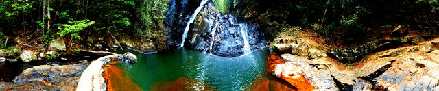
Mt Hypipamee NP
A spectacular view down into a large volcanic diatreme (pipe crater) awaits you at the end of the track. The crater is filled with water and a thick carpet of pond weed. The trail back spits off to Dinner falls, a lovely cool cascade in rainforest
 7
km
2
hrs
7
km
2
hrs
Mt Kootaloo
This track branches off from the Island walk - so both can be done together if you dont mind the backtrack. Can be steep in some sections
 6
km
return
2
hrs
6
km
return
2
hrs
Musgravea Track
This track is a multi-use track for walkers and mountain-bike riders. It is the only track in Djiru National Park where bicycles are permitted.
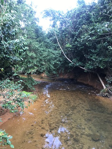
This mainly flat track is suitable for dry weather access and requires a medium level of fitness. It follows an old forestry road used in the 1960s and 1970s to haul timber from South Mission Beach to the El Arish timber mill. The track heads north from the car park at the Licuala day-use area and exits on to the El Arish–Mission Beach road about 2 km east of the Lacey Creek day-use area. For safety reasons, the old vehicle bridges have been removed and detours to the two creek crossings have been marked for walkers and cyclists. Bicycles will have to be carried down several steps, through the creek and up several steps at each creek crossing. Creeks in this area are subject to flash flooding and caution should be exercised.
 9.3
km
return
4
hrs
9.3
km
return
4
hrs
Saddle Mountain
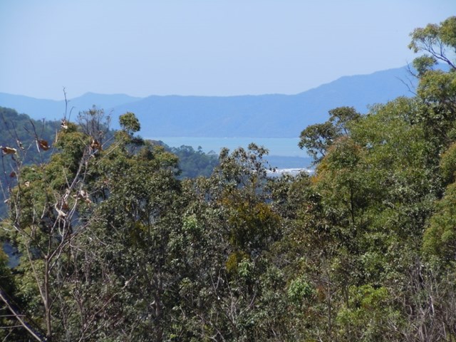
A steep walk up to the top of Saddle Mountain where you will get great coastal views from the radar station that sits at its summit.
 32
km
one-way
4
days
32
km
one-way
4
days
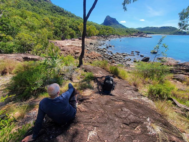
Thorsborne Trail, Hinchinbrook Island
Simply Incredible!
The walk (32KM) takes you from Lucinda by boat, taking a magical ride around the western side of the island to the north and then meandering through the river systems to your arrival point.
The journey starts with a walk along the beach, taking in the beautiful colours of the Coral Sea, before you enter the rainforest of the Island. You will traverse an array of different conditions, gradients, difficulties and various stunning scenery. There are bays, rocky outcrops, fresh water pools and amazing waterfalls. The trip take 3-5 day to complete. This hike has everything for everyone. Take your time, breath it in and feel a part of the World Heritage Listed Island/Walk. There is a maximum of 40 people on the walk at any given time, so book ahead with NPWS to secure your time/ days for the month you wish to walk.
Walks in Barron Gorge National Park
(Far North Queensland) 1.2
km
return
45
mins
1.2
km
return
45
mins
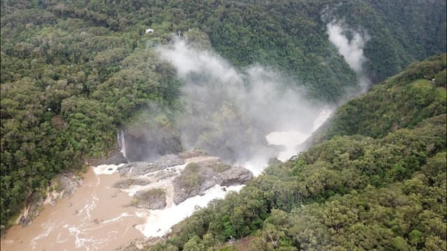
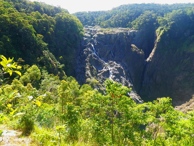
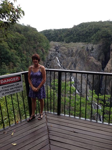
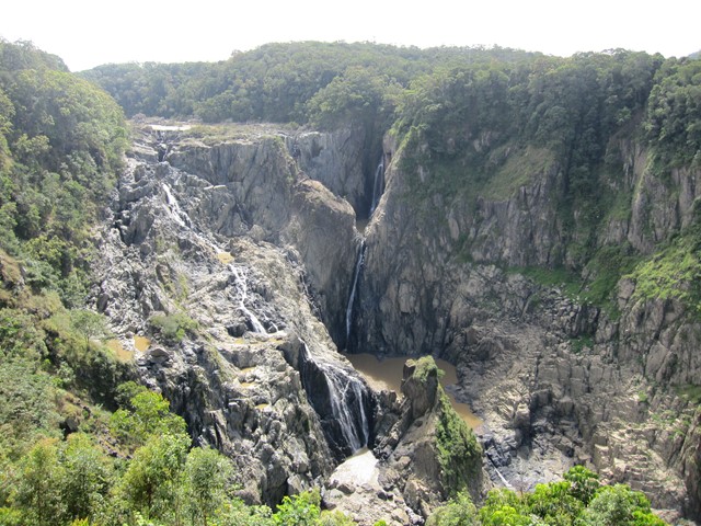
Barron Falls Lookout
A lovely little board walk with many information signs to a spectacular waterfall (especially in the wet season).
 3.6
km
one-way
2
hrs
3.6
km
one-way
2
hrs
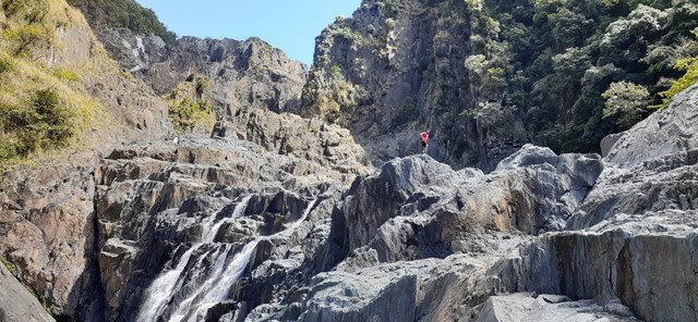
Barron Gorge Waterfalls
DRY SEASON ONLY
The walk starts at Barron hydro-electrical station and finishes on top of Barron Falls. It goes over all the waterfalls. Suited for Alpinist and Mountaineers with previous experience only.
 7.1
km
5
hrs
7.1
km
5
hrs
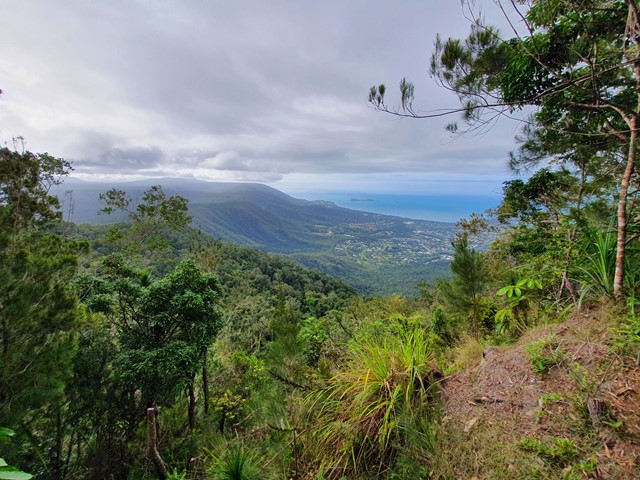
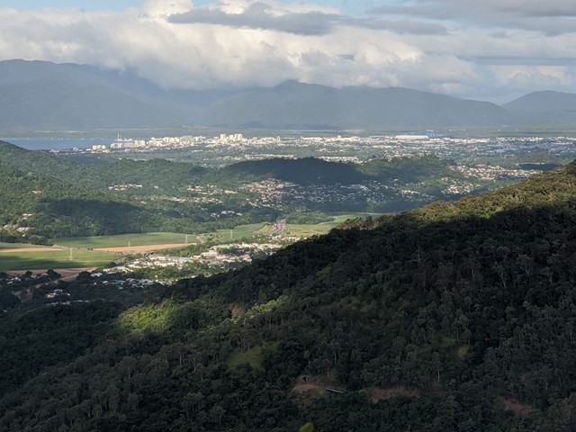
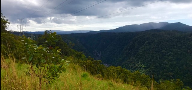
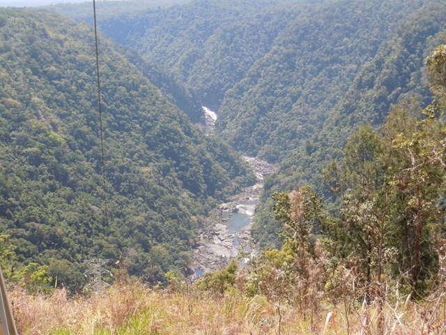
Glacier Rock via Douglas Track
A walk through rainforest to an ancient glacier rock with amazing views for a good chunk of it.
 9.4
km
return
4
hrs
9.4
km
return
4
hrs
McDonalds Track
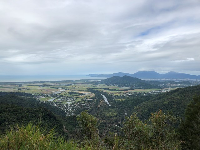
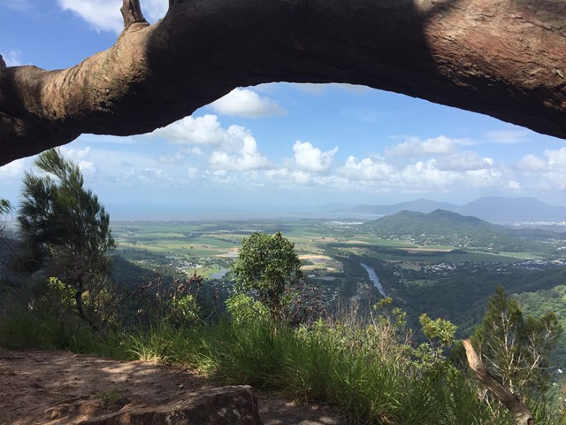
This historic track links Wright's Lookout to the Douglas Track, taking you from Kuranda down the Barron River Gorge. It provides views of the gorge from the southern side, seldom seen by the visitor unless they take the train down.