Menu
Popular Walks
-
Mt Ngungun
(1162 ticks) -
Mount Coolum
(874 ticks) -
Mt Cordeaux
(669 ticks) -
Twin Falls Circuit
(638 ticks) -
Purling Brook Falls Circuit
(611 ticks)
Summary
The Sunshine State Queensland has a wealth of bushwalking opportunities including multiple World Heritage Listed rainforests such as the Daintree and Lamington National Park, great coastal and island parks like Fraser Island and Hinchinbrook Island.
Popular Walks
-
Mt Ngungun
(1162 ticks) -
Mount Coolum
(874 ticks) -
Mt Cordeaux
(669 ticks) -
Twin Falls Circuit
(638 ticks) -
Purling Brook Falls Circuit
(611 ticks)
Sub-Regions
Other Information
World Heritage Areas
- Fraser Island
- Gondwana Rainforests of Australia (Lamington NP, Springbrook NP, Mount Chinghee NP, Mount Barney NP, Main Range NP)
- Great Barrier Reef
- Riversleigh
- Wet Tropics (Daintree NP, Barron Gorge NP, Cedar Bay NP, Girringun NP, Wooroonooran NP)
Contact details
Queensland Parks and Forest:
https://parks.des.qld.gov.au/
Regions
The link below provides a region map of QLD as a reference to what council zones are included in the 7 geographic regions of QLD.
https://en.wikipedia.org/wiki/Regions_of_Queensland#/media/File:Qld-regions-map.gif

- Far North Queensland
- North Queesnland
- Central Queensland
- Mackay, Isaac and Whitsunday
- Wide Bay Burnett
- Darling Downs South West
- South East Queensland
Walks in Darling Downs South West

 1.5
m
return
1.5
m
return
 45
mins
45
mins
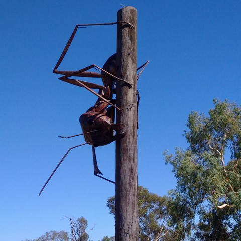
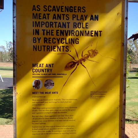
Meat Ant Park
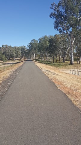
Good for a stop and stretch your legs, when travelling on the Landsborough (Matilda) Highway between Barcaldine and Charleville or Roma, with a short stroll along the levee.
 1
km
return
30
mins
1
km
return
30
mins
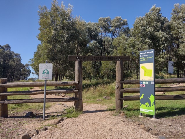
Mt Basalt
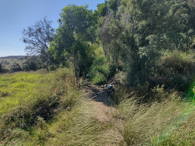
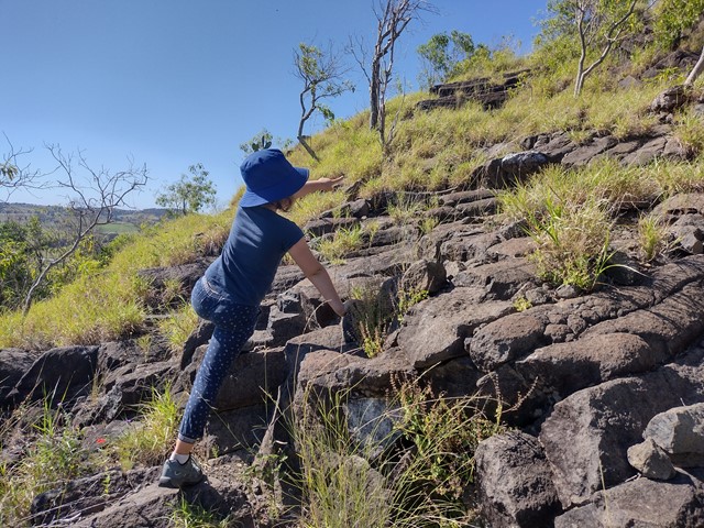
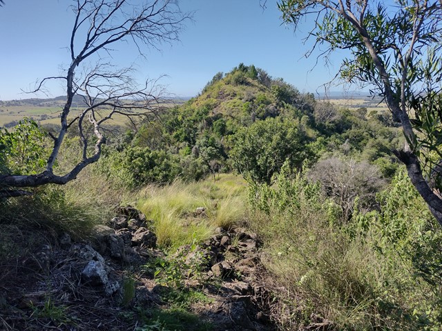
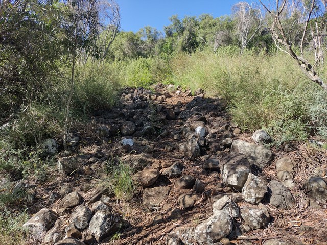
This unique geological and environmental area features rare volcanic formations and a few walking tracks that including rock-scrambling and lookouts with spectacular views. Note: Officially listed as Grade 4/Hard (steep incline + scrambling + loose surface), this trail can still be a fun adventure for the whole family - please take caution near cliff-edges and wear suitable footwear.
 600
m
return
30
mins
600
m
return
30
mins
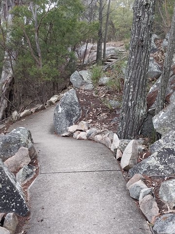
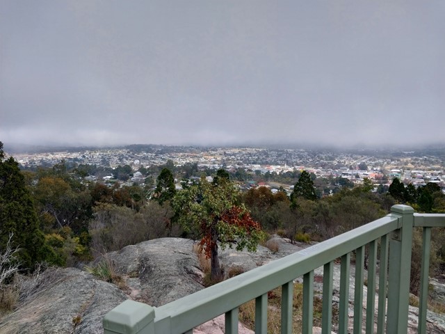
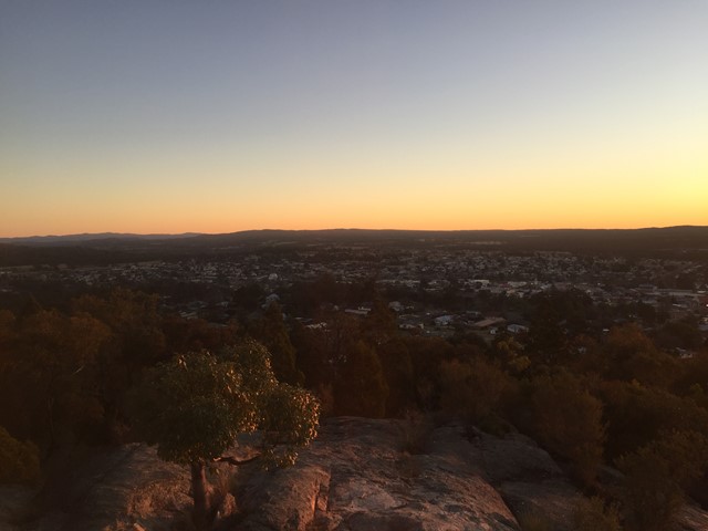
Mt Marlay Lookout & Summit Loop
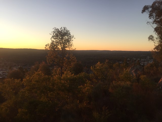
A short loop walk from the lookout around the summit with views in each direction.

 7.2
km
return
70
mins
7.2
km
return
70
mins
Munroe Tramway
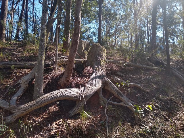
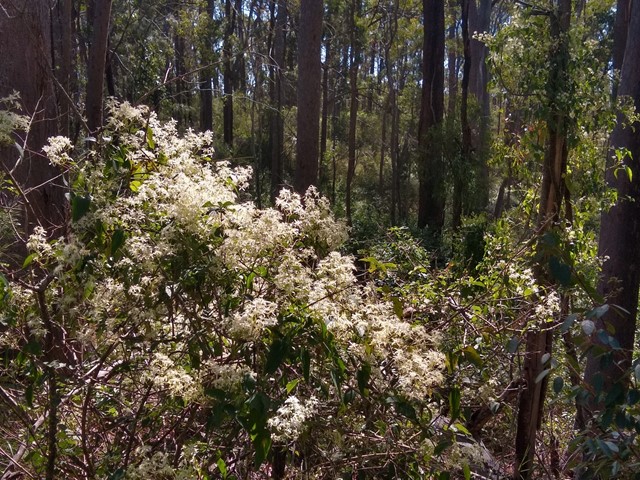
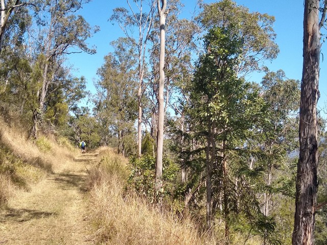
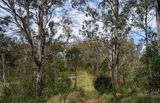
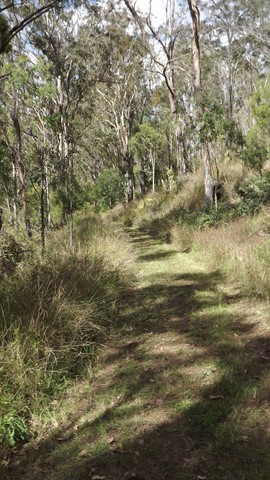
An easy, well-maintained walk through bushland and farmland, including some short sections that join up with the dirt road. Interpretive signs tell the history of the Munroe Tramway, and some lovely views/birdwatching opportunities. Officially listed as Grade 3/Medium difficulty (including some uneven surfaces and mild inclines), this track is suitable for walkers of most ages and fitness levels.
 5.2
km
return
75
mins
5.2
km
return
75
mins
Quart Pot Creek Pathway
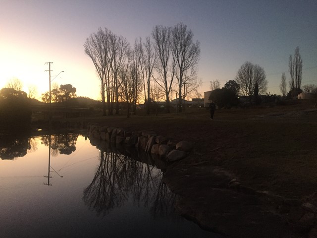
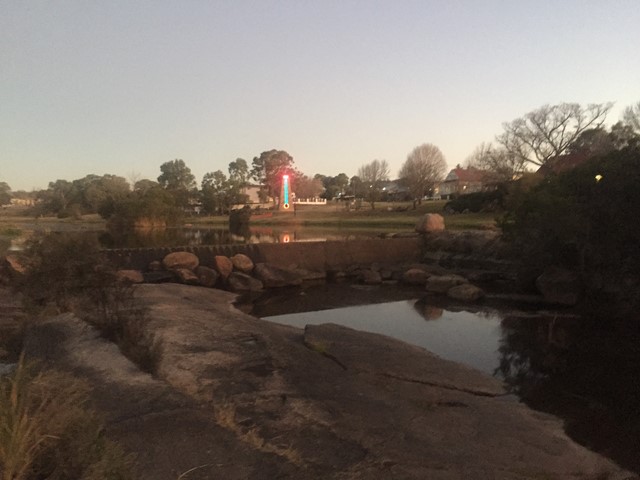
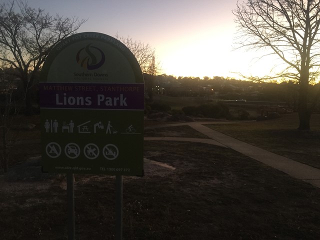
Pathway around Quart Pot Creek in the Quart Pot Creek Parklands in the centre of Stanthorpe.

 5.3
km
return
2
hrs
5.3
km
return
2
hrs
Riverbank Walkway
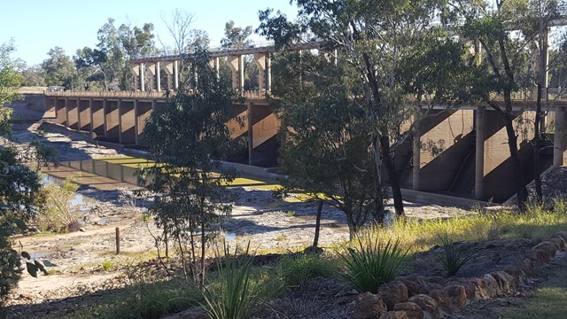
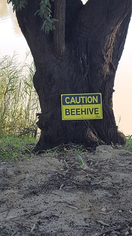
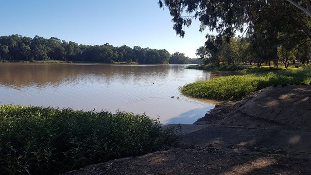
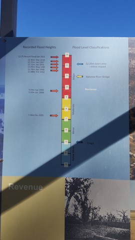
Car weary legs will appreciate this stretch of shady riverbank walkway flanking the town. A star feature, the Riverbank Walkway includes the Jack Taylor Weir and Andrew Nixon Bridge at the far end, with its commemorative stone to mark Sir Thomas Mitchell’s crossing of the Balonne River on St George’s Day back in 1846. Along the riverbank walkway, markers showcases the flood heights and history of the swollen Balonne River from years gone by.

 1.3
km
return
30
mins
1.3
km
return
30
mins
Roma Bush Gardens
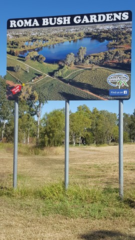
Encompassing the picturesque Railway Dam, this leisurely walk is a must for enthusiast of the Australian bush. The 14 hectare gardens showcase eleven vegetation communities local to the Roma region, including Brigalow, Coolibah and Mulga. The walk offers a great variety of different vistas of the dam, which is also regarded as a first-rate place for bird-watching. Read about the native plants through the interpretive panels as you navigate the loop.
 1.5
km
return
30
mins
1.5
km
return
30
mins
Sentimental Rocks
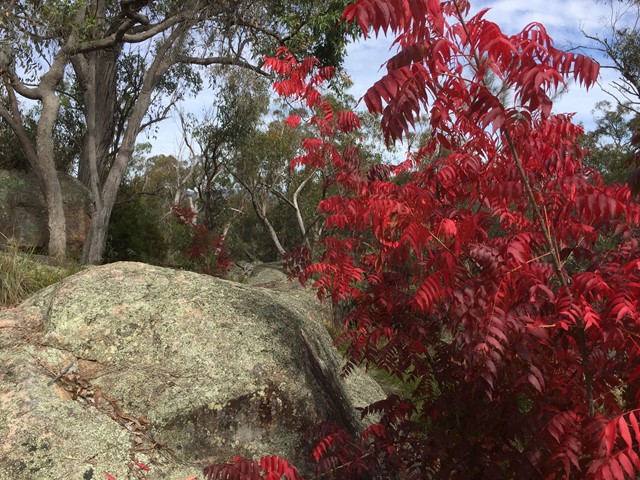
A little patch of bushland in Stanthorpe that offers a taste of the granite boulders the granite belt is known for. A mini Girraween National Park for those who run short of time to make it out there.
 3.7
km
return
90
mins
3.7
km
return
90
mins
Surat Riverwalk
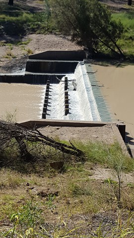
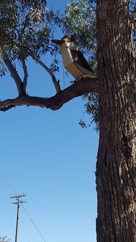
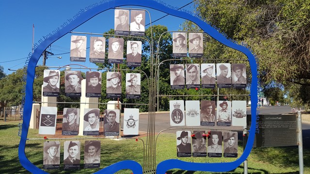
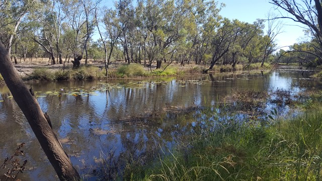
There is a park on the banks of the Balonne River which is a pleasant spot for a picnic. It is part of a walk along the Balonne River which includes footbridges, viewing platforms, Memorial Garden and a weir. There is an Aboriginal interpretative shelter which tells the story of local Aboriginal families and with any river bank environment out west, it is home to some impressive birdlife.
 2
km
return
45
mins
2
km
return
45
mins
The Gully Walk
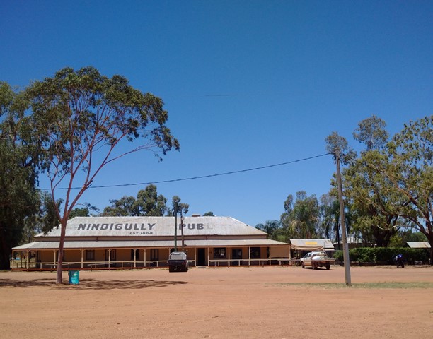
This is a stroll along the Moonie River right opposite the Nindigully Pub. It features a nice path with plenty signs in relation to local history and wildlife.