
Menu
Popular Walks
-
Mt Warning Summit Trail
(760 ticks) -
Minyon Falls Loop
(119 ticks) -
Bald Rock Summit
(113 ticks) -
Fingal Head Lighthouse Walk
(73 ticks) -
Grand Canyon Track
(55 ticks)
Sub-Regions
- Bald Rock National Park
- Barren Grounds Nature Reserve
- Barrington Tops National Park
- Basket Swamp National Park
- Blue Mountains National Park
- Boonoo Boonoo National Park
- Border Ranges National Park
- Cathedral Rock National Park
- Dorrigo National Park
- Gibraltar Range National Park
- Greater Sydney
- Gundabooka National Park
- Guy Fawkes River National Park
- Hat Head National Park
- Koreelah National Park
- Kosciuszko National Park
- Ku-ring-gai Chase National Park
- Kwiambal National Park
- Lord Howe Island
- Morton National Park
- Mount Kaputar National Park
- Mt Jerusalem National Park
- Mt Kosciusko
- Mt Warning National Park
- Mutawintji National Park
- New England National Park
- Nightcap National Park
- Oxley Wild Rivers National Park
- Pilliga Nature Reserve
- Royal National Park
- Warrumbungle National Park
- Wollumbin National Park
Summary
New South Wales (NSW), is a state found on the east coast of Australia.
Popular Walks
-
Mt Warning Summit Trail
(760 ticks) -
Minyon Falls Loop
(119 ticks) -
Bald Rock Summit
(113 ticks) -
Fingal Head Lighthouse Walk
(73 ticks) -
Grand Canyon Track
(55 ticks)
Sub-Regions
- Bald Rock National Park
- Barren Grounds Nature Reserve
- Barrington Tops National Park
- Basket Swamp National Park
- Blue Mountains National Park
- Boonoo Boonoo National Park
- Border Ranges National Park
- Cathedral Rock National Park
- Dorrigo National Park
- Gibraltar Range National Park
- Greater Sydney
- Gundabooka National Park
- Guy Fawkes River National Park
- Hat Head National Park
- Koreelah National Park
- Kosciuszko National Park
- Ku-ring-gai Chase National Park
- Kwiambal National Park
- Lord Howe Island
- Morton National Park
- Mount Kaputar National Park
- Mt Jerusalem National Park
- Mt Kosciusko
- Mt Warning National Park
- Mutawintji National Park
- New England National Park
- Nightcap National Park
- Oxley Wild Rivers National Park
- Pilliga Nature Reserve
- Royal National Park
- Warrumbungle National Park
- Wollumbin National Park
Other Information
...
Contact details
NSW National Parks and Wildlife Service
https://www.nationalparks.nsw.gov.au/
Regions
...
Walks in New South Wales

 10.5
km
return
10.5
km
return
 4.5
hrs
4.5
hrs
Sassafras Gully Loop
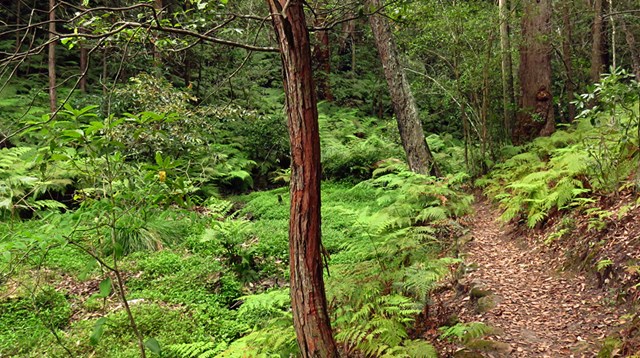
The Sassafras Gully loop is an excellent walk setting out from Springwood Station. The walk uses the gullies to navigate past some wonderful rock features, dense bushland and waterfalls. A nice cool walk in the shade and never too far from water.
 10.8
km
return
2.2
hrs
10.8
km
return
2.2
hrs
Shaws Bay Ballina to Flat Rock
A pleasant walk that is close to town with options to walk on the path or the beaches. Options for cafes, lookouts and toilet stops too.
 6
km
one-way
3
hrs
6
km
one-way
3
hrs
Shelley Head Camp Ground (From Angourie)
This campground is a lovely spot to walk to for a day picnic, swim and explore. It also has overnight walk in camps available if you wish to saty. You can access it from Angourie, heading south for 6km's or Lake Arragan, walking north for 7km's. This walk makes up part of the larger Yuraygir Coastal Walk.
 45
km
one-way
2
days
45
km
one-way
2
days
Six Foot Track
The Six Foot Track has become one of the “classic” NSW overnight walks since it was opened for bushwalking in 1984. It follows the route of the original six foot wide bridle track between Katoomba and Jenolan caves built in 1884. A significant part of the track traverses farming land or uses 4WD roads (and all the official camp sites are accessible by 4WD) so don't expect a wilderness experience!
 8.3
km
return
3
hrs
8.3
km
return
3
hrs
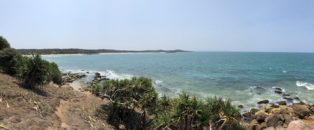
Snapper Point
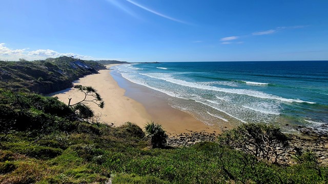
A lovely easy walk in the Dirawong Reserve (Dirawong is the aborigine word for goanna) for all the family, with plenty of ‘rewards’ through low coastal scrub, along the coastal pathways, pebble and sandy beaches, swimming, rock pools and rock hops, to the great views from the headland
 6
km
one-way
2.5
hrs
6
km
one-way
2.5
hrs
Somersby Store to Ourimbah Valley (GNW)
Starting with a walk through the streets of urban Somerbsy, you soon leave the farms and head into Palm Grove Nature Reserve. First you will follow the signposted track down the open dry ridge to the dense rainforest. In this valley you can explores the moist rainforest with towering Eucalypts, Strangler Fig trees, Cabbage Palms and a tangle of vines. From here walk up the rocky track to another dry ridge, where you can follow a side trip to a flat clearing and designated campsite. From near the campsite the track winds down through another moist forest and past more Cabbage Palms before coming to the signposted Ourimbah Valley Trackhead on Ourimbah Creek Road.
 3
km
return
90
mins
3
km
return
90
mins
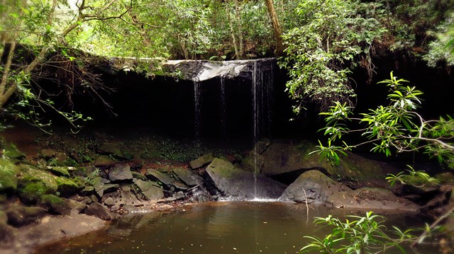
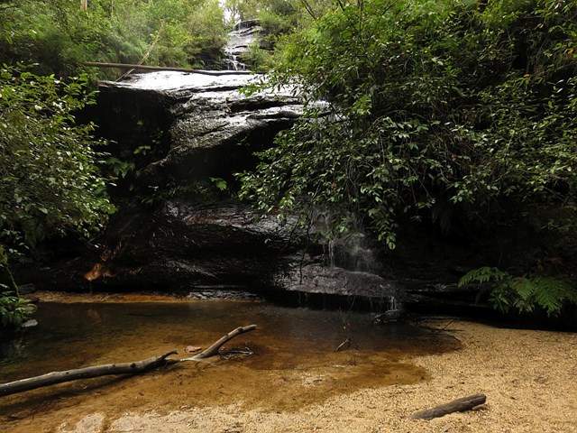
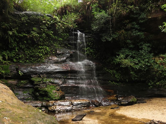
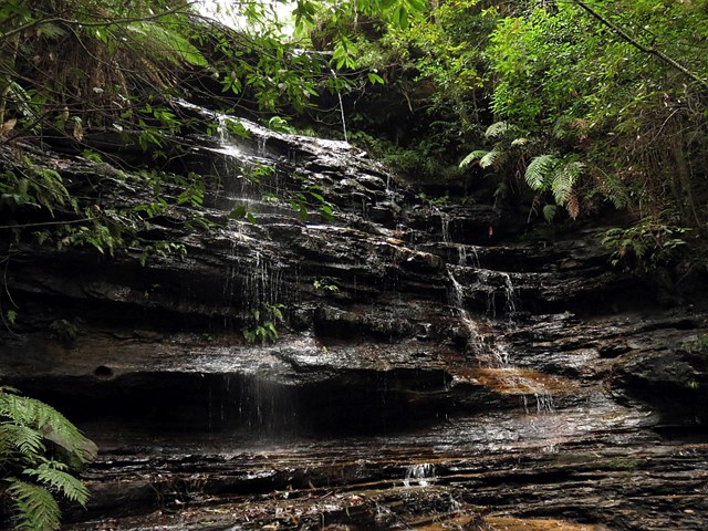
South Lawson Waterfall Circuit
South Lawson Waterfall Circuit is three kilometres long and traverses South Lawson Park passing four very different waterfalls: Adelina Falls, sand lined Federal Falls, Cataract Falls and Junction Falls - an amphitheatre of cascading water.
 6.1
km
return
2
hrs
6.1
km
return
2
hrs
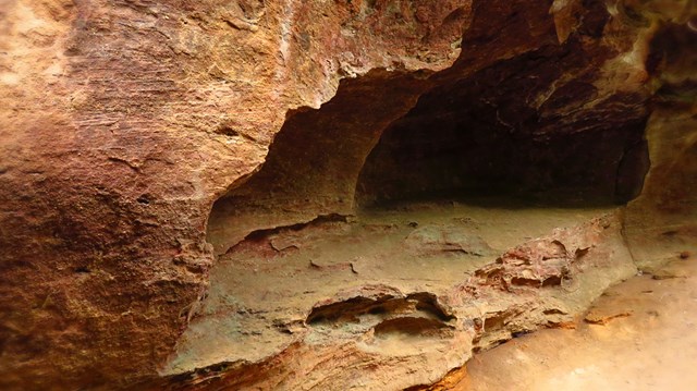
Southern Lost City to Northern Lost City loop using Miners Pass Link Track
A loop through the impressive pagodas of the lost city within the Gardens of Stone Conservation Area.
6.3
km
return
2
hrs
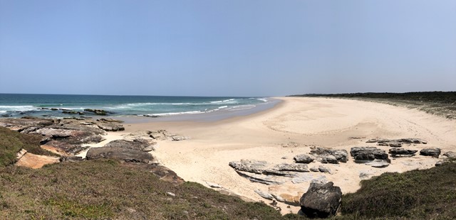
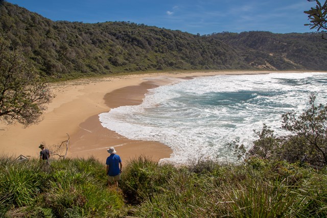
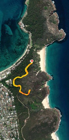
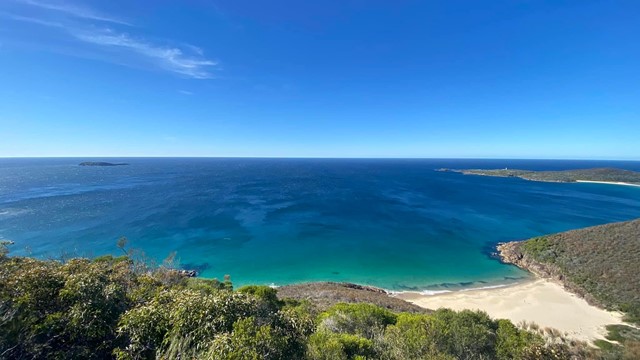
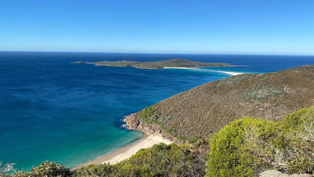
Steamers Beach
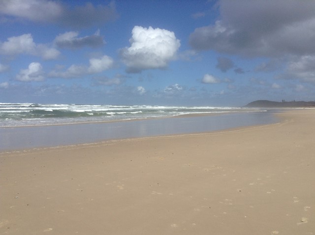
Steamers Beach is a surf beach accessed by a rough 4WD track, which can also be combined into a longer circuit. A nice and relatively secluded beach. The high, vegetation-covered sand dunes behind the beach are a result of a “mega tsunami” which occurred around 6700–7000 BC.
 2.5
km
return
90
mins
2.5
km
return
90
mins
Stephens Peak
Stephens Peak has 360 views of the region. It is more the local alternative to Mt Tamoree which is more touristy