
Menu

 1.5
km
return
1.5
km
return
 45
mins
45
mins
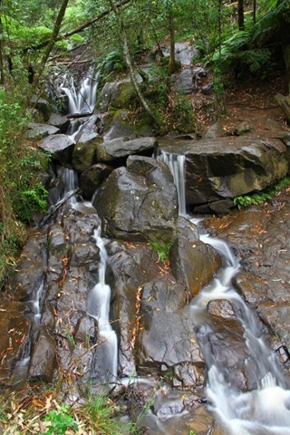
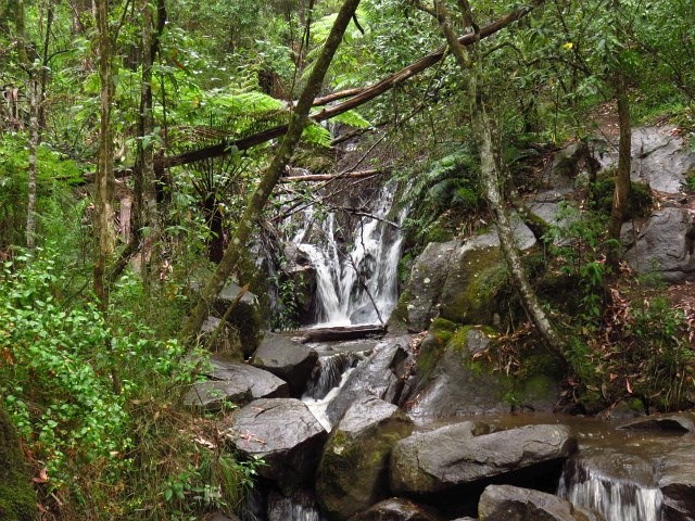
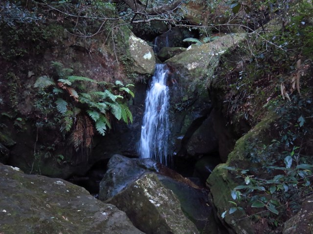
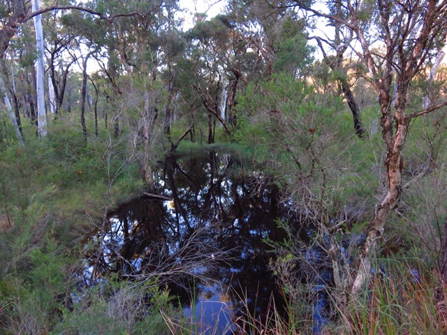
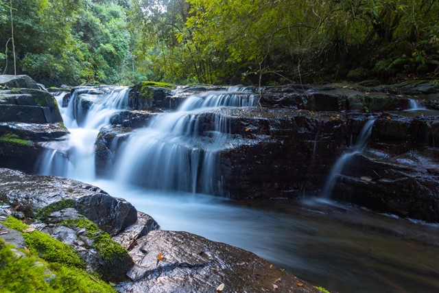
Olinda Falls
Located in the cool climate of the Dandenong Ranges, Olinda Falls is a perfect place to have a quiet picnic, short walk and spend time with the family.
The walk to Olinda Falls is only 350 Metres to the viewing platform and 500 Metres to the base of the falls. The walk itself takes between 10 – 15 minutes and is shaded from the carpark all the way down to the falls. There are picnic tables, running water, toilets and plenty of shade to sit in.
 12
km
5
hrs
12
km
5
hrs
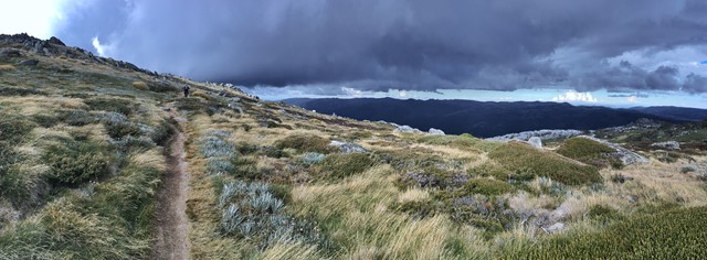
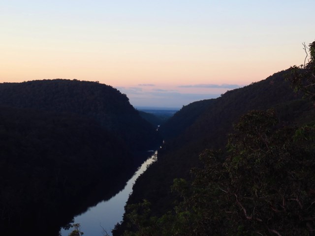
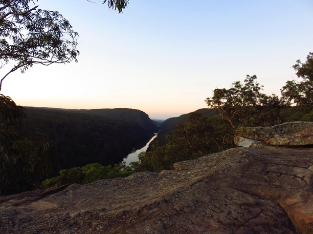
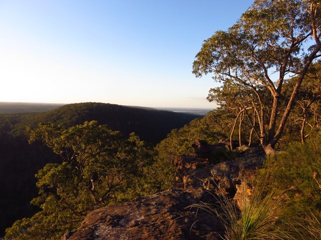
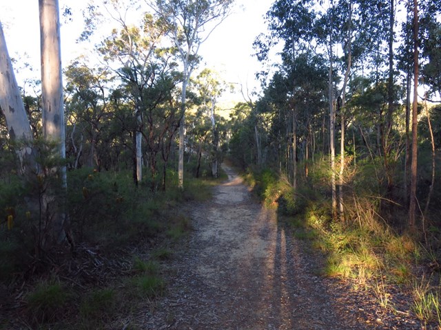
Dead Horse Track
From the Cascade Trail Head (3km West of Thredbo Village)Head 5km up Dead Horse Track to Eagles Nest Cafe (Top of Chair lift) Nice spot for a cuppa and some brunch, then follow 'Merritts nature trail' down, until it joins up with 'Meadows nature trail' which will join up with the 'river walk' then the final 3kms along Dead horse track back to your car...
 4.2
km
one-way
2.5
hrs
4.2
km
one-way
2.5
hrs
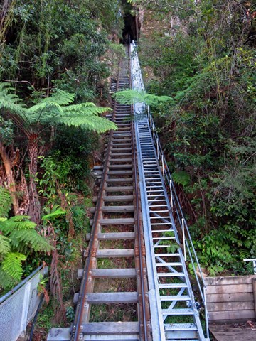
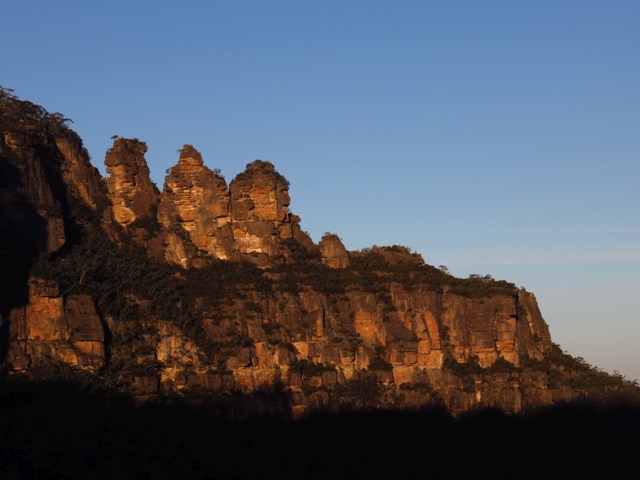
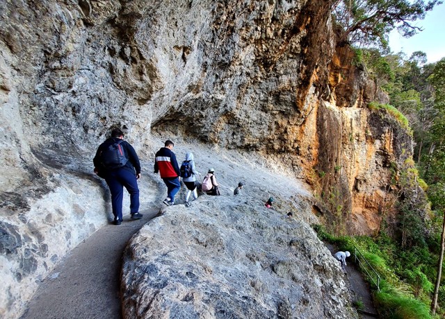
Echo Point to Scenic World via Giant Stairway
For a memorable day out in famous Blue Mountains National Park that takes in renowned views, try the easy walking track from Echo Point lookout to Scenic World via Giant Stairway. Pack a picnic and round up the family for a day of magnificent sights, fresh mountain air and unique history on this iconic walk.
Gaze at the scenic vista before descending the valley via the 800-plus steel and stone steps, originally constructed in 1909. Marvel at the fabulous Three Sisters from the ground up. From here it’s an easy stroll along Federal Pass to Katoomba Falls.
Arriving at Scenic World, you might be tempted to ride the historic Scenic Railway to the cliff top. Originally built in the 1880s to carry coal, it’s the steepest railway of its kind in the world and tilts at a whopping 52 degrees. Just remember, the last train up is at 4.50pm, so give yourself plenty of time to reach the station.
 5.1
km
return
105
mins
5.1
km
return
105
mins
Rileys Mountain Trail
A meandering walk through fragant wattle along quiet fire trails with panoramic views of the Nepean Rive and Blue Mountains National Park.
 6
km
return
90
mins
6
km
return
90
mins
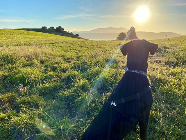
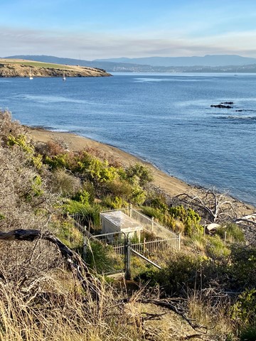
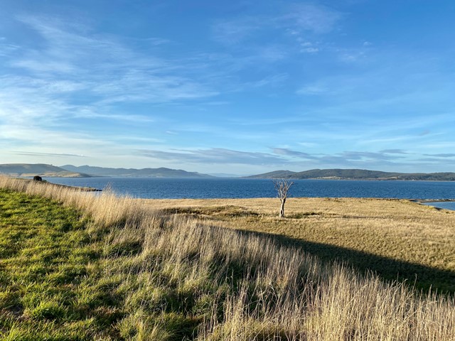
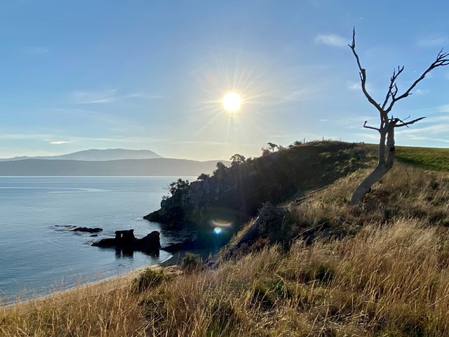
Arm End Circuit
The Arm End Circuit is an easy 1.5-2 hour walk with plenty of views across to Hobart, Kingston & Bruny Island. There are also several beaches to explore & it’s dog friendly (on-lead).
 4.5
km
return
2
hrs
4.5
km
return
2
hrs
Sharpes Creek Track
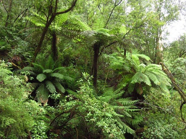
A walk through rainforest in the eastern section of Barrington Tops National Park from the Gloucester River Camping Area to the top of the hill and back via the road.
2.5
km
return
1
hr
Gloucester River Track
A track following the eastern side of the Gloucester River through dry rain forest.
 2.5
km
return
90
mins
2.5
km
return
90
mins
Antarctic Beech Track
A loop track that passes through large stands of Antarctic Beech and fern filled gullies.
2.5
km
one-way
1
hr
River Track
A walk in the Gloucester Tops section of Barrington National Park that follows the Gloucester River passing through through sections of sub Alpine swamp.
1.5
km
return
1
hr
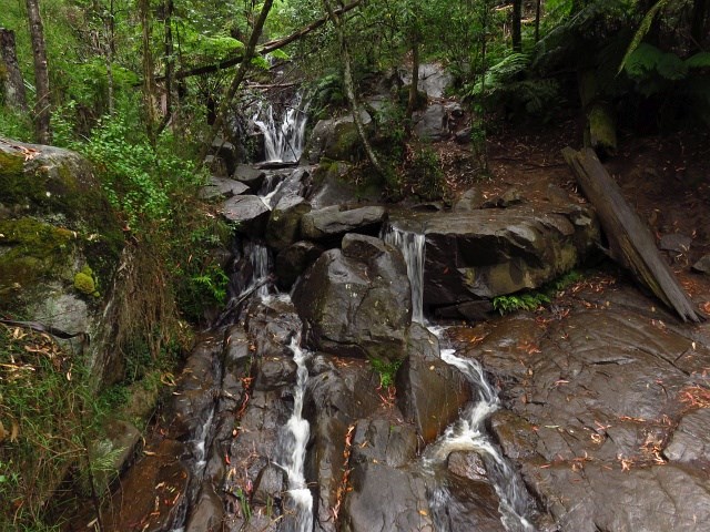
Gloucester Falls Walk
A loop track in the Gloucester Tops section of Barrington National Park that takes you to a lookout over the Gloucester Falls.
400
m
one-way
20
mins
Thunderbolt's Lookout
This is a short walk to a lookout over the escarpment in the northern section of Barrington Tops National Park.
400
m
return
20
mins
Polblue Falls
A short walk in the northern section of Barrington Tops National Park to a lookout over the picturesque Polblue Falls.
3
km
return
1
hr
Polblue Swamp Track
A lovely walk around a Swamp that drains into streams throughout the Barrington Tops National Park bringing nourishment to the flora and fauna downstream.
16
km
return
5
hrs
Rocky Crossing Track
A beautiful track through rain forest in the Williams River section of Barrington Tops National Park that includes side tracks to the river as well as a huge Strangler Fig.
 100
m
return
10
mins
100
m
return
10
mins
Devil's Hole Lookout
A short walk to a breathtaking view over Barrington Tops National Park.
1
km
one-way
30
mins
Burraga Swamp Track
A lovely walk in Barrington Tops National Park southern section through an Antarctic Beech and fun forest leading to a swamp.
5.2
km
return
90
mins
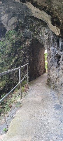
Caves Track
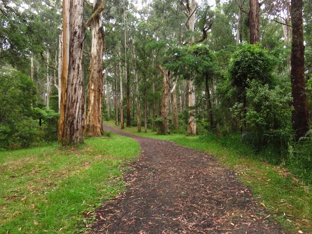
From the information centre, this interesting track winds up through open forest and rainforest to emerge on the road opposite the ship's Stern track entrance. It provides excellent views into the Coomera Valley and passes a large red cedar and fine specimens of other rainforest tree species. A range of volcanic rock types and formations can be observed. Koalas are often seen in open forest area along the walk. Take care when walking down the bitumen road to return to the start of the circuit, especially on weeekends when traffic is heavy. A self guiding brochure for this circuit is available at the information centre, Lamington Teahouse and at Binna Burra Lodge.
 1.5
km
return
45
mins
1.5
km
return
45
mins
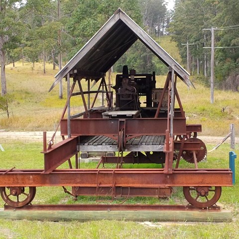
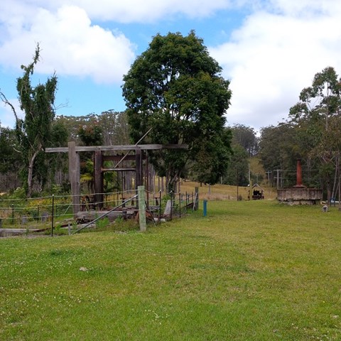
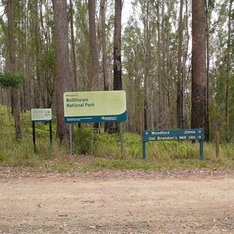
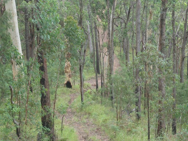
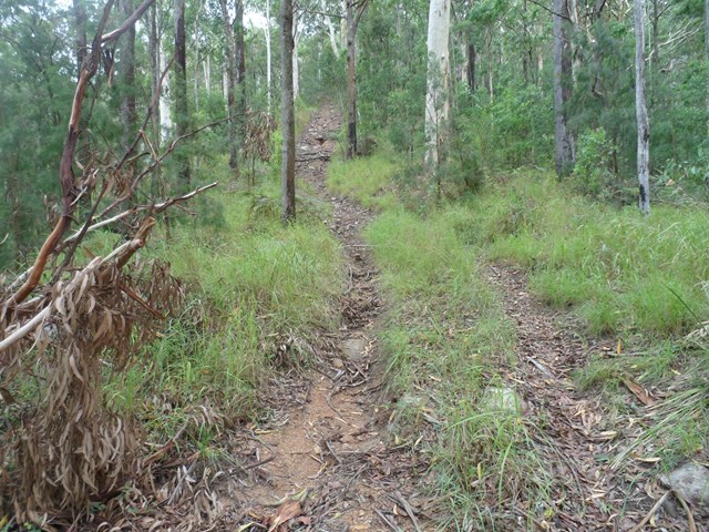
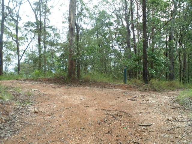
Brandson Saw Mill
This rugged national park features open eucalypt forest, rainforest and cascades along picturesque Stony Creek. Remnants of Brandon’s Timber Sawmill can still be seen on West Bellthorpe Road. Branch Creek Road offers a moderately challenging and picturesque 4WD opportunity as it winds up through the middle of the park.
Although this is predominantly a 4wd and horse riding park , there’s nothing stopping you parking your car at a gate or side of road and walk to the destinations.
 4
km
return
78
mins
4
km
return
78
mins
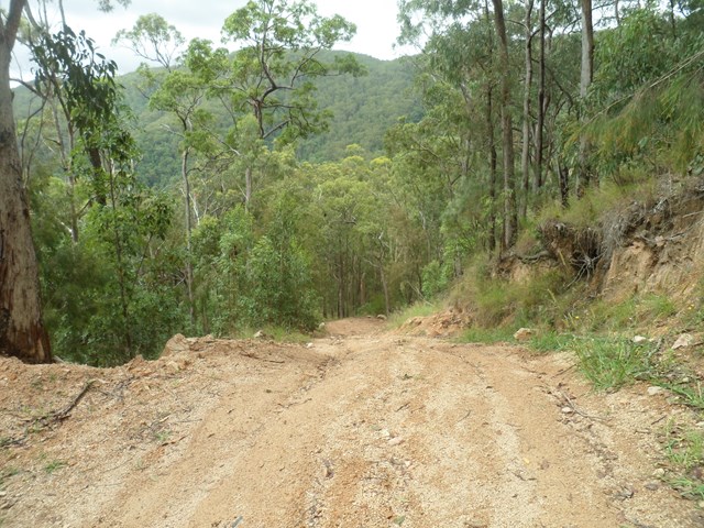
Beacon View Walk
This rugged national park features open eucalypt forest, rainforest and cascades along picturesque Stony Creek. Remnants of Brandon’s Timber Sawmill can still be seen on West Bellthorpe Road. Branch Creek Road offers a moderately challenging and picturesque 4WD opportunity as it winds up through the middle of the park.
Although this is predominantly a 4wd and horse riding park , there’s nothing stopping you parking your car at a gate or side of road and walk to the destinations.