
Menu

 3
km
3
km
 1
hr
1
hr
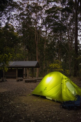
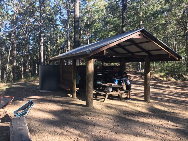
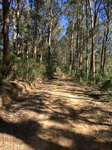
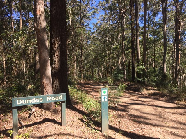
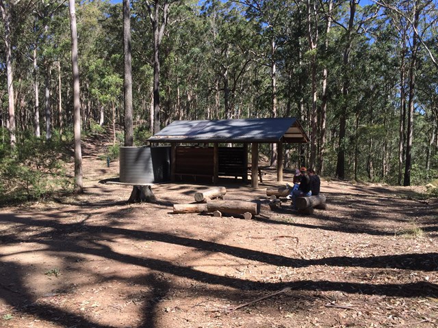
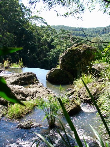
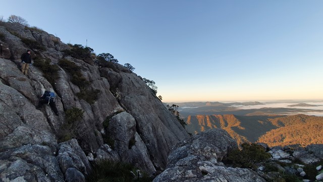
Dundas Road bush camp walk
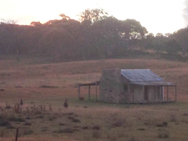
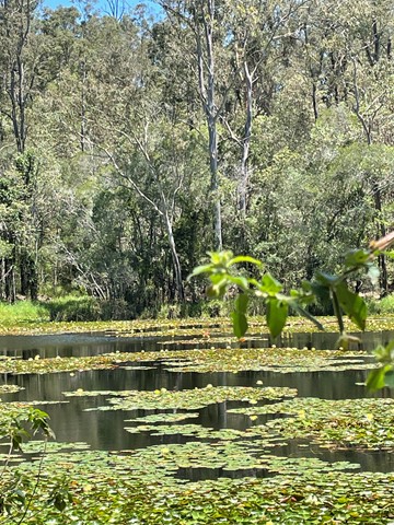
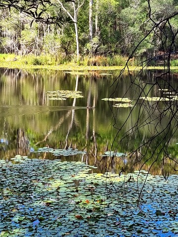
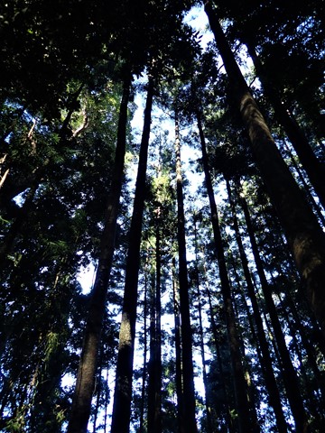
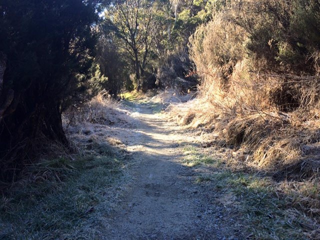
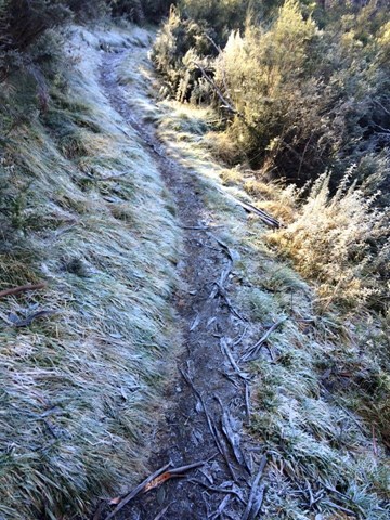
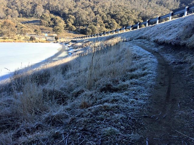
Dundas Road bush camp.Remote bush camping in open eucalypt forest. Enjoy picturesque wet eucalypt forest on your walk to the campsite. This campsite is the most accessible remote campsite in the park and suits overnight campers with some walking experience and fitness.
This is a great place to base yourself to go exploring other areas.
Cabbage Tree Creek bush camp
This open grassy bush camp is named after the nearby Cabbage Tree Creek, a tributary of Lake Manchester. It provides an excellent starting point to explore the creeks and peaks of this section of the park.
Blue Gum Flat bush camp
As the name suggests, magnificent blue gums tower over this bush camp, a short walk from the scenic shores of Lake Manchester.
 21
km
2
days
21
km
2
days
Aquila Loop
Remote bush camping in the remote middle section of the park, alongside picturesque England Creek at the England Creek bush camp. There are several waterholes along England Creek Road, 10 minutes south of the campsite. Look out for native daisies along the road edge flowering spring to summer. Pink rock orchids and tongue orchids can be seen growing on rock cuttings on Joyners Ridge Road in spring.
This trail can also be done as a day hike (6-10 hours).
 26
km
return
2
days
26
km
return
2
days
Kanangra to Kowmung River
A tough overnight walk from Kanangra Walls in the Blue Mountains, down to the wild Kowmung River. This describes the shortest route from Kanangra Walls.
 9
km
return
3
hrs
9
km
return
3
hrs
Settlers Track
This is an easy walk that you can choose to do the full nine kilometres return walk or take the shorter six kilometre return walk. It's the same walk, you just take a short cut to cut out three kilometres of the overall walk.
The walk does have some moderate inclines, but these aren't that challenging if you pace yourself, if you find these parts a little difficult.
The walk takes you past three huts built and used by early settlers. The information brochure that is available at the track head gives good insight and detail of the walk.
 200
m
return
15
mins
200
m
return
15
mins
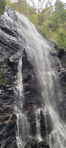
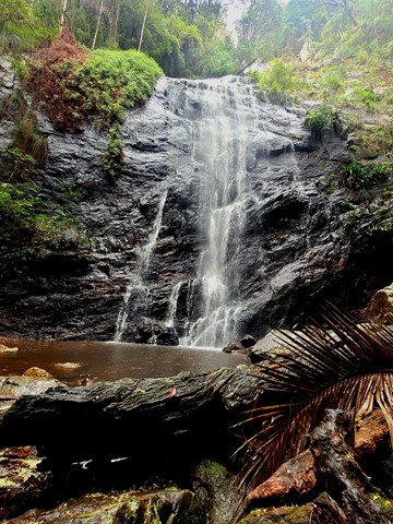
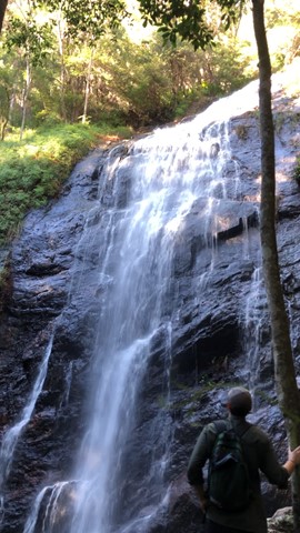
Wappa Falls
Only a very short walk from the car park and a bit of rock hopping if you want some good pictures, with the option to walk up to the dam and Jack Harrison Park.
 2
km
return
20
mins
2
km
return
20
mins
Myrtle Gully Falls and Secret Falls
Near Cascade Brewery on Old Farm Road. Two waterfalls short walk
 9.6
km
return
3
hrs
9.6
km
return
3
hrs
Logan's Gorge
A cool offtrack walk. This is an offtrack walk and good navigational skills are mandatory
11
km
one-way
3.5
hrs
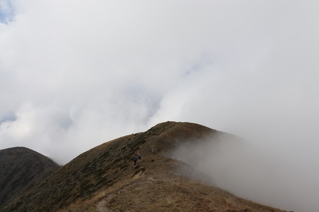
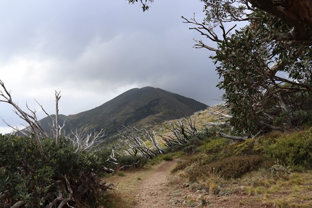
Razorback Ridge to Mount Feathertop
A classic walk along an alpine ridge from Diamantina Hut just bellow Mount Hotham to Victoria's second highest peak Mount Feathertop.
 37
km
4
days
37
km
4
days
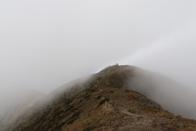
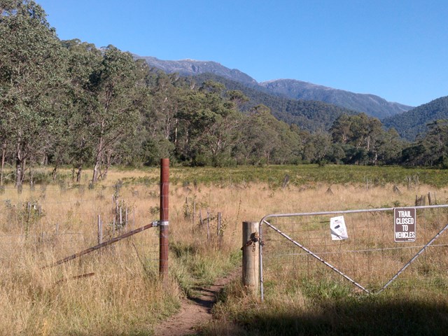
The Main Range from Dead Horse Gap.
An off track walk to begin that tries to bag all 10 of Australia's Highest peaks.
30
km
2
days
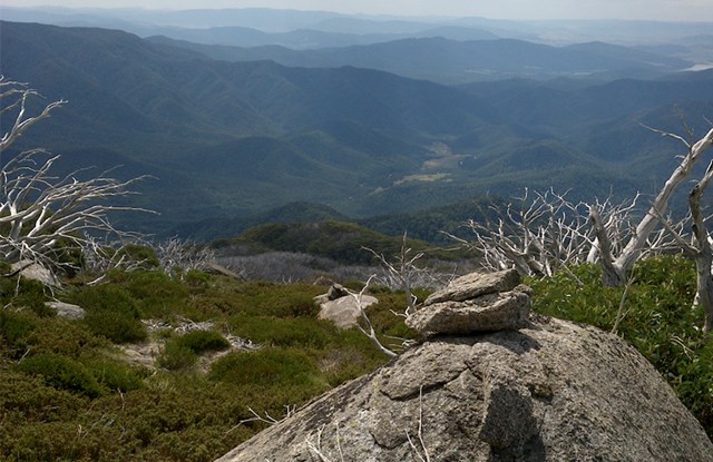
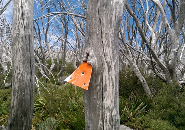
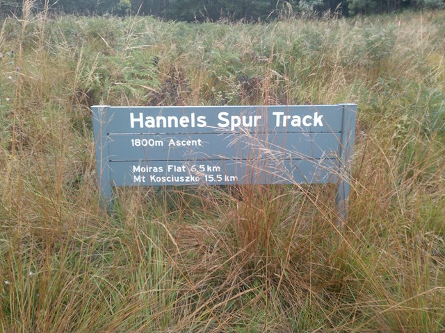
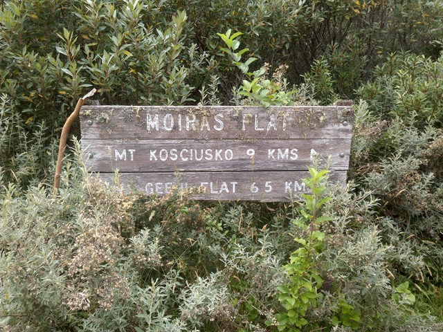
Hannel's Spur
At 1800metres it is the greatest vertical ascent in Australia. It is the same route that Strzelecki took as the first European to climb Kosciusko in 1840. A very tough but rewarding classic route.
 1.5
km
30
mins
1.5
km
30
mins
Corymbia Circuit
A small walk in a cool area before going on to the Araucaria Track
 5
km
90
mins
5
km
90
mins
Araucaria Track
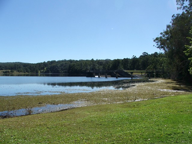
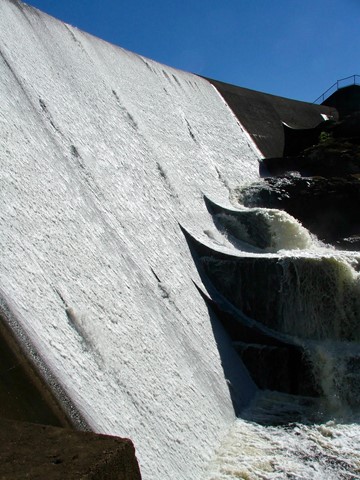
This walk begins off downhill, soon there are some views of the reservoir then the track begins to wind its way along the edge of the reservoir keep an eye out for different water birds.
I would advise taking you camera equipment as well as a pair of binoculars for some good bird watching. After approx 1.7km you come to a Y junction go straight ahead and some more views of the Enoggera weir come into sight. There seems to be alot of bellbirds and a few whipbirds around here.
From here the track winds into some bush some small reminent of rainforest. And from here it gets a bit "are we there, yet" but keep on going up and over the ridge and back down again and you rejoin back at the Y junction.
Now the return route can be a little problem if you leave it late to do this walk because on your return from the Y junction. You will meet alot of people along the way.
Some signs have been errected "brown snakes" in the area. So watch your step when walking around the exposed hot ridge areas.
Also this track can be combined with the Corymbia Circuit to add a bit of distance for you walk.
 9
km
return
8
hrs
9
km
return
8
hrs
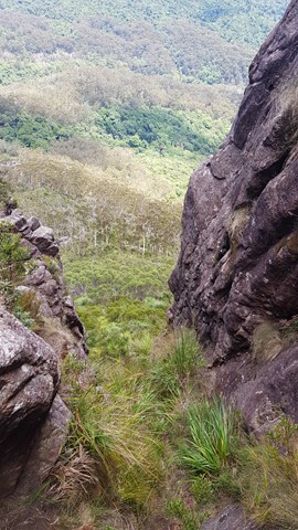
Mt Barney East peak south east ridge
This seems to be a duplicate of part of another walk. The information shown here is incorrect. Please refer to the Mt Barney - East Peak - Up South-East - Down South walk instead: https://www.aussiebushwalking.com/qld/mt-barney/mt-barney-summit/mt-barney-south-east-ridge-ascent-peasants-ridge-descent
Starting from yellow Pinch assend the as per the signage the south east ridge track to the summit
 17
km
return
8
hrs
17
km
return
8
hrs
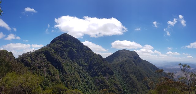
Mt Barney West Peak
Straight up the west peak. The track is a goat track at best. There is the occasional piece of tape in a tree. You probably will get lost. But its not that hard to find your way. One tip is at the big rock face, aim towards the left end (south but not to south as there is a very big cliff). Also a good idea to take a compass bearing on the way up, as white outs are common up here.
The summit is scrubby, with a pile of rocks to mark the highest spot on Mt Barney (its higher than east peak). Head to the the northern end of the peak for amazing views to the north and west.
Even if you dont intend on climbing the whole way up. Do yourself a favour and go a little way, as the veiw up East peak is amazing. Totally different aspect of this incredible mountain.
 9
km
return
2
hrs
9
km
return
2
hrs
Thylogale Track
Walk from Jolly's Lookout to Boombana. The walk is 4.5 kms one way, however you're better off walking back along the path, not the road. Walking along Mt Nebo Road is dangerous with all of its blind corners
 1
km
return
20
mins
1
km
return
20
mins
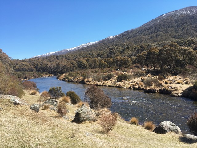
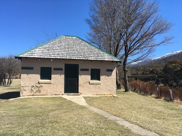
Bullocks Hut Trail
Short, easy path to historic bullocks hut. Beautiful views of the snow capped mountains above. No parks fees necessary. Very doable and safe with small children.
 8
km
return
3
hrs
8
km
return
3
hrs
Thedbo Valley Trails
Pipeline Path - Starting at Valley Terminal go past the tennis courts and the bobsled. As you approach Woodridge residential area take the right hand turn down the stairs to Friday Drive. Turn right and cross the bridge, then on the far side of the bridge cross the road. Between the bridge and the embankment you will see the Pipeline Path leading off, take that path all the way to the end, where you will meet Friday Drive which will take you back to the village, please be aware of vehicles.
Bridle Trail Loop - Starting at Valley Terminal go past the tennis courts and the bobsled. As you approach Woodridge residential area take the right hand turn down the stairs to Friday Drive. When you reach the road, turn left and follow the road edge to Friday Flat, Thredbo’s beginner ski run in the wintertime. Head towards the clock tower beyond which you will see the start of the Bridle Trail Loop. From here the track continues to a fork, take either route as the track circles back to this point. Return along the same route.
 11
km
return
4
hrs
11
km
return
4
hrs
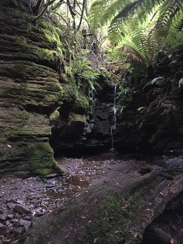
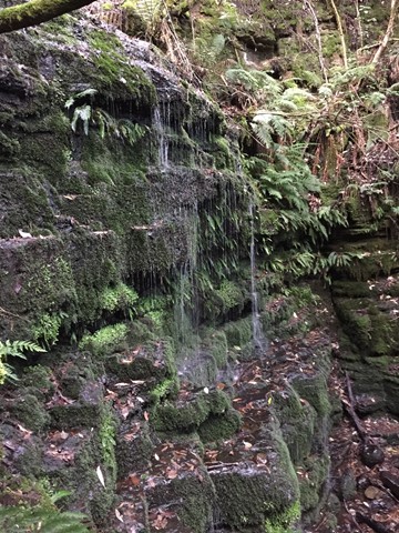
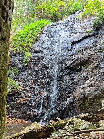
Lower Ballanjui Falls
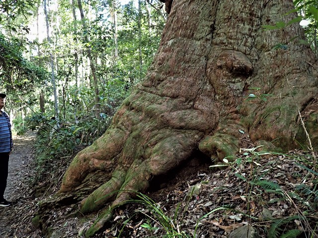
This track uses part of the Ship's Stern track as far as the bottom of Nixon's Creek Valley. It passes through a small section of rainforest at first before the Bellbird Circuit leaves on the left. The track then descends more sharply into the Nixon's Creek valley through eucalypt forest and patches of rainforest. There are good viewing areas at Koolanbilba and Yangahla Lookouts which allow the walker to see views of Egg Rock, Turtle Rock, the Numinbah Valley and Ship's Stern. Down the track, the outcrop known as Kong Gong Rock is reached with the track passing through a cleft in the rock. The track now winds down through eucalypt forest and reaches the Lower Bellbird Circuit junction. Further down are magnificent stands of flooded gum and a giant red cedar. The track to Lower Ballanjui Falls now leads off to the right and follows the creek up towards the base of the falls. The falls are best seen during the wet season of December to March, but are always very beautiful. This is an area where it is wise to carry leech repellent.