
Menu

 3
km
return
3
km
return
 45
mins
45
mins
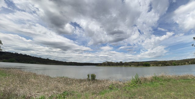
Lake Inverell Reserve
Lake Inverell was formed when the dam wall was put across the Macintyre River, the lake Reserve is now a peaceful spot close to town and is home to a large variety of wildlife
 4
km
return
90
mins
4
km
return
90
mins
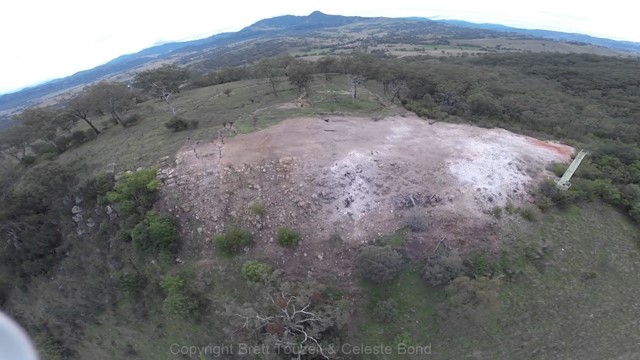
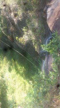
Burning Mountain
Burning Mountain is a unique natural phenomenon and a highlight of the region. The best way to discover this unusual nature reserve is a 4km return track that has some steep sections.
 11
km
one-way
4
hrs
11
km
one-way
4
hrs
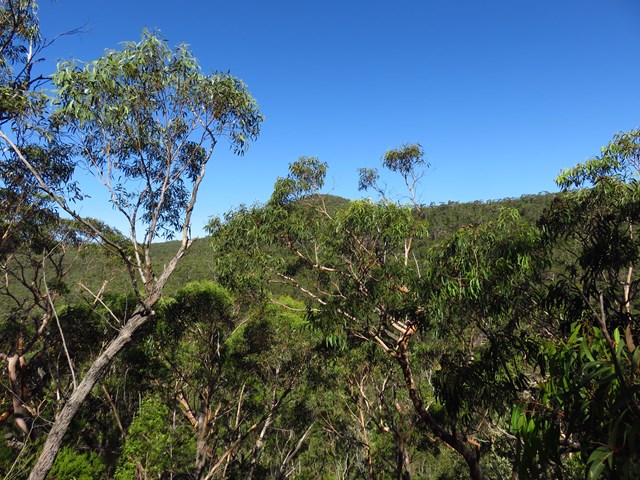
Waterfall to Heathcote
This walk explores the heart of Heathcote National Park, and is easily accessed with a train station at either end. Although relatively close to the start of the walk, Kingfisher Pool, next to Heathcote Creek, is a great spot to break and enjoy the park. Mirang Pool, at the northern end, also offers an opportunity to cool down before the last walk up the hill.
 45
km
one-way
2
days
45
km
one-way
2
days
Six Foot Track
The Six Foot Track has become one of the “classic” NSW overnight walks since it was opened for bushwalking in 1984. It follows the route of the original six foot wide bridle track between Katoomba and Jenolan caves built in 1884. A significant part of the track traverses farming land or uses 4WD roads (and all the official camp sites are accessible by 4WD) so don't expect a wilderness experience!
Faulconbridge to Glenbrook via Lost World
One of the many routes through the Blue Labyrinth, the two-day walk from Faulconbridge to Glenbrook in the lower Blue Mountains combines tracks along Sassafras and Glenbrook Creeks with sweeping views from Lost World Lookout. It's a varied walk with lots of potential camping sites.
 22
km
one-way
2
days
22
km
one-way
2
days
Katoomba to Wentworth Falls via Mt Solitary
A fairly solid 2-day walk that takes you along the Jamison Valley from Katoomba (and optionally up) to Ruined Castle, over Mt Solitary and back up to Wentworth Falls. There’s some steep sections (up and down!) on both days, rewarded by some great views, waterfalls and cascades and nice walking trails. It can easily be done by public transport, or with a car shuffle.
 29
km
one-way
2
days
29
km
one-way
2
days
Mt Victoria to Blackheath via Blue Gum Forest
The longest of the Grose Valley bushwalks is from Mt Victoria to Blackheath via Blue Gum Forest, which follows the Grose River from Victoria Falls to the Blue Gum Forest and then Govetts Creek to Evans Lookout at Blackhheath. You could also ascend via Govett’s Leap, making the walk slightly shorter, or take the spectacular Grand Canyon track to finish at Neates Glen. It can be done as a 2-day walk, or three days if you camp at Burra Korain near Victoria Falls and then at Blue Gum Forest (Acacia Flat).
 29
km
one-way
7
hrs
29
km
one-way
7
hrs
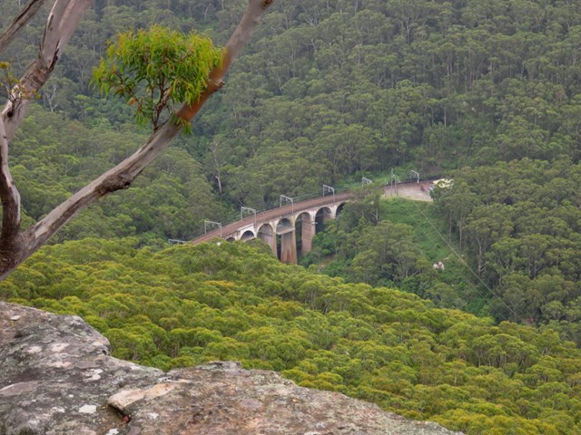
Thornleigh to Berowra (Great North Walk)
One of the more popular and varied sections of the Great North Walk, which traverses the Berowra Valley Regional Park. It can be done in sections from around 7km to 30km, over 1-2 days.
 500
m
return
20
mins
500
m
return
20
mins
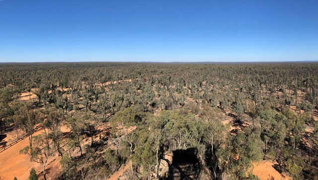
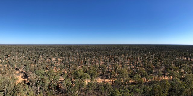
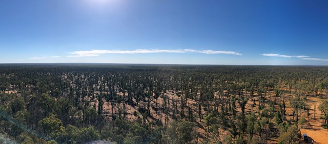
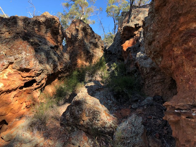
Salt Caves Picnic Area and Pilliga Lookout Tower
Walk up to the Pilliga Forest Lookout Tower and around exploring the Salt Caves. The cave itself is an important Aboriginal site and is an excellent example of shelters used by the traditional Gamilaroi people.
 700
m
one-way
10
mins
700
m
one-way
10
mins
Ellenborough Falls - The Knoll
A walk to a lookout over Ellenborough Falls - one of the highest waterfalls in Australia.
 1
km
return
45
mins
1
km
return
45
mins
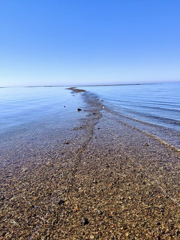
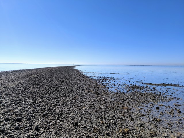
Scarborough Point Low Tide
A short 1km return walk over the mud flat & rocks at Scarborough Point, starting from Tingira Park. At low tide the rocks form a roughly 2m wide path out to a big rocky outcrop in the bay, there's often people fishing or fossicking here. At high tide the entire path and outcrop go underwater.
 2.6
km
return
90
mins
2.6
km
return
90
mins
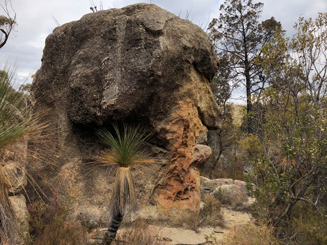
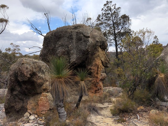
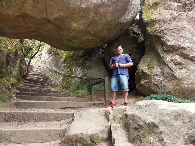
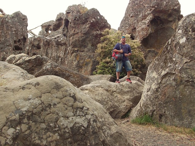
Mystery Face walking track
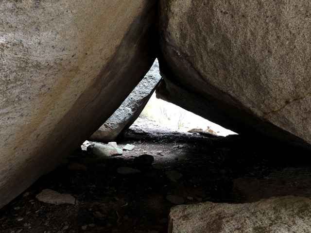
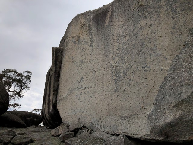
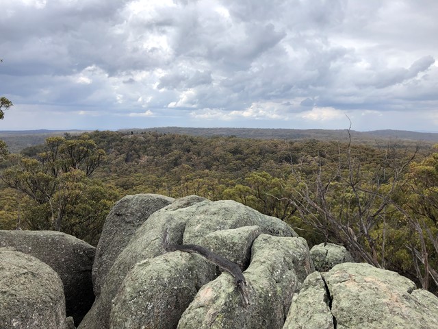
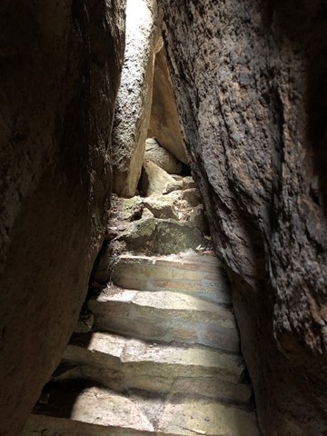
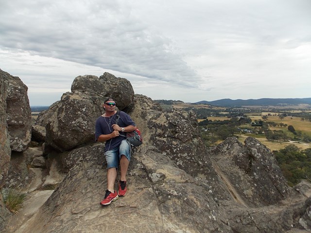
Mystery Face Walking Track is located in Torrington State Conservation Area and provides views of spectacular rock formations
 2
km
return
1
hr
2
km
return
1
hr
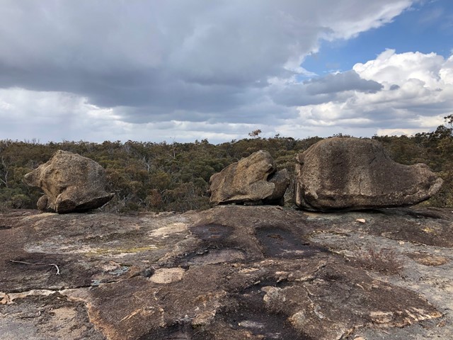
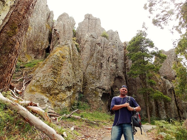
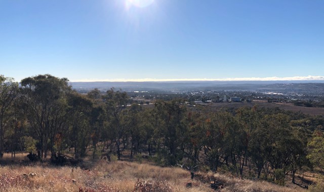
Thunderbolts Lookout Walking Track
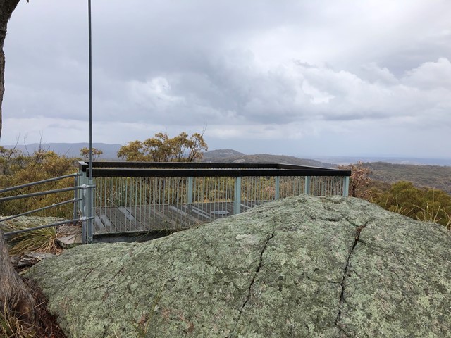
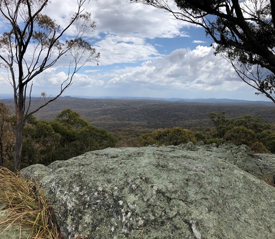
Thunderbolts Lookout Walking Track provides spectacular 360° panoramic views of Torrington State Conservation Area
 2
km
return
90
mins
2
km
return
90
mins
Hanging Rock
Hanging Rock is the location famous for the Mystery surrounding school girls who apparently went missing there in the year 1900. The movie "A Picnic at Hanging Rock" brought this story new interest, and its now a very popular landmark. Hanging Rock is located near the small Victorian town of Woodend, about an hour North of the state capital city, Melbourne.
The Hanging Rock Facility offers carparking, toilets, food, and parklands for bbq's and picnics, apart from the very worthwhile walk up Hanging Rock.
The walk up Hanging Rock is a CLASS 3 level walking track. This walk offers many great photo opportunities, and certainly the impression of mystery and perhaps eeriness.
Definitely a worthwhile stop during your travels ....
 100
m
return
5
mins
100
m
return
5
mins
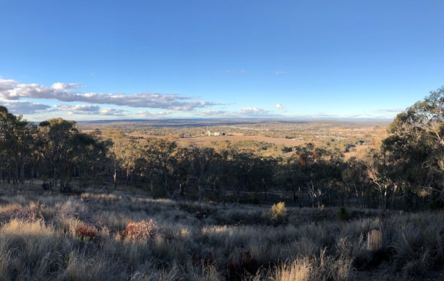
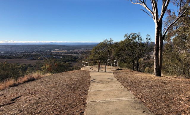
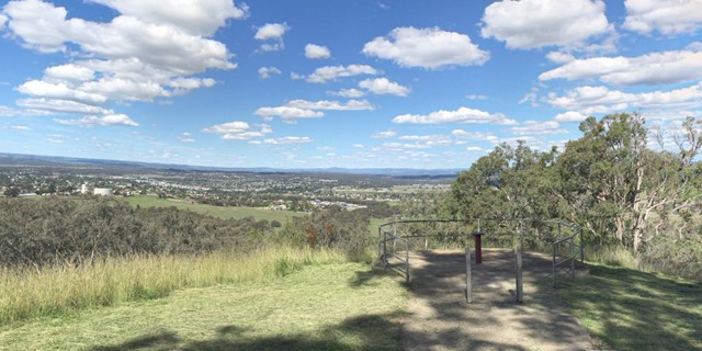
McIlveen Park Lookout
McIlveen Park Lookout is 3km west of Inverell and gives views of Inverell and surrounds
 7.6
km
return
2
hrs
7.6
km
return
2
hrs
Ngank Wen Bidi
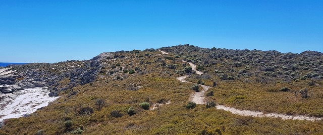
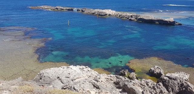
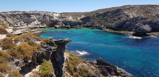
The western end of the Island is a marine wildlife haven! New Zealand fur seals can be seen from the viewing platform at Cathedral Rocks and the West End boardwalk is a great place to spot dolphins, and the seasonal migration of humpback whales! The loop circumnavigates the entire West End, guiding you along some of the most remote trail on the Island. The views from the south coast span back to the mainland and all the way to Garden Island. Along the north coast you will encounter bays that may well become your new favourite Rottnest bay! You will not be disappointed.
 8.26
km
return
3
hrs
8.26
km
return
3
hrs
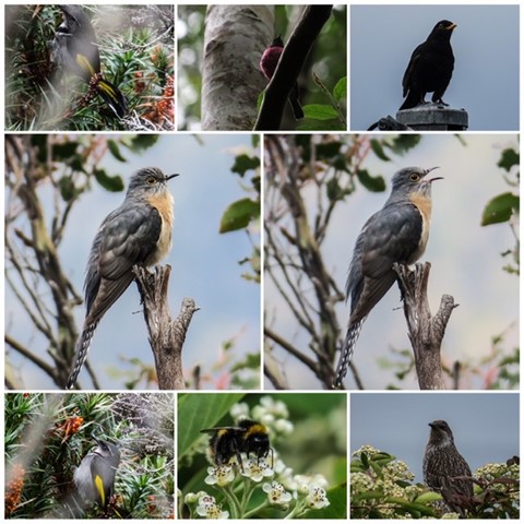
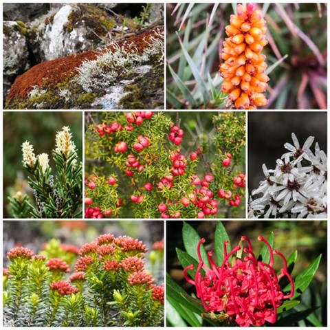
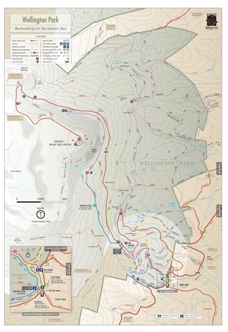
Mt. Wellington - Zigzag/Icehouse loop
From The Springs picnic area to Mt. Wellington summit via iconic Zigzag track and return via scenic Icehouse track. Or go up Icehouse track and down Zigzag track. Weather highly variable.
 3
km
return
3
km
return
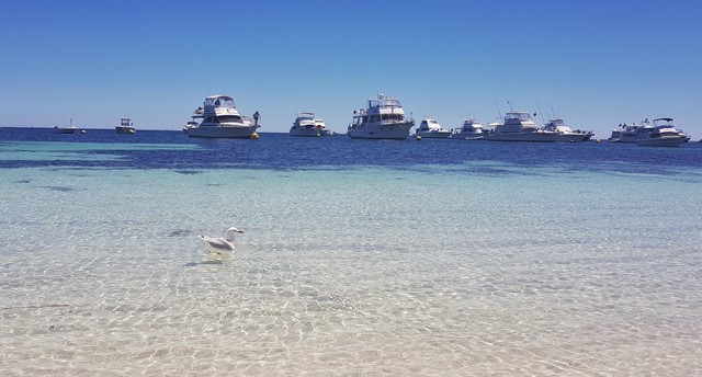
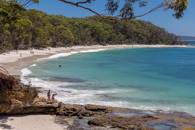
Murrays Beach and Governor Head
Murrays Beach is a sheltered and very scenic beach in Booderee National Park (Jervis Bay), a short walk from the car park,
 16
km
one-way
5
hrs
16
km
one-way
5
hrs
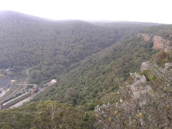
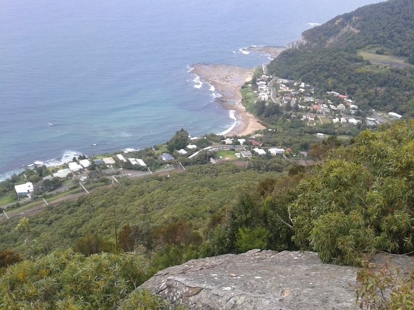
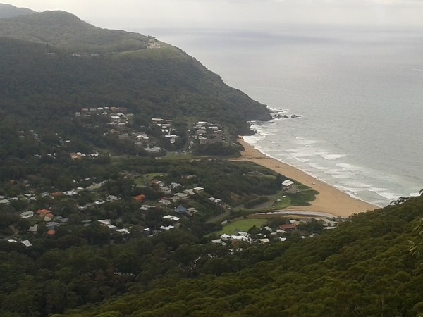
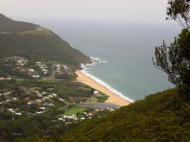
Illawarra Escarpment Track (Forest Walk)
If you want to stretch your legs and take in some of the best views of the region, you can’t miss this - a bushwalk of the highest calibre.
The Illawarra Escarpment offers a full range of exciting walks. This extended hike combines several of the best, threading through magnificent cliff-top rainforest and dry eucalypts.
Start the walk at either Coalcliff (Wodi Wodi track) or Austinmer (Sublime Point track). Both trackheads are a short stroll from the train station. Your path then ascends sharply before snaking a leisurely 11km along Forest walk. Views are superb across the panoramic coast below, as you wander through upland swamps and tall blackbutt-apple shale forest. You’re bound to capture some inspiring photos here.
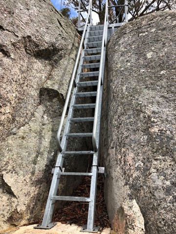
You can cap it all off with a post-trek barbecue: at Sublime Point lookout, the track takes a steep turn down to Austinmer via a narrow cliff ledge and several ladders. The nearby Lady Fuller park, featuring picnic tables and toilets, offers a fitting end to your challenging, but rewarding hike.