
Mt. Wellington - Cascade to Lost World
Wellington Park


Menu
GPS Tracks


An amazing hike through a variety of scenery and terrain until you get to the lost world track where things get a bit tricky. The best way to explore the complexity of Mt. Wellington through the changing altitude environment.

Getting there
This hike starts at the back of Cascade Brewery. Public transport available from Hobart City centre.
Route/Trail notes
Start at the back of the brewery, take the Cascade track and follow it until it ends on a fire trail.
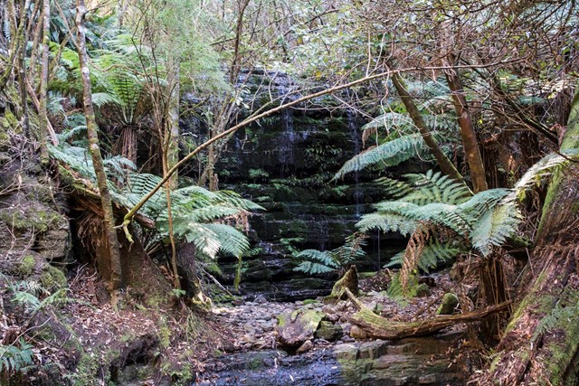
From here enter the Myrtle Gully track and climb up this well maintained path through spectacular myrtle forest along a creek with some waterfalls and bridges along the way until you end on a fire trail. Turn left and after few metres you arrive at the "Junction Hut", a nice picnic spot with shelter.
From the hut head west on the "Hunters track" gently climbing up, alternating sections of well defined track and blocky scree until intersection. Keep walking straight at the intersection, you are now on a section of the "Old Hobartians track", a less mantained track.
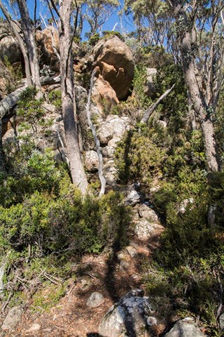
Follow this track gently downhill in a westerly direction untill you hit a big bend turning sharply east. At the bend exit the track of your left and start climbing and scrambling west on steep and blocky terrain, with huge boulders covered in moss and slime.
The zigzagging path of least resistence is marked on the boulders, visible if you are ascending but hidden if you descend the route. This sections is slow going and requires a medium level of route finding skills. A good footwork is necessary to negotiate the slippery boulders.
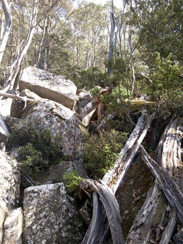
After ascending 200m you arrive at the "Lost World", an amphitheatre of columnar cliffs similar to the Organ Pipes. From here traverse right over giant rock formations and carefully hopping over some deep crevasses to find the lost world track and climb up to Big Bend, negotiating some fun scrambly sections and some weird moves for a hike.
Remember the weather can change dramatically towards the summit of the hike, making the last section near Lost World challenging on slippery rock.
Permits/Costs
None
 Lost world cascade track (GPX)
 9
9 3
3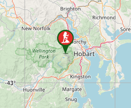
Comments