
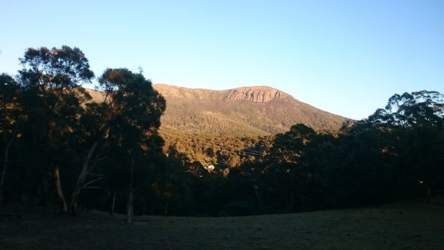
Mt. Wellington - Zigzag/Icehouse loop
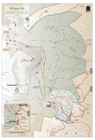
Wellington Park


Menu
GPS Tracks


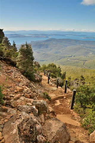

From The Springs picnic area to Mt. Wellington summit via iconic Zigzag track and return via scenic Icehouse track. Or go up Icehouse track and down Zigzag track. Weather highly variable.
Lookouts
Bird Watching
Picnic Facilities
Toilets
1255m
Maximum Elevation
686m
Total Climb

Getting there
Drive and park at "The Springs" picnic area on the summit road
Route/Trail notes
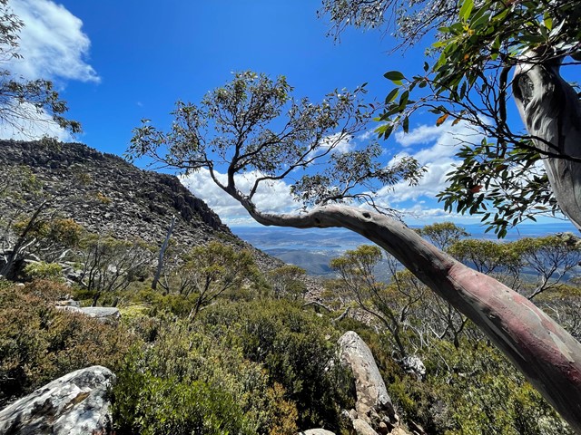
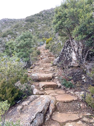
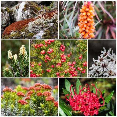
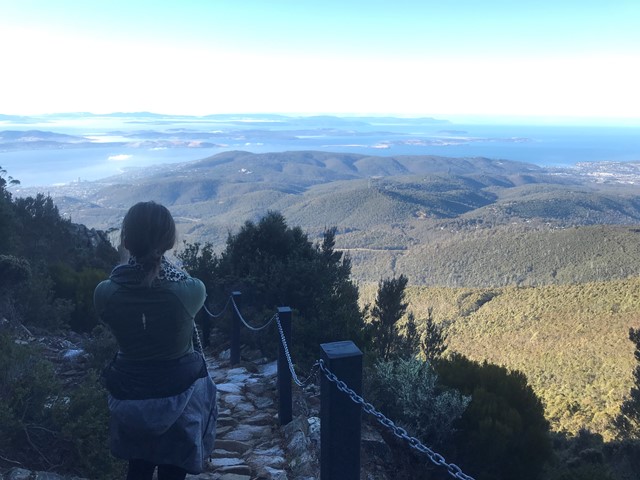
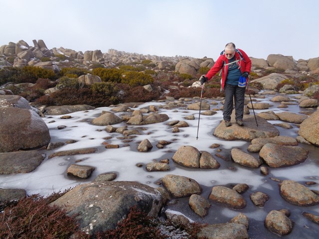
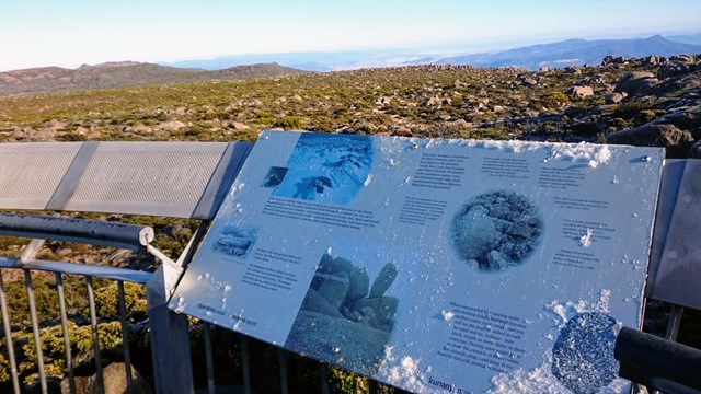
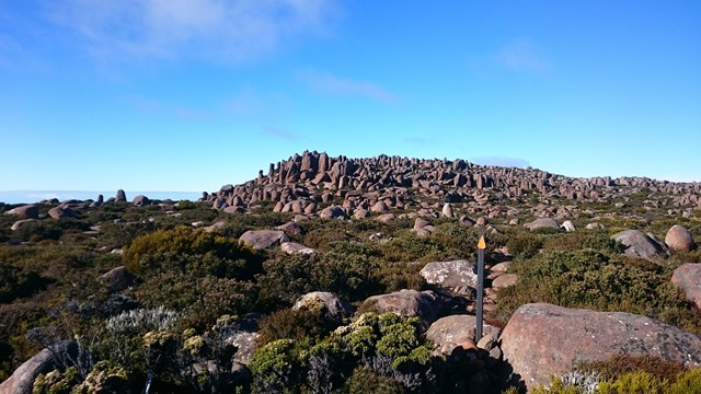
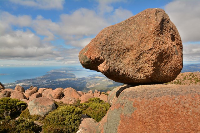
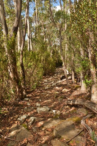
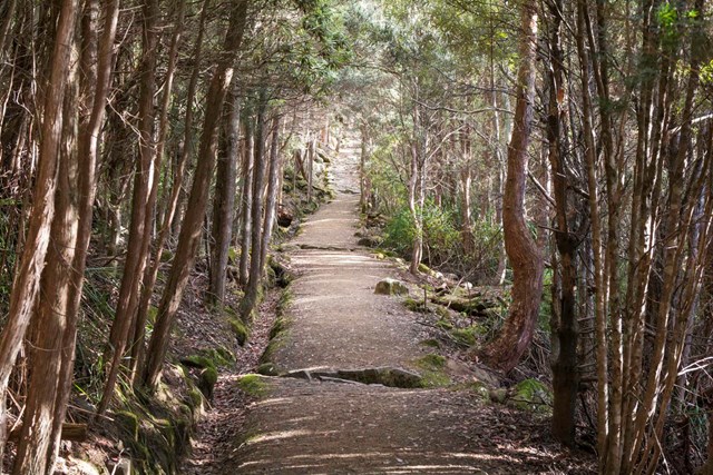
From The Springs picnic area walk up Pinnacle track until you meet the Zigzag track on the left. Follow this to the summit, then head south on the South Wellington track, rock hopping, with a break at Rocking Stone. Descent via Icehouse track back to the car. Easy hike, not too steep but watch for rapid weather changes at the top. Spectacular views over Hobart and the Tasman Peninsula.
Permits/Costs
None
 Zigzag Icehouse track (GPX)
 8.26
8.26 3
3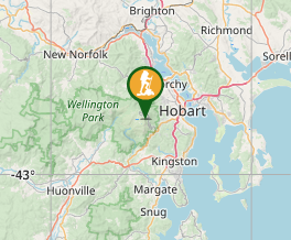
Comments