


 135
135 6
6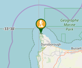
Aussie Bushwalking can keep track of your bushwalks.
Login/signup to tick this walk off.Cape to Cape Track
Western Australia
Menu
The track runs between the lighthouses of Cape Naturaliste and Cape Leeuwin. 135km. End to End 5-7 days. Hike all year round. Best time to hike Spring.
Getting there
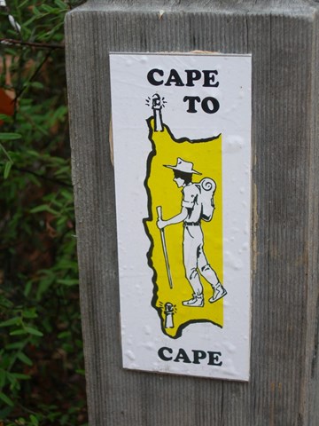
The track starts at the Dunsborough lighthouse (Cape Naturaliste) and ends in at the Augusta Lighthouse (Cape Leeuwin). The track has signage all the way.
Maps
http://www.capetocapetrack.com.au/map-showing-sections.html
Route/Trail notes
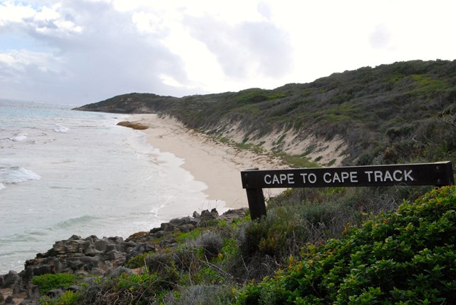
The Track is situated in the far south western corner of Western Australia. It runs along the spine of the Leeuwin-Naturaliste Ridge, through the Leeuwin-Naturaliste National Park, between the lighthouses of Cape Naturaliste and Cape Leeuwin. The Track mostly follows the coast, alternating spectacular sweeping cliff-top views with stretches of pristine beach. There are several inland loops however, which take in some lovely sheltered woodland sections as well as the magnificent Boranup karri forest.
There are two detailed maps 1:50,000 produced by the Department of Environment and Conservation (DEC), with a section on each side (so 4 maps in total) covering the Cape to Cape Track. These can be purchased separately ($11 each), or together in a Map Pack ($22).
Four wild campsites are in place at Mt Duckworth north of Yallingup, Moses Rock, Ellensbrook and Deepdene. These are shown in the brochures and the Guidebook (see section below). They have water tanks, toilets and picnic tables, but there are no shelters. There is no charge but they are ‘walk in’ only, with no vehicle access. They are suitable for small groups only. Walkers may also use the DEC (Dept. of Environment and Conservation) campgrounds at Contos, Point Road and Boranup, which is just off the Track near Boranup Drive Lookout. These carry a small nightly charge of $7 per adult, $2 per child. There are also commercial caravan parks in or near each townsite. Camping by walkers without vehicle backup is also permitted in the National Park, anywhere along the Cape to Cape track.
Permits/Costs
Do you need any permits? No. What's the cost? Free. $0
Other References
How can I find more info? http://www.capetocapetrack.com.au/
GPS Tracks
- No GPS available for this walk yet.
Comments
Nobody has commented on this walk yet. If you've done it then tick it off and add a comment.