
Menu

 4.2
km
return
4.2
km
return
 90
mins
90
mins
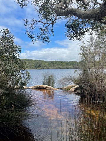
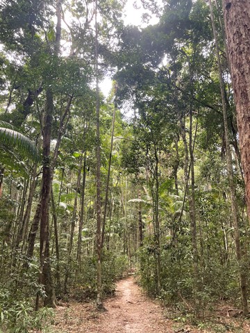
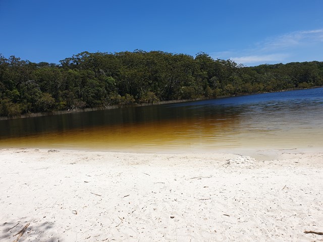
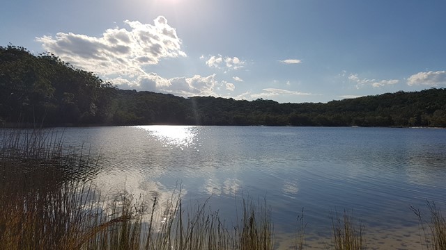
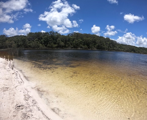
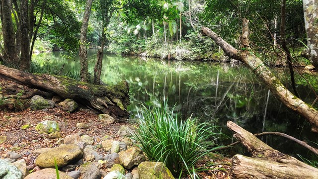
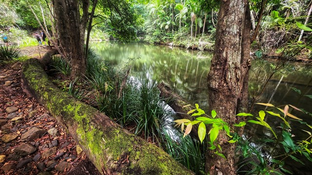
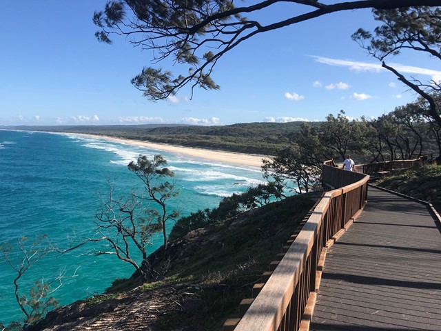
Poona Lake walk
Easy walk through tall forest with kauri and hoop pines, piccabeen palms and strangler figs
 4.4
km
return
2
hrs
4.4
km
return
2
hrs
Bushland Corridors (Rouse Hill)
An early farm house, original land grants, a mysterious grave, remnant bushland including Forest Red Gum woodland and heathland, waterways and water birds. The Rouse Hill area was settled early in Sydney’s history. The first land grant in this area was to Governor William Bligh in 1806. Richard Rouse was the next landowner in 1813.
 6.2
km
return
2.5
hrs
6.2
km
return
2.5
hrs
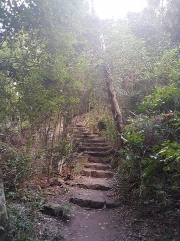
O'Hara's Creek Walk (Kenthurst)
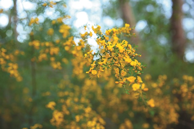
A large variety of local wildflowers, tall trees, valley and district views. This is a lovely walk along a sandstone ridge with significant Sandstone Ridgetop vegetation and down into a valley of tall trees. O’Hara’s Creek is named after James O’Hara, who is the first documented settler in the area. The creek rises near Round Corner in Dural and flows into Cattai Creek near Maraylya Bridge.
 3.6
km
return
2
hrs
3.6
km
return
2
hrs
Geebung Walk (Fred Caterson Reserve, Castle Hill
Shale Sandstone Transition Forest which supports a rich diversity of flora, Sydney Sandstone Ridgetop Woodland and Sydney Sandstone Gully Forest near Cattai Creek. There is a large variety of native plants growing in the reserve which means you will see wildflowers in most months of the year as well as many species of birds which feed on them. Fred Caterson Reserve is Crown land under the care and control of The Hills Shire Council. It has been designated as an area for public recreation since 1895.
 3.5
km
return
90
mins
3.5
km
return
90
mins
Wildflower Walk (Cranston's Road, Middle Dural)
See a variety of Sydney’s distinctive wildflowers and if you are lucky a glimpse of a swamp wallaby. The Sydney region has one of the most diverse flora in the world. Some of the most spectacular wildflower displays can be seen on the nutrient poor sandstone ridges. There are several places to see our beautiful wildflowers - the fire trail at the end of Cranston’s Road Middle Dural is one of them.
 2.4
km
return
90
mins
2.4
km
return
90
mins
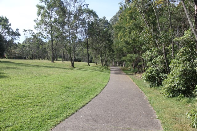
Heritage Park (Castle Hill)
An easy to medium grade walk (for pram users and those with small children please note there are two steep hills) on paved paths. This is the site of the former Convict Farm
established in 1801 and scene of the Rebellion of 1804. The site is of national significance and is owned and managed by The Hills Shire Council. Interpretive signs tell the various stories of its many layered history.
 6.4
km
return
3
hrs
6.4
km
return
3
hrs
Heritage Trail (Baulkham Hills)
This walk goes through the Headwaters of Toongabbie Creek which was the earliest land to be settled in Baulkham Hills. Following the example of George Suttor who pioneered the citrus growing industry in The Hills, the district hosted fruit orchards until the 1950s. Now houses have replaced farms but lovely bushland can still be enjoyed in the valleys. Interpretive signs tell the stories of the early settlers.
16
km
2
days
Cania Gorge
Seven walks all well signposted, covering a distance of 16km, with photo opportunities and better after a wet season. Biggest walk 22kms return.
 14
km
one-way
8.5
hrs
14
km
one-way
8.5
hrs
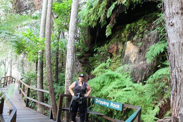
Obi Obi Gorge
Either a rock hop and swim down Skene Creek and Obi Obi Creek. Alternatively you can follow the Great Walk Path ( A lot easier but not as scenic).
 20
km
5
hrs
20
km
5
hrs
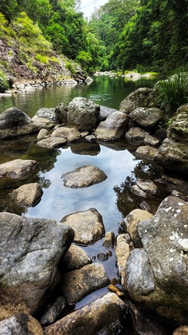
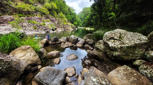
Baroon Pocket to Kondalilla Falls (return)
A stroll through the Southeast Queensland rainforest, with spectacular views down Obi Obi Creek.
 58
km
4
days
58
km
4
days
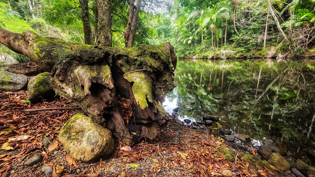
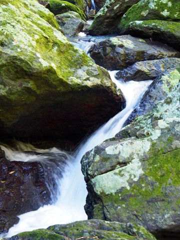
Sunshine Coast Hinterland Great Walk
Warm subtropical rainforest, tall open eucalypt forest and picturesque waterfalls in secluded areas of the Blackall Range feature on this 58 km four day walk, with bush campsites. Day visitors can access short half-day and full-day walks within the Great Walk route.
 20
km
20
km
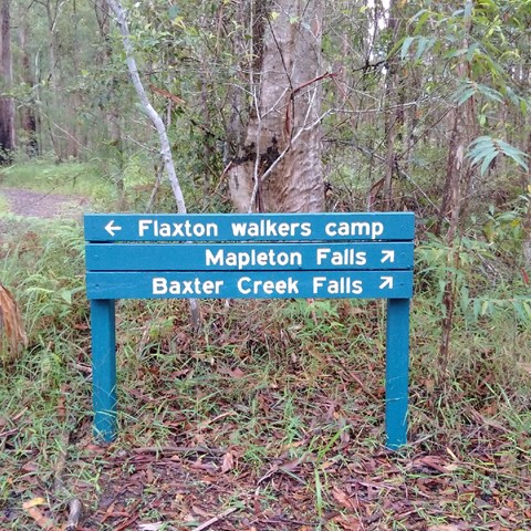
Great Sunshine Walk - Baroon Pocket Dam to Mapleton Falls
Great walk - half the great sunshine walk, enables you to do half one weekend and the other half later. Start at Baroon Pocket Dam, camp at flaxton camp and then finish in Mapleton Falls.
 6.8
km
return
3
hrs
6.8
km
return
3
hrs
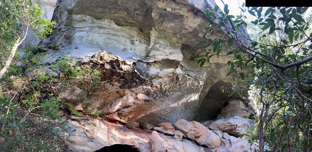
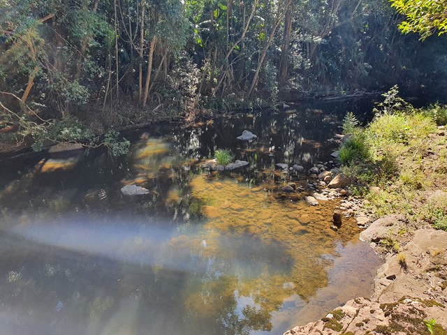
Jingga Pool and Minerva Pool
Dharawal National Park in the south-west of Sydney offers a few short walking tracks to idyllic swimming holes (Jingga Pool and Minerva Pool), and a longer cycling track. Both Jingga Pool and Minerva Pools feature on many Web sites on "best swimming holes around Sydney".
 6
km
return
3
hrs
6
km
return
3
hrs
Buckby Road, Belli Park
From the Kenilworth Eumundi Road turn left into Buckby Road just before Murray’s crossing. Park your car on the gravel at the bottom and walk along the gravel road to the Microwave tower. According to the gps it’s 6kms there and back. Beware this road is used by vehicles. Beautiful scenery.
3.1
km
return
1
hr
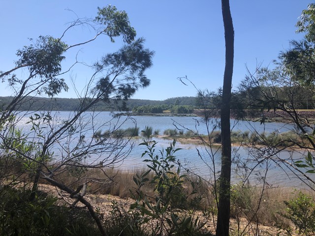
Cooloolabin Dam
A very peaceful easy walk around one side of Cooloolabin Dam, with great views. Lots of bird life and visitors are allowed to fish from the banks.
 10
km
return
2.5
hrs
10
km
return
2.5
hrs
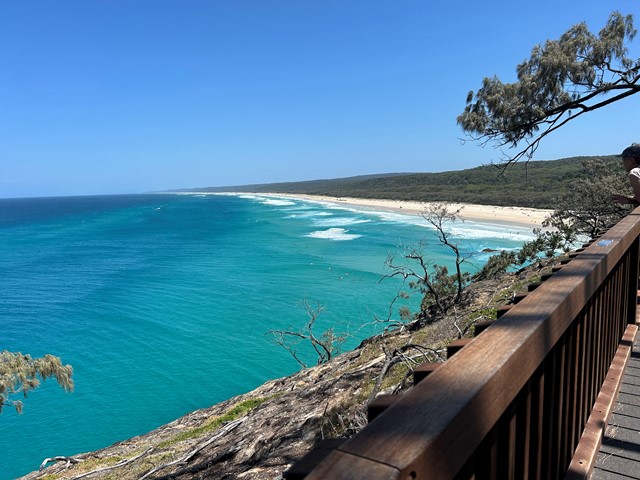
Point Lookout to Keyholes
Start from Point Lookout and walk southward down the beach till a sign in the dunes where you head in land for about 100m to the keyholes. Then head back to Point Lookout same way.
Look out for 4WDs
 6.7
km
return
105
mins
6.7
km
return
105
mins
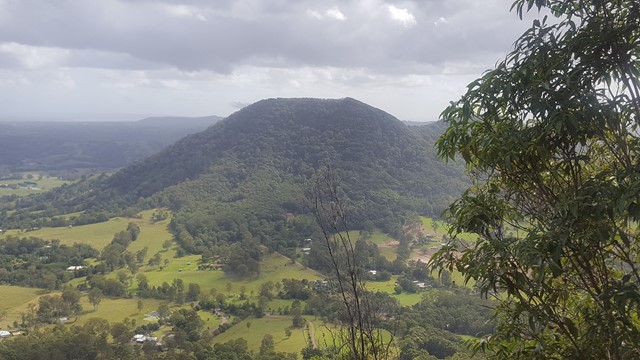
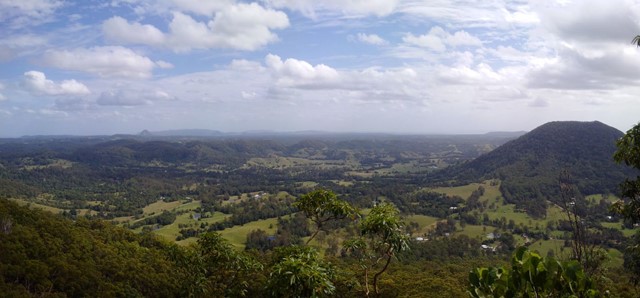
Point Glorious
A walk in along a forest road, with the reward of wonderful views of the surroundings from the lookout, including Mt Eewah, which at 422m is just 2km in front of you.
 11
km
return
2.5
hrs
11
km
return
2.5
hrs
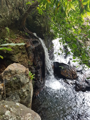
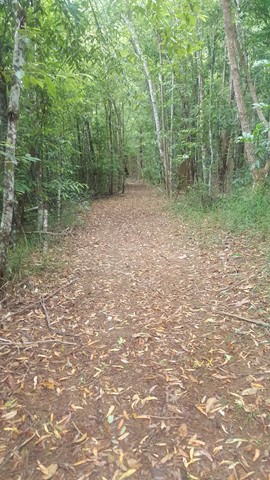
Komine Circuit
Cooler winter months are the best time to explore this circuit. It winds through open scribbly gum forest and includes large sections of track with little shade.
A number of creeks lead to rock pools and cascades, which flow after heavy rainfall.
 7.8
km
return
2
hrs
7.8
km
return
2
hrs
Lemon Tree Circuit
Similar to the Rocky Creek circuit, this track includes dry, rocky ridges. Some sections are more exposed, making the dry open forest a hotter area through which to travel, especially during the warmer summer months.
 1.5
km
return
45
mins
1.5
km
return
45
mins
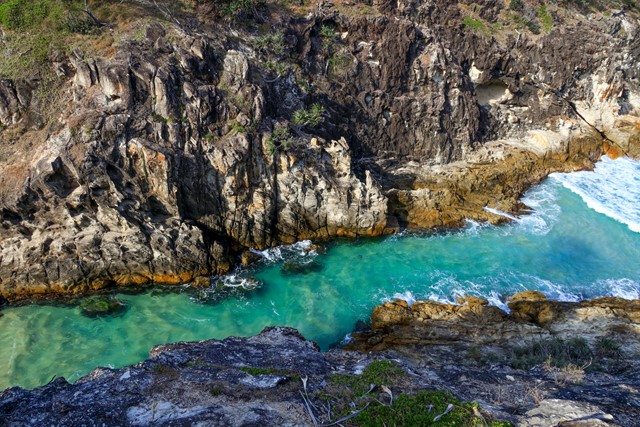
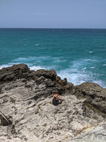
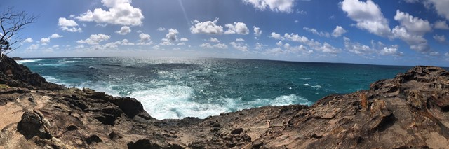
North Gorge Walk (Point Lookout)
Straddie’s impressive headland walk called the North Gorge walk is located at the north western end of Point Lookout and is the best vantage point on the island to watch the whales and marine life pass right before your eyes.
The walk encompasses the best of both worlds, with its raw and jagged headland to one side, and natural bushland on the other. Known for its best viewing experience of migrating humpback whales, the Gorge Walk also has a unique rock formation called the ‘Blow Hole’, similar to that of a humpback whale. The Gorge Walk is a North Stradbroke Island icon and reveals just how pristine and unspoiled the island truly is.
Access to the Gorge Walk is on Moloomba Road at Point Lookout, opposite Fishes Cafe and the Oceanic Gelati Shop.